Gorse Covert

Wood, Forest in Suffolk West Suffolk

England

Gorse Covert

Byway through Deadman's Grave Open access land, but closed except for the byway from the start of March to the end of October to protect rare and ground-nesting birds.
Byway through Deadman's Grave Credit: Hugh Venables

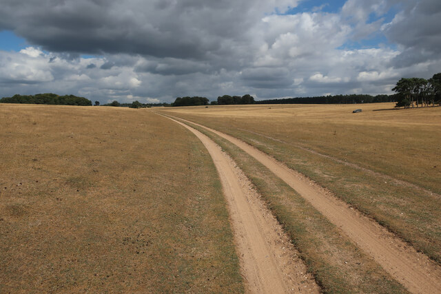
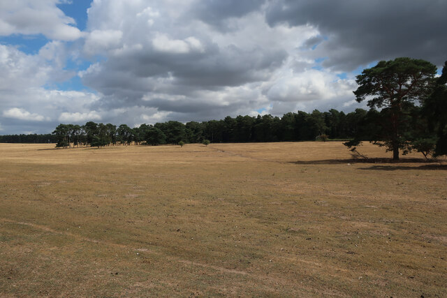
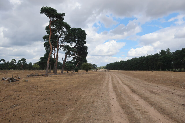
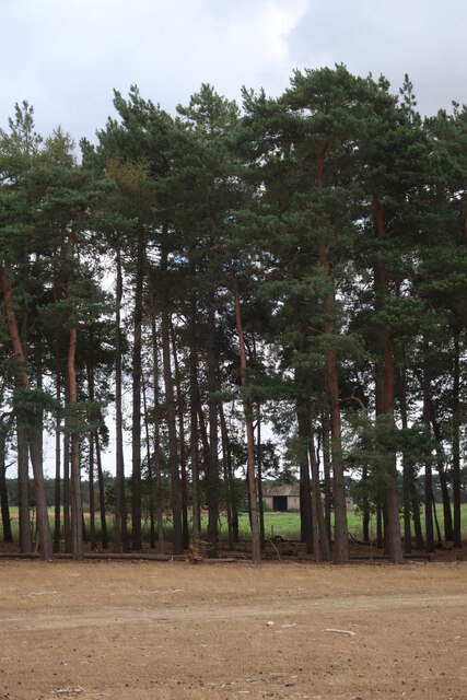
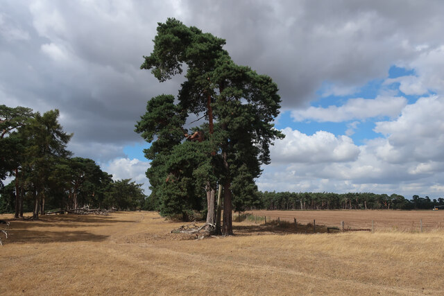
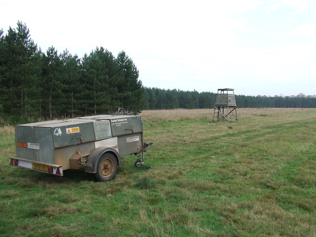
Gorse Covert, Suffolk is a picturesque wood located in the county of Suffolk, England. Situated near the town of Lowestoft, this enchanting forest covers an area of approximately 100 hectares and is a haven for nature lovers and outdoor enthusiasts.

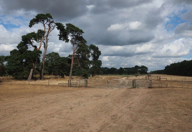
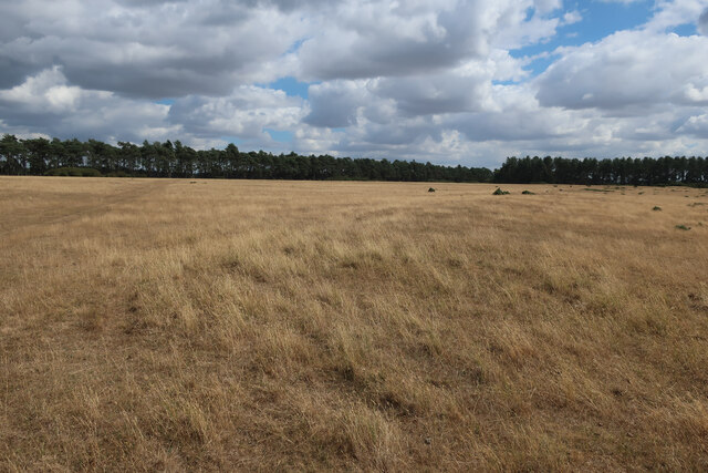
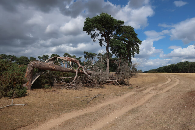
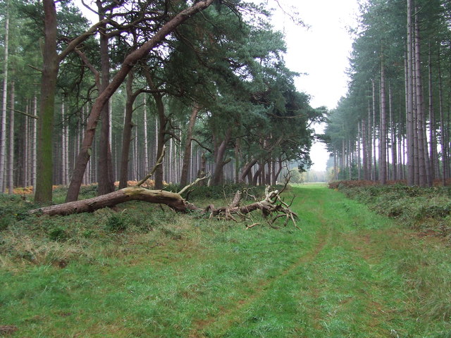
The wood is primarily composed of native British trees such as oak, birch, and beech, which create a diverse and vibrant ecosystem. Gorse bushes, after which the wood is named, dot the landscape with their bright yellow flowers, adding a splash of color to the surroundings. These bushes not only provide a striking visual display but also act as a valuable habitat for various bird species.

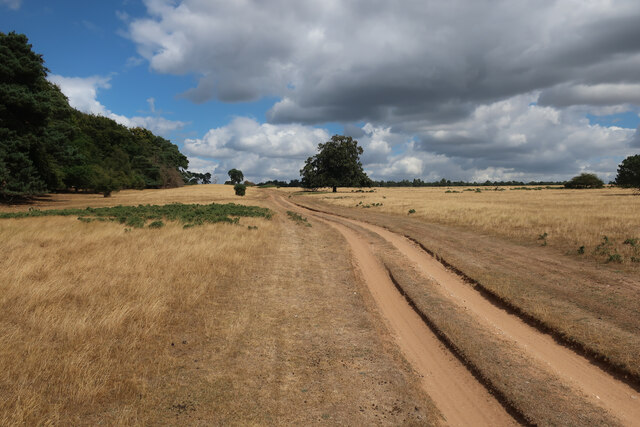
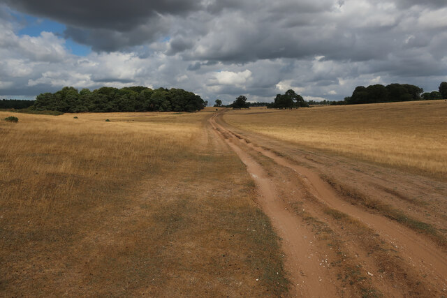
The wood is intersected by a network of well-maintained footpaths, allowing visitors to explore its beauty at their own pace. These paths wind through the trees, offering glimpses of wildlife such as deer, squirrels, and a wide variety of birdlife. Additionally, the wood is home to numerous plant species, including bluebells and wild garlic, which create a stunning display in the spring.

Gorse Covert also boasts a small pond, which serves as a watering hole for many animals and attracts a variety of migratory birds. The tranquil atmosphere surrounding the pond provides a perfect spot for quiet contemplation and birdwatching.

Overall, Gorse Covert, Suffolk is a delightful woodland retreat, providing visitors with the opportunity to immerse themselves in nature, observe wildlife, and enjoy the peaceful ambiance of this beautiful forest.

If you have any feedback on the listing, please let us know in the comments section below.

Gorse Covert Images

Images are sourced within 2km of 52.333964/0.63085667 or Grid Reference TL7973. Thanks to Geograph Open Source API. All images are credited.

Byway through Deadman's Grave Open access land, but closed except for the byway from the start of March to the end of October to protect rare and ground-nesting birds.
Byway through Deadman's Grave
Open access land, but closed except for the byway from the start of March to the end of October to protect rare and ground-nesting birds.
Deadman's Grave Grassy warren north of Icklingham. Open access land, but closed except for the byway from the start of March to the end of October to protect rare and ground-nesting birds.
Deadman's Grave
Grassy warren north of Icklingham. Open access land, but closed except for the byway from the start of March to the end of October to protect rare and ground-nesting birds.
Irrigation boom by Seven Tree Road
Seven Tree Road from Deadman's Heath
Tree belt by Seven Tree Road
Seven Tree Road Byway leaving Deadman's Grave.
Seven Tree Road
Byway leaving Deadman's Grave.
Deadman's Grave Grassy warren north of Icklingham.
Deadman's Grave
Grassy warren north of Icklingham.
Byway across Deadman's Grave
Edge of Deadman's Grave Open access land, but closed except for the byway from the start of March to the end of October to protect rare and ground-nesting birds.
Edge of Deadman's Grave
Open access land, but closed except for the byway from the start of March to the end of October to protect rare and ground-nesting birds.
Byway across Deadman's Grave Open access land, but closed except for the byway from the start of March to the end of October to protect rare and ground-nesting birds.
Byway across Deadman's Grave
Open access land, but closed except for the byway from the start of March to the end of October to protect rare and ground-nesting birds.
Forest Track Forest track near to Icklingham, Suffolk.
Forest Track
Forest track near to Icklingham, Suffolk.
Forest View Forest commission trailer and tower in the forest near to Icklingham, Suffolk.
Forest View
Forest commission trailer and tower in the forest near to Icklingham, Suffolk.
Field margin at Icklingham The wooded area is the southern fringe of The King's Forest.
Field margin at Icklingham
The wooded area is the southern fringe of The King's Forest.
The King's Forest A track leading westwards from Icklingham Belt.
The King's Forest
A track leading westwards from Icklingham Belt.
Pine trees at Icklingham The Lark Valley footpath crosses this field.  Beyond the pines is the southern fringe of The King's Forest.
Pine trees at Icklingham
The Lark Valley footpath crosses this field. Beyond the pines is the southern fringe of The King's Forest.
Telegraph Lane, Icklingham A private farm track leading to Telegraph Plantation, on the western fringe of The King's Forest.
Telegraph Lane, Icklingham
A private farm track leading to Telegraph Plantation, on the western fringe of The King's Forest.
General Stracey's Covert A small plantation north of Icklingham.
General Stracey's Covert
A small plantation north of Icklingham.
Show me another place!

Gorse Covert is located at Grid Ref: TL7973 (Lat: 52.333964, Lng: 0.63085667)

Administrative County: Suffolk

District: West Suffolk

Police Authority: Suffolk

What 3 Words

///dwarf.kebab.motoring. Near Mildenhall, Suffolk

Nearby Locations

Gorse Covert

Related Wikis

Deadman's Grave, Icklingham

Deadman's Grave, Icklingham is a 127.3-hectare (315-acre) biological Site of Special Scientific Interest north-east of Icklingham in Suffolk. It is a Nature...

All Saints' Church, Icklingham

All Saints' Church is a redundant Anglican church in the village of Icklingham, Suffolk, England. It is recorded in the National Heritage List for England...

West Stow Anglo-Saxon Village

West Stow Anglo-Saxon Village is an archaeological site and an open-air museum located near to West Stow in Suffolk, eastern England. Evidence for intermittent...

West Stow Heath

West Stow Heath is a 44.3-hectare (109-acre) biological Site of Special Scientific Interest west of West Stow in Suffolk. It is part of the Breckland Special...

Berner's Heath

Berner's Heath is a 236.9-hectare (585-acre) biological Site of Special Scientific Interest north-east of Icklingham in Suffolk. It is a Nature Conservation...

Lackford

Lackford is a village and civil parish in the West Suffolk district of Suffolk in eastern England. Located around four miles north-west of Bury St Edmunds...

West Stow Hall

West Stow Hall is a Tudor manor house in West Stow, Suffolk, England, near Bury St Edmunds. It was begun in around 1520 for Sir John Croftes, Master of...

Lackford Lakes

Lackford Lakes is a 105.8-hectare (261-acre) biological Site of Special Scientific Interest (SSSI) north and east of Lackford in Suffolk. The SSSI is part...

Have you been to Gorse Covert?

Leave your review of Gorse Covert below (or comments, questions and feedback).