Butcher's Covert
Wood, Forest in Norfolk King's Lynn and West Norfolk
England
Butcher's Covert
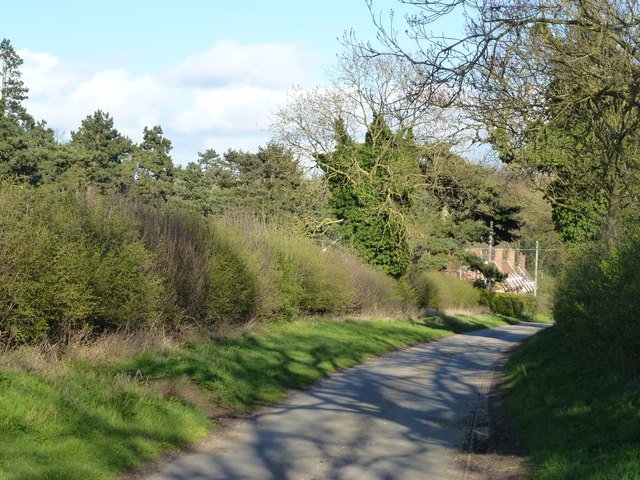
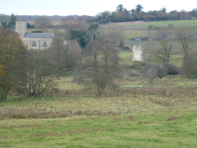
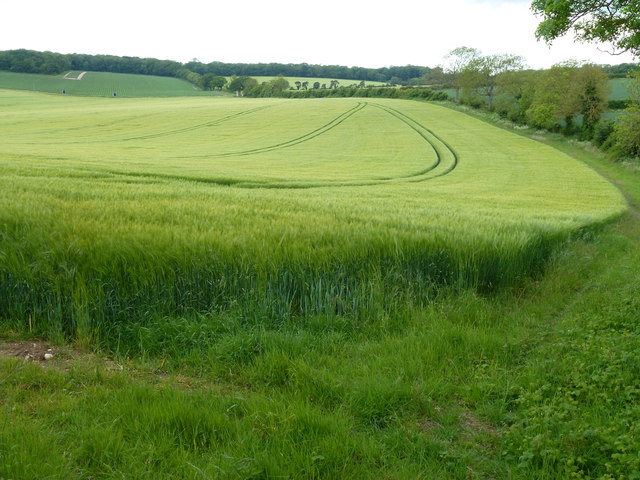
Butcher's Covert is a picturesque woodland located in Norfolk, England. Spanning approximately 50 acres, it is a haven of natural beauty and tranquility. The woodland is situated just south of the village of Wood Norton, near the town of Fakenham.
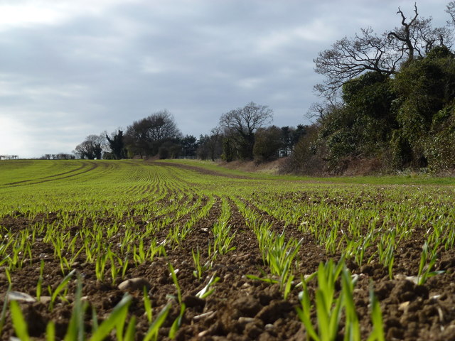
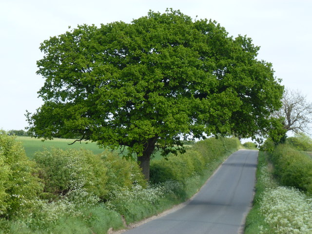
The primary feature of Butcher's Covert is its dense canopy of towering trees, which consists mainly of oak, beech, and birch. These majestic trees provide ample shade and create a cool, refreshing atmosphere during the hot summer months. The forest floor is covered in a lush carpet of ferns, wildflowers, and moss, adding to the enchanting ambiance.
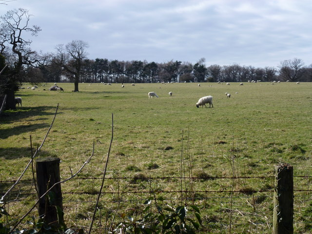
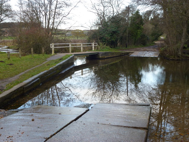
The woodland is home to a diverse array of wildlife, including various species of birds, mammals, and insects. Bird enthusiasts can spot woodpeckers, owls, and various songbirds among the treetops, while nature lovers may encounter deer, foxes, and rabbits on the forest floor. The peacefulness of Butcher's Covert is further enhanced by a babbling brook that meanders through the woods, creating a soothing soundtrack of flowing water.
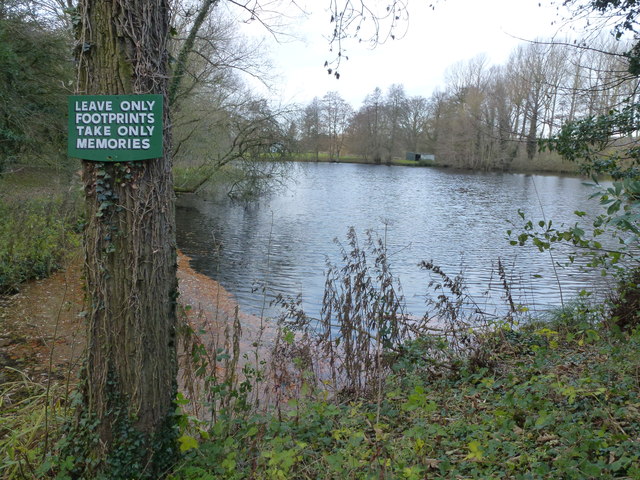
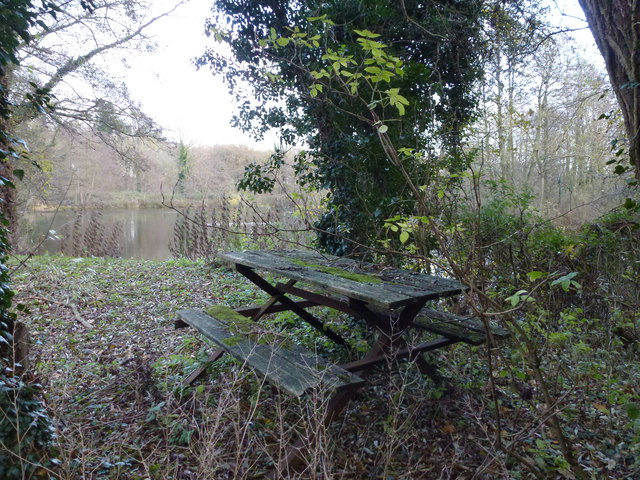
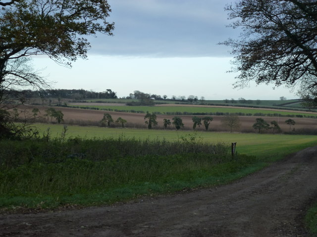
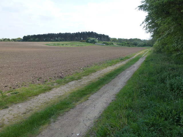
The woodland offers several walking trails, allowing visitors to immerse themselves in its natural splendor. These paths wind through the trees, leading to secluded clearings and viewpoints that offer breathtaking vistas of the surrounding countryside. There are also picnic areas dotted throughout the woodland, providing the perfect spot to relax and enjoy a meal amidst nature.
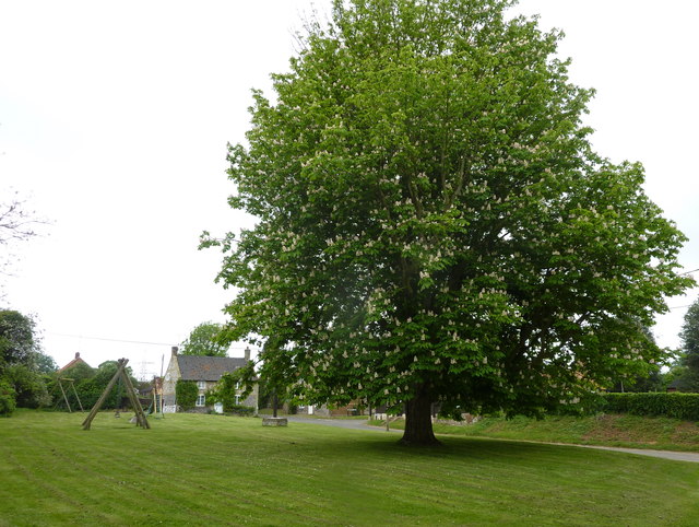
Butcher's Covert is a cherished gem in Norfolk, attracting locals and tourists alike with its timeless beauty and abundant wildlife. It offers a welcome respite from the hustle and bustle of everyday life, providing a peaceful sanctuary for those seeking solace in nature.
If you have any feedback on the listing, please let us know in the comments section below.
Butcher's Covert Images
Images are sourced within 2km of 52.710493/0.65215779 or Grid Reference TF7915. Thanks to Geograph Open Source API. All images are credited.

Butcher's Covert is located at Grid Ref: TF7915 (Lat: 52.710493, Lng: 0.65215779)
Administrative County: Norfolk
District: King's Lynn and West Norfolk
Police Authority: Norfolk
What 3 Words
///level.lyrics.vegetable. Near Narborough, Norfolk
Nearby Locations
Related Wikis

Castle Acre Common
Castle Acre Common is a 17.8-hectare (44-acre) biological Site of Special Scientific Interest east of King's Lynn in Norfolk.This unimproved grazing marsh...

West Acre Priory
West Acre Priory of St. Mary and All Saints was a medieval monastic house at West Acre in the King's Lynn and West Norfolk district of Norfolk, England...

West Acre
West Acre is a village and civil parish in the King's Lynn and West Norfolk district of the county of Norfolk, England. It covers an area of 14.49 km2...

Peddars Way
The Peddars Way is a long distance footpath that passes through Suffolk and Norfolk, England. == Route == The Peddars Way is 46 miles (74 km) long and...

South Acre
South Acre is a village and civil parish in the English county of Norfolk. The village has almost disappeared, but the remnants are located about 1 km...

Castle Acre Priory
Castle Acre Priory was a Cluniac priory in the village of Castle Acre, Norfolk, England, dedicated to St Mary, St Peter, and St Paul. It is thought to...

Castle Acre
Castle Acre is a village and civil parish in the English county of Norfolk. The village is situated on the River Nar some 4 miles (6.4 km) north of the...
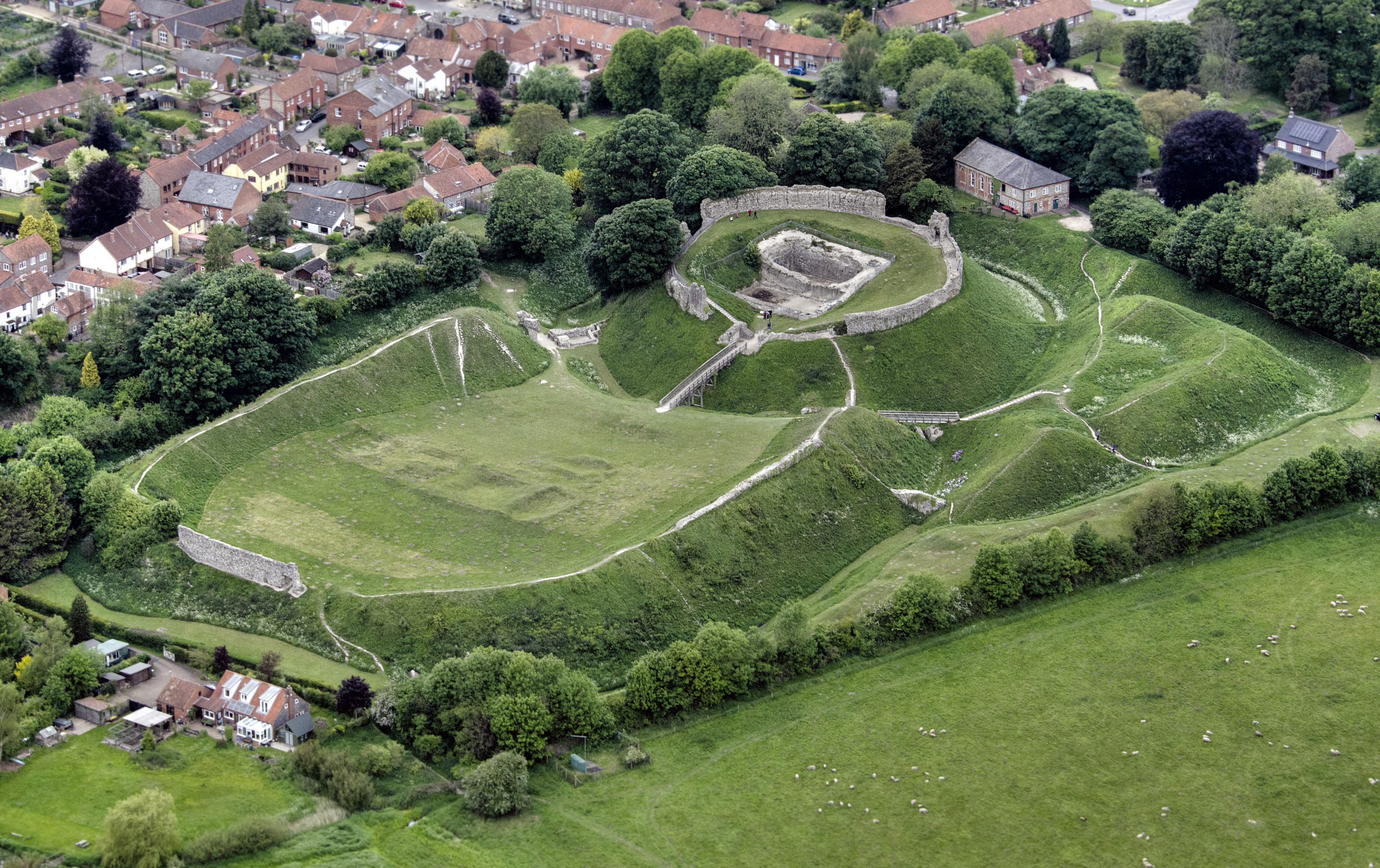
Castle Acre Castle and town walls
Castle Acre Castle and town walls are a set of ruined medieval defences built in the village of Castle Acre, Norfolk. The castle was built soon after the...
Nearby Amenities
Located within 500m of 52.710493,0.65215779Have you been to Butcher's Covert?
Leave your review of Butcher's Covert below (or comments, questions and feedback).