Bromagefield Wood

Wood, Forest in Suffolk West Suffolk

England

Bromagefield Wood

Broomagefield Wood Walking a footpath near Rede.
Broomagefield Wood Credit: steven ruffles

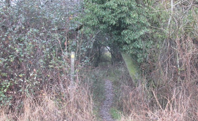
Bromagefield Wood is a picturesque woodland located in Suffolk, England. Situated just outside the village of Bromagefield, it covers an area of approximately 100 acres and is known for its diverse range of flora and fauna. The wood is easily accessible, with well-maintained paths that wind their way through the trees, offering visitors the opportunity to explore and enjoy the natural beauty of the area.

The wood is primarily made up of native species such as oak, beech, and birch, creating a rich and varied landscape. The dense canopy provides shelter and nesting sites for a wide range of bird species, including woodpeckers, finches, and owls. In addition, the wood is home to a variety of mammals, including deer, foxes, and badgers, which can often be spotted by keen-eyed visitors.

Bromagefield Wood is also renowned for its stunning displays of spring flowers, with carpets of bluebells and wild garlic covering the forest floor during the months of April and May. This burst of color attracts many nature enthusiasts and photographers who come to capture the beauty of the woodland.

The wood is managed by a local conservation trust, which ensures that it is well-preserved and protected for future generations to enjoy. As a result, there is an abundance of wildlife and a peaceful atmosphere that makes it a perfect place for walking, picnicking, or simply escaping the hustle and bustle of everyday life.

Overall, Bromagefield Wood is a hidden gem in the Suffolk countryside, offering visitors a tranquil and enchanting experience surrounded by nature's wonders.

If you have any feedback on the listing, please let us know in the comments section below.

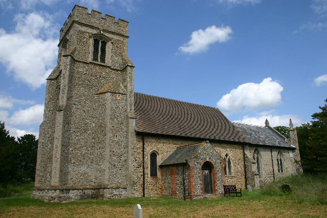
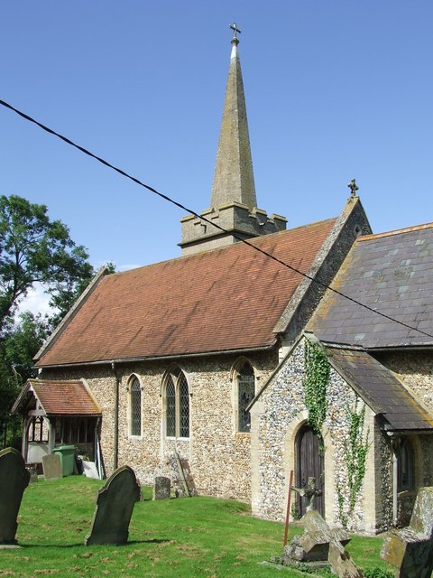
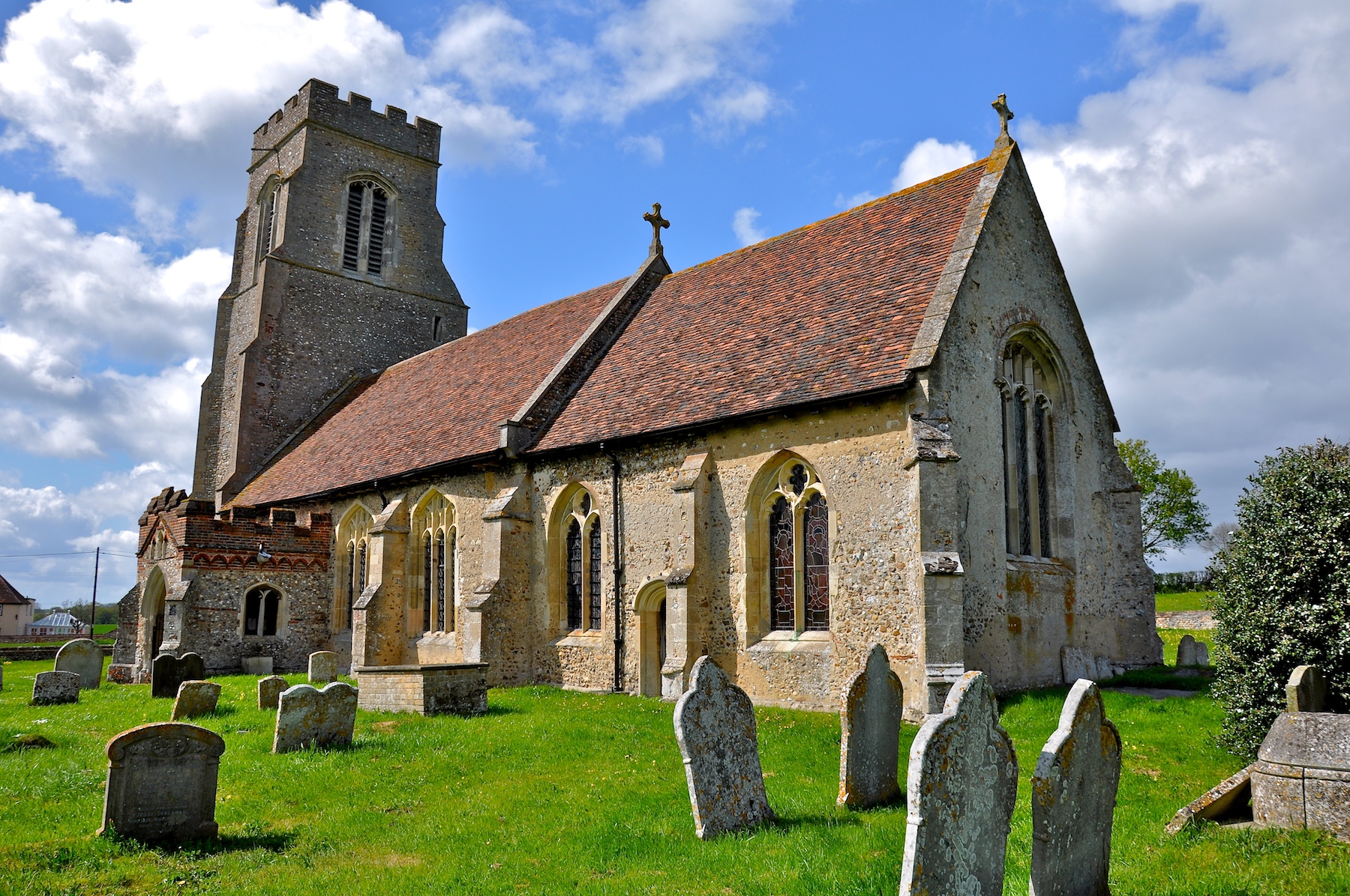
Bromagefield Wood Images

Images are sourced within 2km of 52.168943/0.61938115 or Grid Reference TL7955. Thanks to Geograph Open Source API. All images are credited.

Broomagefield Wood Walking a footpath near Rede.
Broomagefield Wood
Walking a footpath near Rede.
Footpath through hedge near Rede Hole Taken on a walk to Suffolk's highest ground
Footpath through hedge near Rede Hole
Taken on a walk to Suffolk's highest ground
All Saints' Church, Rede Colourful cottages beside the church.
All Saints' Church, Rede
Colourful cottages beside the church.
Chedburgh War Memorial The memorial is housed in the 'church' for which there is no keyholder. This image was taken through a (thankfully clean) south window.
The memorial bears 19 names of those lost in WW1. No losses are recorded for WW2.
Chedburgh War Memorial
The memorial is housed in the 'church' for which there is no keyholder. This image was taken through a (thankfully clean) south window. The memorial bears 19 names of those lost in WW1. No losses are recorded for WW2.
Field of rye grass, Chedburgh
Path beside ponds Two of the six ponds - artificially created of course - on the slope descending towards Cordell Hall.
Path beside ponds
Two of the six ponds - artificially created of course - on the slope descending towards Cordell Hall.
Road leading to mast The location at the camera position is reckoned to be the Suffolk county top.
Road leading to mast
The location at the camera position is reckoned to be the Suffolk county top.
Walkers along bridleway between fields The pair are heading south-west between fields close to Gatesbury's Farm.
Walkers along bridleway between fields
The pair are heading south-west between fields close to Gatesbury's Farm.
Bare earth south of Cresslands Farm There is actually an emerging crop coming through the gently sloping field. It's seen from a restricted byway which, some way to the north, past the farm, seems to lose that status, becoming simply a bridleway.
Bare earth south of Cresslands Farm
There is actually an emerging crop coming through the gently sloping field. It's seen from a restricted byway which, some way to the north, past the farm, seems to lose that status, becoming simply a bridleway.
Hawkedon House Hawkedon House is a large, brick-built, detached property close to the village of Hawkedon.
Hawkedon House
Hawkedon House is a large, brick-built, detached property close to the village of Hawkedon.
A143 towards Bury St Edmunds In the parish of Depden.
A143 towards Bury St Edmunds
In the parish of Depden.
A143 towards Bury St Edmunds In the parish of Depden.
A143 towards Bury St Edmunds
In the parish of Depden.
A143 towards Bury St Edmunds Passing through Depden, although  not much to see on the main road.
A143 towards Bury St Edmunds
Passing through Depden, although not much to see on the main road.
A143 west of Chedburgh Taken from the end of The Street at its junction with the A143.
A143 west of Chedburgh
Taken from the end of The Street at its junction with the A143.
Depden WW1 War Memorial The memorial bears nine names of men lost in the Great War.
Depden WW1 War Memorial
The memorial bears nine names of men lost in the Great War.
Depden village sign Depden is a haven for wildlife if the sign is anything to go by. The church is tucked away in the background and never seen by a passer-by due to its remoteness. The sign features a rather oversize fox who looks about to devour a horse and cart. A cock and hen pheasant survey the scene. The brown hare in the centre is looking butterflies in the blackberry flowers. Nearby a badger peers out of its sett at a hedgehog tucked away in the corner. Flanking the name is Depden windmill which used to stand on Depden Green many years ago and a notable former resident of Depden, Anthony Sparrow (1612-1685) who was Bishop of Exeter and later Bishop of Norwich.
Since this image was taken the painting has been re-modelled and includes another badger, a wren and a robin but has lost the hedgehog. <a title="https://www.geograph.org.uk/photo/4192983" href="https://www.geograph.org.uk/photo/4192983">Link</a>
Incidentally Depden is the highest point in Suffolk, at 128m above sea level. It’s all downhill from here! <a title="https://www.geograph.org.uk/photo/4291801" href="https://www.geograph.org.uk/photo/4291801">Link</a>
Depden village sign
Depden is a haven for wildlife if the sign is anything to go by. The church is tucked away in the background and never seen by a passer-by due to its remoteness. The sign features a rather oversize fox who looks about to devour a horse and cart. A cock and hen pheasant survey the scene. The brown hare in the centre is looking butterflies in the blackberry flowers. Nearby a badger peers out of its sett at a hedgehog tucked away in the corner. Flanking the name is Depden windmill which used to stand on Depden Green many years ago and a notable former resident of Depden, Anthony Sparrow (1612-1685) who was Bishop of Exeter and later Bishop of Norwich. Since this image was taken the painting has been re-modelled and includes another badger, a wren and a robin but has lost the hedgehog. Link Incidentally Depden is the highest point in Suffolk, at 128m above sea level. It’s all downhill from here! Link
Entrance to Chedburgh village Chedburgh is a small village five miles south-west of Bury St Edmunds. A former Bomber Command airfield to the south of the village has been turned into industrial units.
Entrance to Chedburgh village
Chedburgh is a small village five miles south-west of Bury St Edmunds. A former Bomber Command airfield to the south of the village has been turned into industrial units.
Chedburgh Church All Saints' church, next to Chedburgh Hall, but a mile or so away from the main village, as is the case in many Suffolk villages.
Chedburgh Church
All Saints' church, next to Chedburgh Hall, but a mile or so away from the main village, as is the case in many Suffolk villages.
Show me another place!

Bromagefield Wood is located at Grid Ref: TL7955 (Lat: 52.168943, Lng: 0.61938115)

Administrative County: Suffolk

District: West Suffolk

Police Authority: Suffolk

What 3 Words

///haggis.aliens.clashes. Near Glemsford, Suffolk

Related Wikis

Newmarket Ridge

The Newmarket Ridge or East Anglian Ridge is a ridge starting north-west of Hertford, Hertfordshire near the Chiltern Hills and ending near Sudbury, Suffolk...

Great Wood Hill

At 128 metres (420 ft), Great Wood Hill, near Chedburgh, is the highest point in the English county of Suffolk. It is the highest part of the Newmarket...

RAF Chedburgh

Royal Air Force Chedburgh or more simply RAF Chedburgh is a former Royal Air Force satellite station located near Bury St Edmunds, Suffolk, UK. The Bury...

Rede, Suffolk

Rede is a village and civil parish in the West Suffolk district of Suffolk in eastern England. Its location is situated South East of Chedburgh. In 1887...

Depden

Depden is a village and civil parish in the West Suffolk district of Suffolk in eastern England. Located on the A143 around five miles south-west of Bury...

Chedburgh

Chedburgh is a village and civil parish in the West Suffolk district of Suffolk in eastern England. Located on the A143 around five miles south-west of...

Hawkedon

Hawkedon is a village and civil parish in the West Suffolk district of Suffolk in eastern England. Located around 7 miles (11 km) south-south-west of Bury...

Gifford's Hall, Wickhambrook

Gifford's Hall is a manor house in the civil parish of Wickhambrook, in the West Suffolk district, in the county of Suffolk, England. It is Grade I listed...

Have you been to Bromagefield Wood?

Leave your review of Bromagefield Wood below (or comments, questions and feedback).