Letch Moor
Wood, Forest in Suffolk West Suffolk
England
Letch Moor
Letch Moor is a picturesque woodland area located in the county of Suffolk, England. Situated in the eastern part of the county, this enchanting forest covers a sprawling expanse of land, providing a serene and tranquil retreat for nature enthusiasts and outdoor adventurers alike.
The moor is characterized by its dense and ancient woodland, teeming with a diverse array of flora and fauna. Towering oak, ash, and beech trees dominate the landscape, creating a lush canopy that filters the sunlight and casts a magical ambiance throughout the area. The forest floor is adorned with an assortment of wildflowers, ferns, and mosses, adding vibrant bursts of color to the surroundings.
Letch Moor is also home to a variety of wildlife species. Birdwatchers will be delighted to spot native species such as the great spotted woodpecker, tawny owl, and goldcrest among the tree branches. Red deer, foxes, and badgers can often be glimpsed darting through the undergrowth, while the occasional sighting of a roe deer grazing by the forest edge adds to the natural splendor of the area.
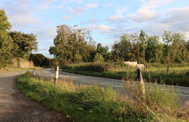
For those seeking outdoor activities, Letch Moor offers a network of well-maintained footpaths and trails, perfect for hiking, biking, or leisurely strolls. The forest also features several picnic areas, allowing visitors to relax and enjoy the serene atmosphere while indulging in a packed lunch.
Letch Moor, Suffolk is a true haven of tranquility and natural beauty, providing a welcome escape from the hustle and bustle of everyday life. Whether exploring the woodland trails or simply immersing oneself in the peaceful surroundings, this enchanting forest is a must-visit destination for nature lovers and adventure seekers.
If you have any feedback on the listing, please let us know in the comments section below.
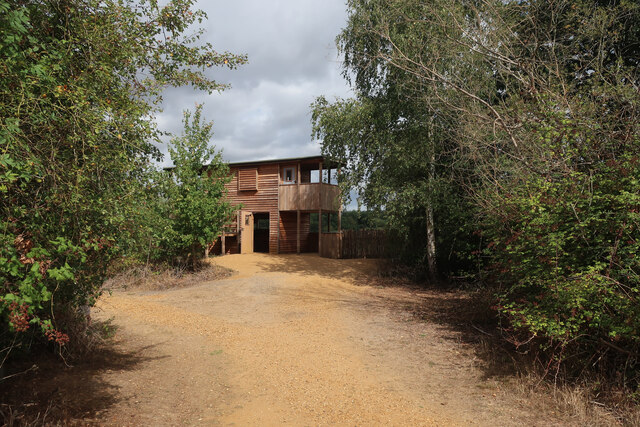
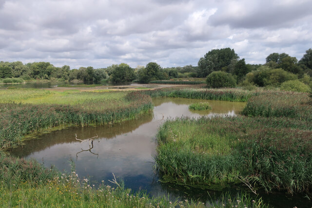
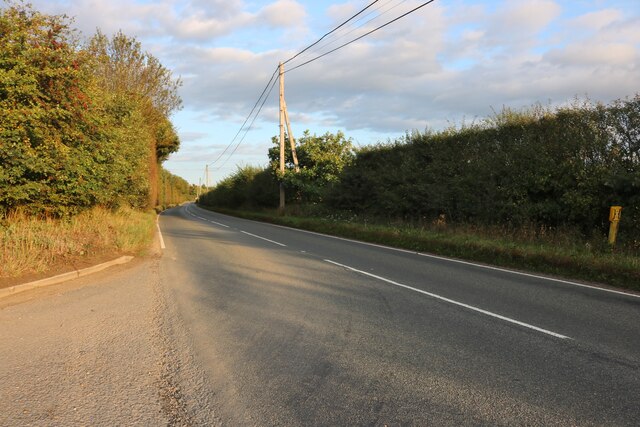
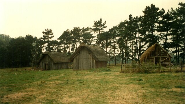
Letch Moor Images
Images are sourced within 2km of 52.311425/0.624531 or Grid Reference TL7971. Thanks to Geograph Open Source API. All images are credited.

Letch Moor is located at Grid Ref: TL7971 (Lat: 52.311425, Lng: 0.624531)
Administrative County: Suffolk
District: West Suffolk
Police Authority: Suffolk
What 3 Words
///pressing.songs.minimums. Near Mildenhall, Suffolk
Nearby Locations
Related Wikis

West Stow Heath
West Stow Heath is a 44.3-hectare (109-acre) biological Site of Special Scientific Interest west of West Stow in Suffolk. It is part of the Breckland Special...

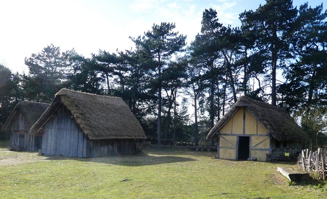
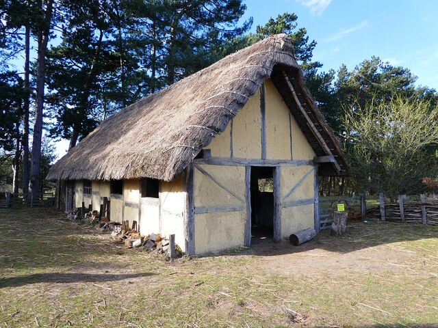
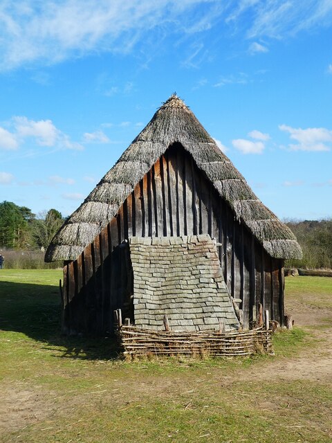
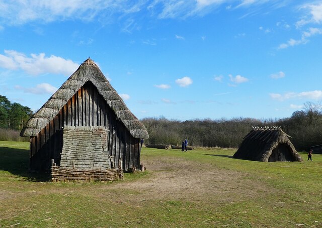
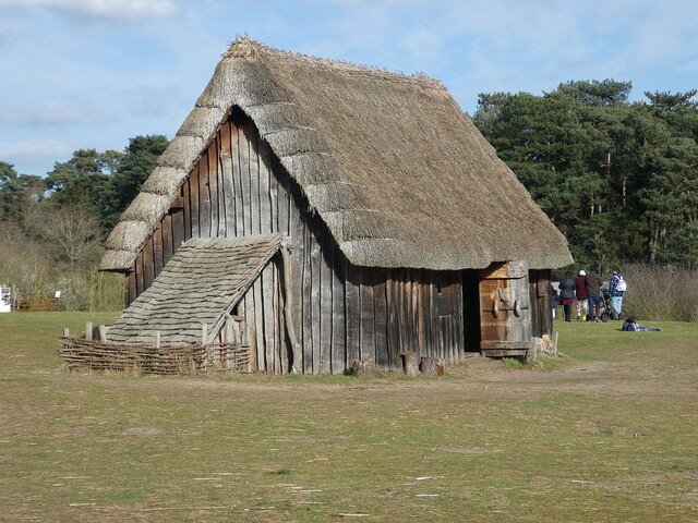
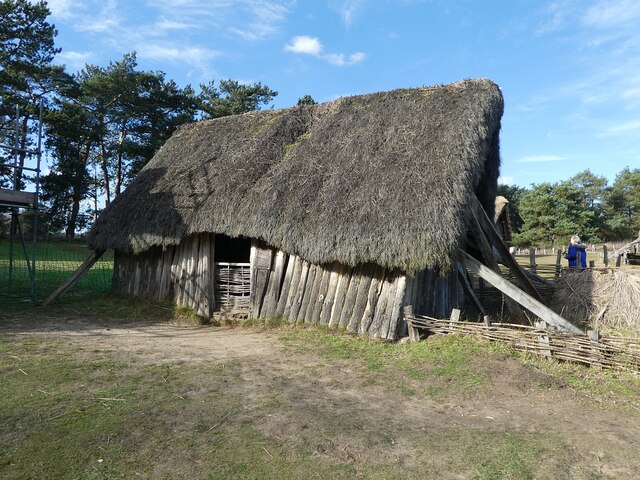
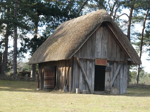
West Stow Anglo-Saxon Village
West Stow Anglo-Saxon Village is an archaeological site and an open-air museum located near to West Stow in Suffolk, eastern England. Evidence for intermittent...

Lackford
Lackford is a village and civil parish in the West Suffolk district of Suffolk in eastern England. Located around four miles north-west of Bury St Edmunds...

Lackford Lakes
Lackford Lakes is a 105.8-hectare (261-acre) biological Site of Special Scientific Interest (SSSI) north and east of Lackford in Suffolk. The SSSI is part...

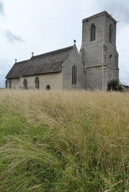
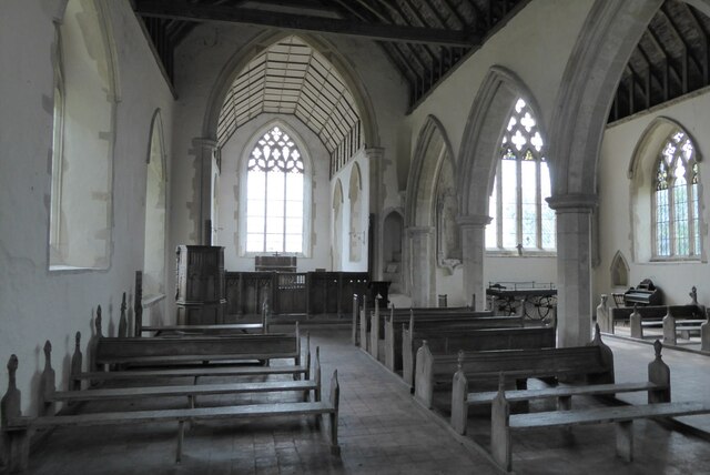
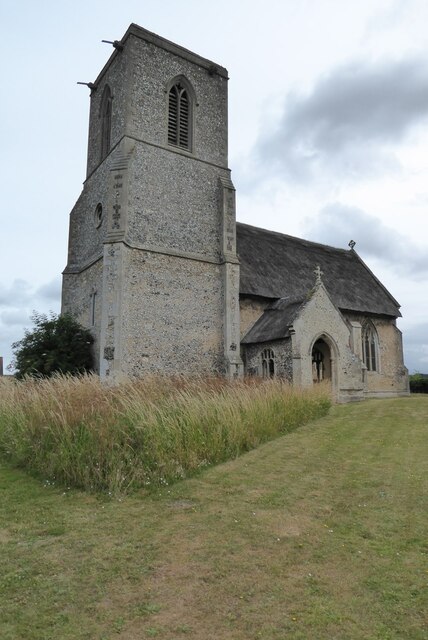
All Saints' Church, Icklingham
All Saints' Church is a redundant Anglican church in the village of Icklingham, Suffolk, England. It is recorded in the National Heritage List for England...

Flempton
Flempton is a village and civil parish in the West Suffolk district of Suffolk, England. It is on the A1101 road 5 miles NW from Bury St Edmunds. Flempton...
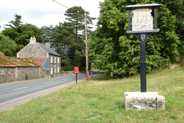
Icklingham
Icklingham is a village and civil parish in the West Suffolk district of Suffolk in eastern England. It is located about 7 miles (11 km) north-west of...

West Stow Hall
West Stow Hall is a Tudor manor house in West Stow, Suffolk, England, near Bury St Edmunds. It was begun in around 1520 for Sir John Croftes, Master of...
Nearby Amenities
Located within 500m of 52.311425,0.624531Have you been to Letch Moor?
Leave your review of Letch Moor below (or comments, questions and feedback).