Forty Acre Belt

Wood, Forest in Norfolk King's Lynn and West Norfolk

England

Forty Acre Belt

Permissive footpath over Massingham Heath, Norfolk
Permissive footpath over Massingham Heath, Norfolk Credit: Richard Humphrey

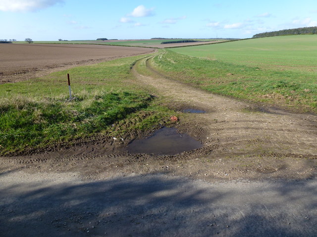
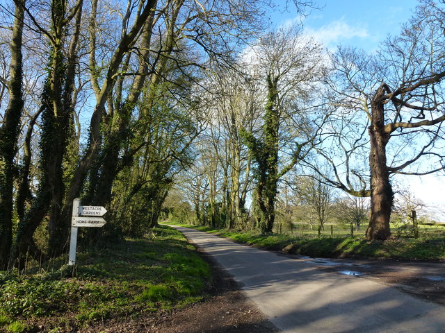
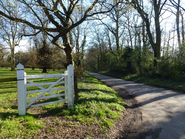
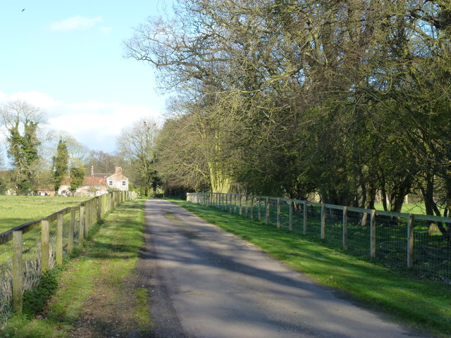
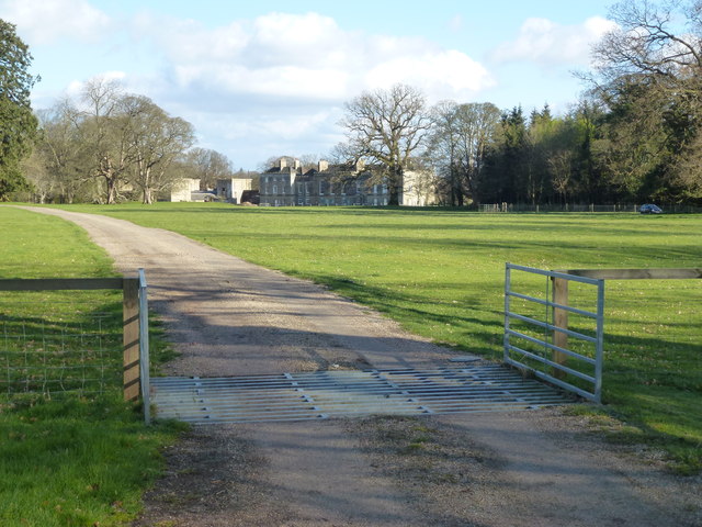
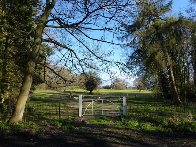
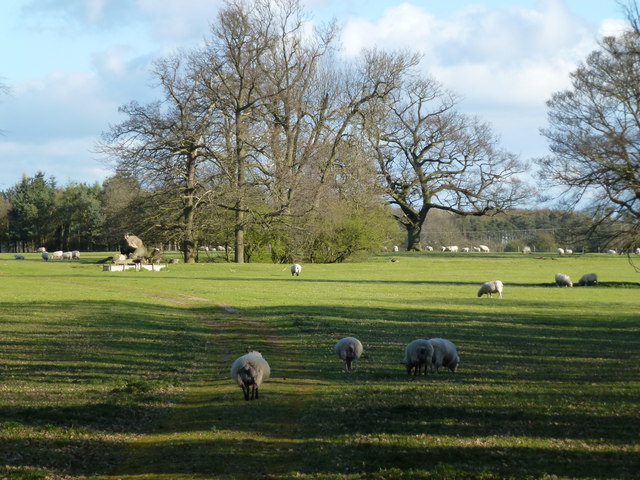
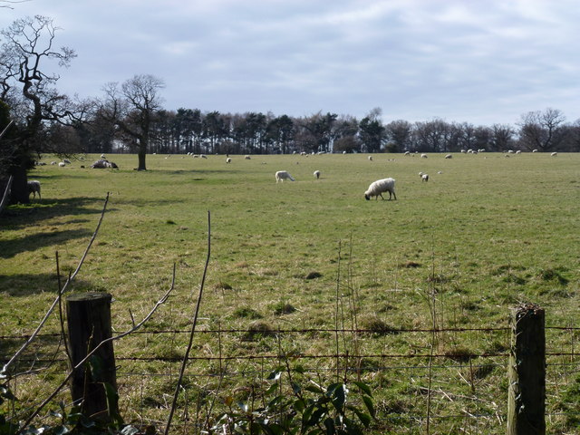
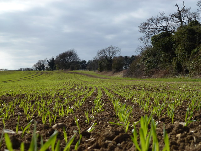
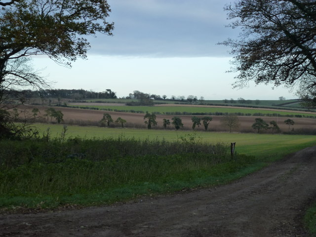
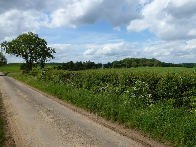
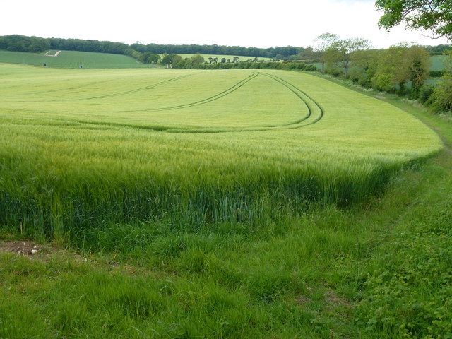
Forty Acre Belt is a woodland area located in Norfolk, England. Spanning approximately forty acres, the belt is known for its rich biodiversity and natural beauty. The woodland is primarily composed of various types of trees, including oak, beech, and birch, which create a dense and lush forest environment. The area is a designated Site of Special Scientific Interest (SSSI) due to its importance for wildlife conservation.

The Forty Acre Belt is home to a wide range of plant and animal species, making it a haven for nature enthusiasts and wildlife photographers. The forest floor is carpeted with a diverse array of wildflowers, adding bursts of color to the green landscape. Visitors may spot bluebells, primroses, and wood anemones during the spring months.

The woodland provides a habitat for numerous bird species, such as woodpeckers, owls, and various songbirds. It is also home to mammals like deer, foxes, and badgers. These animals can often be observed foraging or seeking shelter within the dense undergrowth.

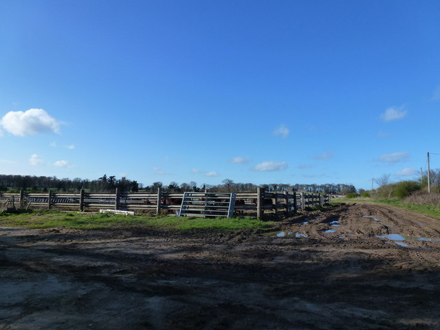
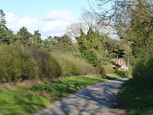
Forty Acre Belt offers a peaceful and tranquil environment for visitors to enjoy nature and engage in activities such as walking, birdwatching, and photography. The woodland is intersected by well-maintained paths, providing easy access to explore its diverse ecosystems. The area is particularly popular among local residents and tourists who appreciate the beauty and serenity of Norfolk's natural landscapes.

If you have any feedback on the listing, please let us know in the comments section below.

Forty Acre Belt Images

Images are sourced within 2km of 52.731564/0.64844506 or Grid Reference TF7818. Thanks to Geograph Open Source API. All images are credited.

Permissive footpath over Massingham Heath, Norfolk
Sign to West Acre Gardens and Home Farm Looking north along Tumbley Hill Road NW of Castle Acre
Sign to West Acre Gardens and Home Farm
Looking north along Tumbley Hill Road NW of Castle Acre
Tumbley Hill Road near West Acre Gardens North west of Castle Acre
Tumbley Hill Road near West Acre Gardens
North west of Castle Acre
Driveway to Home Farm near West Acre, Norfolk
The angel of the Norfolk This house was purchased by the sculptor Antony Gormley, creator of the Angel of the North, in 2010. <span class="nowrap"><a title="http://www.dailymail.co.uk/news/article-1323235/Damien-Hirst-Antony-Gormley-Brit-Art-pack-live-VERY-grand-homes.html" rel="nofollow ugc noopener" href="http://www.dailymail.co.uk/news/article-1323235/Damien-Hirst-Antony-Gormley-Brit-Art-pack-live-VERY-grand-homes.html">Link</a><img style="margin-left:2px;" alt="External link" title="External link - shift click to open in new window" src="https://s1.geograph.org.uk/img/external.png" width="10" height="10"/></span>
Driveway to High House and West Acre Gardens north west of Castle Acre
(this driveway is not shown on current OS maps or Google Earth).
The angel of the Norfolk
This house was purchased by the sculptor Antony Gormley, creator of the Angel of the North, in 2010. LinkExternal link Driveway to High House and West Acre Gardens north west of Castle Acre (this driveway is not shown on current OS maps or Google Earth).
Cattle yard near Soigne Farm, West Acre, Norfolk
Distant cottages at the end of the lane Looking east along an unnamed lane leading from Soigne Farm, West Acre, Norfolk
Distant cottages at the end of the lane
Looking east along an unnamed lane leading from Soigne Farm, West Acre, Norfolk
Gateway to parkland around High House, West Acre
Sheep in the grounds of High House, West Acre
Lone tree on Massingham Heath, Norfolk North of Long Plantation
Lone tree on Massingham Heath, Norfolk
North of Long Plantation
Grazing sheep near High House, West Acre Pasture on the southern part of the extensive parkland surrounding High House, see <span class="nowrap"><a title="http://www.britishlistedbuildings.co.uk/en-221920-high-house-west-acre-norfolk" rel="nofollow ugc noopener" href="http://www.britishlistedbuildings.co.uk/en-221920-high-house-west-acre-norfolk">Link</a><img style="margin-left:2px;" alt="External link" title="External link - shift click to open in new window" src="https://s1.geograph.org.uk/img/external.png" width="10" height="10"/></span>
Grazing sheep near High House, West Acre
Pasture on the southern part of the extensive parkland surrounding High House, see LinkExternal link
A rabbit's eye view of Norfolk farmland Emerging cereal crop alongside the parkland of High House, West Acre
A rabbit's eye view of Norfolk farmland
Emerging cereal crop alongside the parkland of High House, West Acre
Tree trunk blocking a field entrance The trees and hedge in the distance are at the side of the Peddars Way south of Great Massingham
Tree trunk blocking a field entrance
The trees and hedge in the distance are at the side of the Peddars Way south of Great Massingham
Track down Tumbley Hill near West Acre
Road to Soigne Farm A public footpath runs along this private road to the east of Gayton Thorpe, Norfolk
Road to Soigne Farm
A public footpath runs along this private road to the east of Gayton Thorpe, Norfolk
Lane to Soigne Farm, Gayton Thorpe Half Moon Plantation is on the horizon
Lane to Soigne Farm, Gayton Thorpe
Half Moon Plantation is on the horizon
Logs in Long Plantation Alongside the private drive to Soigne Farm, near Gayton Thorpe - each log is colour coded and individually numbered
Logs in Long Plantation
Alongside the private drive to Soigne Farm, near Gayton Thorpe - each log is colour coded and individually numbered
Shades of green in Norfolk A field of barley between West Acre and West Acre Gardens at  High House. There is a crop of wheat to the right of the hedge see  <a title="https://www.geograph.org.uk/photo/3992147" href="https://www.geograph.org.uk/photo/3992147">Link</a>
Shades of green in Norfolk
A field of barley between West Acre and West Acre Gardens at High House. There is a crop of wheat to the right of the hedge see Link
Show me another place!

Forty Acre Belt is located at Grid Ref: TF7818 (Lat: 52.731564, Lng: 0.64844506)

Administrative County: Norfolk

District: King's Lynn and West Norfolk

Police Authority: Norfolk

What 3 Words

///verge.tipping.unite. Near Narborough, Norfolk

Related Wikis

Peddars Way

The Peddars Way is a long distance footpath that passes through Suffolk and Norfolk, England. == Route == The Peddars Way is 46 miles (74 km) long and...

West Acre

West Acre is a village and civil parish in the King's Lynn and West Norfolk district of the county of Norfolk, England. It covers an area of 14.49 km2...

West Acre Priory

West Acre Priory of St. Mary and All Saints was a medieval monastic house at West Acre in the King's Lynn and West Norfolk district of Norfolk, England...

Castle Acre Common

Castle Acre Common is a 17.8-hectare (44-acre) biological Site of Special Scientific Interest east of King's Lynn in Norfolk.This unimproved grazing marsh...

Castle Acre

Castle Acre is a village and civil parish in the English county of Norfolk. The village is situated on the River Nar some 4 miles (6.4 km) north of the...

Castle Acre Priory

Castle Acre Priory was a Cluniac priory in the village of Castle Acre, Norfolk, England, dedicated to St Mary, St Peter, and St Paul. It is thought to...

South Acre

South Acre is a village and civil parish in the English county of Norfolk. The village has almost disappeared, but the remnants are located about 1 km...

Castle Acre Castle and town walls

Castle Acre Castle and town walls are a set of ruined medieval defences built in the village of Castle Acre, Norfolk. The castle was built soon after the...

Nearby Amenities

Located within 500m of 52.731564,0.64844506
Bicycle Parking
Access: customers
Bicycle Parking: stands
Capacity: 12
Check Date: 2023-04-16
Covered: no
Fee: no
Operator: West Acre Gardens
Operator Type: business
Lat/Long: 52.7316321/0.6512328
Cafe
Apple Cafe
Cuisine: coffee_shop;british;tea;sandwich;cake;soup
Internet Access: wlan
Internet Access Fee: customers
Outdoor Seating: yes
Website: https://www.kiricookscatering.com/apple-cafe
Lat/Long: 52.7310426/0.651146
The data included in this document is from www.openstreetmap.org. The data is made available under ODbL.

Have you been to Forty Acre Belt?

Leave your review of Forty Acre Belt below (or comments, questions and feedback).