Blakeneyhill Plantation

Wood, Forest in Norfolk King's Lynn and West Norfolk

England

Blakeneyhill Plantation

The West Acre Theatre "River Studios" held their art exhibition here in May 2011.
The West Acre Theatre Credit: Elliott Simpson

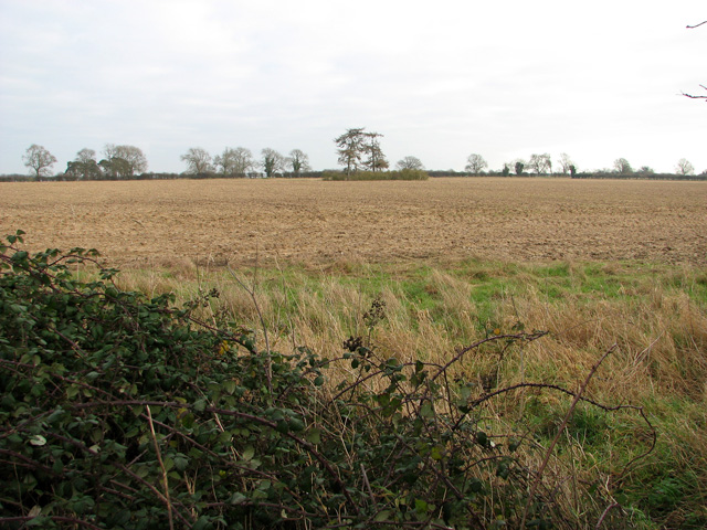
Blakeneyhill Plantation is a scenic woodland located in Norfolk, England. Spanning across a vast area, it is a popular destination for nature lovers and outdoor enthusiasts alike. The plantation is situated in close proximity to the village of Blakeney, renowned for its picturesque coastal views, and provides a tranquil escape from the bustling city life.

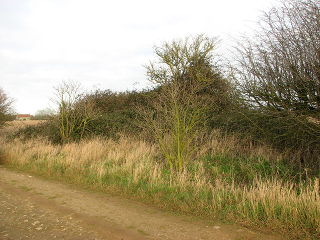
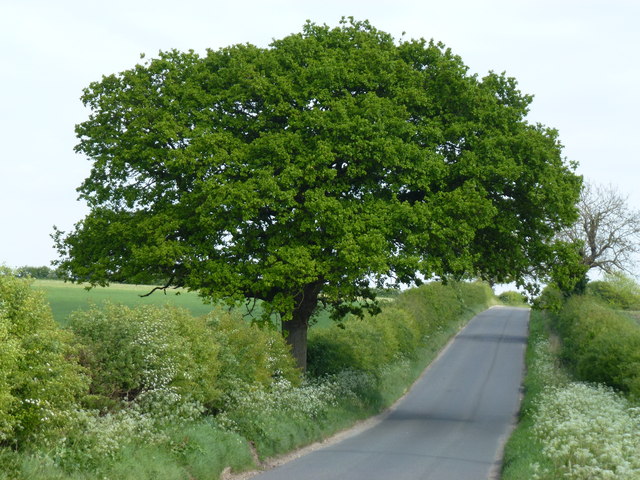
The woodland of Blakeneyhill Plantation is characterized by a diverse range of trees and flora, creating a rich and vibrant ecosystem. The dominant species found here include oak, beech, and birch trees, which provide a dense canopy and shade during the summer months. The forest floor is covered with an array of wildflowers, creating a colorful carpet that adds to the enchanting atmosphere of the plantation.

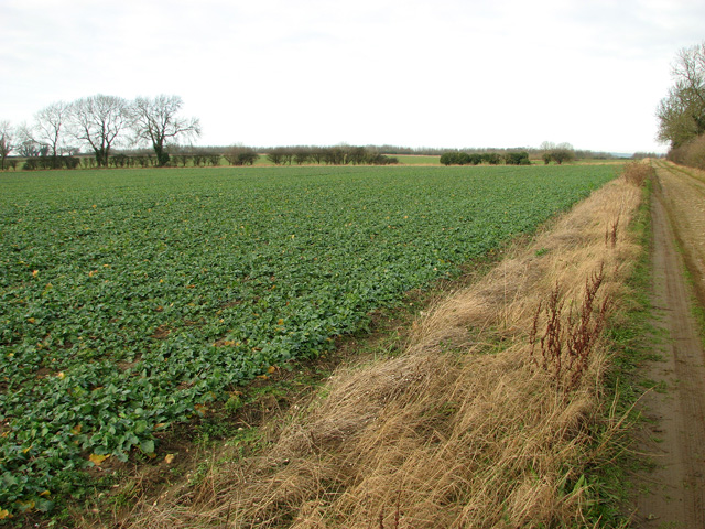
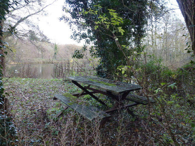
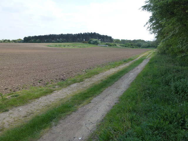
The plantation offers a variety of walking trails and footpaths that wind through the woods, allowing visitors to explore and immerse themselves in the natural beauty of the area. These trails are well-maintained and suitable for all levels of fitness, making it accessible to individuals of all ages. Additionally, there are designated picnic areas and benches scattered throughout the plantation, providing a perfect spot to rest and admire the surroundings.

Blakeneyhill Plantation is also home to a diverse range of wildlife, including deer, foxes, and a variety of bird species. Birdwatchers will be delighted by the opportunity to spot rare and migratory birds, making it a popular destination for ornithologists.

Overall, Blakeneyhill Plantation offers a serene and captivating experience for visitors, with its lush woodlands, picturesque trails, and abundant wildlife. It is a haven for nature enthusiasts and a true gem in the Norfolk countryside.

If you have any feedback on the listing, please let us know in the comments section below.

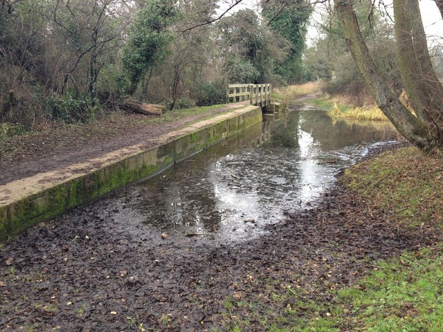
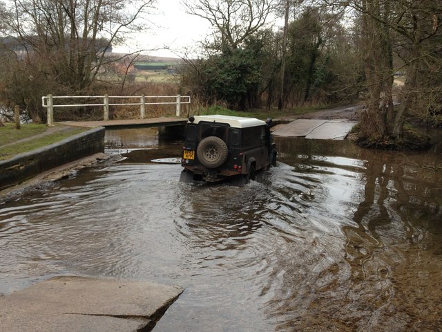
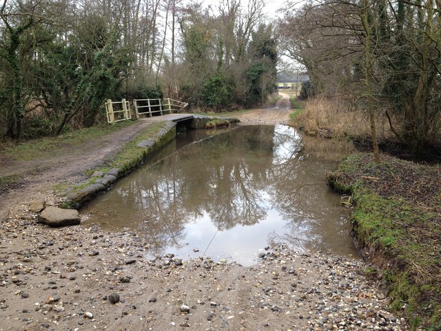
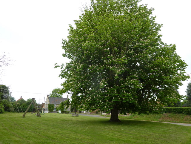
Blakeneyhill Plantation Images

Images are sourced within 2km of 52.696097/0.64529037 or Grid Reference TF7814. Thanks to Geograph Open Source API. All images are credited.

The West Acre Theatre "River Studios" held their art exhibition here in May 2011.
The West Acre Theatre
"River Studios" held their art exhibition here in May 2011.
Bramble patch beside farm track, South Acre It hides a WW2 decoy airfield bunker, one of three to divert enemy fire from RAF Marham. Its official designation was 27b (South Acre).
Bramble patch beside farm track, South Acre
It hides a WW2 decoy airfield bunker, one of three to divert enemy fire from RAF Marham. Its official designation was 27b (South Acre).
Barnbrick pit, South Acre The disused pit is marked by the copse growing in it.
Barnbrick pit, South Acre
The disused pit is marked by the copse growing in it.
Oilseed rape crop, South Acre
Ford on the Nar Valley Way, West Acre This ford is found on the edge of West Acre on the River Nar and the footpath forms part of the Nar Valley Way.
Ford on the Nar Valley Way, West Acre
This ford is found on the edge of West Acre on the River Nar and the footpath forms part of the Nar Valley Way.
Ford on the Nar Valley Way This ford is found on the Nar Valley Way between West Acre and Castle Acre. There is a second ford a few yards north over a drainage ditch.
<span class="nowrap"><a title="http://www.youtube.com/watch?v=dgi2pzmdFBE&feature=youtu.be" rel="nofollow ugc noopener" href="http://www.youtube.com/watch?v=dgi2pzmdFBE&feature=youtu.be">Link</a><img style="margin-left:2px;" alt="External link" title="External link - shift click to open in new window" src="https://s1.geograph.org.uk/img/external.png" width="10" height="10"/></span>
Ford on the Nar Valley Way
This ford is found on the Nar Valley Way between West Acre and Castle Acre. There is a second ford a few yards north over a drainage ditch. LinkExternal link
Ford on road north from South Acre This ford is over a drainage ditch and lies just north of the ford on the River Nar on the road north from South Acre.
Ford on road north from South Acre
This ford is over a drainage ditch and lies just north of the ford on the River Nar on the road north from South Acre.
Tree next to Church Green at West Acre A fine example of Aesculus hippocastanum or horse chestnut. The children's playground is in the background and the church is to the east of the tree.
Tree next to Church Green at West Acre
A fine example of Aesculus hippocastanum or horse chestnut. The children's playground is in the background and the church is to the east of the tree.
All Saints church,West Acre The 14th century priory gatehouse is to the left of the photograph.
All Saints church,West Acre
The 14th century priory gatehouse is to the left of the photograph.
Low Cottages near West Acre
Priory remains in The Nar Valley Pasture and parkland south of West Acre
Priory remains in The Nar Valley
Pasture and parkland south of West Acre
Footbridge and ford crossing The River Nar near West Acre
LEAVE ONLY FOOTPRINTS TAKE ONLY MEMORIES A private lake alongside The River Nar between West Acre and South Acre in Norfolk
LEAVE ONLY FOOTPRINTS TAKE ONLY MEMORIES
A private lake alongside The River Nar between West Acre and South Acre in Norfolk
Lakeside picnic area between West Acre and South Acre This picnic bench appears to be slowly rotting away on the edge of this lake next to The River Nar in Norfolk.
Lakeside picnic area between West Acre and South Acre
This picnic bench appears to be slowly rotting away on the edge of this lake next to The River Nar in Norfolk.
All Saints church, West Acre Immediately to the right of the church is the gateway to the priory founded in 1198 by Ralph de Toni.. This church was built in the 14th c, but was virtually rebuilt in the 17th c. Relics from the old priory, the deaths-head keystone above the porch entrance for example are probably the most interesting features here. Inside the church, set into the wall is another keystone of the Madonna and Child is also from the priory. An undecorated octagonal font and the pre-1801 Royal Arms of Hanover are at the west end of the nave. The pulpit is Victorian as is the seating.  On the walls are two superb monuments, particularly the one to Sir Anthony Hammond (1822) and his wife which depicts a life-size winged angel in white marble. In the chancel is the other to Frances Hammond (1820) with a beautiful classical figure depicted.
All Saints church, West Acre
Immediately to the right of the church is the gateway to the priory founded in 1198 by Ralph de Toni.. This church was built in the 14th c, but was virtually rebuilt in the 17th c. Relics from the old priory, the deaths-head keystone above the porch entrance for example are probably the most interesting features here. Inside the church, set into the wall is another keystone of the Madonna and Child is also from the priory. An undecorated octagonal font and the pre-1801 Royal Arms of Hanover are at the west end of the nave. The pulpit is Victorian as is the seating. On the walls are two superb monuments, particularly the one to Sir Anthony Hammond (1822) and his wife which depicts a life-size winged angel in white marble. In the chancel is the other to Frances Hammond (1820) with a beautiful classical figure depicted.
Track to Big Wood Between West Acre and Castle Acre
Track to Big Wood
Between West Acre and Castle Acre
High level water tank near West Acre Sitting alongside a farm track to the north of the village, I assume it is used for filling spraying euipment
High level water tank near West Acre
Sitting alongside a farm track to the north of the village, I assume it is used for filling spraying euipment
Show me another place!

Blakeneyhill Plantation is located at Grid Ref: TF7814 (Lat: 52.696097, Lng: 0.64529037)

Administrative County: Norfolk

District: King's Lynn and West Norfolk

Police Authority: Norfolk

What 3 Words

///cross.twitching.melt. Near Narborough, Norfolk

Related Wikis

West Acre Priory

West Acre Priory of St. Mary and All Saints was a medieval monastic house at West Acre in the King's Lynn and West Norfolk district of Norfolk, England...

West Acre

West Acre is a village and civil parish in the King's Lynn and West Norfolk district of the county of Norfolk, England. It covers an area of 14.49 km2...

Castle Acre Common

Castle Acre Common is a 17.8-hectare (44-acre) biological Site of Special Scientific Interest east of King's Lynn in Norfolk.This unimproved grazing marsh...

South Acre

South Acre is a village and civil parish in the English county of Norfolk. The village has almost disappeared, but the remnants are located about 1 km...

Narford

Narford is situated in the Breckland District of Norfolk and covers an area of 970 hectares (3.75 square miles). Narford village has all but disappeared...

Castle Acre Priory

Castle Acre Priory was a Cluniac priory in the village of Castle Acre, Norfolk, England, dedicated to St Mary, St Peter, and St Paul. It is thought to...

Castle Acre

Castle Acre is a village and civil parish in the English county of Norfolk. The village is situated on the River Nar some 4 miles (6.4 km) north of the...

Castle Acre Castle and town walls

Castle Acre Castle and town walls are a set of ruined medieval defences built in the village of Castle Acre, Norfolk. The castle was built soon after the...

Nearby Amenities

Located within 500m of 52.696097,0.64529037
Power: tower
Ref: 4VV 91
Lat/Long: 52.698425/0.6465512
Power: tower
Ref: 4VV 90
Lat/Long: 52.6989039/0.6421829
Power: tower
Ref: 4VV 92
Lat/Long: 52.697881/0.651487
The data included in this document is from www.openstreetmap.org. The data is made available under ODbL.

Have you been to Blakeneyhill Plantation?

Leave your review of Blakeneyhill Plantation below (or comments, questions and feedback).