Biddell's Plantation
Wood, Forest in Suffolk West Suffolk
England
Biddell's Plantation
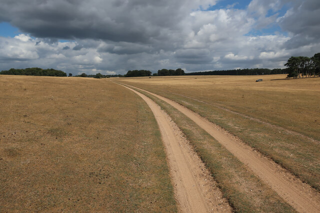
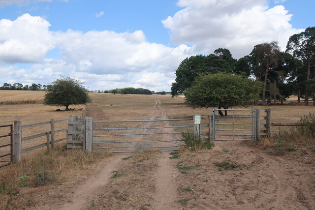
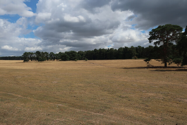
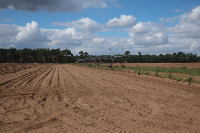
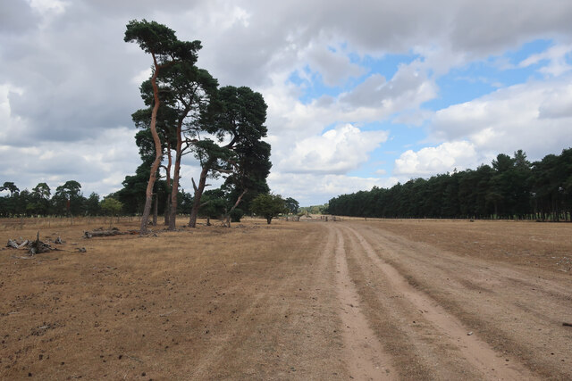
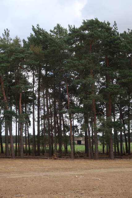
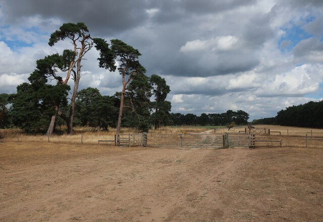
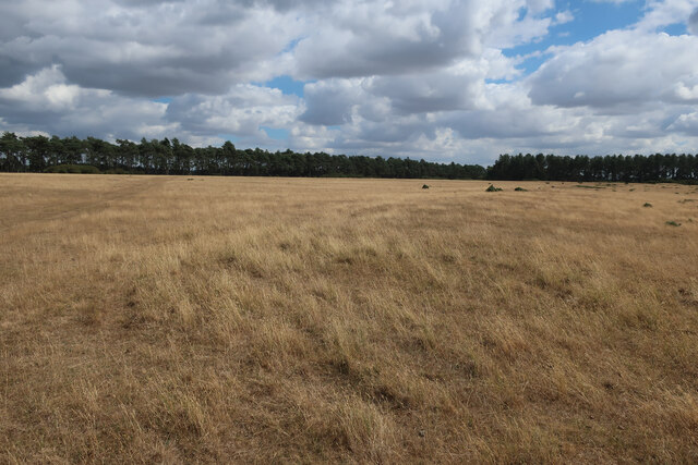
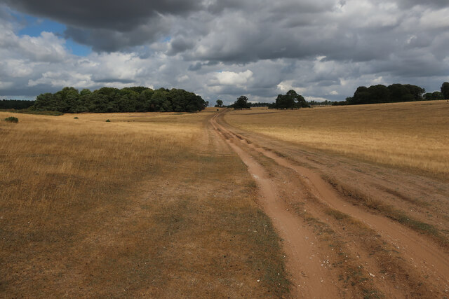
Biddell's Plantation, located in Suffolk, England, is a picturesque woodland that covers an area of approximately 300 acres. Also known as Biddell's Wood or Biddell's Forest, it is situated in the heart of the Suffolk countryside, offering visitors a serene and tranquil environment to explore.
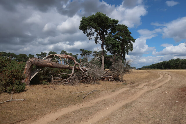
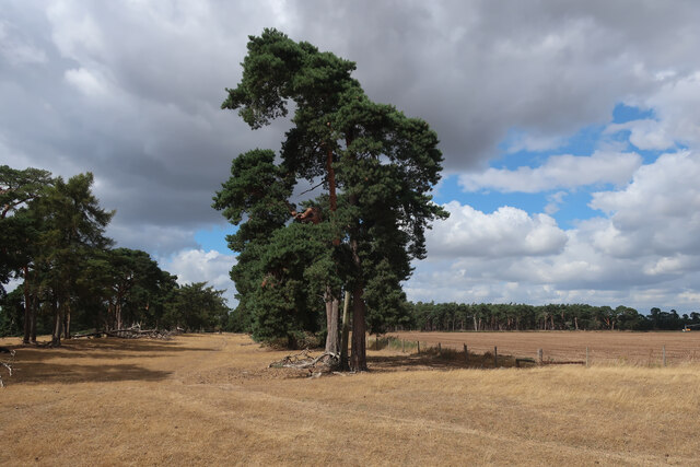
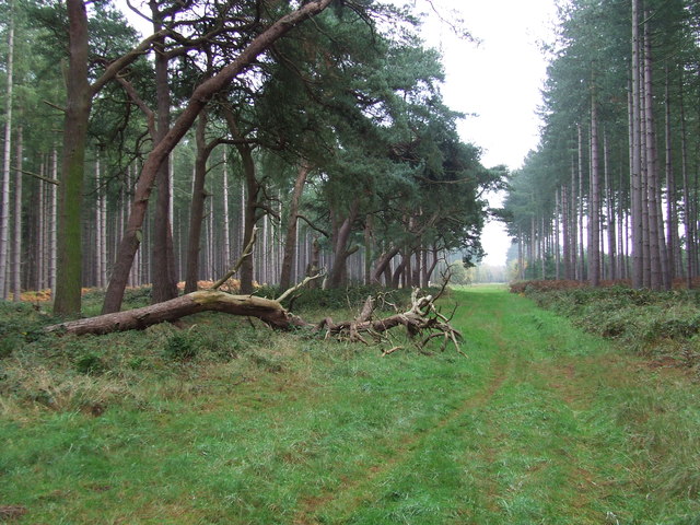
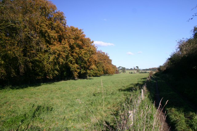
The plantation is characterized by its dense and diverse woodland, boasting a variety of tree species such as oak, beech, ash, and birch. These trees, many of which are several decades old, create a rich and vibrant canopy, providing shade and shelter for a wide array of wildlife.
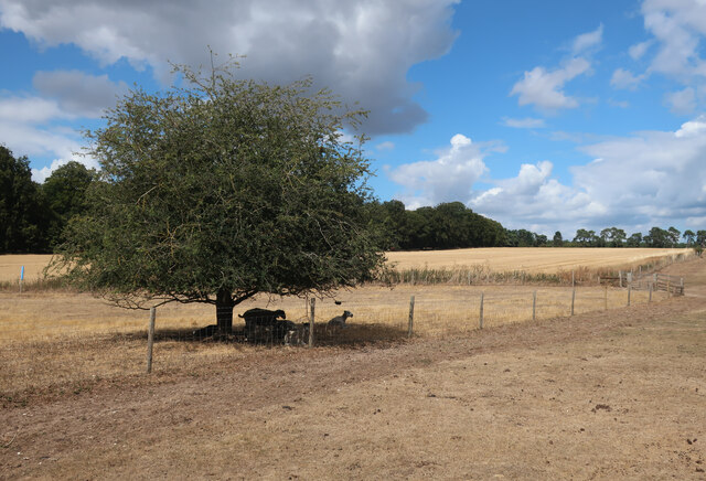
Walking through Biddell's Plantation, one can encounter an abundance of flora and fauna. Wildflowers such as bluebells, primroses, and wood anemones carpet the forest floor during the spring months, while ferns and mosses thrive in the damp, shaded areas. The woodland is home to numerous bird species, including woodpeckers, owls, and various songbirds. Additionally, mammals like deer, foxes, and rabbits can be spotted within the plantation, making it a popular destination for nature enthusiasts and wildlife photographers.
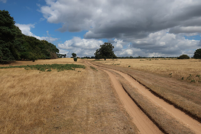
The plantation offers a network of well-maintained footpaths and trails, allowing visitors to explore its beauty at their leisure. The paths wind through the trees, revealing breathtaking views, hidden glades, and peaceful clearings. Biddell's Plantation also has picnic areas and benches strategically placed throughout, providing the perfect spots for visitors to rest and soak in the natural surroundings.
Overall, Biddell's Plantation in Suffolk is a haven of natural beauty, offering a serene escape from the hustle and bustle of everyday life. With its diverse woodland, abundant wildlife, and well-maintained trails, it is a destination that appeals to nature lovers, hikers, and anyone seeking tranquility amidst the beauty of the English countryside.
If you have any feedback on the listing, please let us know in the comments section below.
Biddell's Plantation Images
Images are sourced within 2km of 52.338201/0.62268147 or Grid Reference TL7874. Thanks to Geograph Open Source API. All images are credited.


Biddell's Plantation is located at Grid Ref: TL7874 (Lat: 52.338201, Lng: 0.62268147)
Administrative County: Suffolk
District: West Suffolk
Police Authority: Suffolk
What 3 Words
///tone.founders.honeybees. Near Mildenhall, Suffolk
Nearby Locations
Related Wikis

Deadman's Grave, Icklingham
Deadman's Grave, Icklingham is a 127.3-hectare (315-acre) biological Site of Special Scientific Interest north-east of Icklingham in Suffolk. It is a Nature...

All Saints' Church, Icklingham
All Saints' Church is a redundant Anglican church in the village of Icklingham, Suffolk, England. It is recorded in the National Heritage List for England...

Berner's Heath
Berner's Heath is a 236.9-hectare (585-acre) biological Site of Special Scientific Interest north-east of Icklingham in Suffolk. It is a Nature Conservation...

West Stow Heath
West Stow Heath is a 44.3-hectare (109-acre) biological Site of Special Scientific Interest west of West Stow in Suffolk. It is part of the Breckland Special...

West Stow Anglo-Saxon Village
West Stow Anglo-Saxon Village is an archaeological site and an open-air museum located near to West Stow in Suffolk, eastern England. Evidence for intermittent...

Weather and Horn Heaths, Eriswell
Weather and Horn Heaths, Eriswell is a 133.3-hectare (329-acre) biological Site of Special Scientific Interest east of Eriswell in Suffolk. It is a Nature...

Cavenham–Icklingham Heaths
Cavenham–Icklingham Heaths is a 419 hectare biological Site of Special Scientific Interest west of Icklingham in Suffolk. It is a Nature Conservation Review...
Icklingham
Icklingham is a village and civil parish in the West Suffolk district of Suffolk in eastern England. It is located about 7 miles (11 km) north-west of...
Have you been to Biddell's Plantation?
Leave your review of Biddell's Plantation below (or comments, questions and feedback).