Benfleet Downs
Wood, Forest in Essex Castle Point
England
Benfleet Downs

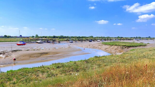
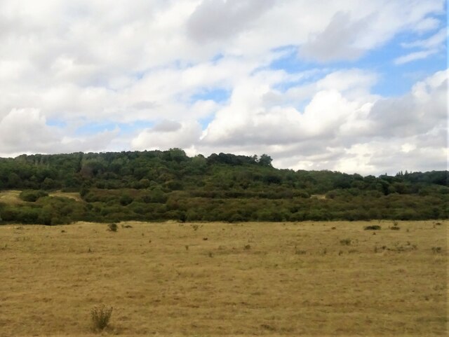
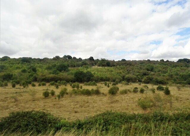
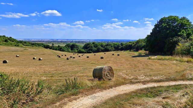
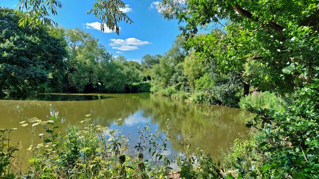
Benfleet Downs is a scenic area located in Essex, England. Known for its stunning woodlands and picturesque forest, it spans across approximately 250 acres of land. The downs are situated on a high elevation, offering breathtaking views of the surrounding countryside and estuary.
The woodlands of Benfleet Downs are predominantly composed of oak trees, along with various other species such as birch, beech, and holly. These diverse woodlands provide a habitat for an array of wildlife, including birds, small mammals, and insects. The forest is particularly renowned for its birdwatching opportunities, attracting enthusiasts from near and far.
The downs also feature a network of walking trails, making it a popular spot for outdoor activities such as hiking and nature walks. These trails offer visitors the chance to immerse themselves in the natural beauty of the area, with opportunities to spot wildflowers and enjoy the tranquil atmosphere.
In addition to its natural charm, Benfleet Downs is steeped in history. The area was once home to Iron Age settlements, and remnants of these ancient settlements can still be seen today. The downs also played a significant role during World War II, serving as a strategic location for radar stations.
Overall, Benfleet Downs offers a unique blend of natural beauty, wildlife, and historical significance. Whether it is exploring the enchanting woodlands, admiring the stunning views, or delving into its rich history, this Essex gem provides an unforgettable experience for visitors of all ages.
If you have any feedback on the listing, please let us know in the comments section below.
Benfleet Downs Images
Images are sourced within 2km of 51.543132/0.57372543 or Grid Reference TQ7885. Thanks to Geograph Open Source API. All images are credited.


Benfleet Downs is located at Grid Ref: TQ7885 (Lat: 51.543132, Lng: 0.57372543)
Administrative County: Essex
District: Castle Point
Police Authority: Essex
What 3 Words
///once.burn.worth. Near South Benfleet, Essex
Nearby Locations
Related Wikis

Castle Point (UK Parliament constituency)
Castle Point is a constituency in Essex represented in the House of Commons of the UK Parliament since 2010 by Rebecca Harris, a Conservative. == Constituency... ==
Castle Point
Castle Point is a local government district with borough status in south Essex, England, lying 30 miles (48 km) east of central London. The borough comprises...
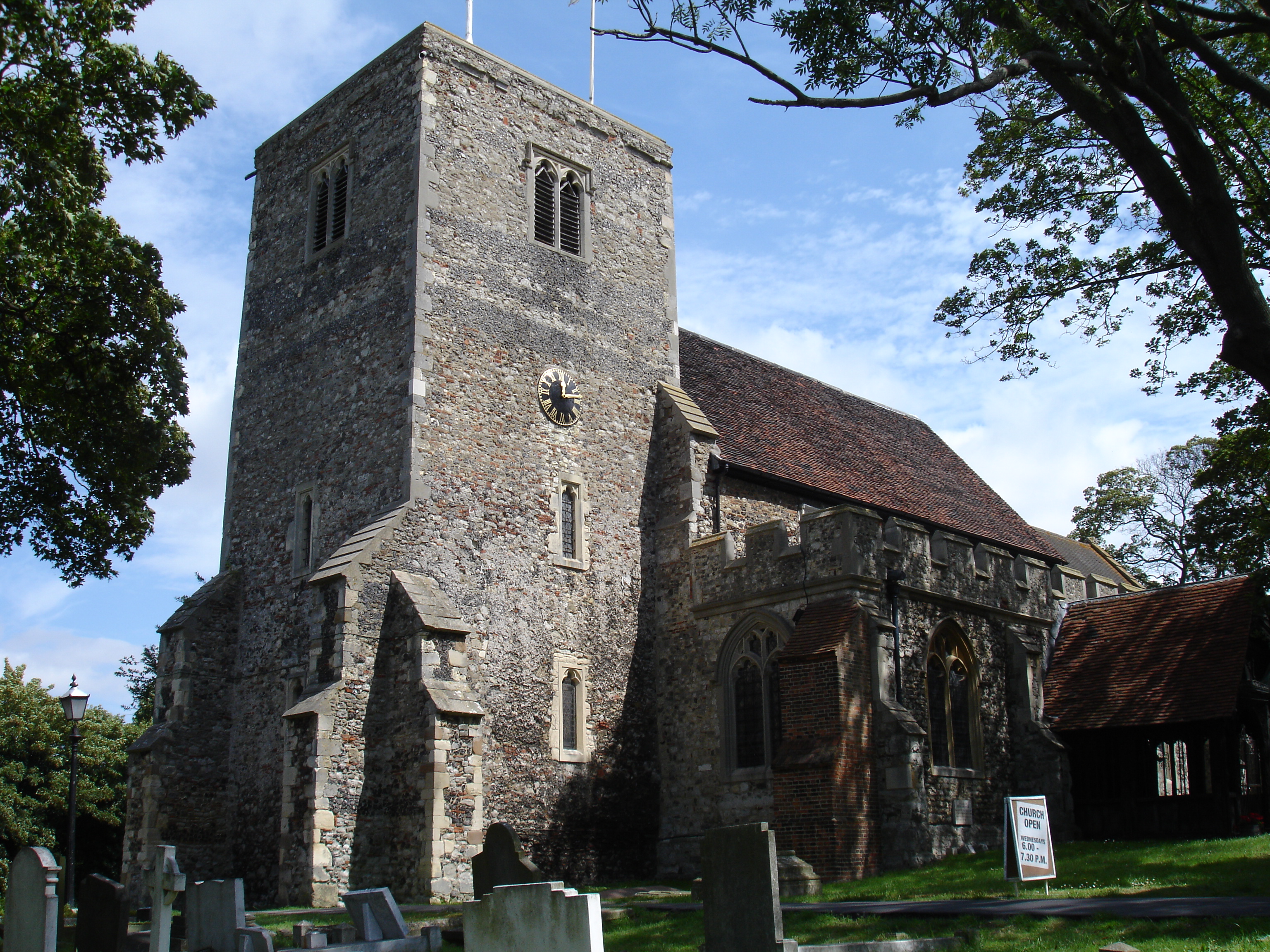
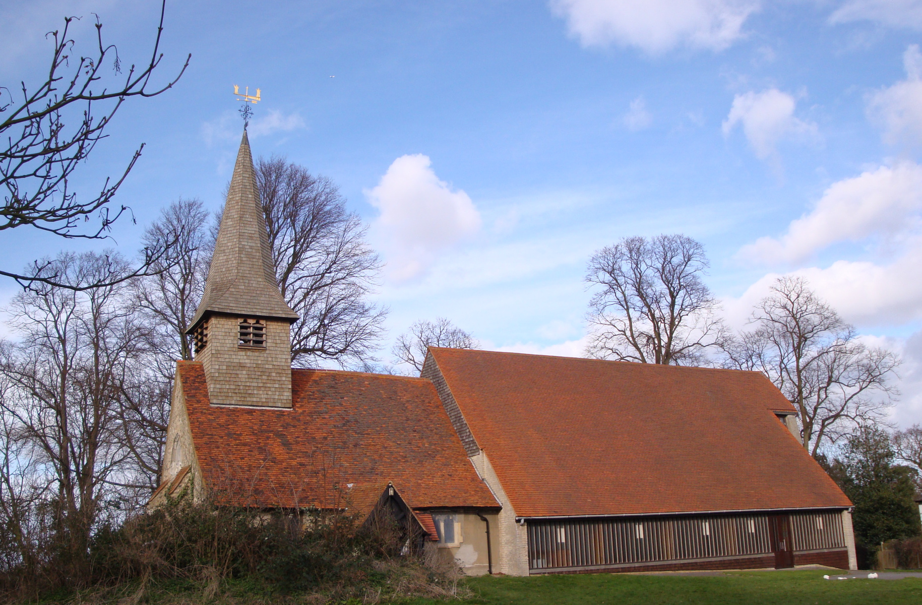
Church of St Mary the Virgin, South Benfleet
The Church of St Mary the Virgin is the parish church of South Benfleet, Essex. The church dates to around the 12th century, and predates the neighbouring...
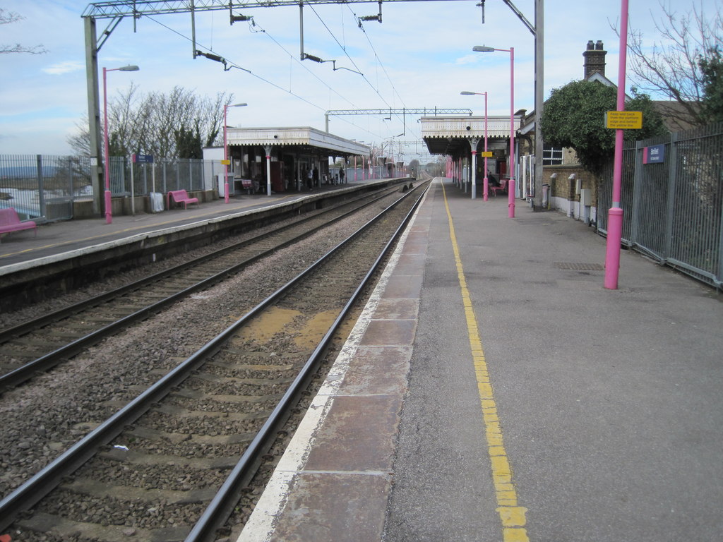
Benfleet railway station
Benfleet railway station is on the London, Tilbury and Southend line, serving the towns of South Benfleet and Canvey Island, Essex. It is 29 miles 11 chains...

Battle of Benfleet
The Battle of Benfleet was an 894 battle between the Vikings and the Anglo-Saxons commanded by Edward the Elder and Æthelred, Lord of the Mercians, the...
South Benfleet
South Benfleet is a town and former civil parish, in the Castle Point district of Essex, England, 30 miles east of London. It is adjacent to the village...
Benfleet Urban District
Benfleet Urban District was an urban district in the county of Essex, England. It was created on 1 October 1929 from the parts of Rochford Rural District...
Castle View School
Castle View School is a comprehensive school for ages 11–16, located on Canvey Island in Essex, England, sited on the old Furtherwick School site in the...
Nearby Amenities
Located within 500m of 51.543132,0.57372543Have you been to Benfleet Downs?
Leave your review of Benfleet Downs below (or comments, questions and feedback).