Victoria Belt

Wood, Forest in Suffolk West Suffolk

England

Victoria Belt

Pine Trees near A11 Seen from near War Memorial.
Pine Trees near A11 Credit: Christine Matthews

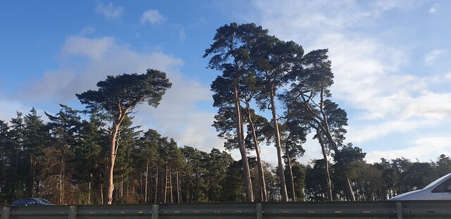
Victoria Belt is a picturesque woodland area located in the county of Suffolk, England. Nestled within the larger region known as the Suffolk Woodlands, Victoria Belt offers visitors a serene and enchanting escape from the bustling city life.

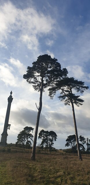
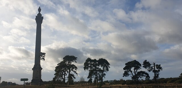
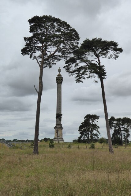
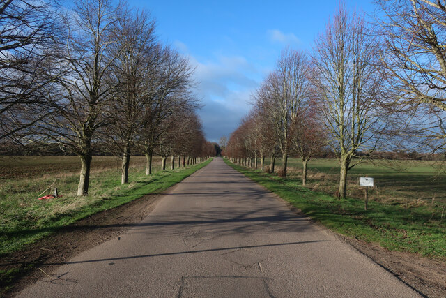
Covering an area of approximately 200 acres, this forested area is characterized by its dense canopy of ancient trees, including oak, beech, and birch. The woodland floor is adorned with a rich carpet of bluebells and ferns, creating a magical atmosphere throughout the year.

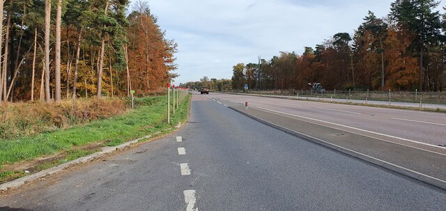
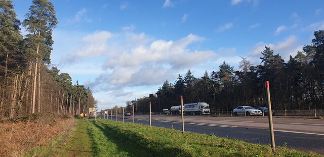
The flora and fauna of Victoria Belt are diverse and plentiful. The forest is home to a wide range of wildlife, including deer, foxes, badgers, and various bird species, making it a haven for nature enthusiasts and photographers. The tranquil environment also attracts many walkers and hikers who come to explore the numerous trails and paths that wind through the forest.

One of the highlights of Victoria Belt is the Victoria Belt Nature Reserve, which is managed by the Suffolk Wildlife Trust. This reserve offers a unique opportunity for visitors to learn about the local ecosystem and conservation efforts. The reserve features informative displays, guided walks, and educational programs, providing a valuable resource for both locals and tourists.

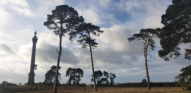
In addition to its natural beauty, Victoria Belt has historical significance. The area was once part of a royal hunting ground during the Victorian era, hence its name. Today, remnants of this past can still be found, with old boundary walls and markers adding a touch of nostalgia to the landscape.

Overall, Victoria Belt in Suffolk is a captivating destination for those seeking tranquility, natural beauty, and a connection to the past.

If you have any feedback on the listing, please let us know in the comments section below.

Victoria Belt Images

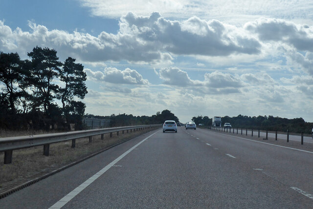
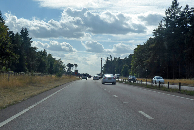
Images are sourced within 2km of 52.379708/0.6187639 or Grid Reference TL7878. Thanks to Geograph Open Source API. All images are credited.

Pine Trees near A11 Seen from near War Memorial.
Pine Trees near A11
Seen from near War Memorial.
Pine Trees near A11 Seen from near War Memorial.
Pine Trees near A11
Seen from near War Memorial.
Layby on the A11 west of Elveden
Elveden War Memorial This memorial is a Grade II listed structure situated on the north side of the All, commemorating WW1 and WW2.  This image is taken from the path from the layby.  The memorial is behind the photographer.
Elveden War Memorial
This memorial is a Grade II listed structure situated on the north side of the All, commemorating WW1 and WW2. This image is taken from the path from the layby. The memorial is behind the photographer.
Looking up at the Pine Trees The War Memorial is to the left.
Looking up at the Pine Trees
The War Memorial is to the left.
Looking up at the Pine Trees The War Memorial is to the left.
Looking up at the Pine Trees
The War Memorial is to the left.
Looking up at the Pine Trees The War Memorial is to the left.
Looking up at the Pine Trees
The War Memorial is to the left.
Elveden War Memorial Driving along the A11 as I approached this column I had to stop and have a closer look.  My first though was it was a monument on an estate in memory of an eminent local landowner, but no it is a war memorial erected in 1921.  Surely it will be difficult to find another as impressive as this.  The monument was designed by Clyde Francis Young, and is Grade II* listed, see: <span class="nowrap"><a title="https://historicengland.org.uk/listing/the-list/list-entry/1037610?section=official-list-entry" rel="nofollow ugc noopener" href="https://historicengland.org.uk/listing/the-list/list-entry/1037610?section=official-list-entry">Link</a><img style="margin-left:2px;" alt="External link" title="External link - shift click to open in new window" src="https://s1.geograph.org.uk/img/external.png" width="10" height="10"/></span>
Elveden War Memorial
Driving along the A11 as I approached this column I had to stop and have a closer look. My first though was it was a monument on an estate in memory of an eminent local landowner, but no it is a war memorial erected in 1921. Surely it will be difficult to find another as impressive as this. The monument was designed by Clyde Francis Young, and is Grade II* listed, see: LinkExternal link
The A11 near Elveden War Memorial
A11 towards London But no longer a continuous route with that number. Taking the A14 around Newmarket is the first interruption.
A11 towards London
But no longer a continuous route with that number. Taking the A14 around Newmarket is the first interruption.
A11 towards London But no longer a continuous route with that number. Taking the A14 around Newmarket is the first interruption.
A11 towards London
But no longer a continuous route with that number. Taking the A14 around Newmarket is the first interruption.
Open access sign Due to sensitive wildlife the area is only open access between November and February.
Open access sign
Due to sensitive wildlife the area is only open access between November and February.
Private road to High Lodge
Realigned bridleway The path has been shifted east to link to an underpass to cross the A11 after it has been widened.
Realigned bridleway
The path has been shifted east to link to an underpass to cross the A11 after it has been widened.
Farm track by Partition Belt
Lakenheath Warren Grassy heath. The area is open access land, but only between November and February due to sensitive wildlife, <a href="https://www.geograph.org.uk/photo/7383126">TL7779 : Open access sign</a>
Lakenheath Warren
Grassy heath. The area is open access land, but only between November and February due to sensitive wildlife, TL7779 : Open access sign
Show me another place!

Victoria Belt is located at Grid Ref: TL7878 (Lat: 52.379708, Lng: 0.6187639)

Administrative County: Suffolk

District: West Suffolk

Police Authority: Suffolk

What 3 Words

///airbrush.shocking.juicy. Near Lakenheath, Suffolk

Nearby Locations

Cross Belt Victoria Belt

Related Wikis

Weather and Horn Heaths, Eriswell

Weather and Horn Heaths, Eriswell is a 133.3-hectare (329-acre) biological Site of Special Scientific Interest east of Eriswell in Suffolk. It is a Nature...

Lakenheath Warren

Lakenheath Warren is a 588.3-hectare (1,454-acre) biological Site of Special Scientific Interest south-east of Lakenheath in Suffolk, England. It is a...

Breckland Farmland

Breckland Farmland is a 13,392.4 hectare biological Site of Special Scientific Interest (SSSI) in many separate areas between Swaffham in Norfolk and Bury...

Berner's Heath

Berner's Heath is a 236.9-hectare (585-acre) biological Site of Special Scientific Interest north-east of Icklingham in Suffolk. It is a Nature Conservation...

Nearby Amenities

Located within 500m of 52.379708,0.6187639
Leisure: garden
Lat/Long: 52.3799358/0.6119256
The data included in this document is from www.openstreetmap.org. The data is made available under ODbL.

Have you been to Victoria Belt?

Leave your review of Victoria Belt below (or comments, questions and feedback).