Beulah Wood

Wood, Forest in Kent Maidstone

England

Beulah Wood

Footpath heading north to Grange Lane The path is named Sheep Wash, it has a tunnel under the M20 from Penenden Heath a suburb of Maidstone.
Footpath heading north to Grange Lane Credit: James Emmans

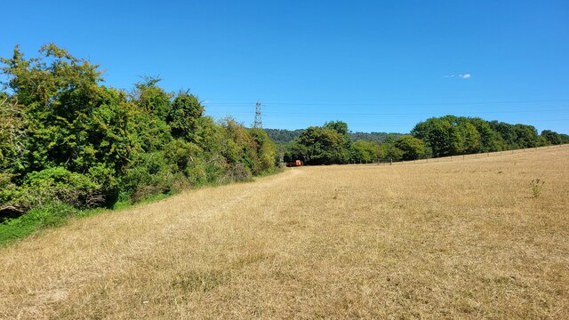
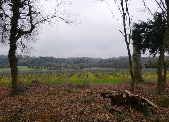
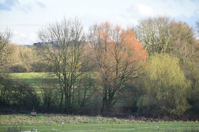
Beulah Wood, located in the county of Kent, England, is a picturesque woodland area known for its natural beauty and serene atmosphere. Spanning over several hectares, this enchanting forest is a haven for nature lovers and outdoor enthusiasts.

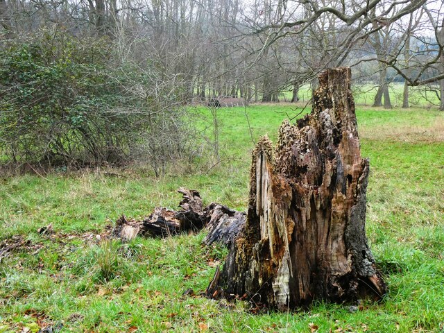
The woodland is characterized by its diverse range of tree species, including oak, beech, and birch, which create a stunning canopy overhead. The forest floor is adorned with a carpet of vibrant wildflowers and ferns, providing a rich habitat for various flora and fauna.

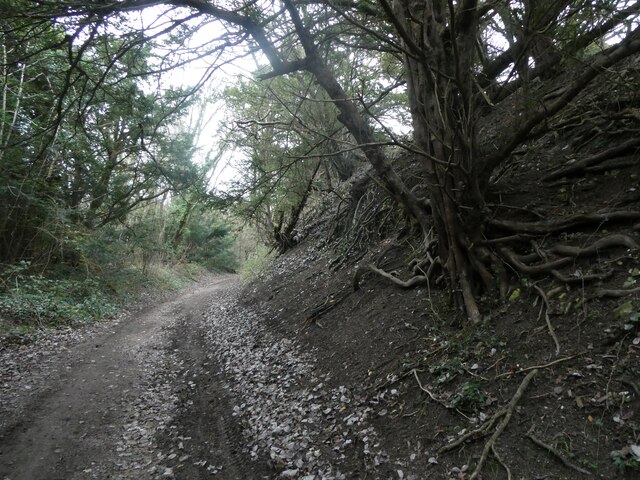
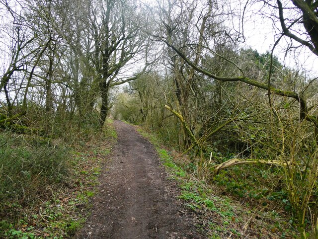
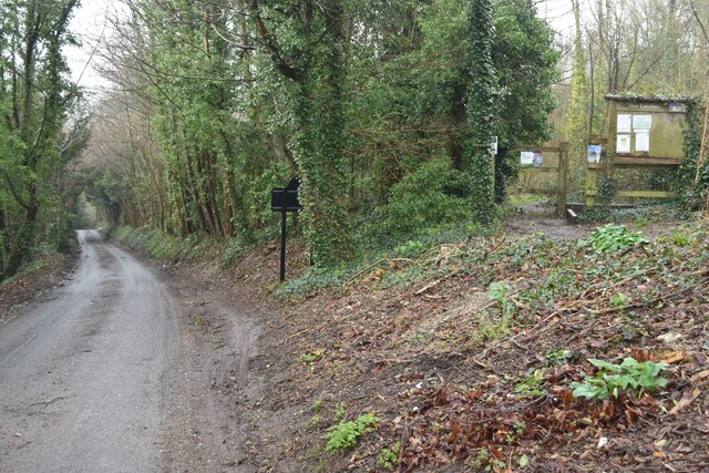
Beulah Wood offers a network of well-maintained trails, allowing visitors to explore the forest at their own pace. These paths wind through the trees, offering glimpses of hidden clearings and tranquil ponds along the way. The peaceful ambiance makes it an ideal spot for leisurely walks, picnics, and even birdwatching.

Bird enthusiasts will be delighted by the plethora of species that call Beulah Wood home. From the melodious song of the nightingale to the acrobatic displays of woodpeckers, the forest is alive with the sounds and sights of avian life.

For those seeking a deeper connection with nature, Beulah Wood also offers designated camping areas. Nestled within the trees, these secluded spots provide a unique opportunity to spend the night under the stars, surrounded by the soothing sounds of the forest.

Overall, Beulah Wood in Kent is a hidden gem, offering a peaceful retreat from the bustle of everyday life. Whether you are a nature lover, hiker, or someone in need of tranquility, this enchanting woodland is sure to captivate your senses and leave you feeling refreshed and rejuvenated.

If you have any feedback on the listing, please let us know in the comments section below.
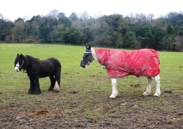
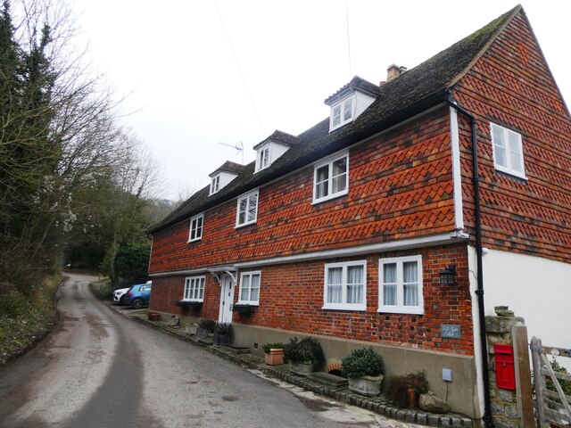
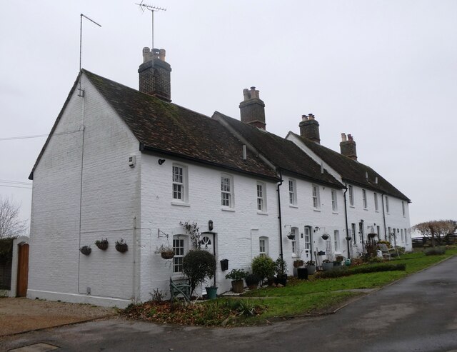
Beulah Wood Images

Images are sourced within 2km of 51.291515/0.55499281 or Grid Reference TQ7857. Thanks to Geograph Open Source API. All images are credited.

Footpath heading north to Grange Lane The path is named Sheep Wash, it has a tunnel under the M20 from Penenden Heath a suburb of Maidstone.
Footpath heading north to Grange Lane
The path is named Sheep Wash, it has a tunnel under the M20 from Penenden Heath a suburb of Maidstone.
Hermitage Lane, Detling A steep track leading to part of the North Downs Way to the west of the village.
Hermitage Lane, Detling
A steep track leading to part of the North Downs Way to the west of the village.
North Downs Way, near Detling
Farmland near Detling North west of the village by Pilgrims Way.
Farmland near Detling
North west of the village by Pilgrims Way.
Horse and pony, Boxley Riding School On Pilgrims Way.
Horse and pony, Boxley Riding School
On Pilgrims Way.
Hatchett and Styles Cottage, Boxley On Styles Lane. Grade II listed, 16th century and 20th century.
Hatchett and Styles Cottage, Boxley
On Styles Lane. Grade II listed, 16th century and 20th century.
Greenfield Cottages, The  Street, Boxley Formerly four farm cottages, built in the early 1800s
Greenfield Cottages, The Street, Boxley
Formerly four farm cottages, built in the early 1800s
Dead tree near Harple Lane, Detling By the footpath running between Boxley Church and Harple Lane.
Dead tree near Harple Lane, Detling
By the footpath running between Boxley Church and Harple Lane.
Farmland near Detling Looking across to Pilgrims Way from the footpath running between Boxley Church and Harple Lane.
Farmland near Detling
Looking across to Pilgrims Way from the footpath running between Boxley Church and Harple Lane.
Timber-framed houses in The Street, Detling
A249 at Detling Hill Seen from the footbridge at <a href="https://www.geograph.org.uk/photo/3043084">TQ7958 : Jade's Crossing, Detling</a>
A249 at Detling Hill
Seen from the footbridge at TQ7958 : Jade's Crossing, Detling
Pilgrims Way, northwest of Detling On the right is an entrance to The Larches, an area of woodland managed by Kent Wildlife Trust.
Pilgrims Way, northwest of Detling
On the right is an entrance to The Larches, an area of woodland managed by Kent Wildlife Trust.
Eastbound Javelin train on the HS1 route at Detling
Detling Village from the south With the line of Detling Hill beyond.
Detling Village from the south
With the line of Detling Hill beyond.
Puddle in Hockers Lane
Hockers Lane Looking past the waterworks entrance towards the M20 bridge.
Hockers Lane
Looking past the waterworks entrance towards the M20 bridge.
Trees and fields south of the M20
Path into The Larches Area of woodland managed by Kent Wildlife Trust, seen on a very wet and misty morning.
Path into The Larches
Area of woodland managed by Kent Wildlife Trust, seen on a very wet and misty morning.
Show me another place!

Beulah Wood is located at Grid Ref: TQ7857 (Lat: 51.291515, Lng: 0.55499281)

Administrative County: Kent

District: Maidstone

Police Authority: Kent

What 3 Words

///brush.swear.trap. Near Maidstone, Kent

Nearby Locations

Horish Wood Beulah Wood

Related Wikis

KIMS Hospital, Maidstone

KIMS Hospital is the largest independent private hospital in Kent. It is situated in Maidstone and treats privately insured, self-funding and NHS patients...
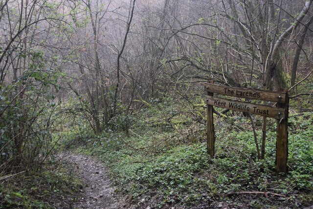
The Larches, Kent

The Larches is a 25-hectare (62-acre) nature reserve north of Detling, which is north of Maidstone in Kent. It is managed by Kent Wildlife Trust. It is...

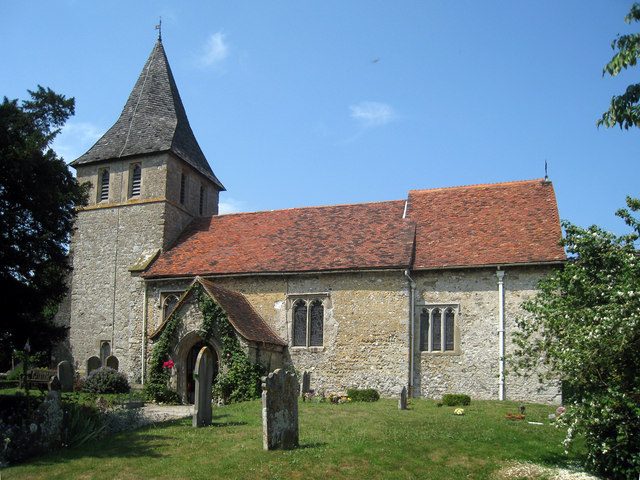
St Martin of Tours Church, Detling

St Martin of Tours is a parish church in Detling, Kent. Dedicated to Martin of Tours, the building was constructed in the 12th century with 13th and 15th...
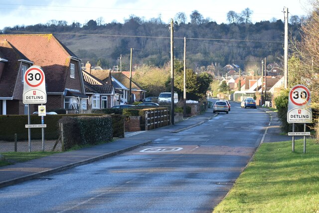
Detling

Detling is a village and civil parish in the Borough of Maidstone in Kent, England. The parish is located on the slope of the North Downs, 4 miles (6...

The Maidstone Studios

The Maidstone Studios, formerly called TVS Television Centre, is the largest independent television studio complex in the United Kingdom, and is based...

St Mary's and All Saints Church, Boxley

St Mary's and All Saints is a parish church in Boxley, Kent begun in the 13th century and with additions in the 14th and 15th centuries. The church was...

Jade's Crossing

Jade's Crossing is a footbridge in Detling, Kent, England. The footbridge crosses the A249, a major road which runs between Maidstone and Sheerness. The...

Boxley

Boxley is a village and civil parish in the Maidstone District of Kent, England. It lies below the slope of the North Downs approximately 2 miles (3.2...

Nearby Amenities

Located within 500m of 51.291515,0.55499281
Power: tower
Lat/Long: 51.2923103/0.558929
Power: tower
Lat/Long: 51.2910908/0.5556844
Phone
Emergency: phone
Lat/Long: 51.2880325/0.550913
Power: tower
Lat/Long: 51.2900809/0.5530501
Crossing
Lat/Long: 51.2883119/0.5503822
Crossing
Lat/Long: 51.2884133/0.5503755
Power: tower
Lat/Long: 51.2915086/0.5620907
Street Lamp
Direction: 0
Lamp Mount: bent_mast
Lamp Type: electric
Lat/Long: 51.2882613/0.5500274
Colour: red and white
Marker: aerial
Material: plastic
Utility: gas
Lat/Long: 51.2922351/0.5608005
Colour: yellow
Marker: post
Material: concrete
Utility: gas
Lat/Long: 51.2922328/0.5608077
The data included in this document is from www.openstreetmap.org. The data is made available under ODbL.

Have you been to Beulah Wood?

Leave your review of Beulah Wood below (or comments, questions and feedback).