Fieldbarn Plantation
Wood, Forest in Norfolk King's Lynn and West Norfolk
England
Fieldbarn Plantation

Fieldbarn Plantation is a serene and picturesque woodland located in the county of Norfolk, England. Spanning over an area of approximately 100 acres, this enchanting forest is a haven for nature lovers and outdoor enthusiasts.
The plantation is characterized by a diverse range of tree species, including majestic oak, beech, and birch trees. These towering giants create a dense canopy, providing a cool and shaded environment even on the warmest of summer days. The forest floor is carpeted with a rich tapestry of wildflowers, ferns, and mosses, adding to the overall beauty and tranquility of the woodland.
Fieldbarn Plantation is home to a variety of wildlife species, making it a popular destination for birdwatchers and animal enthusiasts. Visitors may spot native birds such as woodpeckers, owls, and robins, as well as mammals like squirrels, foxes, and deer. The plantation also supports a diverse range of insects and small reptiles, adding to the biodiversity of the area.
The woodland offers a network of well-maintained trails, allowing visitors to explore the plantation at their own pace. These pathways wind through the forest, providing opportunities for leisurely walks, jogging, or cycling. Additionally, there are designated picnic areas and benches scattered throughout the plantation, providing the perfect spot for a peaceful outdoor lunch or a moment of relaxation.
Fieldbarn Plantation is managed by the local forestry commission, ensuring its preservation and conservation for future generations to enjoy. It offers a unique and immersive experience in the heart of Norfolk's natural beauty, captivating visitors with its tranquility and abundance of wildlife.
If you have any feedback on the listing, please let us know in the comments section below.
Fieldbarn Plantation Images
Images are sourced within 2km of 52.764323/0.63910779 or Grid Reference TF7821. Thanks to Geograph Open Source API. All images are credited.


Fieldbarn Plantation is located at Grid Ref: TF7821 (Lat: 52.764323, Lng: 0.63910779)
Administrative County: Norfolk
District: King's Lynn and West Norfolk
Police Authority: Norfolk
What 3 Words
///soap.loud.divisible. Near Grimston, Norfolk
Nearby Locations
Related Wikis

KL.FM 96.7
KL.FM 96.7 (King's Lynn FM) was an Independent Local Radio station located in King's Lynn, Norfolk, England. It broadcast from a former bank building at...

Great Massingham
Great Massingham is a village and civil parish in the English county of Norfolk. It has a primary school (including a pre-school in the grounds), a village...
Little Massingham
Little Massingham is a small village and civil parish in the English county of Norfolk. It is located on the northern boundary of Great Massingham. It...
RAF Great Massingham
Royal Air Force Great Massingham or more simply RAF Great Massingham is a former Royal Air Force station located 8.1 miles (13.0 km) southwest of Fakenham...
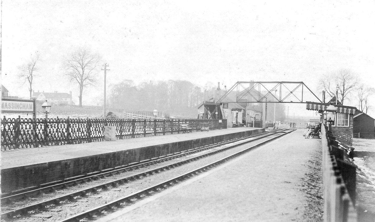
Massingham railway station
Massingham railway station is a now closed railway station in North Norfolk. It was situated at Little Massingham and was on the line between South Lynn...

Harpley, Norfolk
Harpley is a village and civil parish in the English county of Norfolk. It covers an area of 9.29 km2 (3.59 sq mi) and had a population of 353 in 157 households...

Rougham, Norfolk
Rougham is a village and civil parish in the English county of Norfolk. It covers an area of 10.85 km2 (4.19 sq mi) and had a population of 152 in 69 households...
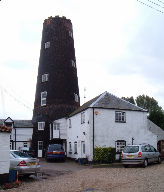
Gayton Windmill, Norfolk
For the Gayton Windmill now in Merseyside see Gayton Windmill, Cheshire Gayton Mill is a Grade II listed tower mill at Gayton, Norfolk, England which...
Nearby Amenities
Located within 500m of 52.764323,0.63910779Have you been to Fieldbarn Plantation?
Leave your review of Fieldbarn Plantation below (or comments, questions and feedback).