Alder Wood

Wood, Forest in Sussex Hastings

England

Alder Wood

Baldslow trig In playing fields and close to touchlines.
Baldslow trig Credit: Iain Macaulay

Alder Wood, Sussex, is a picturesque and serene forest located in the southern region of England. Covering an area of approximately 500 acres, this woodland is predominantly composed of alder trees, which lend their name to the area. The forest is nestled within the South Downs National Park, offering visitors breathtaking views of rolling hills, meadows, and winding trails.

Alder Wood boasts an impressive biodiversity, housing a variety of flora and fauna. The forest floor is carpeted with bluebells during the spring, creating a vibrant and enchanting atmosphere. In addition to alder trees, visitors can also spot other tree species such as oak, beech, and hazel, further enhancing the natural beauty of the woodland.

The forest is home to a multitude of wildlife, including deer, foxes, badgers, and numerous bird species. Birdwatchers can expect to see common woodland birds like woodpeckers, nuthatches, and tits, as well as migratory birds during the appropriate seasons. The tranquil atmosphere of Alder Wood provides an ideal habitat for these creatures, making it a haven for nature enthusiasts and photographers.

Visitors can explore the woodland through a network of well-maintained paths and trails, suitable for hikers of all levels. The forest also offers opportunities for cycling and horse riding, with designated routes available. Additionally, the presence of picnic areas and benches allows visitors to relax and immerse themselves in the peaceful ambiance of the forest.

Alder Wood, Sussex, is a hidden gem that offers a unique opportunity to reconnect with nature. Its stunning landscapes, diverse wildlife, and recreational activities make it a popular destination for both locals and tourists seeking a tranquil escape.

If you have any feedback on the listing, please let us know in the comments section below.

Alder Wood Images

Images are sourced within 2km of 50.885286/0.52884367 or Grid Reference TQ7712. Thanks to Geograph Open Source API. All images are credited.

Baldslow trig In playing fields and close to touchlines.
Baldslow trig
In playing fields and close to touchlines.
Railway Bridge Nr Crowhurst East Sussex Bridge over mainline railway from Hastings to London. Bridge carries the Crowhurst Road to Hastings.
Railway Bridge Nr Crowhurst East Sussex
Bridge over mainline railway from Hastings to London. Bridge carries the Crowhurst Road to Hastings.
Crowhurst  Road East Sussex Road going north to Crowhurst from Hastings.
Crowhurst Road East Sussex
Road going north to Crowhurst from Hastings.
Crowhurst Station Crowhurst is a small village between Hastings and Battle. It has a Church, primary school and a pub. The railway station is on the Hastings line. The village dates back to Anglo-Saxon times being mentioned as early as 772AD.
Website: <span class="nowrap"><a title="http://www.villagenet.co.uk/pevenseylevels/villages/crowhurst.php" rel="nofollow ugc noopener" href="http://www.villagenet.co.uk/pevenseylevels/villages/crowhurst.php">Link</a><img style="margin-left:2px;" alt="External link" title="External link - shift click to open in new window" src="https://s1.geograph.org.uk/img/external.png" width="10" height="10"/></span>
Crowhurst Station
Crowhurst is a small village between Hastings and Battle. It has a Church, primary school and a pub. The railway station is on the Hastings line. The village dates back to Anglo-Saxon times being mentioned as early as 772AD. Website: LinkExternal link
Church in the Wood Hollington East Sussex Church in the Wood was once a small chapel.The exact date of the construction of the first building is unknown. The earliest reference to it is 1139.It was reconstructed as a church in the middle of the 13th century.It is situated on the edge of a wood which is also a nature reserve.
Church in the Wood Hollington East Sussex
Church in the Wood was once a small chapel.The exact date of the construction of the first building is unknown. The earliest reference to it is 1139.It was reconstructed as a church in the middle of the 13th century.It is situated on the edge of a wood which is also a nature reserve.
Lych Gate Nr Hollington East Sussex Lych Gate to Church in the Wood erected in 1937 set in a very peaceful and pretty place; though modern housing (and Tesco) have encroached on it, it still retains its charm in the midst of the bustle of present-day Hollington.
Lych Gate Nr Hollington East Sussex
Lych Gate to Church in the Wood erected in 1937 set in a very peaceful and pretty place; though modern housing (and Tesco) have encroached on it, it still retains its charm in the midst of the bustle of present-day Hollington.
Telham Church
Telham Church
Black Horse Inn, Telham Roadside inn, which holds music festivals.
Black Horse Inn, Telham
Roadside inn, which holds music festivals.
Water Tower, Crowhurst Park With a couple of communications masts to keep it company. Next to the A2100 that forms the north eastern boundary of the park.
Water Tower, Crowhurst Park
With a couple of communications masts to keep it company. Next to the A2100 that forms the north eastern boundary of the park.
Barn, Beardell Farm On the ridge that forms the north eastern border of Crowhurst Park.
Barn, Beardell Farm
On the ridge that forms the north eastern border of Crowhurst Park.
Bannatyne's Health Club Part of the Beauport Park Hotel complex.
Bannatyne's Health Club
Part of the Beauport Park Hotel complex.
Wychnour, Battle Road Opposite the entrance to Beauport Park Golf Course. Not marked on the 1880s map which suggests very late Victorian or early Edwardian house.
Wychnour, Battle Road
Opposite the entrance to Beauport Park Golf Course. Not marked on the 1880s map which suggests very late Victorian or early Edwardian house.
Beauport Gardens Small cul de sac off The Ridge West.
Beauport Gardens
Small cul de sac off The Ridge West.
View to the Sea Taken from The Ridge West looking down the Hollington Valley towards the sea.
View to the Sea
Taken from The Ridge West looking down the Hollington Valley towards the sea.
A small gate and a big gate Both into Marline Wood. The small gate is a public footpath, although the whole area is open to the public.
A small gate and a big gate
Both into Marline Wood. The small gate is a public footpath, although the whole area is open to the public.
Path in Marline Wood The wood, and fields to the south, are a local nature reserve.
Path in Marline Wood
The wood, and fields to the south, are a local nature reserve.
Field by Marline Wood Part of a local nature reserve. The blue flowers are Bugle.
Field by Marline Wood
Part of a local nature reserve. The blue flowers are Bugle.
The back yard What the premises are is not evident from the back, but they are in the industrial estate on Sydney Little Road.
The back yard
What the premises are is not evident from the back, but they are in the industrial estate on Sydney Little Road.
Show me another place!

Alder Wood is located at Grid Ref: TQ7712 (Lat: 50.885286, Lng: 0.52884367)

Administrative County: East Sussex

District: Hastings

Police Authority: Sussex

What 3 Words

///repay.mango.taxed. Near St Leonards-on-Sea, East Sussex

Related Wikis

Marline Valley Woods

Marline Valley Woods is a 55.1-hectare (136-acre) biological Site of Special Scientific Interest on the western outskirts of Hastings in East Sussex. An...

Beauport Park

Beauport Park is a house near Hastings, East Sussex, England. It is located at the western end of the ridge of hills sheltering Hastings from the north...

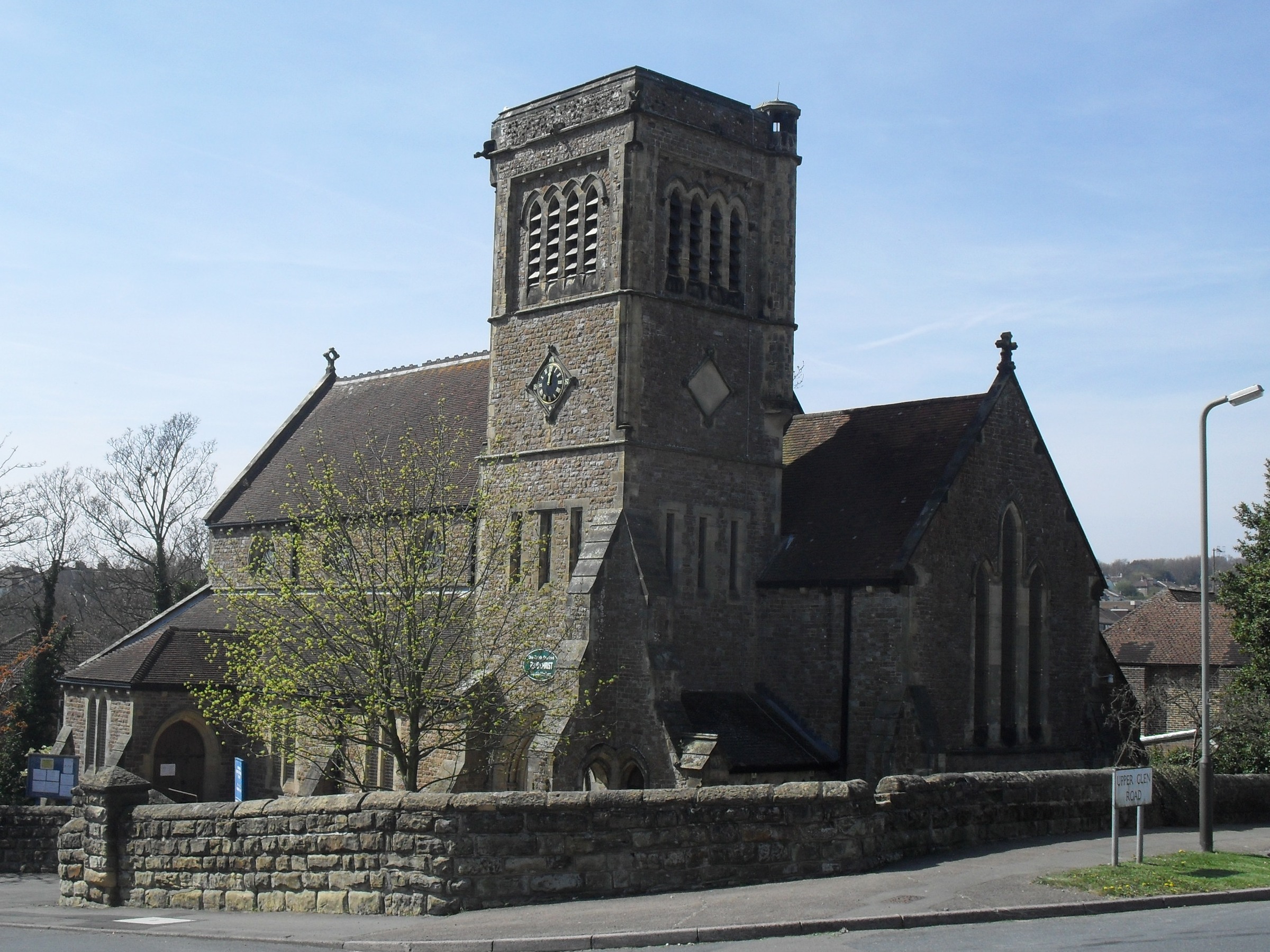
Church in the Wood, Hollington

Church in the Wood, officially known as St Leonard's Church and originally as St Rumbold's Church, is an Anglican church in the Hollington area of the...

Church Wood and Robsack Wood

Church Wood and Robsack Wood is a 29.7-hectare (73-acre) Local Nature Reserve in Hastings in East Sussex. It is owned and managed by Hastings Borough...

Hollington, Hastings

Hollington is a council estate and local government ward in the northwest of Hastings, in the Hastings district, in the county of East Sussex, England...

Blackhorse Quarry

Blackhorse Quarry is a 0.2-hectare (0.49-acre) geological Site of Special Scientific Interest south-east of Battle in East Sussex. It is a Geological Conservation...

Crowhurst railway station

Crowhurst railway station is on the Hastings line in the south of England and serves the village of Crowhurst, East Sussex. It is 57 miles 50 chains (92...

Crowhurst, East Sussex

Crowhurst is an isolated village situated five miles (8 km) north-west of Hastings in East Sussex. It has a parish council and is located within the Rother...

Nearby Amenities

Located within 500m of 50.885286,0.52884367
Power: tower
Lat/Long: 50.8814245/0.5254509
Power: tower
Lat/Long: 50.8866259/0.5327103
Power: tower
Lat/Long: 50.8838093/0.5287807
The data included in this document is from www.openstreetmap.org. The data is made available under ODbL.

Have you been to Alder Wood?

Leave your review of Alder Wood below (or comments, questions and feedback).