Brockspark Wood
Wood, Forest in Essex Braintree
England
Brockspark Wood

Brockspark Wood is a picturesque woodland located in Essex, England. Covering an area of approximately 100 acres, it is a popular destination for nature enthusiasts and hikers alike. The wood is situated near the village of Brockspark, surrounded by rolling countryside and stunning landscapes.
The woodland is predominantly composed of native broadleaf trees, including oak, beech, and birch, creating a diverse and vibrant ecosystem. The dense canopy provides shelter for numerous species of birds, such as woodpeckers, owls, and thrushes, making it an ideal spot for birdwatching.
Brockspark Wood is crisscrossed by a network of footpaths and trails, allowing visitors to explore its beauty. The paths wind through the wood, leading to hidden clearings and tranquil spots. Along the way, visitors may encounter wildflowers such as bluebells, primroses, and foxgloves, adding bursts of color to the verdant surroundings.
The wood also features a small pond, which attracts a variety of amphibians and insects. Frogs, newts, and dragonflies can often be spotted around the water's edge, providing a chance for nature enthusiasts to observe these creatures up close.
Brockspark Wood is managed by the local authority, which ensures the preservation of its natural beauty and wildlife. The wood offers a peaceful retreat from the hustle and bustle of everyday life, providing a serene environment for relaxation and reflection.
Overall, Brockspark Wood is a charming woodland that offers a range of natural attractions. Its diverse flora and fauna, network of paths, and tranquil atmosphere make it a delightful destination for nature lovers and those seeking a tranquil escape into the heart of Essex's countryside.
If you have any feedback on the listing, please let us know in the comments section below.
Brockspark Wood Images
Images are sourced within 2km of 51.79615/0.57205648 or Grid Reference TL7713. Thanks to Geograph Open Source API. All images are credited.


Brockspark Wood is located at Grid Ref: TL7713 (Lat: 51.79615, Lng: 0.57205648)
Administrative County: Essex
District: Braintree
Police Authority: Essex
What 3 Words
///loopholes.sock.lace. Near Hatfield Peverel, Essex
Nearby Locations
Related Wikis
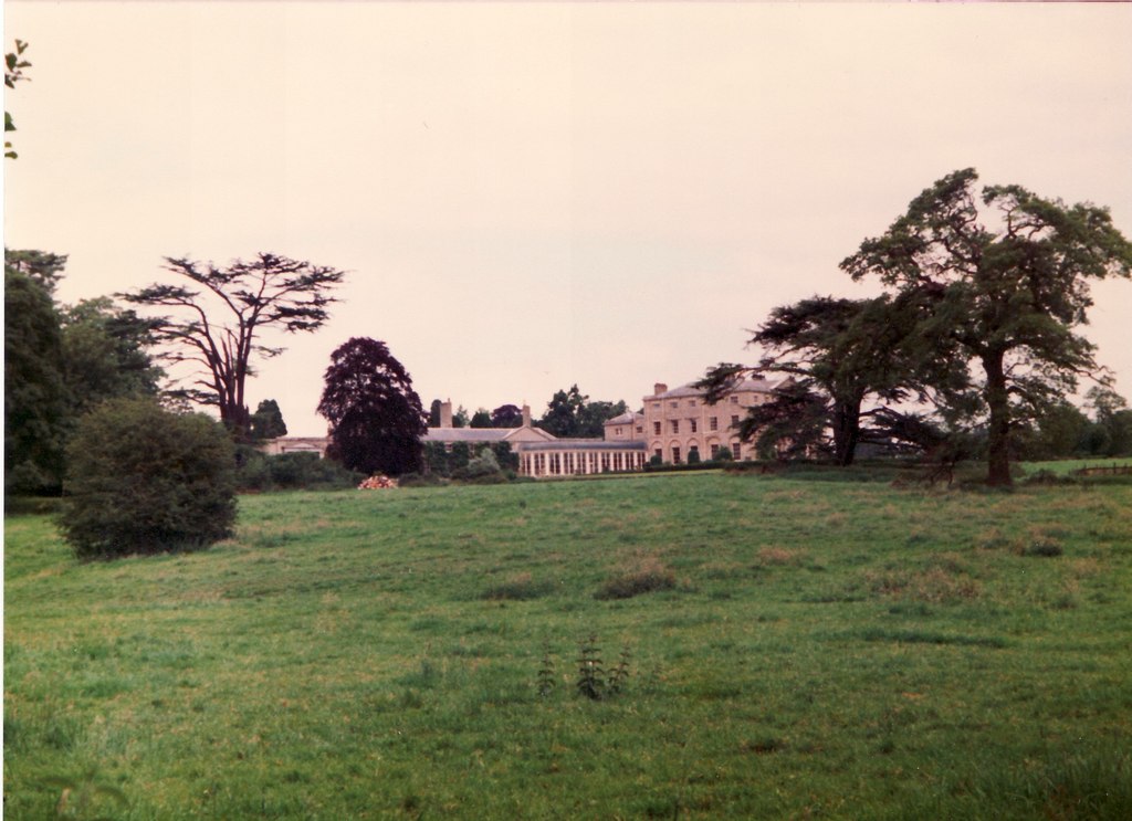
Terling Place
Terling Place is a country house within the civil parish of Terling, Essex, England, located to the south of All Saints' Church, Terling. It is recorded...
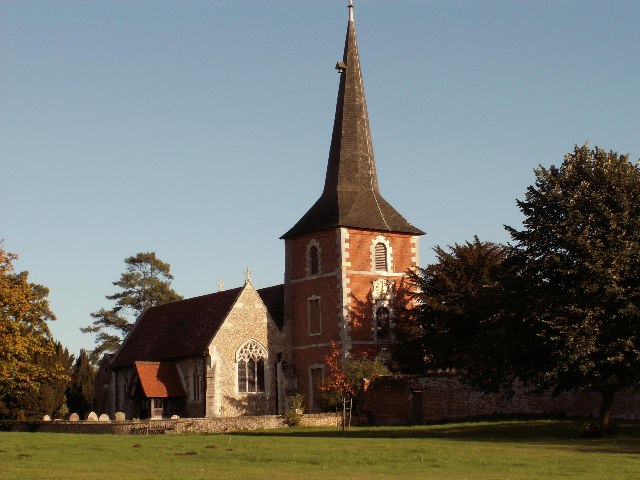
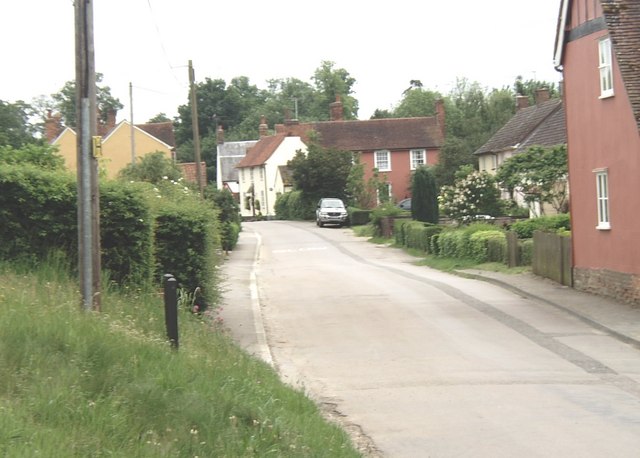
Terling
Terling (pronounced Ter-ling) is a village and civil parish in the county of Essex, England, between Braintree to the north, Chelmsford to the south-west...

Terling Windmill
Terling Windmill is a grade II listed Smock mill at Terling, Essex, England, which has been converted to residential use. == History == Terling Windmill...

Hatfield Peverel railway station
Hatfield Peverel railway station is on the Great Eastern Main Line in the East of England, serving the villages of Hatfield Peverel and Nounsley, Essex...
Nearby Amenities
Located within 500m of 51.79615,0.57205648Have you been to Brockspark Wood?
Leave your review of Brockspark Wood below (or comments, questions and feedback).