Beech Belt
Wood, Forest in Norfolk Breckland
England
Beech Belt
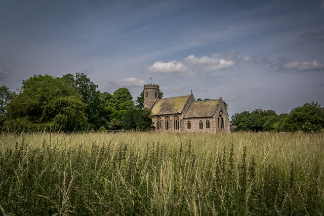
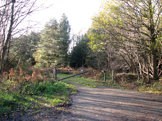
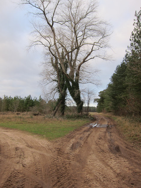
Beech Belt in Norfolk, England, is a picturesque wood known for its dense beech forest and tranquil surroundings. Located in the heart of Norfolk, this woodland offers visitors a serene escape from the hustle and bustle of everyday life.
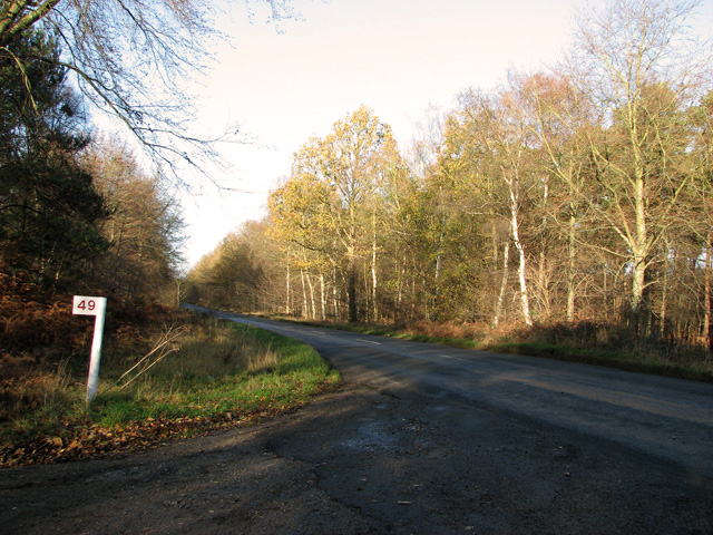
Covering an area of approximately 100 acres, Beech Belt is characterized by its tall, majestic beech trees that dominate the landscape. These trees provide a dense canopy, creating a shaded and cool atmosphere, perfect for leisurely walks or picnics on warm summer days. The forest floor is covered in a thick carpet of fallen leaves, adding to the enchanting ambiance of the wood.
The wood is home to a diverse range of flora and fauna. Bluebells and wood anemones bloom in spring, creating a colorful display that attracts nature enthusiasts and photographers alike. Bird watchers will be delighted to find a variety of species, including woodpeckers, owls, and songbirds. Squirrels and foxes can also be spotted, adding to the charm of the woodland experience.
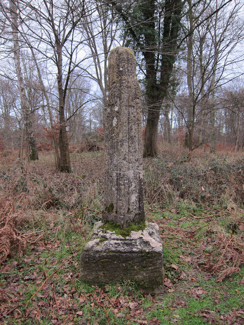
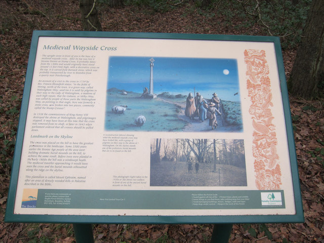
Beech Belt offers well-maintained walking trails that meander through the forest, allowing visitors to explore the wood at their own pace. These paths are suitable for all ages and abilities, making it an ideal destination for families, hikers, and nature lovers. Interpretive signs along the trails provide information about the natural history and wildlife found in the wood, enhancing the educational value of the visit.
Overall, Beech Belt in Norfolk is a haven of tranquility and natural beauty, offering visitors an opportunity to immerse themselves in the wonders of a beech forest ecosystem. Whether seeking solitude or a family adventure, this woodland is a must-visit destination for nature enthusiasts in the region.
If you have any feedback on the listing, please let us know in the comments section below.
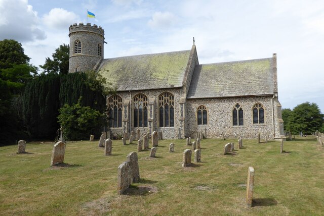
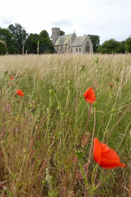
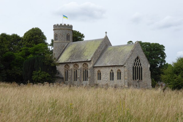
Beech Belt Images
Images are sourced within 2km of 52.4777/0.61053137 or Grid Reference TL7789. Thanks to Geograph Open Source API. All images are credited.

Beech Belt is located at Grid Ref: TL7789 (Lat: 52.4777, Lng: 0.61053137)
Administrative County: Norfolk
District: Breckland
Police Authority: Norfolk
What 3 Words
///eyepieces.rattled.tapes. Near Weeting, Norfolk
Nearby Locations
Related Wikis

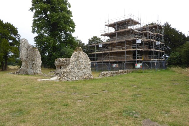
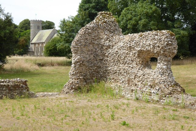
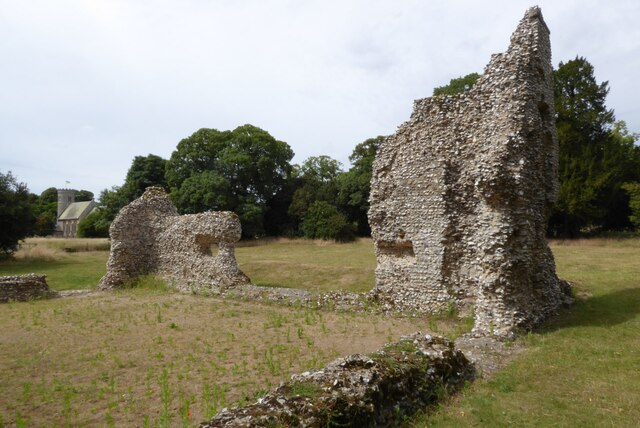
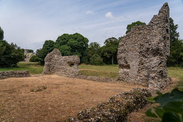
Weeting Castle
Weeting Castle is a ruined, medieval manor house near the village of Weeting in Norfolk, England. It was built around 1180 by Hugh de Plais, and comprised...

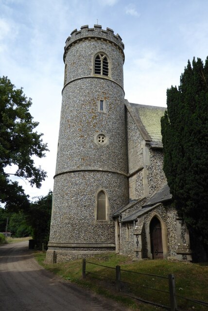
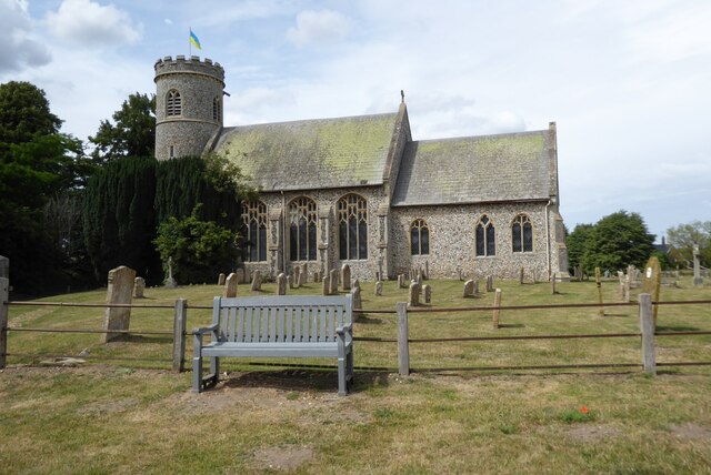
Weeting
Weeting is a village in Norfolk, England. The population can be found in the civil parish of Weeting-with-Broomhill. The village's name means 'wet place...

Weeting Heath
Weeting Heath is a 141.8-hectare (350-acre) biological Site of Special Scientific Interest west of Thetford in Norfolk, which is managed by the Norfolk...

South West Norfolk (UK Parliament constituency)
South West Norfolk is a constituency represented in the House of Commons of the UK Parliament since 2010 by Liz Truss of the Conservative Party, who briefly...

Weeting-with-Broomhill
Weeting-with-Broomhill is a civil parish in the English county of Norfolk. It covers an area of 25.16 km2 (9.71 sq mi) and had a population of 1,751 in...

Brandon railway station
Brandon railway station is on the Breckland Line in the East of England, serving the town of Brandon, Suffolk, although the station is actually situated...

Thetford Forest
Thetford Forest is the largest lowland pine forest in Britain and is located in a region straddling the north of Suffolk and the south of Norfolk in England...

Brandon, Suffolk
Brandon is a town and civil parish in the English county of Suffolk. Brandon is located in the Breckland area of Suffolk, close to the adjoining county...
Nearby Amenities
Located within 500m of 52.4777,0.61053137Have you been to Beech Belt?
Leave your review of Beech Belt below (or comments, questions and feedback).