Canada Belt

Wood, Forest in Suffolk West Suffolk

England

Canada Belt

A11 towards London But no longer a continuous route with that number. Taking the A14 around Newmarket is the first interruption.
A11 towards London Credit: Robin Webster

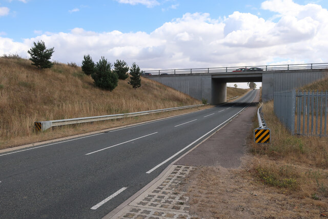
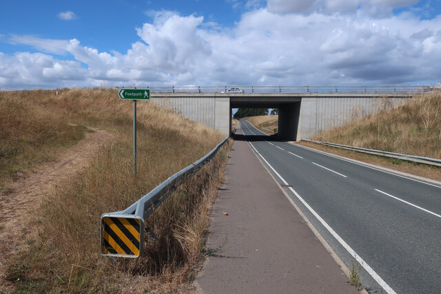
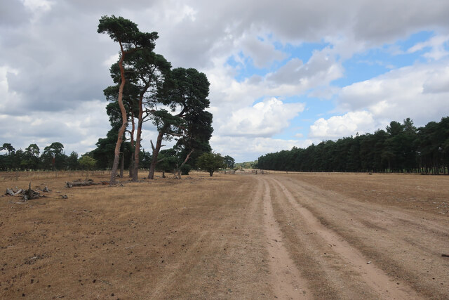
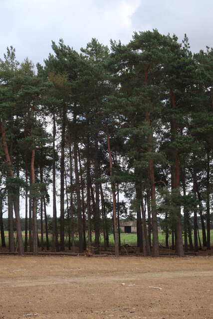
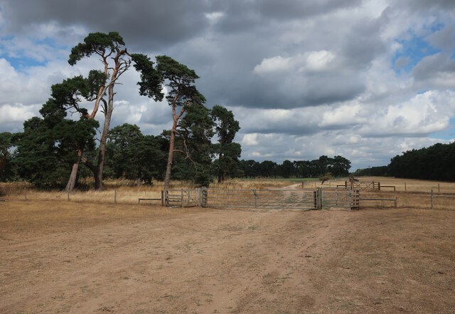
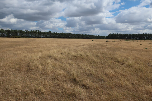
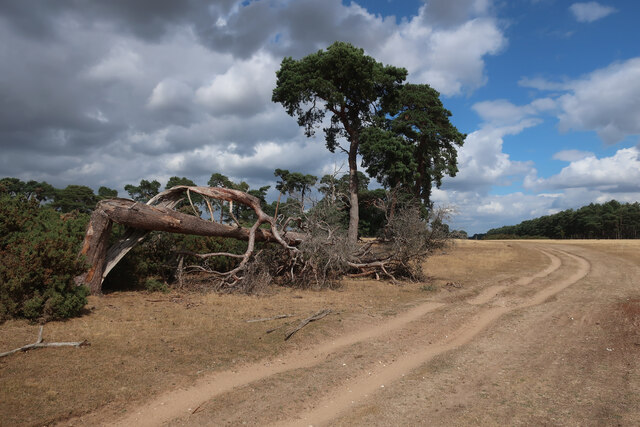
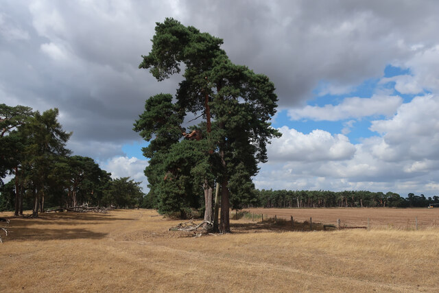
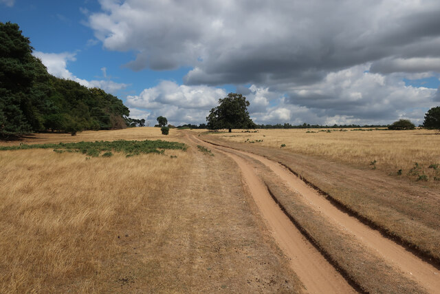
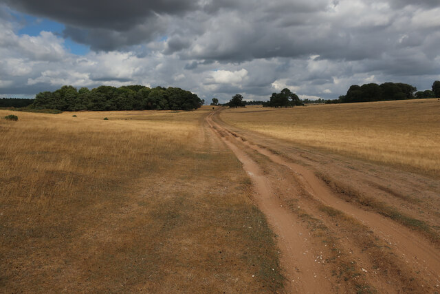
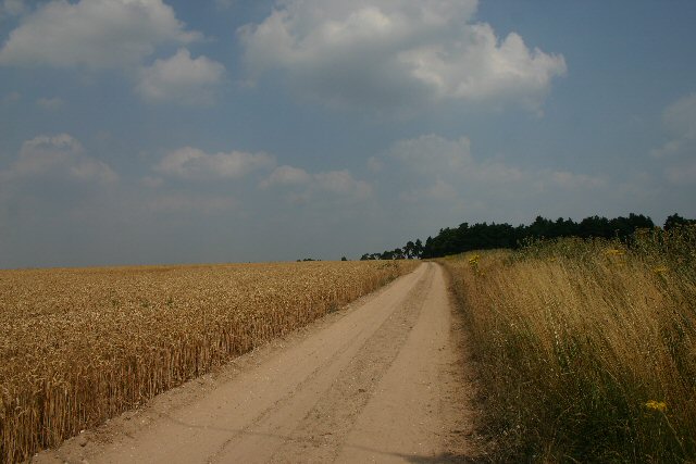
Canada Belt is a wooded area located in Suffolk, England. It is known for its dense forest and abundant wildlife, making it a popular destination for nature enthusiasts and hikers. The area is characterized by a mix of deciduous and coniferous trees, creating a diverse and picturesque landscape.

The forest is home to a variety of wildlife, including deer, squirrels, and a wide range of bird species. Visitors to Canada Belt may also spot smaller creatures such as rabbits, foxes, and hedgehogs. The peaceful atmosphere of the forest provides a tranquil escape from the hustle and bustle of everyday life.

The woodland is crisscrossed with a network of walking trails, allowing visitors to explore the area and enjoy the natural beauty of the surroundings. These paths offer opportunities for both leisurely strolls and more challenging hikes, catering to a range of fitness levels.

Overall, Canada Belt in Suffolk is a beautiful and serene woodland area that offers a peaceful retreat for those looking to connect with nature and enjoy the great outdoors.

If you have any feedback on the listing, please let us know in the comments section below.

Canada Belt Images

Images are sourced within 2km of 52.353713/0.59950043 or Grid Reference TL7776. Thanks to Geograph Open Source API. All images are credited.

A11 towards London But no longer a continuous route with that number. Taking the A14 around Newmarket is the first interruption.
A11 towards London
But no longer a continuous route with that number. Taking the A14 around Newmarket is the first interruption.
B1112 under A11 Previously a junction but that was removed when this section of the A11 was dualled, see <a href="https://www.geograph.org.uk/photo/1947215">TL7575 : Approaching the A11, B1112 junction</a>
B1112 under A11
Previously a junction but that was removed when this section of the A11 was dualled, see TL7575 : Approaching the A11, B1112 junction
B1112 under A11 Previously a junction but that was removed when this section of the A11 was dualled, see <a href="https://www.geograph.org.uk/photo/2716306">TL7575 : B1112 to Icklingham</a>. The footpath sign is to link the previous path crossing of the A11 to the underpass, see <a href="https://www.geograph.org.uk/photo/2717112">TL7475 : Tree Belt</a>
B1112 under A11
Previously a junction but that was removed when this section of the A11 was dualled, see TL7575 : B1112 to Icklingham. The footpath sign is to link the previous path crossing of the A11 to the underpass, see TL7475 : Tree Belt
Irrigation boom by Seven Tree Road
Seven Tree Road from Deadman's Heath
Tree belt by Seven Tree Road
Seven Tree Road Byway leaving Deadman's Grave.
Seven Tree Road
Byway leaving Deadman's Grave.
Deadman's Grave Grassy warren north of Icklingham.
Deadman's Grave
Grassy warren north of Icklingham.
Byway across Deadman's Grave
Edge of Deadman's Grave Open access land, but closed except for the byway from the start of March to the end of October to protect rare and ground-nesting birds.
Edge of Deadman's Grave
Open access land, but closed except for the byway from the start of March to the end of October to protect rare and ground-nesting birds.
Byway across Deadman's Grave Open access land, but closed except for the byway from the start of March to the end of October to protect rare and ground-nesting birds.
Byway across Deadman's Grave
Open access land, but closed except for the byway from the start of March to the end of October to protect rare and ground-nesting birds.
Farm track at Icklingham This track leads north east from the B1112, opposite Avenue Farm.
Farm track at Icklingham
This track leads north east from the B1112, opposite Avenue Farm.
Bishop's Hill A private sandy farm track leading to Bishop's Hill.
Bishop's Hill
A private sandy farm track leading to Bishop's Hill.
Onion field at Avenue Farm To the west of the B1112 road between Icklingham and the A11.
Onion field at Avenue Farm
To the west of the B1112 road between Icklingham and the A11.
Seven Tree Road A byway, part of the Icknield Way, leading northwards from Icklingham.
Seven Tree Road
A byway, part of the Icknield Way, leading northwards from Icklingham.
The Larches A small plantation to the east of Seven Tree Road.
The Larches
A small plantation to the east of Seven Tree Road.
Gorse bush in the Brecks An isolated gorse bush adjacent to Seven Hill Road, a byway leading northwards from Icklingham.
Gorse bush in the Brecks
An isolated gorse bush adjacent to Seven Hill Road, a byway leading northwards from Icklingham.
Show me another place!

Canada Belt is located at Grid Ref: TL7776 (Lat: 52.353713, Lng: 0.59950043)

Administrative County: Suffolk

District: West Suffolk

Police Authority: Suffolk

What 3 Words

///slicer.caused.perch. Near Mildenhall, Suffolk

Nearby Locations

Canada Belt

Related Wikis

Deadman's Grave, Icklingham

Deadman's Grave, Icklingham is a 127.3-hectare (315-acre) biological Site of Special Scientific Interest north-east of Icklingham in Suffolk. It is a Nature...

How Hill Track

How Hill Track is a 3.1-hectare (7.7-acre) biological Site of Special Scientific Interest east of Mildenhall in Suffolk. It is in the Breckland Special...

Weather and Horn Heaths, Eriswell

Weather and Horn Heaths, Eriswell is a 133.3-hectare (329-acre) biological Site of Special Scientific Interest east of Eriswell in Suffolk. It is a Nature...

Berner's Heath

Berner's Heath is a 236.9-hectare (585-acre) biological Site of Special Scientific Interest north-east of Icklingham in Suffolk. It is a Nature Conservation...

Have you been to Canada Belt?

Leave your review of Canada Belt below (or comments, questions and feedback).