Broom Covert

Wood, Forest in Norfolk King's Lynn and West Norfolk

England

Broom Covert

The West Acre Theatre "River Studios" held their art exhibition here in May 2011.
The West Acre Theatre Credit: Elliott Simpson

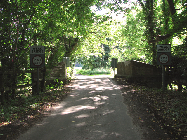
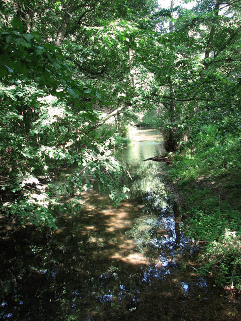
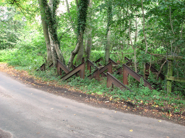
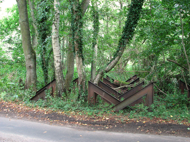
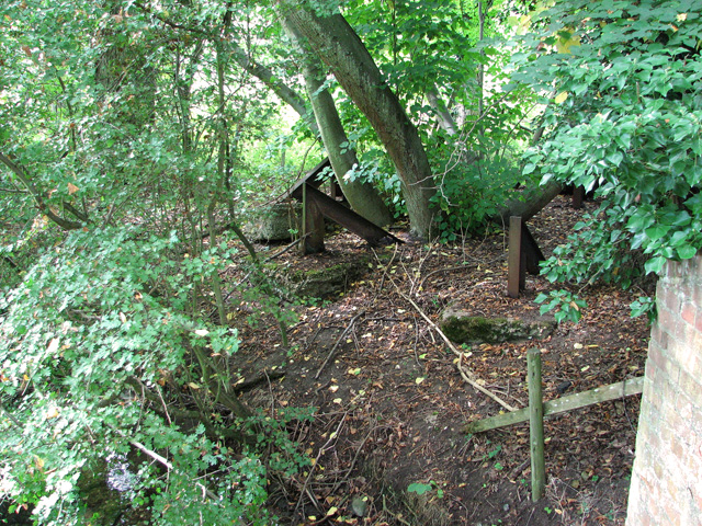
Broom Covert, located in Norfolk, England, is a picturesque wood that holds the title of a Site of Special Scientific Interest (SSSI) due to its ecological importance. Situated in the village of Woodton, this ancient woodland covers an area of approximately 20 hectares and is renowned for its diverse range of flora and fauna.

Broom Covert is predominantly composed of mixed broadleaf trees such as oak, ash, and birch, providing a rich habitat for a variety of wildlife. The woodland floor is adorned with an array of wildflowers, including bluebells, primroses, and wood anemones, creating a stunning display during the spring months. The dense undergrowth consists of ferns, brambles, and mosses, contributing to the overall biodiversity of the area.

The wood is also home to numerous species of birds, such as woodpeckers, owls, and warblers, which find refuge among the trees. Small mammals including foxes, badgers, and squirrels can also be spotted within the covert.

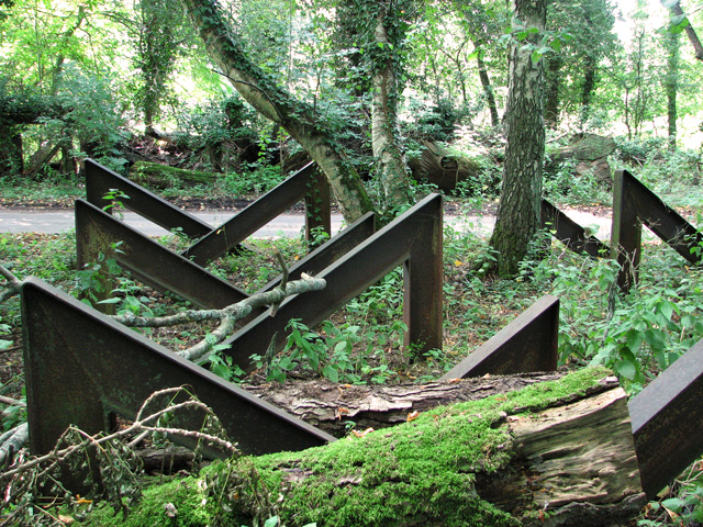
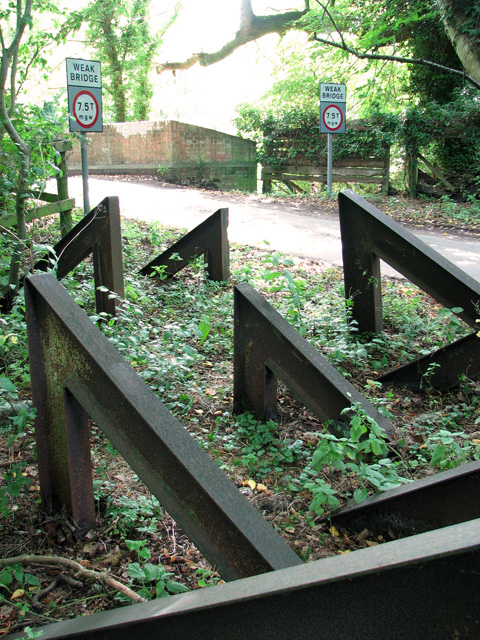
Broom Covert is managed by the Norfolk Wildlife Trust, which ensures the preservation and conservation of this important woodland. The trust actively promotes responsible woodland management practices, including maintaining clearings to encourage the growth of native plants and allowing deadwood to remain, providing a vital habitat for insects and fungi.

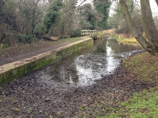
The wood offers a tranquil environment for visitors to enjoy nature walks and observe the local wildlife. It is a popular destination for local residents and nature enthusiasts alike, providing an opportunity to experience the beauty and serenity of Norfolk's natural landscape.

If you have any feedback on the listing, please let us know in the comments section below.
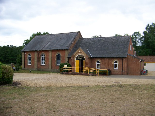
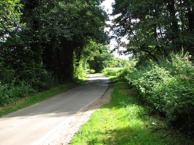
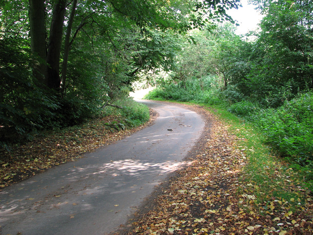
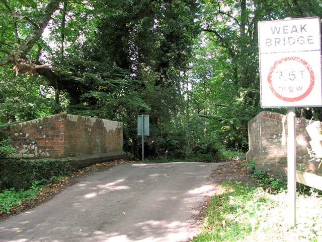
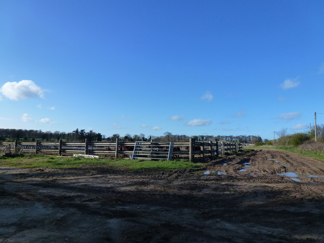
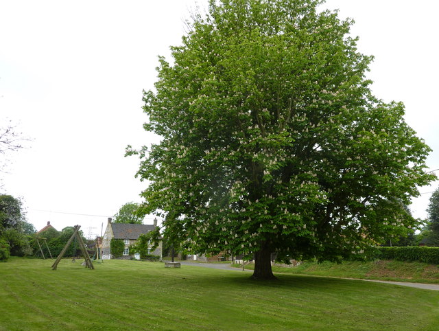
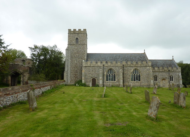
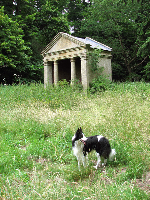
Broom Covert Images

Images are sourced within 2km of 52.710978/0.61659386 or Grid Reference TF7615. Thanks to Geograph Open Source API. All images are credited.

The West Acre Theatre "River Studios" held their art exhibition here in May 2011.
The West Acre Theatre
"River Studios" held their art exhibition here in May 2011.
Rural lane past Narford Lake
Approaching Bradmoor Hill, Narford
Bridge over the River Nar, Narford
The River Nar north of Narford Hall
A group of hairpin tank traps beside the River Nar, Narford This unusual and, so I believe, quite unique group comprising 36 hairpin tank traps formed part of the Eastern Command: II Corps Line B. This defence line ran from Southwold via Harleston on the Suffolk-Norfolk border through Attleborough, Watton and Swaffham in Norfolk and then continued on to King's Lynn. Not a conventional stop line but one centred around main roads offering no definite obstacle. All towns forming way points on the line and villages within a mile either side were to be prepared for defence. DOB site reference: S0002193.
A group of hairpin tank traps beside the River Nar, Narford
This unusual and, so I believe, quite unique group comprising 36 hairpin tank traps formed part of the Eastern Command: II Corps Line B. This defence line ran from Southwold via Harleston on the Suffolk-Norfolk border through Attleborough, Watton and Swaffham in Norfolk and then continued on to King's Lynn. Not a conventional stop line but one centred around main roads offering no definite obstacle. All towns forming way points on the line and villages within a mile either side were to be prepared for defence. DOB site reference: S0002193.
Trank traps, Narford This unusual and, so I believe, quite unique group comprising 36 hairpin tank traps formed part of the Eastern Command: II Corps Line B. This defence line ran from Southwold via Harleston on the Suffolk-Norfolk border through Attleborough, Watton and Swaffham in Norfolk and then continued on to King's Lynn. Not a conventional stop line but one centred around main roads offering no definite obstacle. All towns forming way points on the line and villages within a mile either side were to be prepared for defence. DOB site reference: S0002193.
Trank traps, Narford
This unusual and, so I believe, quite unique group comprising 36 hairpin tank traps formed part of the Eastern Command: II Corps Line B. This defence line ran from Southwold via Harleston on the Suffolk-Norfolk border through Attleborough, Watton and Swaffham in Norfolk and then continued on to King's Lynn. Not a conventional stop line but one centred around main roads offering no definite obstacle. All towns forming way points on the line and villages within a mile either side were to be prepared for defence. DOB site reference: S0002193.
Tank traps, Narford This unusual and, so I believe, quite unique group comprising 36 hairpin tank traps formed part of the Eastern Command: II Corps Line B. This defence line ran from Southwold via Harleston on the Suffolk-Norfolk border through Attleborough, Watton and Swaffham in Norfolk and then continued on to King's Lynn. Not a conventional stop line but one centred around main roads offering no definite obstacle. All towns forming way points on the line and villages within a mile either side were to be prepared for defence. DOB site reference: S0002193.
Tank traps, Narford
This unusual and, so I believe, quite unique group comprising 36 hairpin tank traps formed part of the Eastern Command: II Corps Line B. This defence line ran from Southwold via Harleston on the Suffolk-Norfolk border through Attleborough, Watton and Swaffham in Norfolk and then continued on to King's Lynn. Not a conventional stop line but one centred around main roads offering no definite obstacle. All towns forming way points on the line and villages within a mile either side were to be prepared for defence. DOB site reference: S0002193.
Ford on the Nar Valley Way, West Acre This ford is found on the edge of West Acre on the River Nar and the footpath forms part of the Nar Valley Way.
Ford on the Nar Valley Way, West Acre
This ford is found on the edge of West Acre on the River Nar and the footpath forms part of the Nar Valley Way.
Cattle yard near Soigne Farm, West Acre, Norfolk
Tree next to Church Green at West Acre A fine example of Aesculus hippocastanum or horse chestnut. The children's playground is in the background and the church is to the east of the tree.
Tree next to Church Green at West Acre
A fine example of Aesculus hippocastanum or horse chestnut. The children's playground is in the background and the church is to the east of the tree.
All Saints church,West Acre The 14th century priory gatehouse is to the left of the photograph.
All Saints church,West Acre
The 14th century priory gatehouse is to the left of the photograph.
Disused summer house in Bradmoor Plantation, Narford Originally located within Narford Park, this 19th century garden temple now stands well outside the park, the area of which has since been reduced. The temple is built from gault brick.  It has a slate roof and a pediment supported by two Tuscan columns. For a view of Narford Hall taken from this spot see > <a title="https://www.geograph.org.uk/photo/3555022" href="https://www.geograph.org.uk/photo/3555022">Link</a>.
Disused summer house in Bradmoor Plantation, Narford
Originally located within Narford Park, this 19th century garden temple now stands well outside the park, the area of which has since been reduced. The temple is built from gault brick. It has a slate roof and a pediment supported by two Tuscan columns. For a view of Narford Hall taken from this spot see > Link.
Disused summer house in Bradmoor Plantation, Narford Empty image niche.  For a view of the summer house see > <a title="https://www.geograph.org.uk/photo/3555003" href="https://www.geograph.org.uk/photo/3555003">Link</a>.
Disused summer house in Bradmoor Plantation, Narford
Empty image niche. For a view of the summer house see > Link.
Disused summer house in Bradmoor Plantation, Narford Broken tiles.  For a view of the summer house see > <a title="https://www.geograph.org.uk/photo/3555003" href="https://www.geograph.org.uk/photo/3555003">Link</a>.
Disused summer house in Bradmoor Plantation, Narford
Broken tiles. For a view of the summer house see > Link.
Show me another place!

Broom Covert is located at Grid Ref: TF7615 (Lat: 52.710978, Lng: 0.61659386)

Administrative County: Norfolk

District: King's Lynn and West Norfolk

Police Authority: Norfolk

What 3 Words

///widget.saddens.abstracts. Near Narborough, Norfolk

Nearby Locations

Broom Covert

Related Wikis

West Acre

West Acre is a village and civil parish in the King's Lynn and West Norfolk district of the county of Norfolk, England. It covers an area of 14.49 km2...

West Acre Priory

West Acre Priory of St. Mary and All Saints was a medieval monastic house at West Acre in the King's Lynn and West Norfolk district of Norfolk, England...

Narford

Narford is situated in the Breckland District of Norfolk and covers an area of 970 hectares (3.75 square miles). Narford village has all but disappeared...

East Walton

East Walton is a village in the English county of Norfolk. The village is located 7.8 miles (12.6 km) south-east of King's Lynn and 31 miles (50 km) north...

East Walton and Adcock's Common

East Walton and Adcock's Common is a 62.4-hectare (154-acre) biological and geological Site of Special Scientific Interest south-east of King's Lynn in...

Narborough Watermill

Narborough Watermill is located on the river Nar, within the village of Narborough in the English county of Norfolk. The watermill is thought to have been...

Castle Acre Common

Castle Acre Common is a 17.8-hectare (44-acre) biological Site of Special Scientific Interest east of King's Lynn in Norfolk.This unimproved grazing marsh...

Narborough and Pentney railway station

Narborough and Pentney station was in Norfolk, serving the villages of Narborough and Pentney. == History == It was on the line between King's Lynn and...

Have you been to Broom Covert?

Leave your review of Broom Covert below (or comments, questions and feedback).