Elmbottom Belt

Wood, Forest in Suffolk West Suffolk

England

Elmbottom Belt

Church of St James, Icklingham The church of St James is medieval and restored in the 19th century.  The church is Grade II* listed, see: <span class="nowrap"><a title="https://historicengland.org.uk/listing/the-list/list-entry/1037582?section=official-list-entry" rel="nofollow ugc noopener" href="https://historicengland.org.uk/listing/the-list/list-entry/1037582?section=official-list-entry">Link</a><img style="margin-left:2px;" alt="External link" title="External link - shift click to open in new window" src="https://s1.geograph.org.uk/img/external.png" width="10" height="10"/></span>
Church of St James, Icklingham Credit: Philip Halling

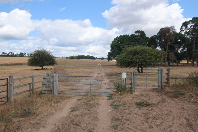
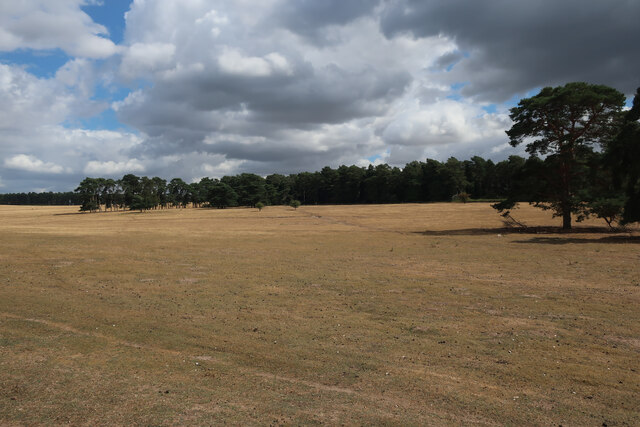
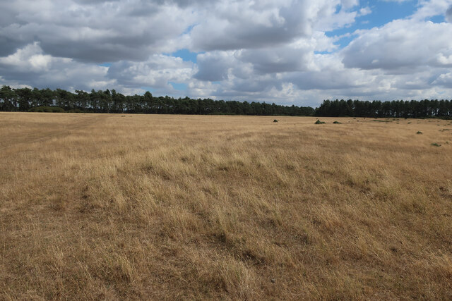
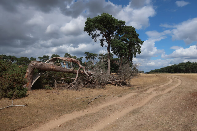
Elmbottom Belt is a picturesque woodland area located in Suffolk, England. It is known for its dense and vibrant forest, making it a popular destination for nature enthusiasts and hikers alike. The belt is situated in the heart of Suffolk, surrounded by rolling hills and meandering streams.

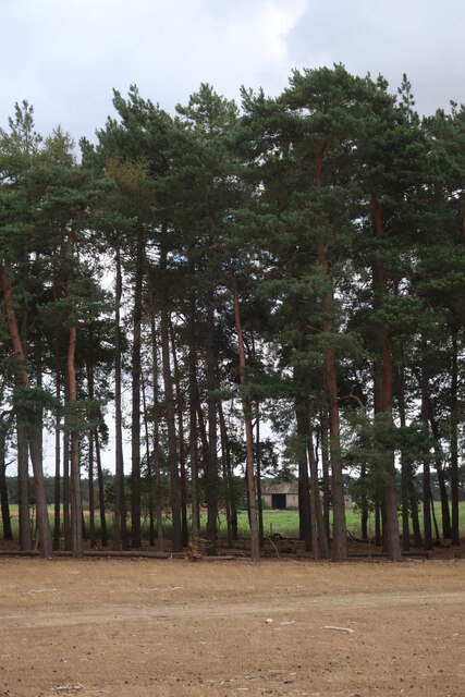
The woodland in Elmbottom Belt is predominantly composed of elm trees, which give the area its name. These majestic trees tower over the landscape, creating a canopy that provides shade and shelter for an array of wildlife. The forest floor is adorned with a diverse range of flora, including bluebells, ferns, and mosses, adding to the enchanting atmosphere of the woodland.

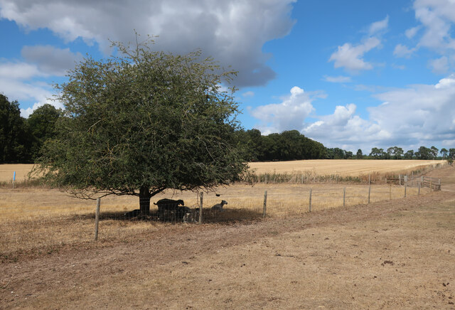
The forest is home to a variety of animal species, making it an excellent spot for wildlife spotting. Visitors may catch a glimpse of deer, rabbits, foxes, and a wide variety of bird species. The tranquil setting of Elmbottom Belt also attracts birdwatchers, who come to observe and document the avian population.

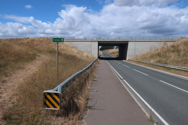
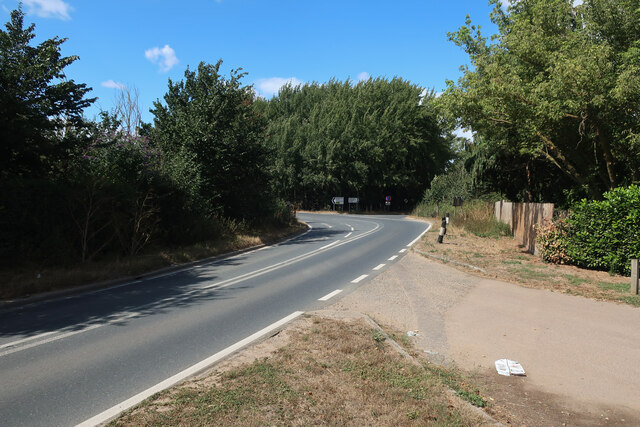
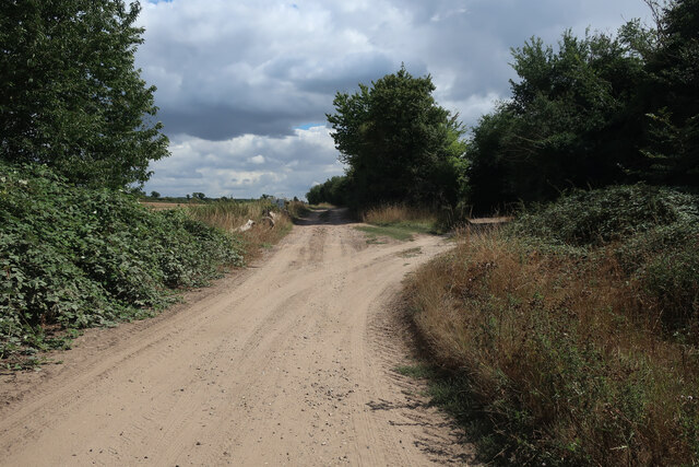
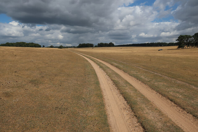
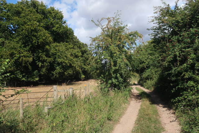
For outdoor enthusiasts, Elmbottom Belt offers a network of well-maintained trails and footpaths, allowing visitors to explore the woodland at their leisure. These paths wind through the trees, providing opportunities to enjoy the natural beauty and serenity of the area. The forest is particularly enchanting during the spring and autumn seasons, when the trees are in bloom or ablaze with vibrant colors.

Overall, Elmbottom Belt is a captivating woodland area that offers a peaceful retreat from the hustle and bustle of everyday life. Its natural beauty, diverse wildlife, and well-maintained trails make it a must-visit destination for anyone seeking a connection with nature in Suffolk.

If you have any feedback on the listing, please let us know in the comments section below.

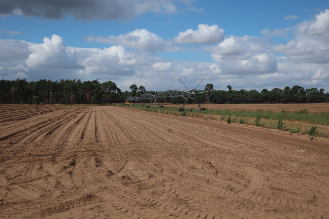
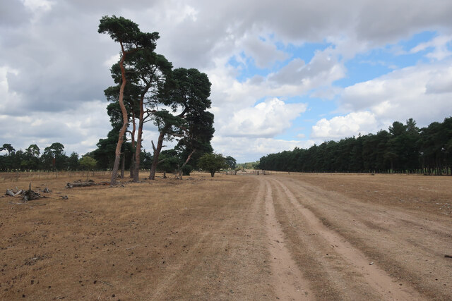
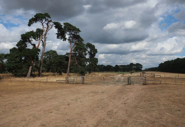
Elmbottom Belt Images

Images are sourced within 2km of 52.34267/0.59421278 or Grid Reference TL7674. Thanks to Geograph Open Source API. All images are credited.

Church of St James, Icklingham The church of St James is medieval and restored in the 19th century.  The church is Grade II* listed, see: <span class="nowrap"><a title="https://historicengland.org.uk/listing/the-list/list-entry/1037582?section=official-list-entry" rel="nofollow ugc noopener" href="https://historicengland.org.uk/listing/the-list/list-entry/1037582?section=official-list-entry">Link</a><img style="margin-left:2px;" alt="External link" title="External link - shift click to open in new window" src="https://s1.geograph.org.uk/img/external.png" width="10" height="10"/></span>
Church of St James, Icklingham
The church of St James is medieval and restored in the 19th century. The church is Grade II* listed, see: LinkExternal link
Houses in Icklingham Houses on the A1011 in the village of Icklingham.
Houses in Icklingham
Houses on the A1011 in the village of Icklingham.
A11 towards London But no longer a continuous route with that number. Taking the A14 around Newmarket is the first interruption.
A11 towards London
But no longer a continuous route with that number. Taking the A14 around Newmarket is the first interruption.
B1112 under A11 Previously a junction but that was removed when this section of the A11 was dualled, see <a href="https://www.geograph.org.uk/photo/1947215">TL7575 : Approaching the A11, B1112 junction</a>
B1112 under A11
Previously a junction but that was removed when this section of the A11 was dualled, see TL7575 : Approaching the A11, B1112 junction
B1112 under A11 Previously a junction but that was removed when this section of the A11 was dualled, see <a href="https://www.geograph.org.uk/photo/2716306">TL7575 : B1112 to Icklingham</a>. The footpath sign is to link the previous path crossing of the A11 to the underpass, see <a href="https://www.geograph.org.uk/photo/2717112">TL7475 : Tree Belt</a>
B1112 under A11
Previously a junction but that was removed when this section of the A11 was dualled, see TL7575 : B1112 to Icklingham. The footpath sign is to link the previous path crossing of the A11 to the underpass, see TL7475 : Tree Belt
A1101 out of Icklingham
Byway by Icklingham
Byway by Icklingham
Byway through Deadman's Grave Open access land, but closed except for the byway from the start of March to the end of October to protect rare and ground-nesting birds.
Byway through Deadman's Grave
Open access land, but closed except for the byway from the start of March to the end of October to protect rare and ground-nesting birds.
Byway onto Deadman's Grave
Deadman's Grave Grassy warren north of Icklingham. Open access land, but closed except for the byway from the start of March to the end of October to protect rare and ground-nesting birds.
Deadman's Grave
Grassy warren north of Icklingham. Open access land, but closed except for the byway from the start of March to the end of October to protect rare and ground-nesting birds.
Sheep in the shade Far from the hottest day of the summer but sufficient to send the sheep to seek shelter.
Sheep in the shade
Far from the hottest day of the summer but sufficient to send the sheep to seek shelter.
Byway from Icklingham
Irrigation boom by Seven Tree Road
Seven Tree Road from Deadman's Heath
Tree belt by Seven Tree Road
Seven Tree Road Byway leaving Deadman's Grave.
Seven Tree Road
Byway leaving Deadman's Grave.
Deadman's Grave Grassy warren north of Icklingham.
Deadman's Grave
Grassy warren north of Icklingham.
Byway across Deadman's Grave
Show me another place!

Elmbottom Belt is located at Grid Ref: TL7674 (Lat: 52.34267, Lng: 0.59421278)

Administrative County: Suffolk

District: West Suffolk

Police Authority: Suffolk

What 3 Words

///ducks.wasps.tramps. Near Mildenhall, Suffolk

Nearby Locations

Elmbottom Belt

Related Wikis

Deadman's Grave, Icklingham

Deadman's Grave, Icklingham is a 127.3-hectare (315-acre) biological Site of Special Scientific Interest north-east of Icklingham in Suffolk. It is a Nature...

Cavenham–Icklingham Heaths

Cavenham–Icklingham Heaths is a 419 hectare biological Site of Special Scientific Interest west of Icklingham in Suffolk. It is a Nature Conservation Review...

How Hill Track

How Hill Track is a 3.1-hectare (7.7-acre) biological Site of Special Scientific Interest east of Mildenhall in Suffolk. It is in the Breckland Special...

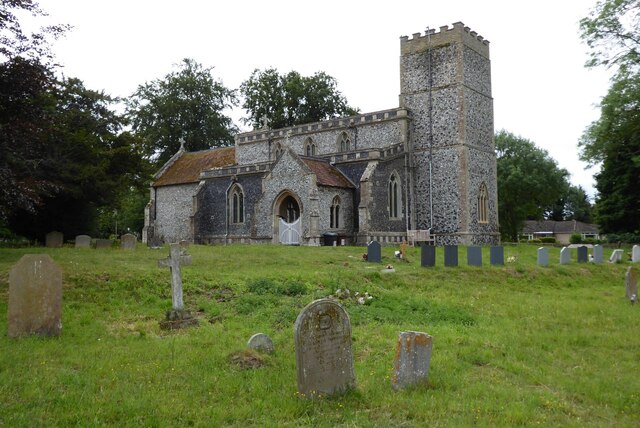
All Saints' Church, Icklingham

All Saints' Church is a redundant Anglican church in the village of Icklingham, Suffolk, England. It is recorded in the National Heritage List for England...

Nearby Amenities

Located within 500m of 52.34267,0.59421278
Power: pole
Lat/Long: 52.3399451/0.5884647
The data included in this document is from www.openstreetmap.org. The data is made available under ODbL.

Have you been to Elmbottom Belt?

Leave your review of Elmbottom Belt below (or comments, questions and feedback).