Birch Wood
Wood, Forest in Kent Maidstone
England
Birch Wood
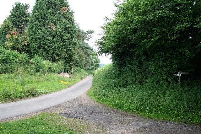
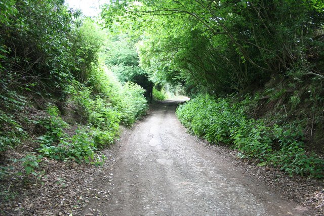
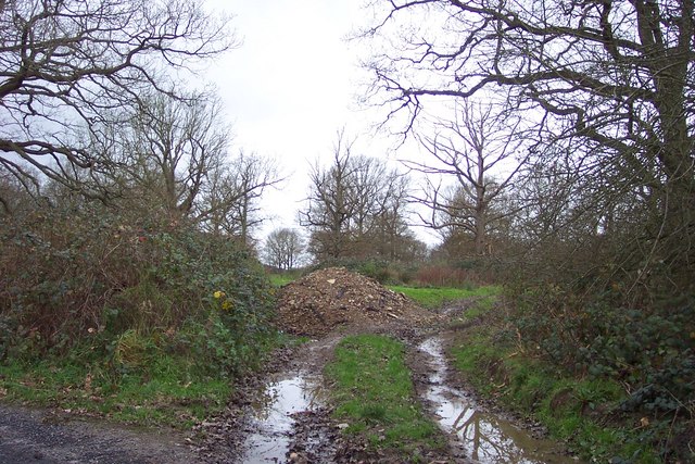
Birch Wood is located in the county of Kent, England, and is a popular destination for nature enthusiasts and outdoor activities. Covering an extensive area of woodland, the site is best known for its abundance of birch trees, which give the wood its name. The wood is part of the larger Blean Woods complex, one of the largest areas of ancient woodland in Southern England.
The birch trees in Birch Wood are predominantly silver birch (Betula pendula), with their distinctive white bark and delicate leaves. These trees create a picturesque and serene atmosphere, especially during spring and summer when the woods are in full bloom. The wood is also home to a variety of other tree species, including oak, ash, and beech, which together create a diverse and rich ecosystem.
The wood offers a wide range of activities for visitors. There are several walking and cycling trails that wind their way through the wood, providing ample opportunities for exploration and outdoor exercise. The wood is also a haven for birdwatchers, with a multitude of bird species inhabiting the area, including woodpeckers, owls, and various woodland songbirds.
In addition to its natural beauty and recreational opportunities, Birch Wood also holds historical significance. The wood has been used for centuries as a source of timber and fuel, and remnants of old charcoal platforms can still be found within the wood. These platforms were used to produce charcoal for local iron industries in the past.
Overall, Birch Wood in Kent is a wonderful destination for those seeking to connect with nature, enjoy outdoor activities, and learn about the area's rich history.
If you have any feedback on the listing, please let us know in the comments section below.
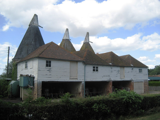
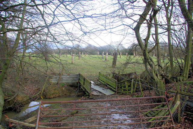
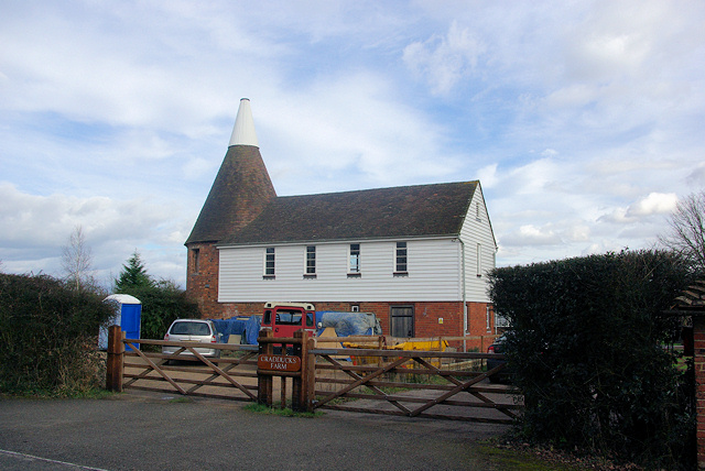
Birch Wood Images
Images are sourced within 2km of 51.141469/0.52357824 or Grid Reference TQ7641. Thanks to Geograph Open Source API. All images are credited.


Birch Wood is located at Grid Ref: TQ7641 (Lat: 51.141469, Lng: 0.52357824)
Administrative County: Kent
District: Maidstone
Police Authority: Kent
What 3 Words
///trappings.curtail.bullion. Near Staplehurst, Kent
Nearby Locations
Related Wikis

Horden, Kent
Horden is a village in the Maidstone district of Kent, England. His Majesty's Prison Blantyre House is located at Horden. The population is included in...

HM Prison Blantyre House
HM Prison Blantyre House was a Category C/D resettlement prison for men, located on the outskirts of Goudhurst in Kent, England. The prison was operated...

Curtisden Green
Curtisden Green is a hamlet, lying 3 miles (4.8 km) to the north of Goudhurst, Kent, England. It is the location of Bethany School. == References... ==

Colliers Green
Colliers Green is a village near Cranbrook in Kent, England. Colliers Green School, a Church of England primary school, is located at the centre of the...

All Saints Church, Staplehurst
All Saints Church is a parish church in the village of Staplehurst, Kent, England. It is a Grade I listed building. == Building == The church is situated...
Bethany School, Goudhurst
Bethany School is a private boarding and day school for girls and boys aged 11–18 (Year 7-11 and Sixth Form), in Goudhurst, Kent, United Kingdom. The school...
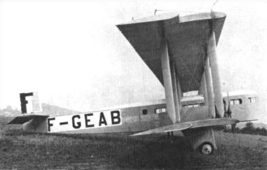
1930 Air Union Farman Goliath crash
The 1930 Air Union Farman Goliath crash occurred on 10 February 1930 when a Farman F.63 Goliath of Air Union crashed whilst attempting an emergency landing...
Marden Airfield
Marden Airfield was an airfield in Marden, Kent, United Kingdom. It was operation from 1917 to 1935. Initially a Royal Flying Corps airfield during the...
Nearby Amenities
Located within 500m of 51.141469,0.52357824Have you been to Birch Wood?
Leave your review of Birch Wood below (or comments, questions and feedback).