Ashbed Wood
Wood, Forest in Kent Maidstone
England
Ashbed Wood

Ashbed Wood is a beautiful and picturesque woodland located in the county of Kent, England. Covering an area of approximately 100 acres, it is a popular destination for nature enthusiasts, walkers, and those seeking tranquility amidst nature.
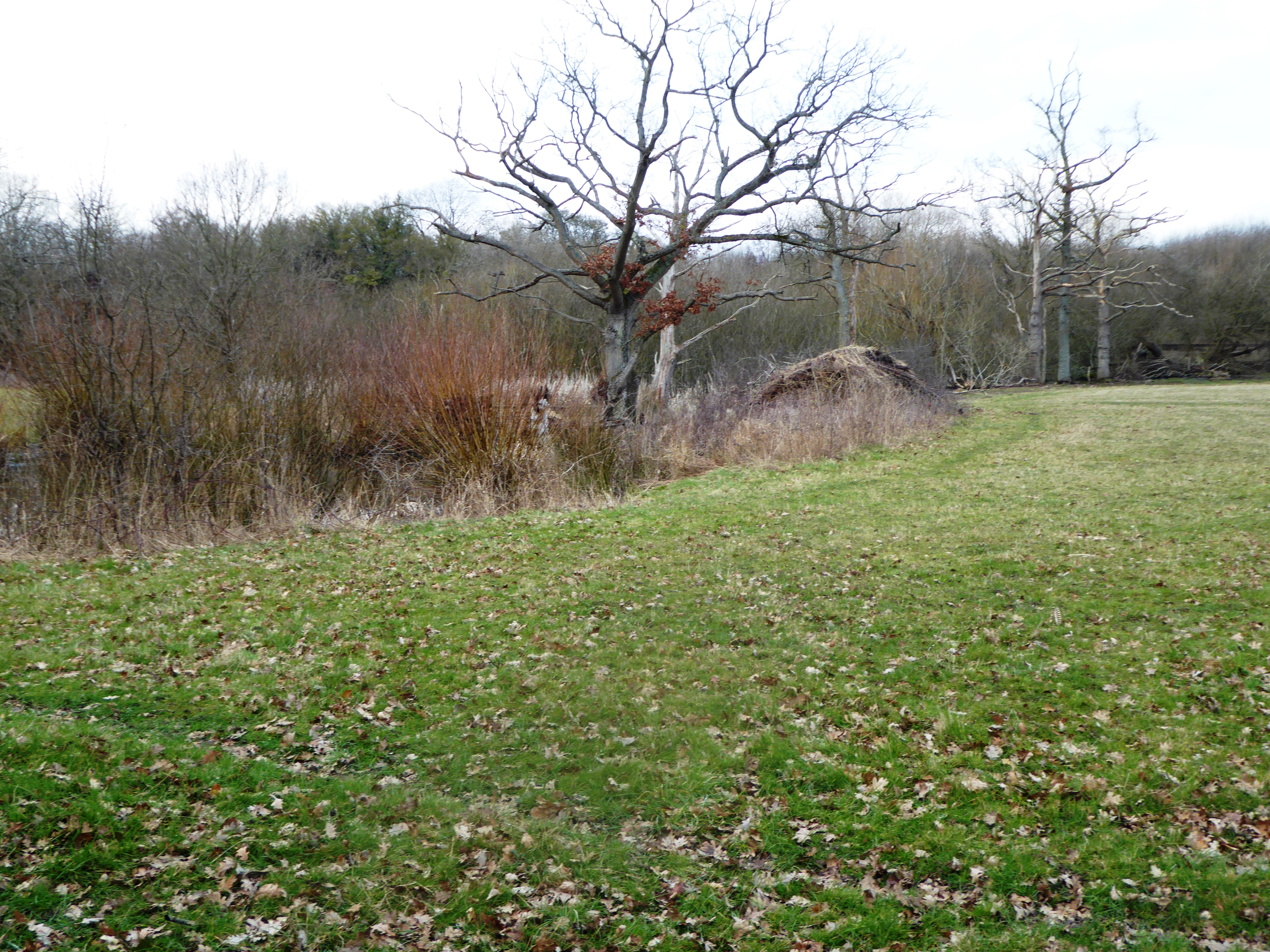
The woodland is predominantly comprised of ash trees, hence the name Ashbed Wood. These trees create a dense canopy overhead, providing shade and shelter for a diverse range of flora and fauna. The forest floor is carpeted with lush vegetation, including ferns, bluebells, and wild garlic, adding to the enchanting atmosphere.
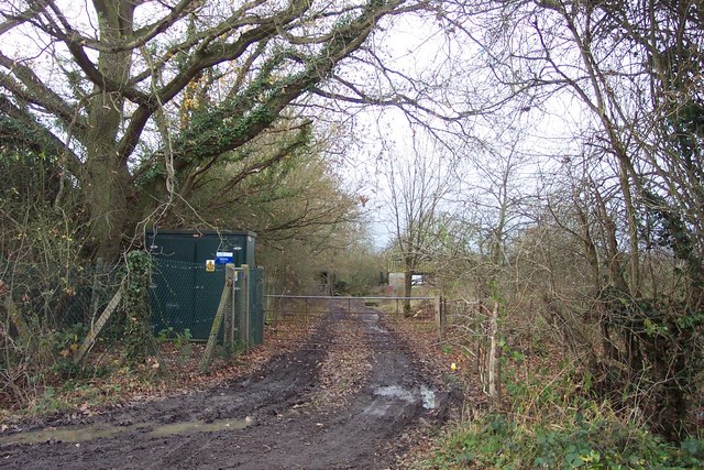
The wood is intersected by several footpaths, allowing visitors to explore its depths and discover its hidden treasures. One of the most notable features is a small stream that meanders through the woodland, adding to its charm. The stream is home to various aquatic creatures and provides a refreshing spot for visitors to sit and relax.
Ashbed Wood is not only a haven for plant life but also a sanctuary for numerous bird species. Birdwatchers can catch a glimpse of woodland birds such as woodpeckers, tits, and finches, as well as the occasional glimpse of raptors soaring overhead.
This woodland is truly a gem in the Kentish countryside, offering a peaceful retreat from the hustle and bustle of everyday life. With its diverse ecosystem, picturesque landscapes, and abundant wildlife, Ashbed Wood is a must-visit destination for anyone seeking solace in nature.
If you have any feedback on the listing, please let us know in the comments section below.
Ashbed Wood Images
Images are sourced within 2km of 51.190719/0.52571044 or Grid Reference TQ7646. Thanks to Geograph Open Source API. All images are credited.


Ashbed Wood is located at Grid Ref: TQ7646 (Lat: 51.190719, Lng: 0.52571044)
Administrative County: Kent
District: Maidstone
Police Authority: Kent
What 3 Words
///regulator.keyboard.heartened. Near Marden, Kent
Nearby Locations
Related Wikis

Vale of Kent
The Vale of Kent, located in Kent, England, is the name given to the broad clay vale between the Greensand Ridge and the High Weald. The area is drained...

Maidstone and The Weald (UK Parliament constituency)
Maidstone and The Weald is a constituency in Kent represented in the House of Commons of the UK Parliament since 2010 by Helen Grant of the Conservative...
Marden Meadows
Marden Meadows is a 3.7-hectare (9.1-acre) biological Site of Special Scientific Interest east of Marden in Kent. Part of the site is in the 5.6-hectare...

South Eastern Main Line
The South Eastern Main Line is a major long-distance railway route in South East England, UK, one of the three main routes crossing the county of Kent...
Milebush
Milebush is a hamlet about one mile (1.6 km) north of Marden in the Maidstone district of Kent, England. It lies on the B2079 road surrounded by apple...

1930 Air Union Farman Goliath crash
The 1930 Air Union Farman Goliath crash occurred on 10 February 1930 when a Farman F.63 Goliath of Air Union crashed whilst attempting an emergency landing...
Marden Airfield
Marden Airfield was an airfield in Marden, Kent, United Kingdom. It was operation from 1917 to 1935. Initially a Royal Flying Corps airfield during the...

Staplehurst railway station
Staplehurst railway station is on the South Eastern Main Line in England, serving the village of Staplehurst, Kent. It is 41 miles 70 chains (67.4 km)...
Nearby Amenities
Located within 500m of 51.190719,0.52571044Have you been to Ashbed Wood?
Leave your review of Ashbed Wood below (or comments, questions and feedback).