Four Acre Wood
Wood, Forest in Kent Tunbridge Wells
England
Four Acre Wood
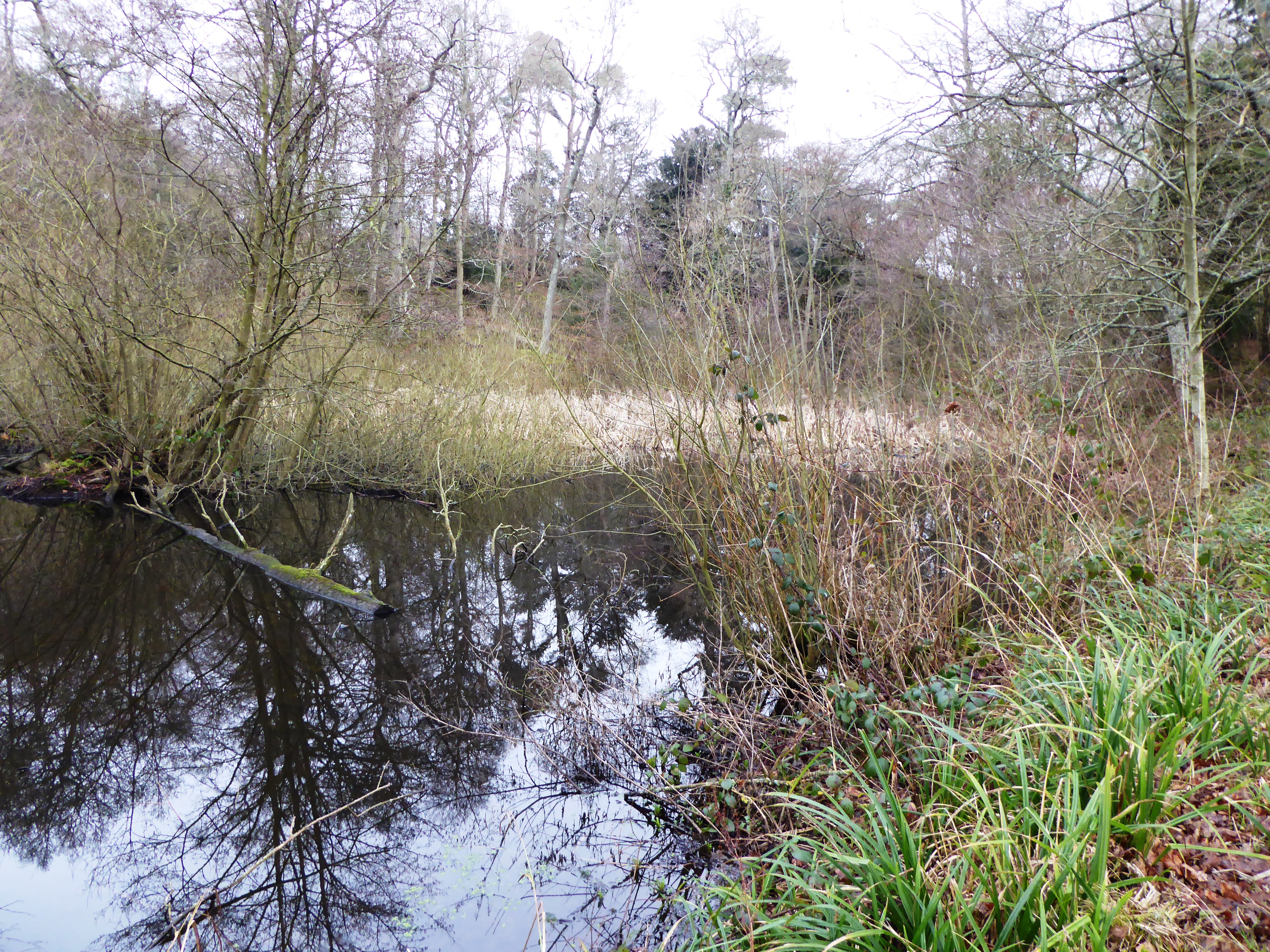
Four Acre Wood, located in Kent, is a picturesque woodland spanning approximately four acres. Situated in the southeastern part of England, this serene forest is a popular destination for nature lovers and outdoor enthusiasts alike.
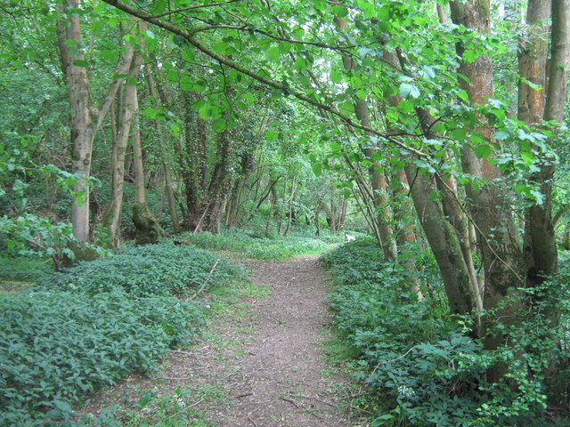
The wood is characterized by a diverse range of tree species, including oak, ash, beech, and hawthorn. These majestic trees create a dense canopy that provides shade and shelter to an array of wildlife. Birdsong can be heard throughout the year, with species such as woodpeckers, tits, and finches making their homes in the woodland.
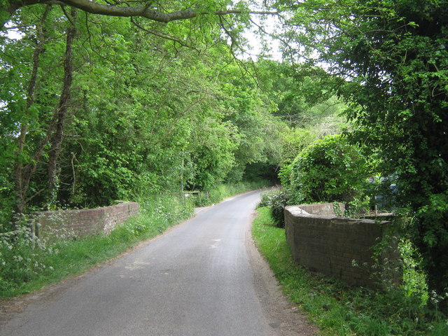
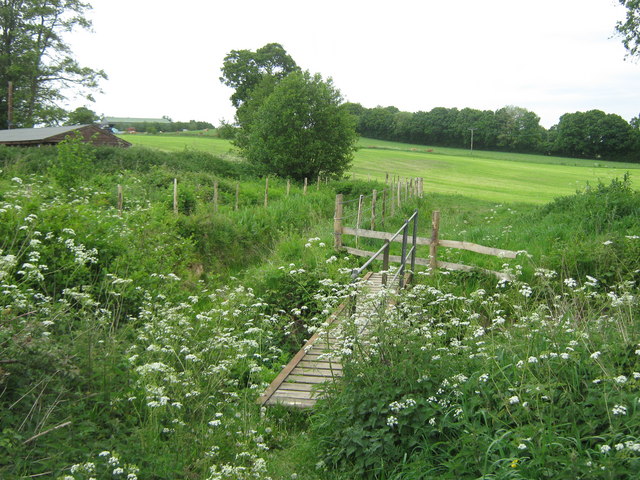
Tranquil walking paths wind through Four Acre Wood, allowing visitors to explore its beauty at their own pace. The trails meander through the dense vegetation, offering glimpses of wildflowers, ferns, and moss-covered rocks along the way. As visitors venture deeper into the wood, they may stumble upon a small pond or stream, adding to the enchanting atmosphere.
Four Acre Wood is a haven for wildlife, with a variety of creatures calling it home. Squirrels can be spotted darting between the trees, while rabbits and foxes often make appearances in the early morning or late afternoon. The wood is also home to a diverse range of insects, including butterflies, dragonflies, and beetles.
Due to its natural beauty and tranquility, Four Acre Wood is a popular spot for nature walks, picnics, and photography. Visitors can immerse themselves in the peaceful surroundings, escaping the hustle and bustle of everyday life. Whether it is for a leisurely stroll or a closer look at the local flora and fauna, Four Acre Wood offers a delightful outdoor experience for all who visit.
If you have any feedback on the listing, please let us know in the comments section below.
Four Acre Wood Images
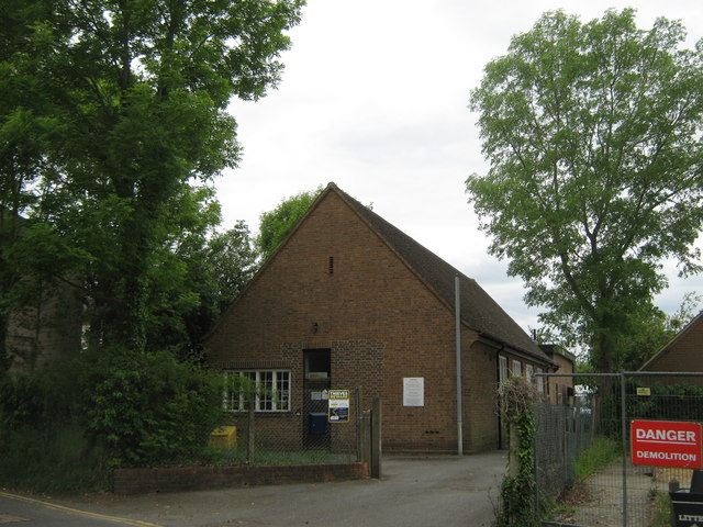
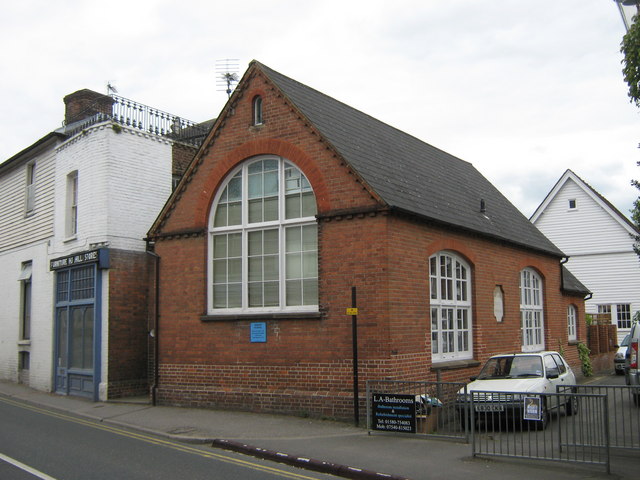
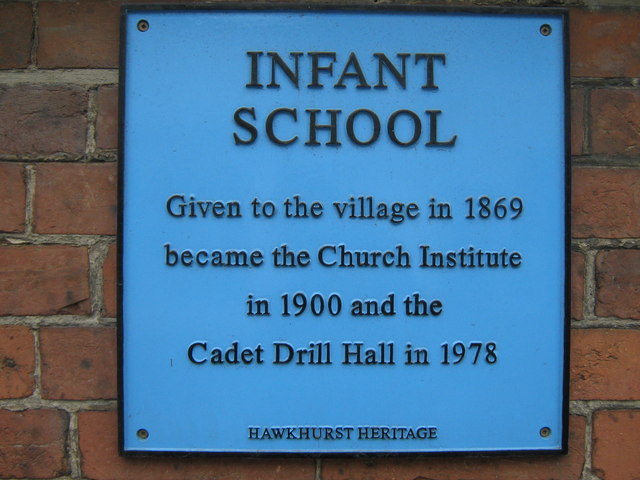
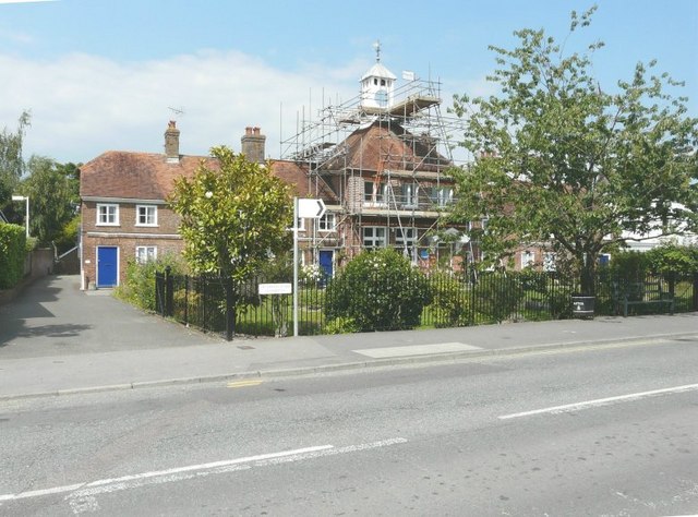
Images are sourced within 2km of 51.040918/0.51605455 or Grid Reference TQ7629. Thanks to Geograph Open Source API. All images are credited.


Four Acre Wood is located at Grid Ref: TQ7629 (Lat: 51.040918, Lng: 0.51605455)
Administrative County: Kent
District: Tunbridge Wells
Police Authority: Kent
What 3 Words
///political.contexts.door. Near Hawkhurst, Kent
Nearby Locations
Related Wikis

Hawkhurst
Hawkhurst is a village and civil parish in the borough of Tunbridge Wells in Kent, England. The village is located close to the border with East Sussex...
Collingwood Nature Reserve
Collingwood is a 3-hectare (7.4-acre) nature reserve south of Hawkhurst in Kent. It is managed by the Kent Wildlife Trust.This reserve is woodland which...

Hawkhurst Moor
Hawkhurst Moor is a village green and sports field at Hawkhurst in Kent. It was the centre of the original village and lies to the south of the modern...

Marlborough House School
Marlborough House School is a co-educational preparatory school situated in 34 acres (14 ha) of countryside in Hawkhurst, Kent. The school currently has...
Beal's Green
Beal's Green is a hamlet north of Hawkhurst in Kent, South East England.
Hawkhurst railway station
Hawkhurst railway station was on the closed Hawkhurst Branch in Kent, England. == Background == The station was opened on 4 September 1893, when the line...
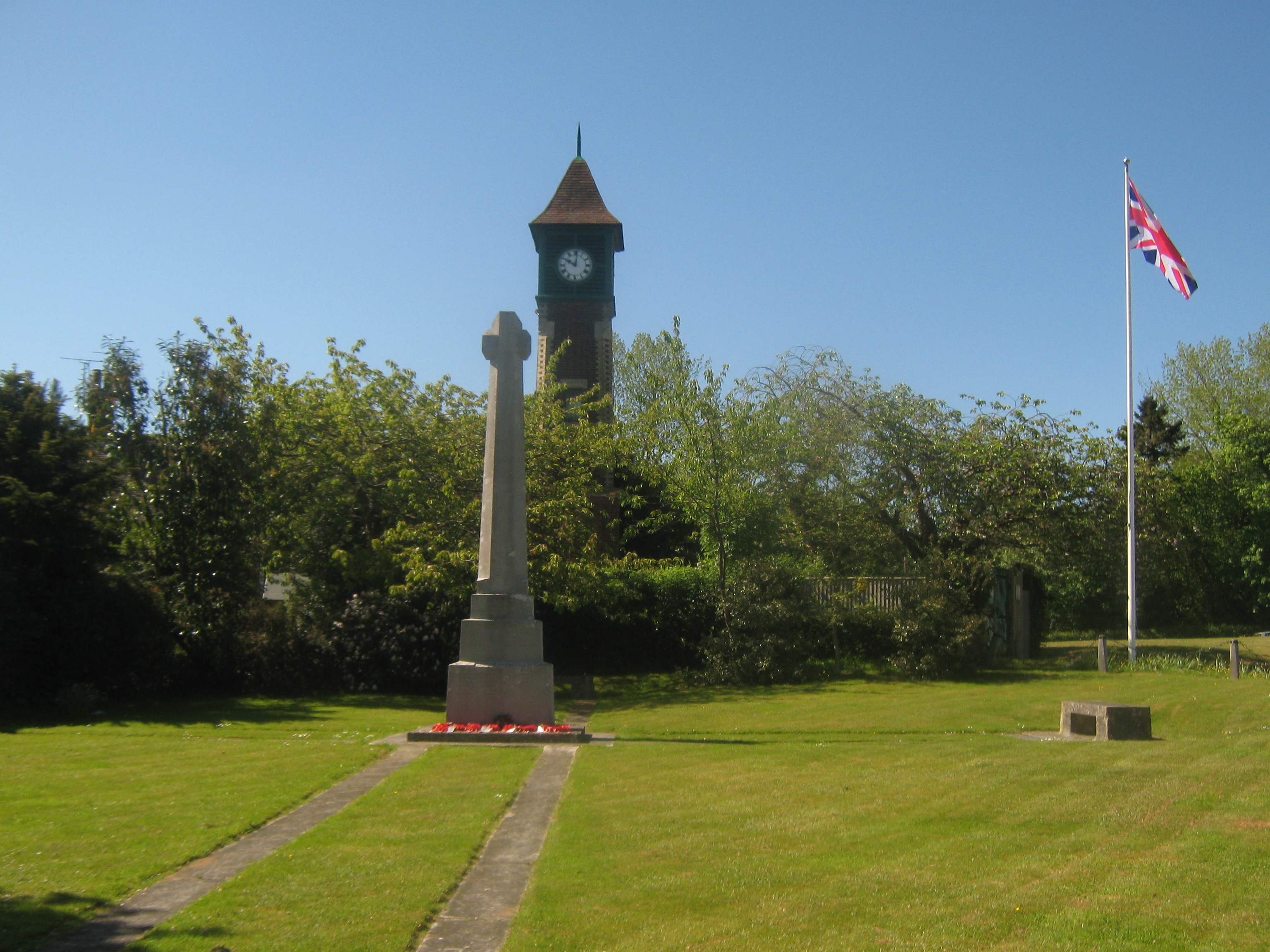
Sandhurst War Memorial
Sandhurst War Memorial is a First World War memorial in the village of Sandhurst in Kent, south-eastern England, close to the border with East Sussex....
Sandhurst, Kent
Sandhurst is a village in the borough of Tunbridge Wells in Kent, England, close to the border with East Sussex. It is situated on the A268 road near the...
Nearby Amenities
Located within 500m of 51.040918,0.51605455Have you been to Four Acre Wood?
Leave your review of Four Acre Wood below (or comments, questions and feedback).