Dreadnought Belt

Wood, Forest in Norfolk King's Lynn and West Norfolk

England

Dreadnought Belt

Approaching Bradmoor Hill, Narford
Approaching Bradmoor Hill, Narford Credit: Evelyn Simak

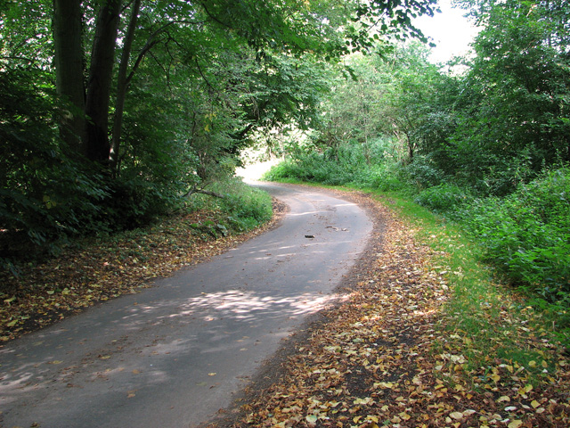
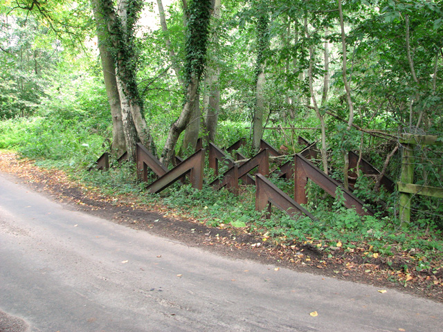
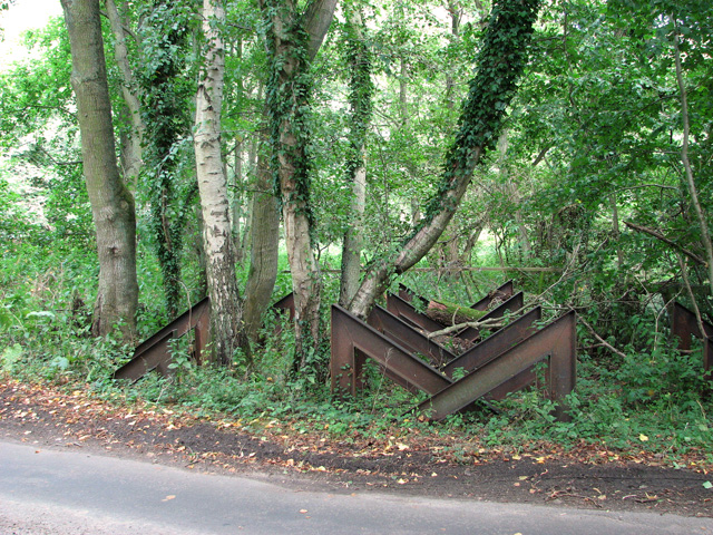
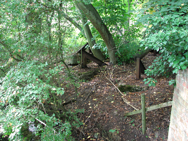
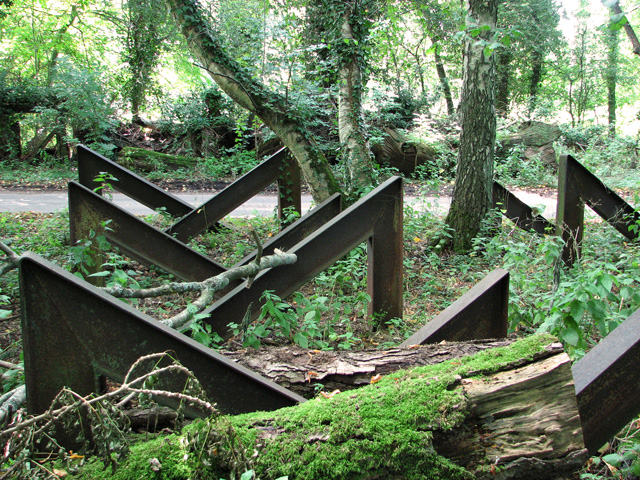
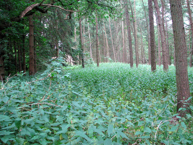
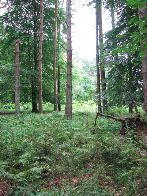
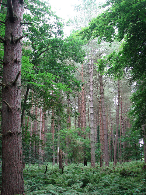
Dreadnought Belt is a scenic woodland located in Norfolk, England. Covering an area of approximately 200 acres, it is a well-preserved forest that offers visitors a serene and natural environment to explore.

The woodland is named after the HMS Dreadnought, a famous battleship that was built in 1906. The ship played a significant role in naval history and its name was chosen to honor its legacy. The forest is situated near the village of Woodbastwick, about 12 miles east of Norwich.

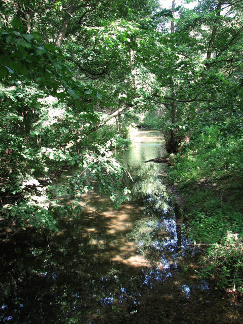
Dreadnought Belt is known for its diverse range of trees, including oak, beech, and pine, which provide a rich habitat for various wildlife. The forest also boasts an array of enchanting wildflowers that bloom during the spring and summer months, adding bursts of color to the landscape.

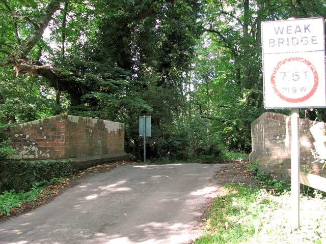
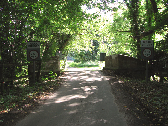
Visitors to Dreadnought Belt can enjoy a variety of activities such as walking, hiking, and birdwatching. There are well-maintained trails that meander through the woodland, allowing visitors to immerse themselves in the peaceful surroundings.

The forest is also home to a variety of bird species, including woodpeckers, owls, and various songbirds. Birdwatchers will find plenty of opportunities to observe and appreciate these winged creatures in their natural habitat.

Overall, Dreadnought Belt offers nature enthusiasts and outdoor lovers a tranquil retreat from the hustle and bustle of everyday life. Whether it's a leisurely stroll through the woods or a chance to spot some fascinating wildlife, this woodland in Norfolk is a true gem of natural beauty.

If you have any feedback on the listing, please let us know in the comments section below.

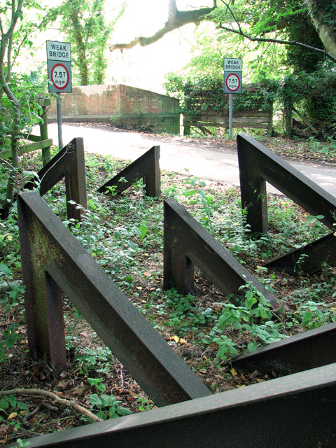
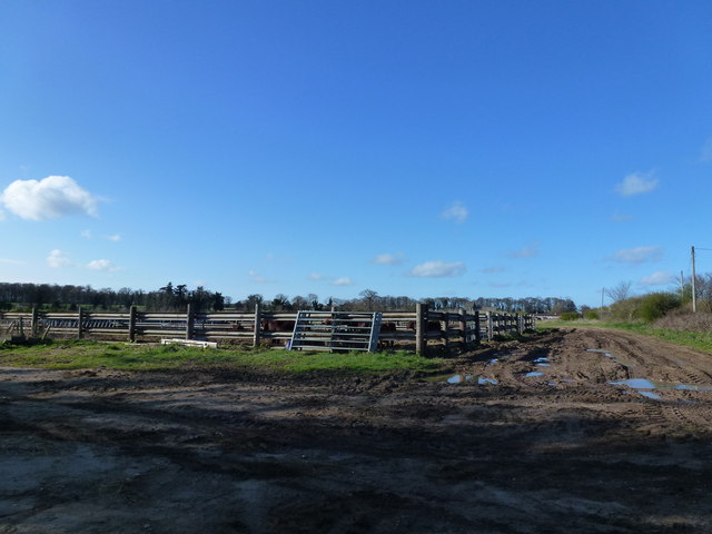
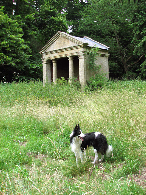
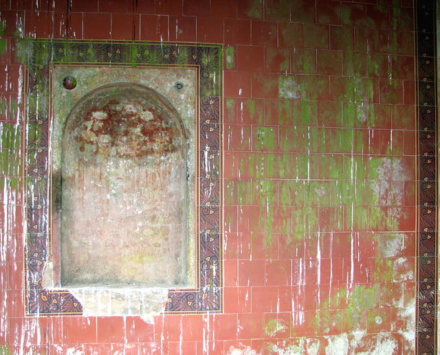
Dreadnought Belt Images

Images are sourced within 2km of 52.716166/0.60927854 or Grid Reference TF7616. Thanks to Geograph Open Source API. All images are credited.

Approaching Bradmoor Hill, Narford
Bridge over the River Nar, Narford
The River Nar north of Narford Hall
A group of hairpin tank traps beside the River Nar, Narford This unusual and, so I believe, quite unique group comprising 36 hairpin tank traps formed part of the Eastern Command: II Corps Line B. This defence line ran from Southwold via Harleston on the Suffolk-Norfolk border through Attleborough, Watton and Swaffham in Norfolk and then continued on to King's Lynn. Not a conventional stop line but one centred around main roads offering no definite obstacle. All towns forming way points on the line and villages within a mile either side were to be prepared for defence. DOB site reference: S0002193.
A group of hairpin tank traps beside the River Nar, Narford
This unusual and, so I believe, quite unique group comprising 36 hairpin tank traps formed part of the Eastern Command: II Corps Line B. This defence line ran from Southwold via Harleston on the Suffolk-Norfolk border through Attleborough, Watton and Swaffham in Norfolk and then continued on to King's Lynn. Not a conventional stop line but one centred around main roads offering no definite obstacle. All towns forming way points on the line and villages within a mile either side were to be prepared for defence. DOB site reference: S0002193.
Trank traps, Narford This unusual and, so I believe, quite unique group comprising 36 hairpin tank traps formed part of the Eastern Command: II Corps Line B. This defence line ran from Southwold via Harleston on the Suffolk-Norfolk border through Attleborough, Watton and Swaffham in Norfolk and then continued on to King's Lynn. Not a conventional stop line but one centred around main roads offering no definite obstacle. All towns forming way points on the line and villages within a mile either side were to be prepared for defence. DOB site reference: S0002193.
Trank traps, Narford
This unusual and, so I believe, quite unique group comprising 36 hairpin tank traps formed part of the Eastern Command: II Corps Line B. This defence line ran from Southwold via Harleston on the Suffolk-Norfolk border through Attleborough, Watton and Swaffham in Norfolk and then continued on to King's Lynn. Not a conventional stop line but one centred around main roads offering no definite obstacle. All towns forming way points on the line and villages within a mile either side were to be prepared for defence. DOB site reference: S0002193.
Tank traps, Narford This unusual and, so I believe, quite unique group comprising 36 hairpin tank traps formed part of the Eastern Command: II Corps Line B. This defence line ran from Southwold via Harleston on the Suffolk-Norfolk border through Attleborough, Watton and Swaffham in Norfolk and then continued on to King's Lynn. Not a conventional stop line but one centred around main roads offering no definite obstacle. All towns forming way points on the line and villages within a mile either side were to be prepared for defence. DOB site reference: S0002193.
Tank traps, Narford
This unusual and, so I believe, quite unique group comprising 36 hairpin tank traps formed part of the Eastern Command: II Corps Line B. This defence line ran from Southwold via Harleston on the Suffolk-Norfolk border through Attleborough, Watton and Swaffham in Norfolk and then continued on to King's Lynn. Not a conventional stop line but one centred around main roads offering no definite obstacle. All towns forming way points on the line and villages within a mile either side were to be prepared for defence. DOB site reference: S0002193.
Cattle yard near Soigne Farm, West Acre, Norfolk
Disused summer house in Bradmoor Plantation, Narford Originally located within Narford Park, this 19th century garden temple now stands well outside the park, the area of which has since been reduced. The temple is built from gault brick.  It has a slate roof and a pediment supported by two Tuscan columns. For a view of Narford Hall taken from this spot see > <a title="https://www.geograph.org.uk/photo/3555022" href="https://www.geograph.org.uk/photo/3555022">Link</a>.
Disused summer house in Bradmoor Plantation, Narford
Originally located within Narford Park, this 19th century garden temple now stands well outside the park, the area of which has since been reduced. The temple is built from gault brick. It has a slate roof and a pediment supported by two Tuscan columns. For a view of Narford Hall taken from this spot see > Link.
Disused summer house in Bradmoor Plantation, Narford Empty image niche.  For a view of the summer house see > <a title="https://www.geograph.org.uk/photo/3555003" href="https://www.geograph.org.uk/photo/3555003">Link</a>.
Disused summer house in Bradmoor Plantation, Narford
Empty image niche. For a view of the summer house see > Link.
Disused summer house in Bradmoor Plantation, Narford Broken tiles.  For a view of the summer house see > <a title="https://www.geograph.org.uk/photo/3555003" href="https://www.geograph.org.uk/photo/3555003">Link</a>.
Disused summer house in Bradmoor Plantation, Narford
Broken tiles. For a view of the summer house see > Link.
Disused summer house in Bradmoor Plantation, Narford It stands at the end of what appears to once have been an avenue, now overgrown with nettles, about 1 1/2 kilometres to the north of Narford Hall >  <a title="https://www.geograph.org.uk/photo/3555022" href="https://www.geograph.org.uk/photo/3555022">Link</a>. Originally located within Narford Park, this 19th century garden temple now stands well outside the park, the area of which has since been reduced. The temple is built from gault brick.  It has a slate roof and a pediment supported by two Tuscan columns.
Disused summer house in Bradmoor Plantation, Narford
It stands at the end of what appears to once have been an avenue, now overgrown with nettles, about 1 1/2 kilometres to the north of Narford Hall > Link. Originally located within Narford Park, this 19th century garden temple now stands well outside the park, the area of which has since been reduced. The temple is built from gault brick. It has a slate roof and a pediment supported by two Tuscan columns.
Nettles at Bradmoor Hill, Narford
On the northern edge of Bradmoor Plantation, Narford
Bradmoor Plantation, Narford
Ripening barley by Summerend Farm, Narford
Show me another place!

Dreadnought Belt is located at Grid Ref: TF7616 (Lat: 52.716166, Lng: 0.60927854)

Administrative County: Norfolk

District: King's Lynn and West Norfolk

Police Authority: Norfolk

What 3 Words

///doubts.scraper.swerves. Near Narborough, Norfolk

Related Wikis

West Acre

West Acre is a village and civil parish in the King's Lynn and West Norfolk district of the county of Norfolk, England. It covers an area of 14.49 km2...

East Walton

East Walton is a village in the English county of Norfolk. The village is located 7.8 miles (12.6 km) south-east of King's Lynn and 31 miles (50 km) north...

West Acre Priory

West Acre Priory of St. Mary and All Saints was a medieval monastic house at West Acre in the King's Lynn and West Norfolk district of Norfolk, England...

Narford

Narford is situated in the Breckland District of Norfolk and covers an area of 970 hectares (3.75 square miles). Narford village has all but disappeared...

East Walton and Adcock's Common

East Walton and Adcock's Common is a 62.4-hectare (154-acre) biological and geological Site of Special Scientific Interest south-east of King's Lynn in...
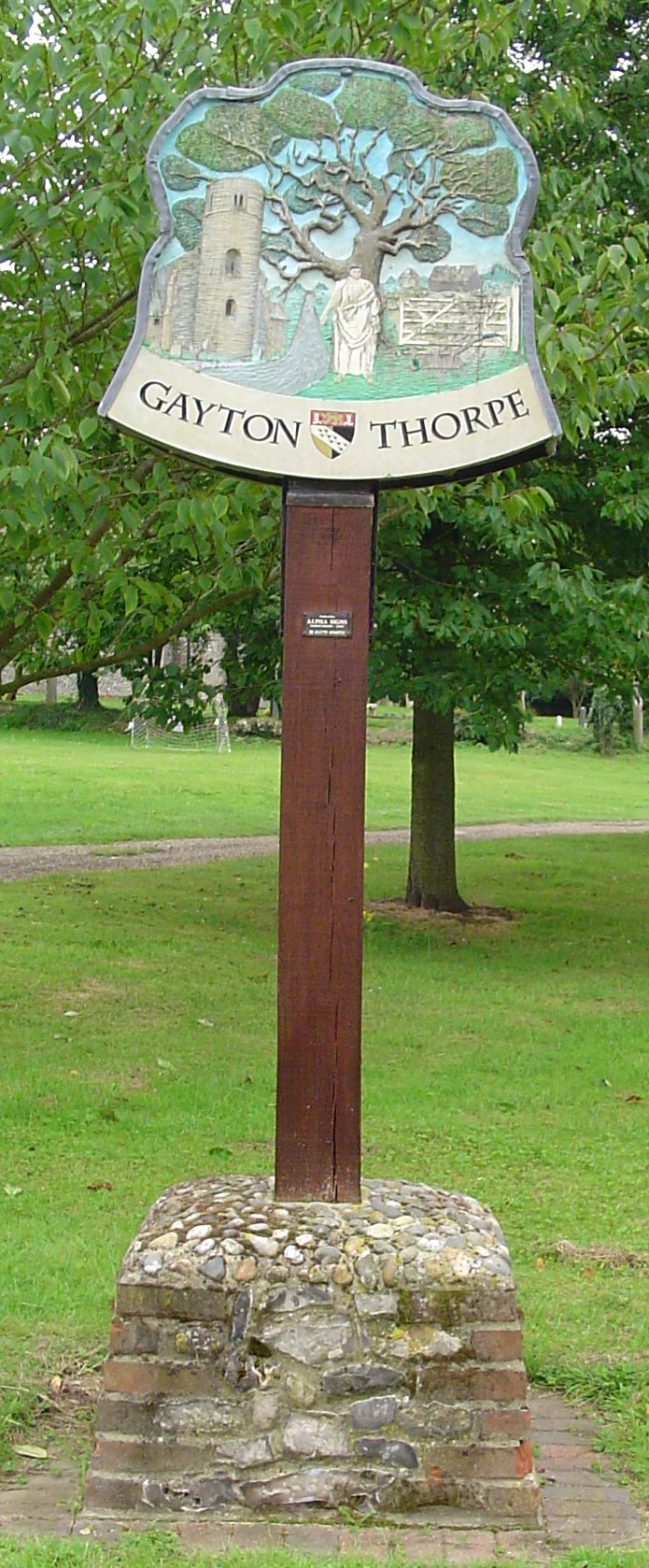
Gayton Thorpe

Gayton Thorpe is a village and former civil parish, now in the parish of Gayton, in the King's Lynn and West Norfolk district, in the county of Norfolk...

Gayton Thorpe Roman Villa

Gayton Thorpe Roman Villa is the site of a Roman villa, near Gayton Thorpe and about 5 miles (8 km) east of King's Lynn, in Norfolk, England. It was discovered...

Narborough Watermill

Narborough Watermill is located on the river Nar, within the village of Narborough in the English county of Norfolk. The watermill is thought to have been...

Have you been to Dreadnought Belt?

Leave your review of Dreadnought Belt below (or comments, questions and feedback).