Belvedere Wood

Wood, Forest in Norfolk Breckland

England

Belvedere Wood

A Glimpse of Norfolk From the woodland walk at Gravelpit Wood.
A Glimpse of Norfolk Credit: David Bremner

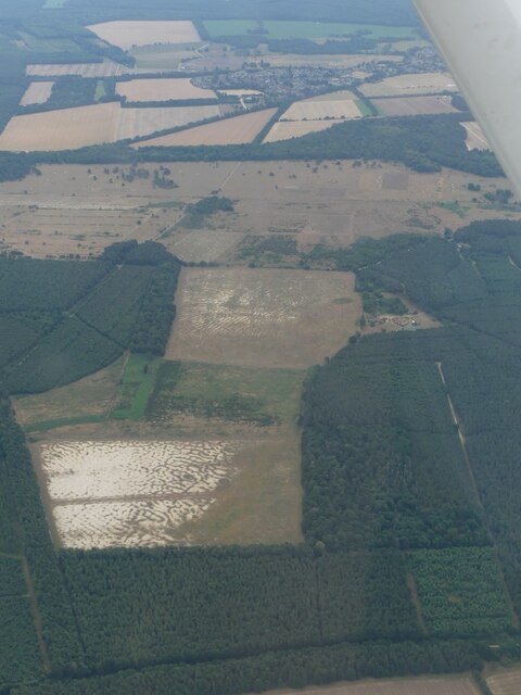
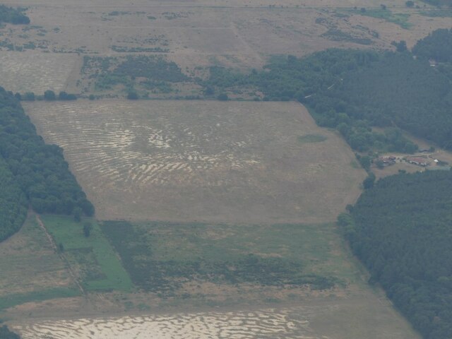
Belvedere Wood, located in Norfolk, England, is a picturesque forest that covers an area of approximately 200 acres. This woodland is nestled in the heart of the Norfolk countryside and is known for its tranquil atmosphere and diverse ecosystem.

The forest is primarily composed of mixed deciduous trees, including oak, beech, and ash, which create a vibrant and ever-changing landscape throughout the seasons. The dense canopy provides a haven for a wide variety of wildlife, including deer, foxes, and numerous bird species.

Belvedere Wood offers an extensive network of walking trails, allowing visitors to explore the beauty of the forest at their own pace. These pathways wind through the trees, offering breathtaking views of the surrounding countryside and providing ample opportunities for nature enthusiasts and photographers to capture the essence of the woodland.

For those seeking a more immersive experience, camping facilities are available within the forest, allowing visitors to spend the night under the starry sky, surrounded by the peaceful sounds of nature. Additionally, the wood offers designated picnic areas, making it an ideal spot for families and groups to enjoy a day out in the countryside.

Belvedere Wood is managed by a dedicated team of conservationists who strive to maintain the natural integrity of the forest while providing a safe and enjoyable environment for visitors. Educational programs and guided tours are also offered, allowing individuals to learn about the importance of conservation and the diverse wildlife that calls the forest home.

In conclusion, Belvedere Wood in Norfolk offers a serene and enchanting setting for nature lovers and outdoor enthusiasts to explore and appreciate the beauty of the English countryside.

If you have any feedback on the listing, please let us know in the comments section below.

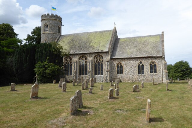
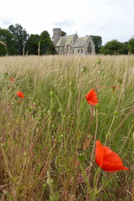
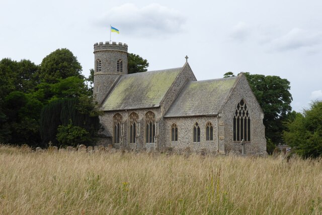
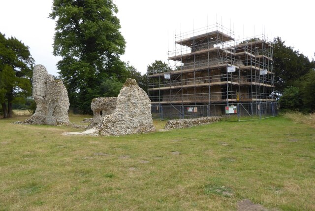
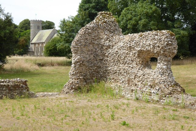
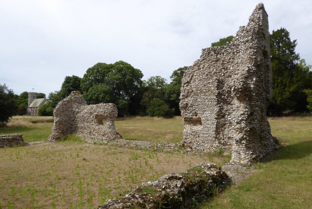
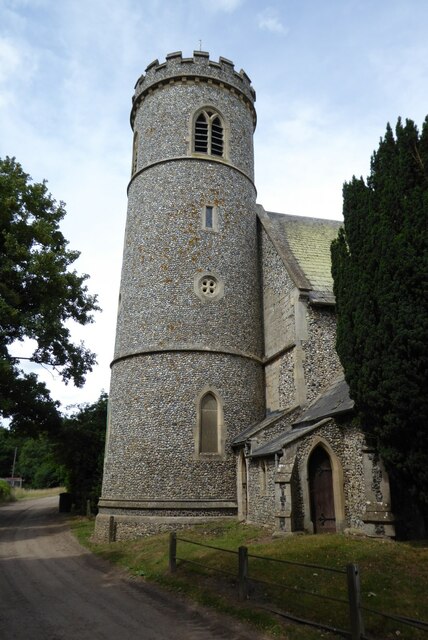
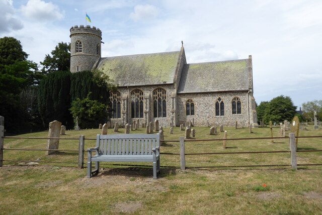
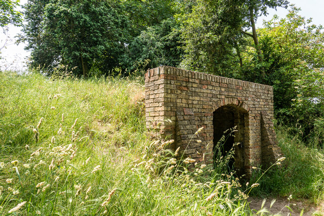
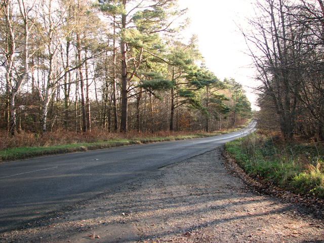
Belvedere Wood Images

Images are sourced within 2km of 52.473402/0.59379867 or Grid Reference TL7689. Thanks to Geograph Open Source API. All images are credited.

A Glimpse of Norfolk From the woodland walk at Gravelpit Wood.
A Glimpse of Norfolk
From the woodland walk at Gravelpit Wood.
St Mary's church, Weeting St Mary's church in Weeting is Grade II* listed, see: <span class="nowrap"><a title="https://historicengland.org.uk/listing/the-list/list-entry/1172178?section=official-list-entry" rel="nofollow ugc noopener" href="https://historicengland.org.uk/listing/the-list/list-entry/1172178?section=official-list-entry">Link</a><img style="margin-left:2px;" alt="External link" title="External link - shift click to open in new window" src="https://s1.geograph.org.uk/img/external.png" width="10" height="10"/></span>
St Mary's church, Weeting
St Mary's church in Weeting is Grade II* listed, see: LinkExternal link
Poppies and Weeting Church Poppies in the foreground and St Mary's church in Weeting in the background.  The church is Grade II* listed, see: <span class="nowrap"><a title="https://historicengland.org.uk/listing/the-list/list-entry/1172178?section=official-list-entry" rel="nofollow ugc noopener" href="https://historicengland.org.uk/listing/the-list/list-entry/1172178?section=official-list-entry">Link</a><img style="margin-left:2px;" alt="External link" title="External link - shift click to open in new window" src="https://s1.geograph.org.uk/img/external.png" width="10" height="10"/></span>
Poppies and Weeting Church
Poppies in the foreground and St Mary's church in Weeting in the background. The church is Grade II* listed, see: LinkExternal link
St Mary's church, Weeting St Mary's church in Weeting is Grade II* listed, see: <span class="nowrap"><a title="https://historicengland.org.uk/listing/the-list/list-entry/1172178?section=official-list-entry" rel="nofollow ugc noopener" href="https://historicengland.org.uk/listing/the-list/list-entry/1172178?section=official-list-entry">Link</a><img style="margin-left:2px;" alt="External link" title="External link - shift click to open in new window" src="https://s1.geograph.org.uk/img/external.png" width="10" height="10"/></span>
St Mary's church, Weeting
St Mary's church in Weeting is Grade II* listed, see: LinkExternal link
Weeting Castle Much of Weeting Castle which is in the care of English Heritage is currently under scaffolding due to structural weakness.
Weeting Castle
Much of Weeting Castle which is in the care of English Heritage is currently under scaffolding due to structural weakness.
Weeting Castle and church The ruins of Weeting Castle is in the foreground with St Mary's church in the background.
Weeting Castle and church
The ruins of Weeting Castle is in the foreground with St Mary's church in the background.
Weeting Castle and church The ruins of Weeting Castle is in the foreground with St Mary's church in the background.
Weeting Castle and church
The ruins of Weeting Castle is in the foreground with St Mary's church in the background.
Tower of Weeting Church The round tower of St Mary's church in Weeting.  The church is Grade II* listed, see: <span class="nowrap"><a title="https://historicengland.org.uk/listing/the-list/list-entry/1172178?section=official-list-entry" rel="nofollow ugc noopener" href="https://historicengland.org.uk/listing/the-list/list-entry/1172178?section=official-list-entry">Link</a><img style="margin-left:2px;" alt="External link" title="External link - shift click to open in new window" src="https://s1.geograph.org.uk/img/external.png" width="10" height="10"/></span>
Tower of Weeting Church
The round tower of St Mary's church in Weeting. The church is Grade II* listed, see: LinkExternal link
Weeting Church St Mary's church in Weeting is Grade II* listed, see: <span class="nowrap"><a title="https://historicengland.org.uk/listing/the-list/list-entry/1172178?section=official-list-entry" rel="nofollow ugc noopener" href="https://historicengland.org.uk/listing/the-list/list-entry/1172178?section=official-list-entry">Link</a><img style="margin-left:2px;" alt="External link" title="External link - shift click to open in new window" src="https://s1.geograph.org.uk/img/external.png" width="10" height="10"/></span>
Weeting Church
St Mary's church in Weeting is Grade II* listed, see: LinkExternal link
Patterned ground near Feltwell: aerial 2022 (1)
Patterned ground near Feltwell: aerial 2022 (2)
Patterned ground near Feltwell: aerial 2022 (3) Shown up by the dry conditions.
Patterned ground near Feltwell: aerial 2022 (3)
Shown up by the dry conditions.
Patterned ground near Feltwell: aerial 2022 (4)
St. Mary's Church, Weeting
Weeting Castle (Remains) It was built around 1180 by Hugh de Plais, and comprised a three-storey tower, a substantial hall, and a service block, with a separate kitchen positioned near the house. A moat was later dug around the site in the 13th century. The house was not fortified, although it drew on architectural features typically found in castles of the period.

Weeting Castle ceased to be used in the late 14th century and fell into decay.

<span class="nowrap"><a title="https://en.wikipedia.org/wiki/Weeting_Castle" rel="nofollow ugc noopener" href="https://en.wikipedia.org/wiki/Weeting_Castle">Link</a><img style="margin-left:2px;" alt="External link" title="External link - shift click to open in new window" src="https://s1.geograph.org.uk/img/external.png" width="10" height="10"/></span>
Weeting Castle (Remains)
It was built around 1180 by Hugh de Plais, and comprised a three-storey tower, a substantial hall, and a service block, with a separate kitchen positioned near the house. A moat was later dug around the site in the 13th century. The house was not fortified, although it drew on architectural features typically found in castles of the period. Weeting Castle ceased to be used in the late 14th century and fell into decay. LinkExternal link
Ice House, Weeting Castle Ice house in the grounds of the castle remains . Would have been used to store ice from the moat.
Ice House, Weeting Castle
Ice house in the grounds of the castle remains . Would have been used to store ice from the moat.
The Row, Weeting One of the longest continuous lines of thatched roofed houses in the UK. 

Grade II Listed.

Terrace of 10 dwellings. C18 and C19. Colourwashed brick with continuous thatched roof. One and a half storeys. 2-light casements and doorways beneath segmental arches. 10 eyebrow dormers to facade and approximately 20 gabled dormers to rear. Gable-end stacks and 6 axial stacks. Continuous outshut to rear.
The Row, Weeting
One of the longest continuous lines of thatched roofed houses in the UK. Grade II Listed. Terrace of 10 dwellings. C18 and C19. Colourwashed brick with continuous thatched roof. One and a half storeys. 2-light casements and doorways beneath segmental arches. 10 eyebrow dormers to facade and approximately 20 gabled dormers to rear. Gable-end stacks and 6 axial stacks. Continuous outshut to rear.
Lane past Lynnroad Covert, Weeting
Show me another place!

Belvedere Wood is located at Grid Ref: TL7689 (Lat: 52.473402, Lng: 0.59379867)

Administrative County: Norfolk

District: Breckland

Police Authority: Norfolk

What 3 Words

///heads.powerful.wordplay. Near Weeting, Norfolk

Nearby Locations

Belvedere Wood

Related Wikis

Nearby Amenities

Located within 500m of 52.473402,0.59379867
Barrier: kissing_gate
Lat/Long: 52.4744058/0.5923527
The data included in this document is from www.openstreetmap.org. The data is made available under ODbL.

Have you been to Belvedere Wood?

Leave your review of Belvedere Wood below (or comments, questions and feedback).