Crinkly Crankly Belt

Wood, Forest in Suffolk West Suffolk

England

Crinkly Crankly Belt

Patterned ground, Lakenheath Road, Mildenhall: aerial 2022 (1)
Patterned ground, Lakenheath Road, Mildenhall: aerial 2022 (1) Credit: Chris

Crinkly Crankly Belt, located in Suffolk, England, is a picturesque wood that stands as a testament to the natural beauty of the area. The forest, known for its enchanting atmosphere, is home to a diverse range of flora and fauna, making it a haven for nature enthusiasts and wildlife lovers.

Covering an area of approximately 100 acres, Crinkly Crankly Belt is characterized by its dense canopy of mature trees, including oak, beech, and ash. These towering giants provide a rich habitat for various woodland creatures, such as deer, squirrels, and a wide array of bird species. The forest floor is adorned with a colorful carpet of wildflowers, including bluebells and primroses, which bloom in the spring and add a vibrant touch to the surroundings.

The forest's meandering paths, lined with moss-covered stones, invite visitors to explore its hidden nooks and crannies. As one ventures deeper into Crinkly Crankly Belt, they may stumble upon a babbling brook, adding to the serenity and tranquility of the place. The gentle rustling of leaves and the occasional chirping of birds create a symphony of natural sounds that soothe the soul and transport visitors to a state of peace and harmony.

Crinkly Crankly Belt, with its idyllic setting and unspoiled beauty, offers a perfect retreat for individuals seeking solace in nature. Whether one wishes to take a leisurely stroll, go birdwatching, or simply sit and soak in the peaceful ambiance, this Suffolk forest promises an unforgettable experience.

If you have any feedback on the listing, please let us know in the comments section below.

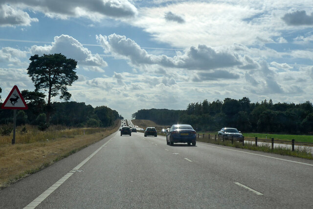
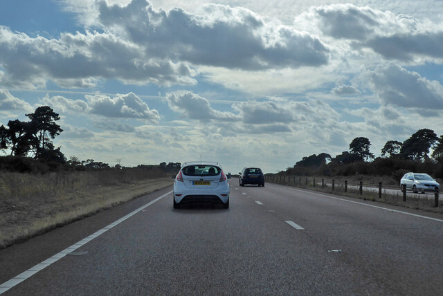
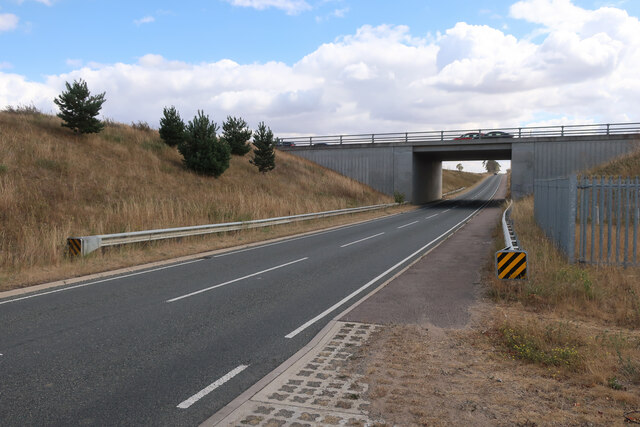
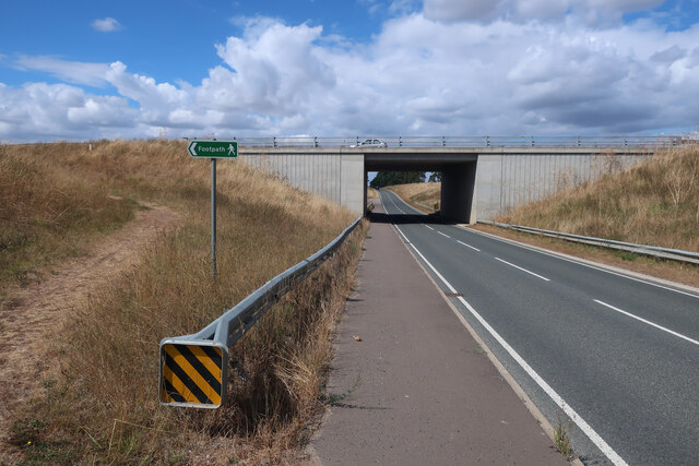
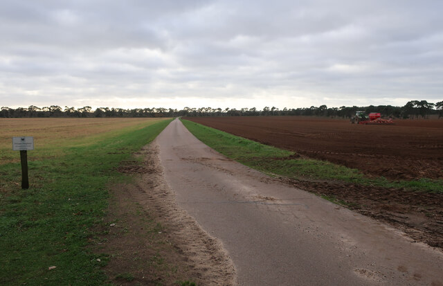
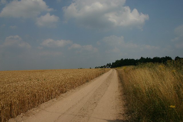
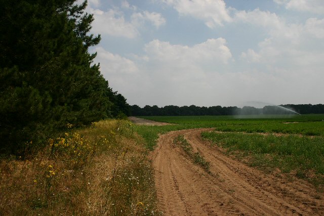
Crinkly Crankly Belt Images

Images are sourced within 2km of 52.359938/0.58548637 or Grid Reference TL7676. Thanks to Geograph Open Source API. All images are credited.

Patterned ground, Lakenheath Road, Mildenhall: aerial 2022 (1)
Patterned ground, Lakenheath Road, Mildenhall: aerial 2022 (2)
A11 towards London But no longer a continuous route with that number. Taking the A14 around Newmarket is the first interruption.
A11 towards London
But no longer a continuous route with that number. Taking the A14 around Newmarket is the first interruption.
A11 towards London But no longer a continuous route with that number. Taking the A14 around Newmarket is the first interruption.
A11 towards London
But no longer a continuous route with that number. Taking the A14 around Newmarket is the first interruption.
B1112 under A11 Previously a junction but that was removed when this section of the A11 was dualled, see <a href="https://www.geograph.org.uk/photo/1947215">TL7575 : Approaching the A11, B1112 junction</a>
B1112 under A11
Previously a junction but that was removed when this section of the A11 was dualled, see TL7575 : Approaching the A11, B1112 junction
B1112 under A11 Previously a junction but that was removed when this section of the A11 was dualled, see <a href="https://www.geograph.org.uk/photo/2716306">TL7575 : B1112 to Icklingham</a>. The footpath sign is to link the previous path crossing of the A11 to the underpass, see <a href="https://www.geograph.org.uk/photo/2717112">TL7475 : Tree Belt</a>
B1112 under A11
Previously a junction but that was removed when this section of the A11 was dualled, see TL7575 : B1112 to Icklingham. The footpath sign is to link the previous path crossing of the A11 to the underpass, see TL7475 : Tree Belt
Farm track by Partition Belt
Shakers Road No longer a bridleway as that has been diverted to an underpass below the dualled A11.
Shakers Road
No longer a bridleway as that has been diverted to an underpass below the dualled A11.
Mildenhall Left Left turn off the A11 towards Mildenhall.
Mildenhall Left
Left turn off the A11 towards Mildenhall.
Bishop's Hill A private sandy farm track leading to Bishop's Hill.
Bishop's Hill
A private sandy farm track leading to Bishop's Hill.
Maize crop at How Hill Looking east from the B1112 towards How Hill.
Maize crop at How Hill
Looking east from the B1112 towards How Hill.
Field entrance near Chamberlain's Buildings Farm Looking east from the B1112.
Field entrance near Chamberlain's Buildings Farm
Looking east from the B1112.
Canada Farm This farm is tucked away in the heart of Breckland, well away from any metalled road.
Canada Farm
This farm is tucked away in the heart of Breckland, well away from any metalled road.
Field boundary on Elveden Estate This field is adjacent to the busy A11, but here, on the other side of a narrow strip of woodland, the road could be miles away.
Field boundary on Elveden Estate
This field is adjacent to the busy A11, but here, on the other side of a narrow strip of woodland, the road could be miles away.
Partition Belt, Elveden Estate This plantation acts as a windbreak for the large sandy fields in this area.
Partition Belt, Elveden Estate
This plantation acts as a windbreak for the large sandy fields in this area.
Bridleway on the Elveden Estate This bridleway is used mainly as a farm track and leads northwards into Thetford Forest.
Bridleway on the Elveden Estate
This bridleway is used mainly as a farm track and leads northwards into Thetford Forest.
Field boundary on the Elveden Estate Looking westwards towards Rakebottom Farm on the 23,000 acre Elveden Estate.
Field boundary on the Elveden Estate
Looking westwards towards Rakebottom Farm on the 23,000 acre Elveden Estate.
Field boundary on the Elveden Estate This line of trees runs westwards from a bridleway on the Elveden Estate, near Thetford Forest.
Field boundary on the Elveden Estate
This line of trees runs westwards from a bridleway on the Elveden Estate, near Thetford Forest.
Show me another place!

Crinkly Crankly Belt is located at Grid Ref: TL7676 (Lat: 52.359938, Lng: 0.58548637)

Administrative County: Suffolk

District: West Suffolk

Police Authority: Suffolk

What 3 Words

///gadget.bungalows.lunch. Near Mildenhall, Suffolk

Related Wikis

How Hill Track

How Hill Track is a 3.1-hectare (7.7-acre) biological Site of Special Scientific Interest east of Mildenhall in Suffolk. It is in the Breckland Special...

Weather and Horn Heaths, Eriswell

Weather and Horn Heaths, Eriswell is a 133.3-hectare (329-acre) biological Site of Special Scientific Interest east of Eriswell in Suffolk. It is a Nature...

Foxhole Heath

Foxhole Heath is an 85.2-hectare (211-acre) biological Site of Special Scientific Interest east of Eriswell in Suffolk. It is a Nature Conservation Review...

Deadman's Grave, Icklingham

Deadman's Grave, Icklingham is a 127.3-hectare (315-acre) biological Site of Special Scientific Interest north-east of Icklingham in Suffolk. It is a Nature...

Nearby Amenities

Located within 500m of 52.359938,0.58548637
Power: pole
Lat/Long: 52.3594003/0.5855237
Power: pole
Lat/Long: 52.3594921/0.5891661
Power: pole
Lat/Long: 52.359307/0.5818866
Material: wood
Power: pole
Lat/Long: 52.3595347/0.5909766
Material: wood
Power: pole
Lat/Long: 52.359343/0.5927469
Power: pole
Lat/Long: 52.3593561/0.5837802
Power: pole
Lat/Long: 52.3592627/0.5800278
Power: pole
Lat/Long: 52.3594462/0.5873261
Man Made: mast
Tower Type: communication
Lat/Long: 52.3598408/0.5857019
The data included in this document is from www.openstreetmap.org. The data is made available under ODbL.

Have you been to Crinkly Crankly Belt?

Leave your review of Crinkly Crankly Belt below (or comments, questions and feedback).