Easter Wood
Wood, Forest in Suffolk West Suffolk
England
Easter Wood
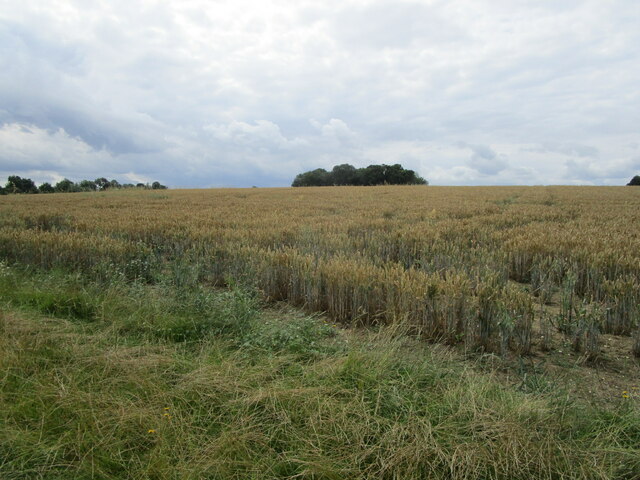
Easter Wood is a charming forest located in Suffolk, a county in the eastern part of England. Nestled amidst the picturesque countryside, this wood is renowned for its natural beauty and serene atmosphere. Spanning over a considerable area, Easter Wood is a haven for nature enthusiasts and outdoor adventurers alike.
The wood is predominantly composed of various species of trees, including oak, beech, and birch. The dense canopy formed by these towering trees provides a cool and refreshing ambiance, making it an ideal destination for those seeking respite from the hustle and bustle of city life.
Easter Wood is home to a rich diversity of flora and fauna. The forest floor is adorned with a vibrant carpet of wildflowers, while moss-covered rocks and fallen logs create the perfect habitat for a myriad of insects and small animals. Birdwatchers will delight in the presence of numerous avian species, including woodpeckers, owls, and various songbirds.
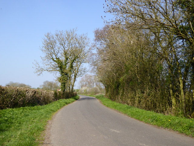
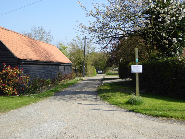
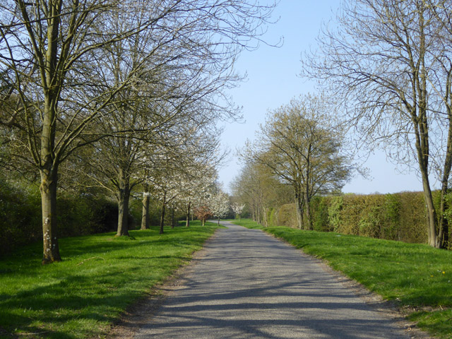
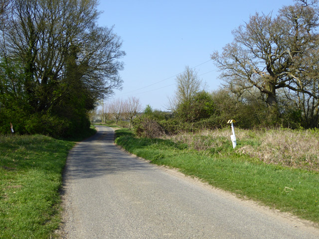
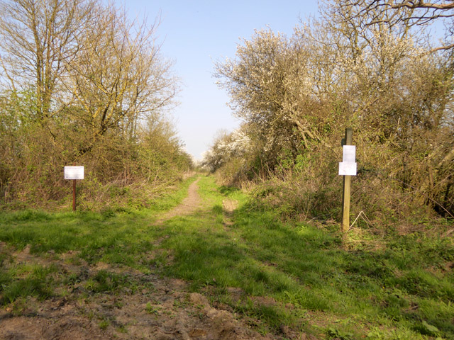
For visitors looking to explore the wood, a network of well-maintained footpaths and trails crisscrosses its expanse. These paths lead to hidden clearings, tranquil ponds, and scenic viewpoints, offering breathtaking vistas of the surrounding landscape.
The wood is open to the public throughout the year, and visitors are encouraged to enjoy the natural beauty while respecting the ecosystem and adhering to any guidelines set by the local authorities. Easter Wood truly offers an escape into nature, a place where one can immerse themselves in the tranquility and splendor of Suffolk's countryside.
If you have any feedback on the listing, please let us know in the comments section below.
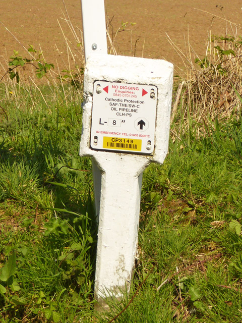
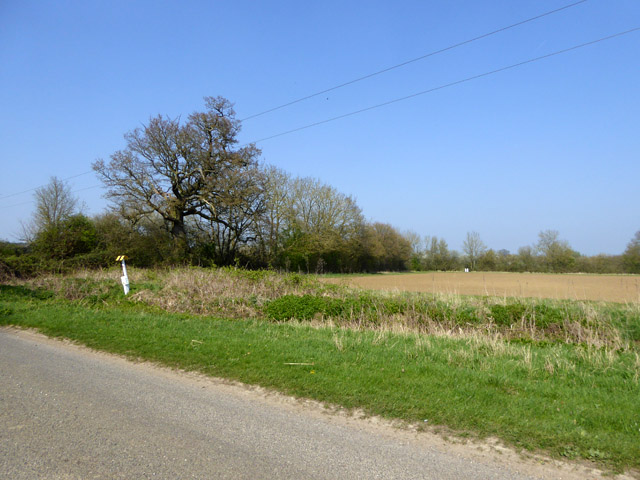
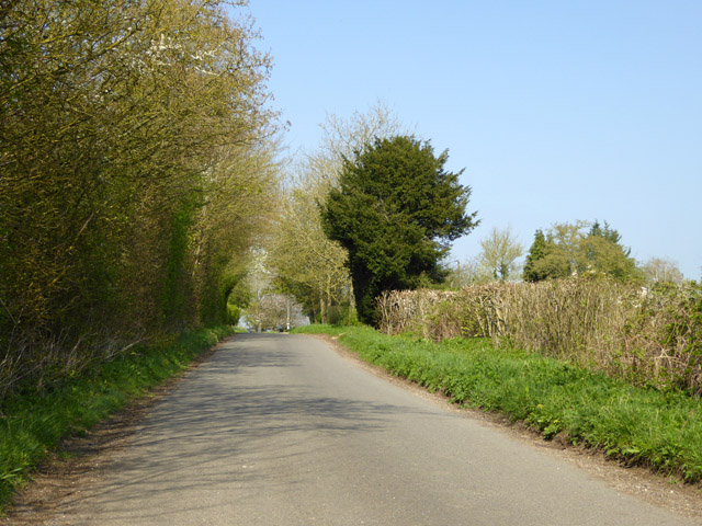
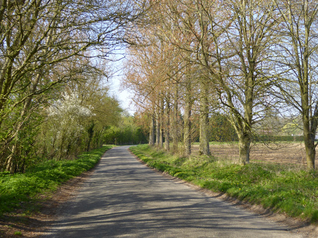
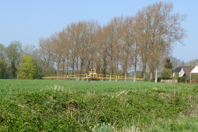
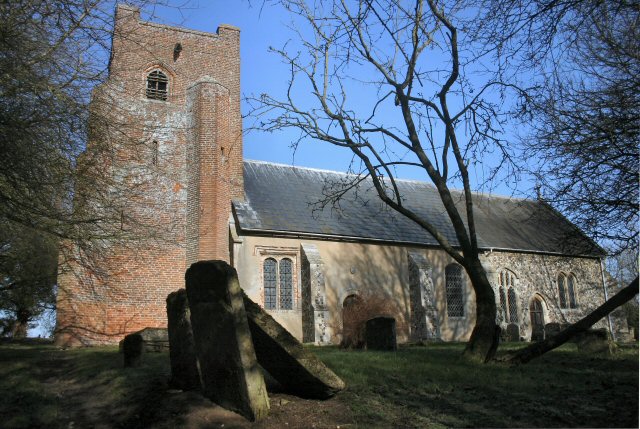
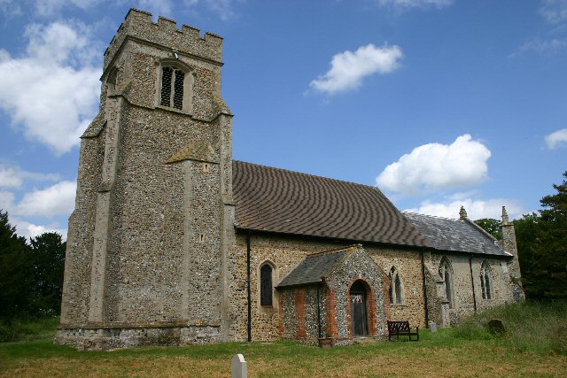
Easter Wood Images
Images are sourced within 2km of 52.187882/0.57524051 or Grid Reference TL7657. Thanks to Geograph Open Source API. All images are credited.


Easter Wood is located at Grid Ref: TL7657 (Lat: 52.187882, Lng: 0.57524051)
Administrative County: Suffolk
District: West Suffolk
Police Authority: Suffolk
What 3 Words
///crimson.appoints.someone. Near Glemsford, Suffolk
Nearby Locations
Related Wikis
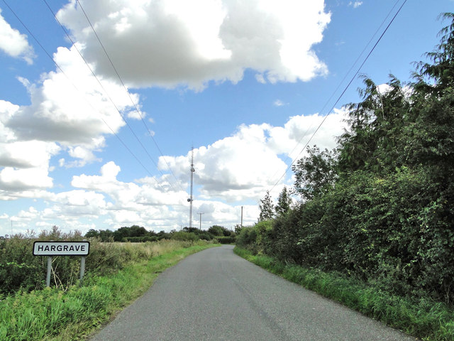
Hargrave, Suffolk
Hargrave is a village and civil parish in the West Suffolk district of Suffolk in eastern England, located about 7 miles (10 km) away from south west of...
Depden
Depden is a village and civil parish in the West Suffolk district of Suffolk in eastern England. Located on the A143 around five miles south-west of Bury...

Coltsfoot Green
Coltsfoot Green is a small hamlet within the village of Wickhambrook, Suffolk, England. It constitutes one of its eleven village greens and consists of...

Wickhambrook
Wickhambrook is a village and civil parish in the West Suffolk district of Suffolk in eastern England. It is about ten miles (16 km) south-west from Bury...
Nearby Amenities
Located within 500m of 52.187882,0.57524051Have you been to Easter Wood?
Leave your review of Easter Wood below (or comments, questions and feedback).