Coldtrench Plantation
Wood, Forest in Suffolk West Suffolk
England
Coldtrench Plantation

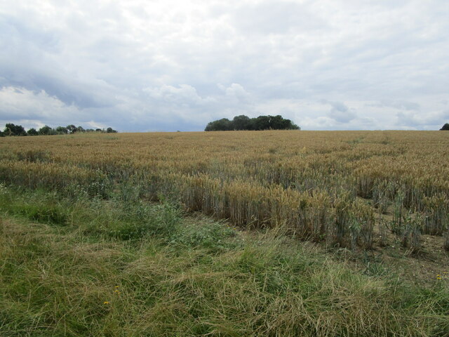
Coldtrench Plantation is a picturesque woodland located in Suffolk, England. Situated near the village of Wood, the plantation covers a vast area of lush greenery, making it an ideal destination for nature enthusiasts and outdoor lovers. With its dense forest and diverse range of flora and fauna, Coldtrench Plantation offers a unique and immersive experience for visitors.
The plantation boasts a rich history, dating back several centuries. It was originally established as a timber plantation in the early 18th century, and over time, it has evolved into a haven for wildlife and a popular recreational spot. The trees in the plantation primarily consist of oak, beech, and pine, creating a serene and tranquil atmosphere.
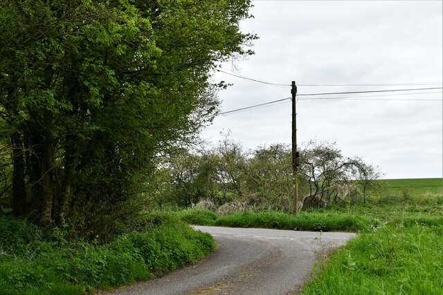
A network of well-maintained footpaths and trails wind through the plantation, providing visitors with opportunities for leisurely walks and hikes. The pathways lead to various scenic viewpoints, allowing visitors to immerse themselves in the natural beauty of the surroundings. Additionally, the plantation is also home to several small lakes and ponds, which add to its charm and attract a variety of bird species.
Coldtrench Plantation is a haven for wildlife, with a diverse range of animals and birds calling it home. Visitors may encounter deer, foxes, rabbits, and numerous species of birds during their visit. Birdwatchers, in particular, will find the plantation to be a treasure trove, as it attracts various species of woodland birds, including woodpeckers, owls, and thrushes.
Overall, Coldtrench Plantation offers a serene and captivating experience for nature lovers, providing a perfect opportunity to explore the beauty of the Suffolk woodlands.
If you have any feedback on the listing, please let us know in the comments section below.
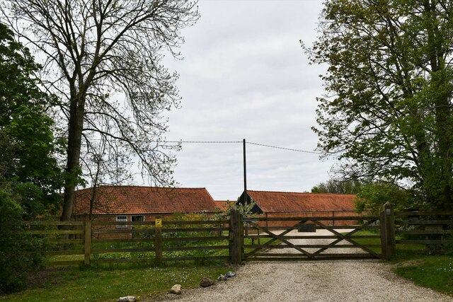
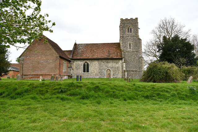
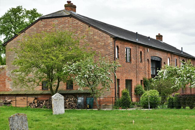
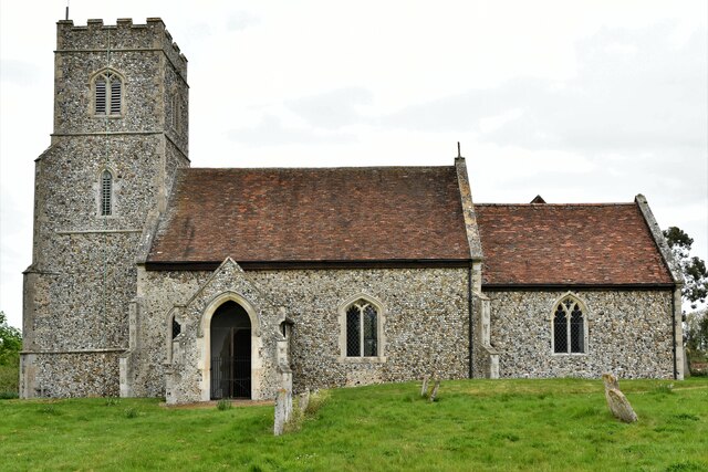
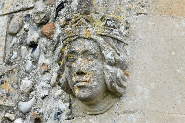
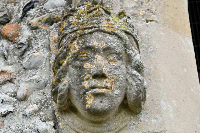
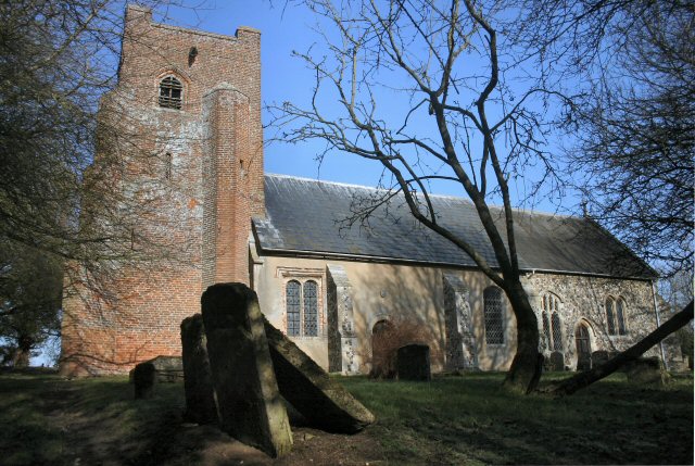
Coldtrench Plantation Images
Images are sourced within 2km of 52.209946/0.57459913 or Grid Reference TL7659. Thanks to Geograph Open Source API. All images are credited.


Coldtrench Plantation is located at Grid Ref: TL7659 (Lat: 52.209946, Lng: 0.57459913)
Administrative County: Suffolk
District: West Suffolk
Police Authority: Suffolk
What 3 Words
///agreeable.slower.lions. Near Bury St Edmunds, Suffolk
Nearby Locations
Related Wikis
Hargrave, Suffolk
Hargrave is a village and civil parish in the West Suffolk district of Suffolk in eastern England, located about 7 miles (10 km) away from south west of...
Denham, West Suffolk
Denham is a village and civil parish in the West Suffolk district of Suffolk in eastern England. Located around five miles west of Bury St Edmunds, in...

Ousden
Ousden is a village and civil parish in the West Suffolk district of Suffolk in eastern England. It is located around six miles west of Bury St Edmunds...

Barrow, Suffolk
Barrow is a village and civil parish in the West Suffolk district of Suffolk, England, about eight miles west of Bury St Edmunds. According to Eilert Ekwall...

Chevington, Suffolk
Chevington is a village and civil parish in the West Suffolk district of Suffolk in East Anglia, England. Located around 10 km south-west of Bury St Edmunds...

Denham Castle
Denham Castle, also known as Castle Holes, is a medieval motte and bailey castle near the village of Gazeley, Suffolk, England. The castle was also known...

Great Saxham
Great Saxham is a village and former civil parish, now in the parish of The Saxhams, in the West Suffolk district, in the county of Suffolk, England. The...

Saxham Hall
Great Saxham Hall is a two-storey Palladian house situated at Great Saxham, just outside Bury St Edmunds in Suffolk, England. It is a Grade II* listed...
Have you been to Coldtrench Plantation?
Leave your review of Coldtrench Plantation below (or comments, questions and feedback).