Fingringhoe

Settlement in Essex Colchester

England

Fingringhoe

Fingringhoe marsh & ranges
Fingringhoe marsh & ranges Credit: Mr James D

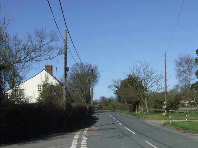
Fingringhoe is a small village located in the county of Essex, England. Situated on the north bank of the River Colne, it is approximately 5 miles southeast of Colchester, the largest town in the region. The village falls within the jurisdiction of Colchester Borough Council.

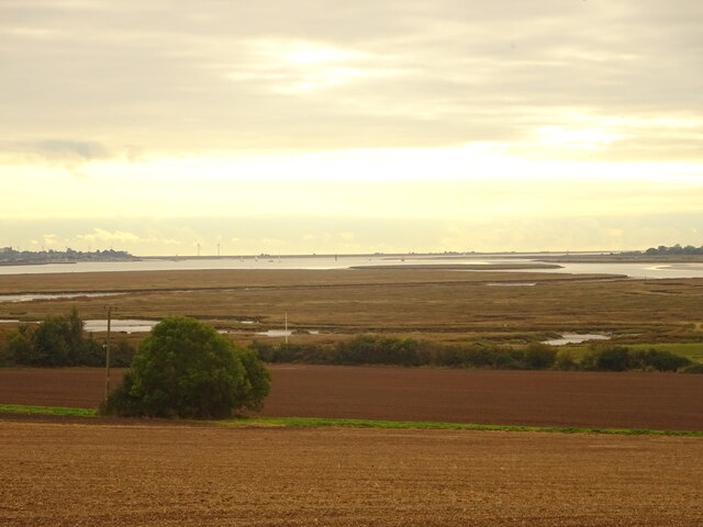
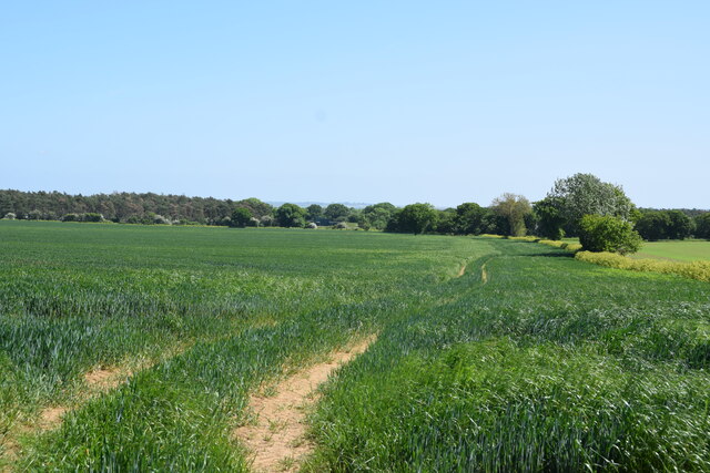
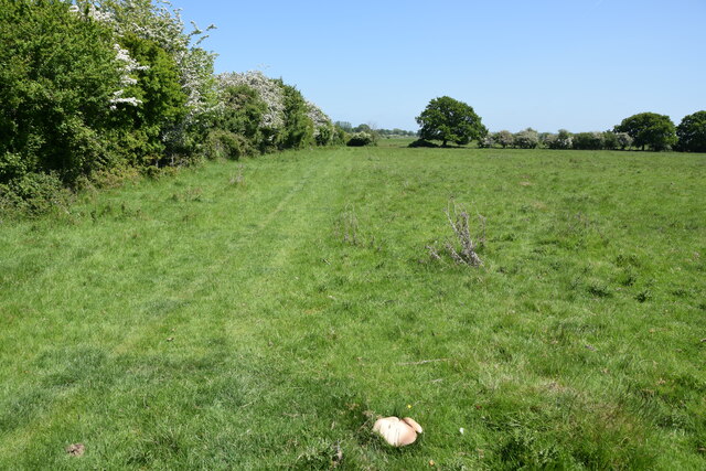
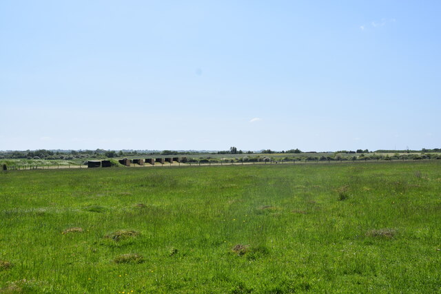
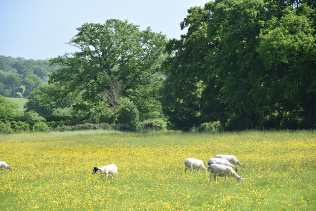
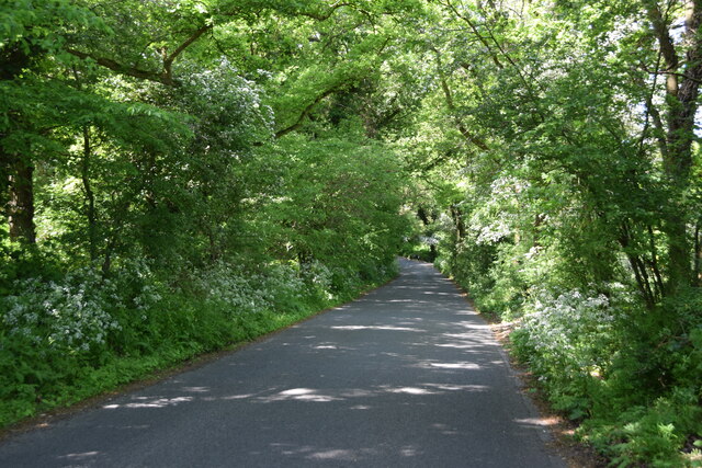
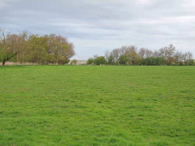
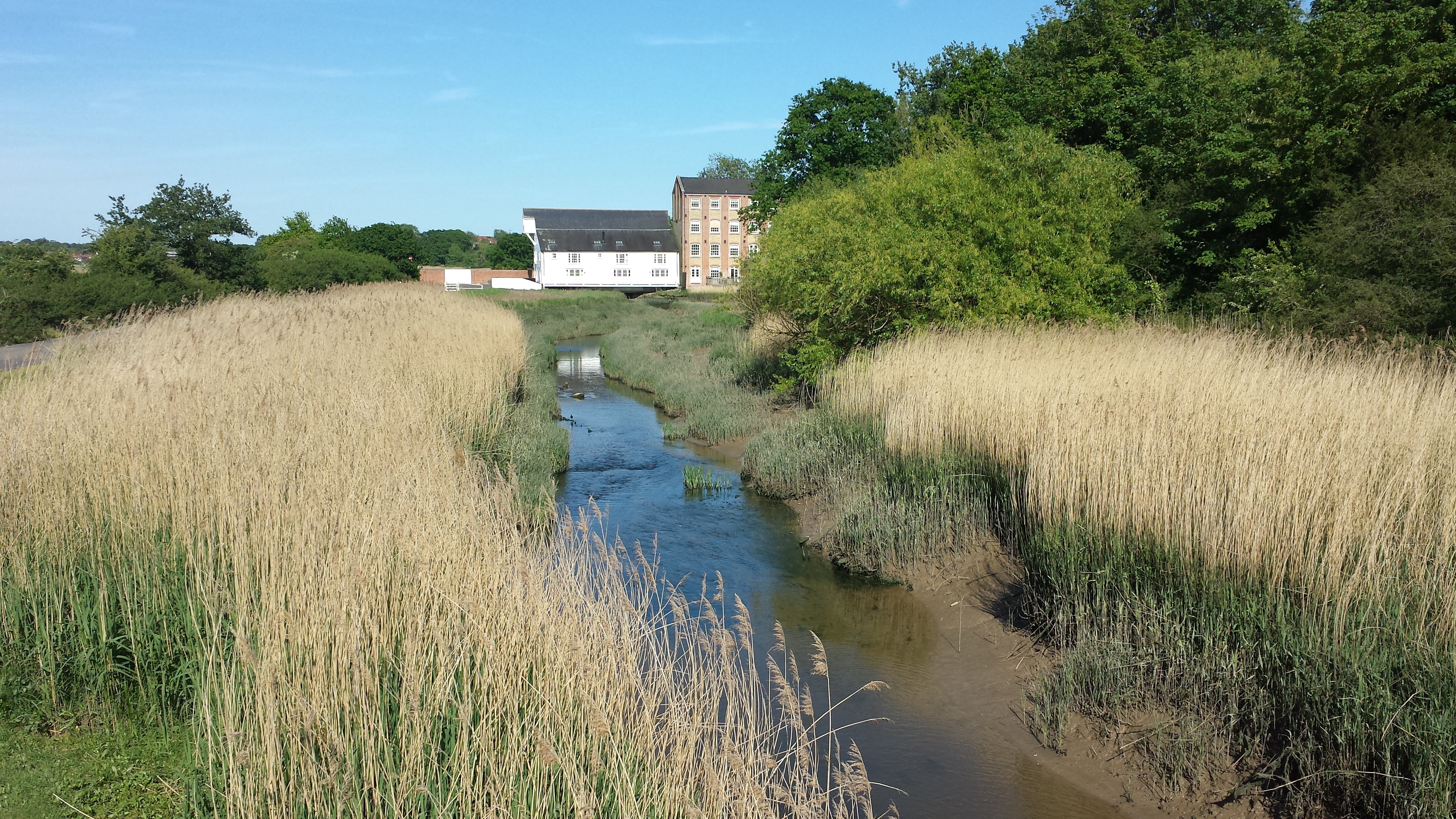
With a population of around 1,000 residents, Fingringhoe has a peaceful and rural atmosphere. The village is surrounded by picturesque countryside, including vast fields and woodland areas, making it a desirable location for nature enthusiasts and those seeking a tranquil lifestyle. The area is known for its scenic beauty, offering breathtaking views of the surrounding landscapes.

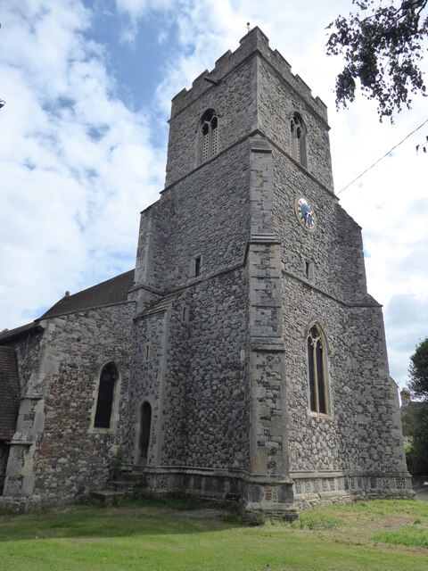
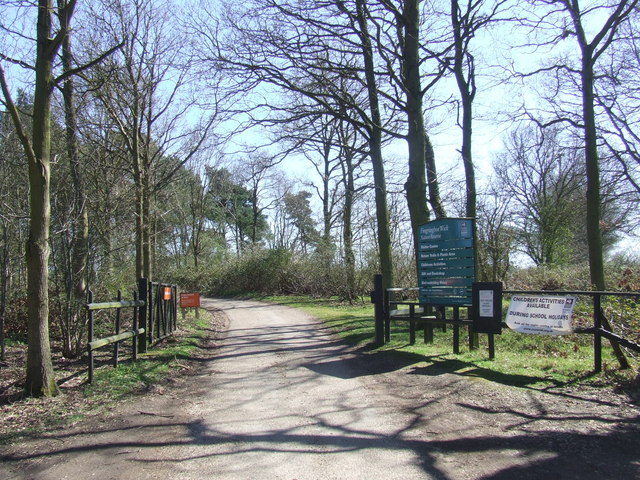
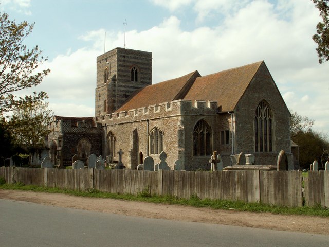
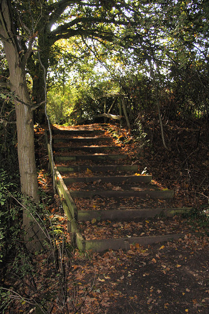
Fingringhoe is home to several historic buildings, including St. Andrew's Church, a Grade I listed building dating back to the 12th century. The church features stunning architectural details and serves as a reminder of the village's rich history. Additionally, Fingringhoe Wick Nature Reserve, managed by the Essex Wildlife Trust, provides visitors with the opportunity to explore diverse habitats and observe various bird species.

Despite its small size, Fingringhoe offers a few amenities for its residents. These include a village hall, a community center, and a local pub, which serves as a social hub for the community. The village also benefits from its proximity to Colchester, where residents can access a wider range of services, schools, and recreational facilities.

Overall, Fingringhoe is a charming village in Essex, offering a quiet and idyllic setting for those seeking a close-knit community and a connection to nature.

If you have any feedback on the listing, please let us know in the comments section below.
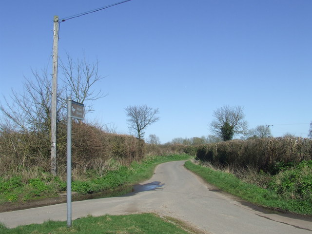
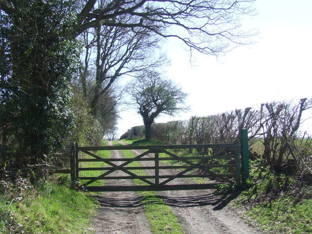
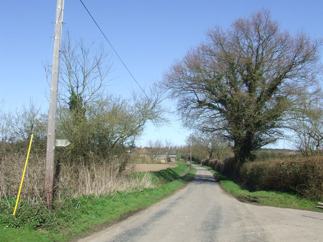
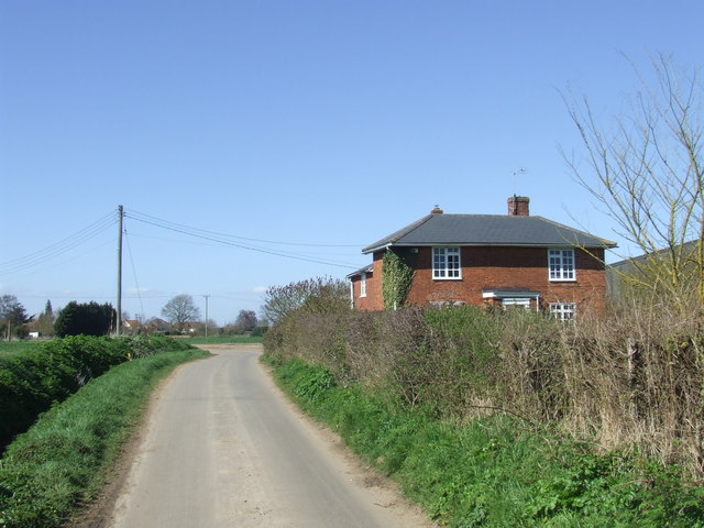
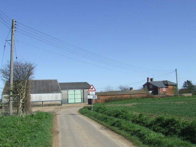
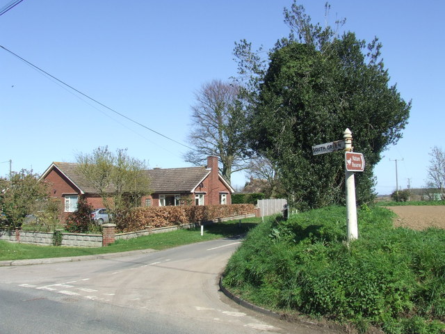
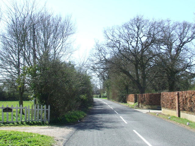
Fingringhoe Images

Images are sourced within 2km of 51.842494/0.939698 or Grid Reference TM0220. Thanks to Geograph Open Source API. All images are credited.

Fingringhoe marsh & ranges
Cereal crop A short distance south of Tudhoe Farm.
Cereal crop
A short distance south of Tudhoe Farm.
Sheep pasture on Fingrinhoe Ranges I am on the public footpath which skirts the norther edge of the military firing ranges. The path can only be walked when the red flags are not flying. Just in front of me is a large field mushroom.
Sheep pasture on Fingrinhoe Ranges
I am on the public footpath which skirts the norther edge of the military firing ranges. The path can only be walked when the red flags are not flying. Just in front of me is a large field mushroom.
Fingrinhoe Ranges Some of the training infrastructure on this military rifle range. Taken just south of South House Farm, from the public footpath which skirts part of the northern edge of the ranges. The footpath can only be walked when the red flags are not flying.
Fingrinhoe Ranges
Some of the training infrastructure on this military rifle range. Taken just south of South House Farm, from the public footpath which skirts part of the northern edge of the ranges. The footpath can only be walked when the red flags are not flying.
Sheep and buttercups Sheep grazing in a field by Haye Lane.
Sheep and buttercups
Sheep grazing in a field by Haye Lane.
Wivenhoe, St Mary the Virgin
Haye Lane, Abberton A lane north of the village of Abberton.
Haye Lane, Abberton
A lane north of the village of Abberton.
Furneaux Lane near Fingringhoe Furneaux Lane passes through a sand and gravel pit.  Looking at the map, it appears that the road has recently been rerouted.  This image shows a new section of the road.
Furneaux Lane near Fingringhoe
Furneaux Lane passes through a sand and gravel pit. Looking at the map, it appears that the road has recently been rerouted. This image shows a new section of the road.
Country lane near Fingringhoe, Essex The signpost points to a nature reserve at the far end of this country lane.
Country lane near Fingringhoe, Essex
The signpost points to a nature reserve at the far end of this country lane.
Fingringhoe Wick Nature Reserve, Essex The entrance gates to the nature reserve at Fingringhoe Wick.

The nature reserve is managed by the Essex Wildlife Trust.  More information is available here: <span class="nowrap"><a title="http://www.essexwt.org.uk/reserves/fingringhoe-wick" rel="nofollow ugc noopener" href="http://www.essexwt.org.uk/reserves/fingringhoe-wick">Link</a><img style="margin-left:2px;" alt="External link" title="External link - shift click to open in new window" src="https://s1.geograph.org.uk/img/external.png" width="10" height="10"/></span>
Fingringhoe Wick Nature Reserve, Essex
The entrance gates to the nature reserve at Fingringhoe Wick. The nature reserve is managed by the Essex Wildlife Trust. More information is available here: LinkExternal link
Gated track near Fingringhoe
South Green Road near Fingringhoe, Essex South Green Road is a quiet lane in a rural part of Essex.
South Green Road near Fingringhoe, Essex
South Green Road is a quiet lane in a rural part of Essex.
South Green Road near Fingringhoe, Essex South Green Road is a lane on a rural part of Essex.  Here it passes a farmhouse.
South Green Road near Fingringhoe, Essex
South Green Road is a lane on a rural part of Essex. Here it passes a farmhouse.
Plane Hall Farm near Fingringhoe, Essex Plane Hall Farm is in a rural part of Essex.
Plane Hall Farm near Fingringhoe, Essex
Plane Hall Farm is in a rural part of Essex.
South Green Road, near Fingringhoe
Abberton Road near Abberton, Essex
Fingringhoe Ranges A public footpath leads through the military practice ranges - only accessible when the red flag is not flying.
Fingringhoe Ranges
A public footpath leads through the military practice ranges - only accessible when the red flag is not flying.
Show me another place!

Fingringhoe is located at Grid Ref: TM0220 (Lat: 51.842494, Lng: 0.939698)

Administrative County: Essex

District: Colchester

Police Authority: Essex

What 3 Words

///wishes.hype.pops. Near Rowhedge, Essex

Related Wikis

Fingringhoe

Fingringhoe is a village and civil parish in the City of Colchester district of Essex, England. The centre of the village is classified as a conservation...

East Donyland

East Donyland is a civil parish in the City of Colchester district of Essex, England. The civil parish includes the village of Rowhedge. The parish touches...

Roman River

The Roman River is a river that flows entirely through the English county of Essex. It is a tributary of the River Colne, flowing into its tidal estuary...

Rowhedge

Rowhedge is a village in the Colchester borough of Essex, England. It is located just over 3 miles (4.8 km) south-east of Colchester town centre and is...

Nearby Amenities

Located within 500m of 51.842494,0.939698
Pub
The Whalebone
Addr Postcode: CO5 7BG
Addr Street: Chapel Road
Fhrs Id: 130333
Source: GPS
Source Addr: fhrs
Wikidata: Q26519657
Lat/Long: 51.8448925/0.9439365
Public Bookcase
Book Swap
Booth: K6
Disused Amenity: telephone
Man Made: telephone_box
Public Bookcase Type: phone_box
Lat/Long: 51.8445321/0.943841
Village Hall
Fingringhoe Village Hall
Addr Postcode: CO5 7BH
Addr Street: Chapel Road
Alt Name: Fingringhoe Club
Fhrs Id: 138196
Note: address/fhrs:id is for facilities at same location
Source Addr: fhrs
Source Alt Name: fhrs
Lat/Long: 51.844075/0.943187
Bus Stop
The Whalebone
Naptan AtcoCode: 1500IM2571
Naptan Bearing: NE
Naptan BusStopType: CUS
Naptan CommonName: The Whalebone
Naptan Crossing: Furneaux Lane
Naptan Indicator: o/s
Naptan Landmark: The Whalebone
Naptan NaptanCode: esxadptd
Naptan Street: Abberton Road
Naptan Verified: no
Public Transport: platform
Source: naptan_import
Lat/Long: 51.8446041/0.9437466
Bus Stop
The Whalebone
Naptan AtcoCode: 1500IM2571AA
Naptan Bearing: SW
Naptan BusStopType: CUS
Naptan CommonName: The Whalebone
Naptan Crossing: Furneaux Lane
Naptan Indicator: Opp
Naptan Landmark: The Whalebone
Naptan NaptanCode: esxjajpg
Naptan Street: Abberton Road
Naptan Verified: no
Public Transport: platform
Source: naptan_import
Lat/Long: 51.8445492/0.9437865
Note: Approximate entry point into Fingringhoe from the North by road (by road sign)
Lat/Long: 51.8462578/0.9430981
Post Office
Fingringhoe Post Office
Addr Postcode: CO5 7AG
Addr Street: Chapel Road
Alt Name: Post Office Stores
Brand: Post Office
Brand Wikidata: Q1783168
Fhrs Id: 86088
Ref Pol Id: 130058
Source Addr: fhrs
Source Alt Name: fhrs
Source Position: Bing
Lat/Long: 51.8417337/0.9391088
Post Box
Operator: Royal Mail
Post Box Type: lamp
Source: survey
Lat/Long: 51.8418156/0.9390303
Fixme: position of bridleway exit needs surveying to clarify this is correct guess post-NPE
Lat/Long: 51.8423567/0.9394979
Pig's Foot Green
Place: hamlet
Lat/Long: 51.8406476/0.9361719
Generator Method: photovoltaic
Generator Output Electricity: yes
Generator Source: solar
Generator Type: solar_photovoltaic_panel
Location: roof
Power: generator
Lat/Long: 51.8445243/0.9439874
Generator Method: photovoltaic
Generator Output Electricity: yes
Generator Source: solar
Generator Type: solar_photovoltaic_panel
Location: roof
Power: generator
Lat/Long: 51.8445401/0.9440477
Post Box
Post Box Type: lamp
Royal Cypher: EIIR
Royal Cypher Wikidata: Q33102113
Lat/Long: 51.8445648/0.9439522
Advertising: board
Lat/Long: 51.8445869/0.944026
Give Way
Direction: forward
Lat/Long: 51.8447311/0.9442232
Give Way
Direction: backward
Lat/Long: 51.8446819/0.9442656
Fingringhoe
Direction: 350
Traffic Sign: city_limit
Lat/Long: 51.8464855/0.9430106
Defibrillator
Access: yes
Defibrillator Location: to the right as you enter the car park, on the wall to the left of the doors
Emergency: defibrillator
Indoor: no
Ref GB The Circuit: 29F50BF3-5C63-4AC9-8660-AE1900D10D4F
Lat/Long: 51.8441362/0.9431948
The data included in this document is from www.openstreetmap.org. The data is made available under ODbL.

Have you been to Fingringhoe?

Leave your review of Fingringhoe below (or comments, questions and feedback).