Dawkin's Covert

Wood, Forest in Norfolk King's Lynn and West Norfolk

England

Dawkin's Covert

Entering Northwold from the west
Entering Northwold from the west Credit: Jonathan Thacker

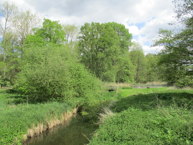
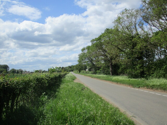
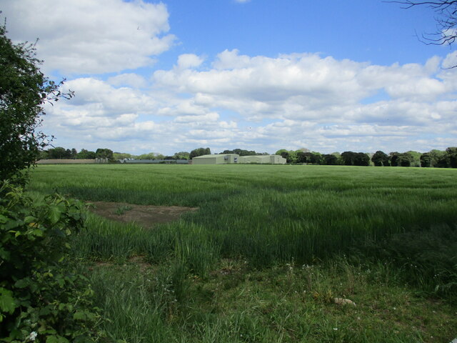
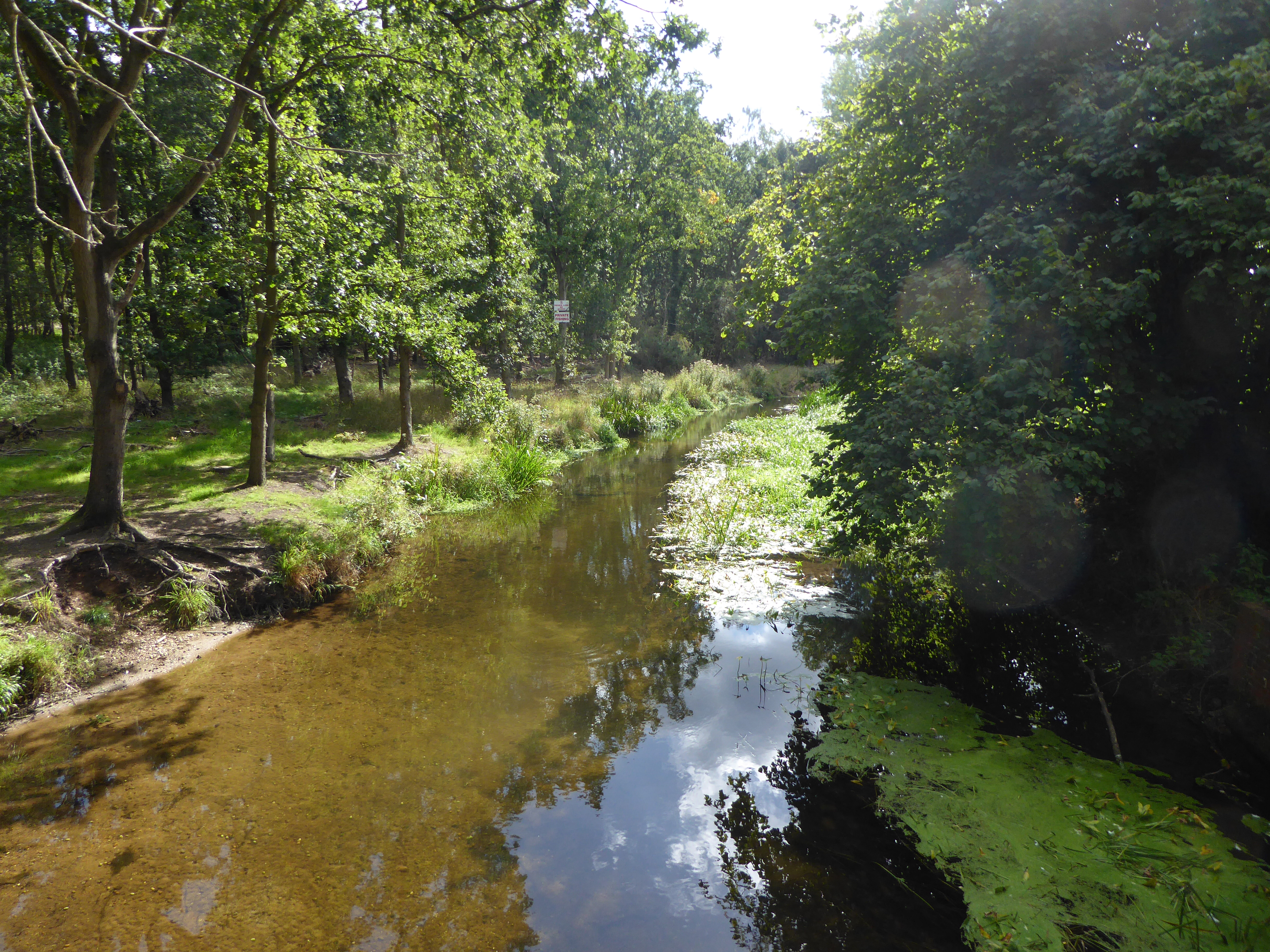
Dawkin's Covert, located in Norfolk, England, is a woodland area renowned for its natural beauty and diverse ecosystem. This enchanting forest, also referred to as Dawkin's Wood, covers a sprawling area of approximately 500 acres, offering visitors a tranquil escape from the bustling city life.

The forest boasts an array of tree species, including oak, beech, ash, and birch, creating a rich tapestry of foliage that changes dramatically with the seasons. The dense canopy overhead provides a cool, shaded atmosphere, making it an ideal destination for nature enthusiasts and hikers.

Dawkin's Covert is home to a myriad of wildlife, making it a haven for animal lovers and birdwatchers alike. Visitors may spot elusive creatures such as deer, foxes, badgers, and various species of birds, including woodpeckers, owls, and thrushes. The forest's tranquil atmosphere and abundant wildlife make it a perfect location for capturing stunning photographs and immersing oneself in the wonders of nature.

The woodland is crisscrossed by a network of walking trails, allowing visitors to explore the forest at their own pace. The paths wind through ancient trees and lead to picturesque clearings and small ponds, providing opportunities for quiet reflection and picnicking.

Dawkin's Covert is open to the public year-round, with different seasons offering unique experiences. In spring, the forest is awash with vibrant wildflowers and the cheerful songs of birds. During autumn, the forest is transformed into a riot of colors as the leaves change, creating a breathtaking spectacle.

For those seeking respite from the demands of everyday life, Dawkin's Covert offers a serene retreat where one can reconnect with nature and revel in the tranquility of Norfolk's woodlands.

If you have any feedback on the listing, please let us know in the comments section below.

Dawkin's Covert Images

Images are sourced within 2km of 52.535724/0.59231036 or Grid Reference TL7596. Thanks to Geograph Open Source API. All images are credited.

Entering Northwold from the west
War Memorial, Northwold Designed by T.D. Atkinson 1920 <span class="nowrap"><a title="https://historicengland.org.uk/listing/the-list/list-entry/1456002?section=official-list-entry" rel="nofollow ugc noopener" href="https://historicengland.org.uk/listing/the-list/list-entry/1456002?section=official-list-entry">Link</a><img style="margin-left:2px;" alt="External link" title="External link - shift click to open in new window" src="https://s1.geograph.org.uk/img/external.png" width="10" height="10"/></span>
War Memorial, Northwold
Designed by T.D. Atkinson 1920 LinkExternal link
St. Andrew's church, Northwold A largely thirteenth and fourteenth century church with a fifteenth century west tower <span class="nowrap"><a title="https://historicengland.org.uk/listing/the-list/list-entry/1342348?section=official-list-entry" rel="nofollow ugc noopener" href="https://historicengland.org.uk/listing/the-list/list-entry/1342348?section=official-list-entry">Link</a><img style="margin-left:2px;" alt="External link" title="External link - shift click to open in new window" src="https://s1.geograph.org.uk/img/external.png" width="10" height="10"/></span>
St. Andrew's church, Northwold
A largely thirteenth and fourteenth century church with a fifteenth century west tower LinkExternal link
Drain near Little London Looking upstream towards the River Wissey with which it connects.
Drain near Little London
Looking upstream towards the River Wissey with which it connects.
Little London Road Looking towards Northwold.
Little London Road
Looking towards Northwold.
Barley field and Watermill Farm
43 High Street, Northwold Substantial mid eighteenth century house <span class="nowrap"><a title="https://historicengland.org.uk/listing/the-list/list-entry/1342347?section=official-list-entry" rel="nofollow ugc noopener" href="https://historicengland.org.uk/listing/the-list/list-entry/1342347?section=official-list-entry">Link</a><img style="margin-left:2px;" alt="External link" title="External link - shift click to open in new window" src="https://s1.geograph.org.uk/img/external.png" width="10" height="10"/></span>
43 High Street, Northwold
Substantial mid eighteenth century house LinkExternal link
Cottages in Northwold
The Crown Inn, Northwold
House in Northwold
House in Northwold
The Crown Inn, Northwold
House in Northwold Probably early nineteenth century.
House in Northwold
Probably early nineteenth century.
47-51 High Street, Northwold Mid eighteenth century house now subdivided <span class="nowrap"><a title="https://historicengland.org.uk/listing/the-list/list-entry/1077770?section=official-list-entry" rel="nofollow ugc noopener" href="https://historicengland.org.uk/listing/the-list/list-entry/1077770?section=official-list-entry">Link</a><img style="margin-left:2px;" alt="External link" title="External link - shift click to open in new window" src="https://s1.geograph.org.uk/img/external.png" width="10" height="10"/></span>
47-51 High Street, Northwold
Mid eighteenth century house now subdivided LinkExternal link
The Manor House, Northwold Early eighteenth century house with later additions <span class="nowrap"><a title="https://historicengland.org.uk/listing/the-list/list-entry/1077776?section=official-list-entry" rel="nofollow ugc noopener" href="https://historicengland.org.uk/listing/the-list/list-entry/1077776?section=official-list-entry">Link</a><img style="margin-left:2px;" alt="External link" title="External link - shift click to open in new window" src="https://s1.geograph.org.uk/img/external.png" width="10" height="10"/></span>
The Manor House, Northwold
Early eighteenth century house with later additions LinkExternal link
Linden Cottage, Northwold Early nineteenth century cottages now one house <span class="nowrap"><a title="https://historicengland.org.uk/listing/the-list/list-entry/1170410?section=official-list-entry" rel="nofollow ugc noopener" href="https://historicengland.org.uk/listing/the-list/list-entry/1170410?section=official-list-entry">Link</a><img style="margin-left:2px;" alt="External link" title="External link - shift click to open in new window" src="https://s1.geograph.org.uk/img/external.png" width="10" height="10"/></span>
Linden Cottage, Northwold
Early nineteenth century cottages now one house LinkExternal link
The churchyard, Northwold Several of these headstones are listed.
The churchyard, Northwold
Several of these headstones are listed.
44 High Street, Northwold Dated 1762 with later alterations <span class="nowrap"><a title="https://historicengland.org.uk/listing/the-list/list-entry/1077775?section=official-list-entry" rel="nofollow ugc noopener" href="https://historicengland.org.uk/listing/the-list/list-entry/1077775?section=official-list-entry">Link</a><img style="margin-left:2px;" alt="External link" title="External link - shift click to open in new window" src="https://s1.geograph.org.uk/img/external.png" width="10" height="10"/></span>
44 High Street, Northwold
Dated 1762 with later alterations LinkExternal link
House at the corner of High Street and Church Lane, Northwold
Show me another place!

Dawkin's Covert is located at Grid Ref: TL7596 (Lat: 52.535724, Lng: 0.59231036)

Administrative County: Norfolk

District: King's Lynn and West Norfolk

Police Authority: Norfolk

What 3 Words

///bounding.javelin.rehearsal. Near Mundford, Norfolk

Nearby Locations

Northwold Dawkin's Covert

Related Wikis

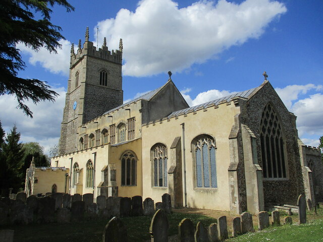
St Andrew's Church, Northwold

St Andrew's Church is an active Church of England parish church in the village of Northwold, Norfolk, England. It is a Grade I listed building. ��2...

The Brinks, Northwold

The Brinks, Northwold or Northwold Meadows is a 16.4-hectare (41-acre) biological Site of Special Scientific Interest south of Northwold in Norfolk, England...

Northwold

Northwold ("North forest") is a village and civil parish in the English county of Norfolk. It covers an area of 19.72 km2 (7.61 sq mi) and had a population...

Beckett End

Beckett End is a village in Norfolk, England. The population is included in the civil parish of Foulden. == References ==

Didlington Park Lakes

Didlington Park Lakes is a 26.1-hectare (64-acre) biological Site of Special Scientific Interest south of Didlington in Norfolk.These three artificial...

Didlington

Didlington is a village in the Breckland district of mid-Norfolk, East Anglia, England in the United Kingdom. It has an area of 11.07 km2 (4.27 sq mi)...

Cranwich Camp

Cranwich Camp is a 13.1-hectare (32-acre) biological Site of Special Scientific Interest north-west of Thetford in Norfolk. It is part of the Breckland...

Iceni Academy

The Iceni Academy (formerly Hockwold and Methwold Community School) is a mixed, all-through school located over two sites in Norfolk, England. == History... ==

Nearby Amenities

Located within 500m of 52.535724,0.59231036
Little London Lane, adj
Naptan AtcoCode: 2900N1013
Naptan Bearing: NW
Naptan BusStopType: CUS
Naptan CommonName: Little London Lane
Naptan Indicator: adj
Naptan Landmark: Little London Lane
Naptan Locality: Northwold
Naptan NaptanCode: nfodgwda
Naptan Street: Little London Road
Naptan Verified: no
Source: naptan_import
Lat/Long: 52.5386597/0.5969524
Parking
Fee: no
Parking: surface
Lat/Long: 52.5350259/0.589186
Parking
Fee: no
Parking: surface
Lat/Long: 52.5331455/0.5958341
Waste Basket
Waste: dog_excrement
Lat/Long: 52.5388114/0.5873583
Pooly Farm
Place: farm
Source: OS 1:25k
Lat/Long: 52.5352563/0.5870374
Bulldog Barns
Addr Housenumber: 14
Addr Street: Thetford Road
Facebook: https://www.facebook.com/BulldogBarns
Shop: homeware
Lat/Long: 52.53681/0.5856119
Little London
Place: hamlet
Lat/Long: 52.5384526/0.5973387
Power: pole
Lat/Long: 52.5322651/0.5892491
Power: pole
Lat/Long: 52.533138/0.5883774
Power: pole
Lat/Long: 52.5341219/0.5873461
Power: pole
Lat/Long: 52.5347362/0.5862156
Power: pole
Lat/Long: 52.5354695/0.5852178
The data included in this document is from www.openstreetmap.org. The data is made available under ODbL.

Have you been to Dawkin's Covert?

Leave your review of Dawkin's Covert below (or comments, questions and feedback).