Brandonfield Wood
Wood, Forest in Suffolk West Suffolk
England
Brandonfield Wood
Brandonfield Wood is a picturesque woodland located in Suffolk, England. Covering an area of approximately 50 hectares, it is a beautiful example of a mixed deciduous forest. The wood is situated near the village of Brandon, providing a peaceful and tranquil retreat for nature enthusiasts and hikers alike.
The woodland is characterized by a rich diversity of tree species, including oak, ash, beech, and birch, creating a vibrant and colorful canopy during the changing seasons. The forest floor is adorned with a variety of wildflowers, ferns, and mosses, adding to the natural beauty of the surroundings.
Brandonfield Wood is home to a wide range of wildlife, making it a haven for nature lovers. Visitors may be lucky enough to spot deer, foxes, badgers, and a plethora of bird species, including woodpeckers, owls, and warblers. The wood also provides a habitat for various insects and small mammals, contributing to the delicate balance of the ecosystem.
The wood is crisscrossed by a network of well-maintained footpaths, allowing visitors to explore its enchanting trails and immerse themselves in the serenity of nature. These paths lead to secluded spots, perfect for picnics or simply enjoying the tranquility of the surroundings.
With its natural beauty and abundant wildlife, Brandonfield Wood offers a delightful escape from the hustle and bustle of everyday life. It is a place where one can reconnect with nature and appreciate the wonders of the Suffolk countryside.
If you have any feedback on the listing, please let us know in the comments section below.
Brandonfield Wood Images
Images are sourced within 2km of 52.443105/0.58524877 or Grid Reference TL7585. Thanks to Geograph Open Source API. All images are credited.


Brandonfield Wood is located at Grid Ref: TL7585 (Lat: 52.443105, Lng: 0.58524877)
Administrative County: Suffolk
District: West Suffolk
Police Authority: Suffolk
What 3 Words
///obscuring.rips.submitted. Near Weeting, Norfolk
Nearby Locations
Related Wikis
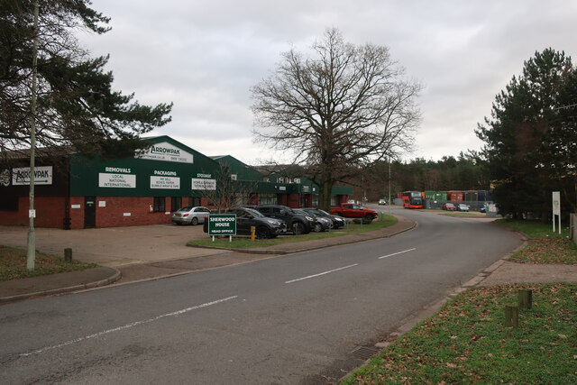
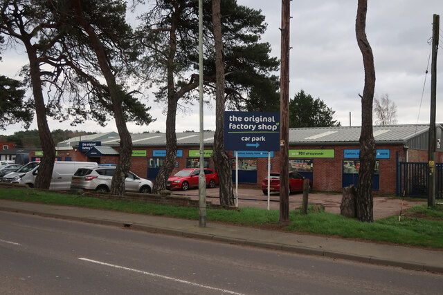
London Road Industrial Estate, Brandon
London Road Industrial Estate, Brandon is a 0.1-hectare (0.25-acre) biological Site of Special Scientific Interest (SSSI) in Brandon in Suffolk. This very...

Weeting Heath
Weeting Heath is a 141.8-hectare (350-acre) biological Site of Special Scientific Interest west of Thetford in Norfolk, which is managed by the Norfolk...
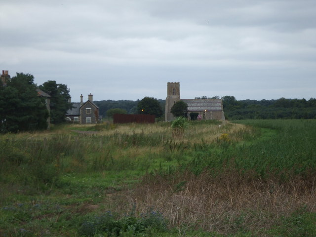
Wangford, West Suffolk
Wangford is a village and former civil parish, now in the parish of Brandon, in the West Suffolk district of the English county of Suffolk. The RAF Lakenheath...

Wangford Warren and Carr
Wangford Warren and Carr is a 67.8-hectare (168-acre) biological Site of Special Scientific Interest between Brandon and Lakenheath in Suffolk. It is...
Nearby Amenities
Located within 500m of 52.443105,0.58524877Have you been to Brandonfield Wood?
Leave your review of Brandonfield Wood below (or comments, questions and feedback).