Bradmoor Plantation
Wood, Forest in Norfolk King's Lynn and West Norfolk
England
Bradmoor Plantation
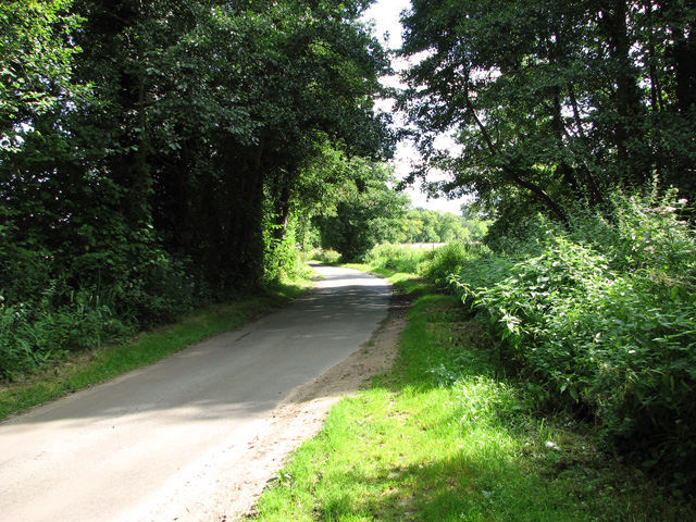
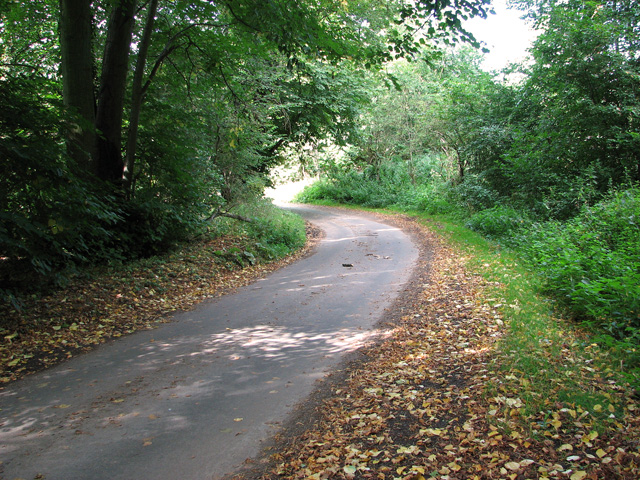
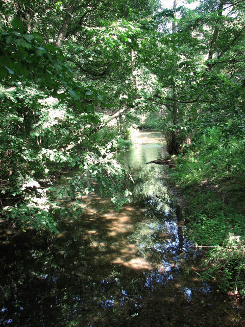
Bradmoor Plantation is a sprawling woodland located in Norfolk, England. Covering an area of approximately 500 acres, it is known for its diverse range of trees and abundant wildlife. The plantation is situated on gently undulating terrain, with the landscape characterized by dense woodlands and open glades.
The woodland at Bradmoor Plantation is predominantly composed of deciduous trees, including oak, beech, and birch. These majestic trees provide a stunning canopy during the summer months, offering shade and shelter to the various species that call this place home. The forest floor is carpeted with a rich tapestry of plants, including wildflowers, ferns, and mosses, creating a vibrant and enchanting atmosphere.
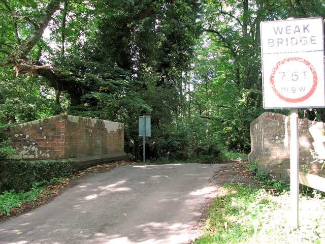
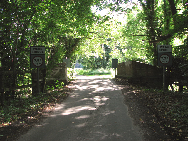
The woodland is crisscrossed by a network of well-maintained footpaths, allowing visitors to explore the plantation and discover its hidden treasures. These paths wind through the woods, leading to secluded ponds, tranquil streams, and small clearings that offer breathtaking views of the surrounding landscape.
Bradmoor Plantation is teeming with wildlife, making it a haven for nature enthusiasts. Deer, foxes, badgers, and rabbits are commonly sighted here, while a plethora of bird species, such as woodpeckers, owls, and warblers, can be spotted and heard throughout the year.
With its serene and idyllic setting, Bradmoor Plantation offers visitors a peaceful retreat from the bustle of everyday life. Whether one is seeking a leisurely stroll, a picnic amidst nature, or a chance to observe wildlife, this woodland sanctuary is sure to provide an unforgettable experience.
If you have any feedback on the listing, please let us know in the comments section below.
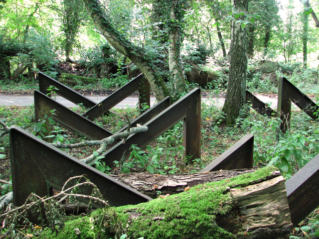
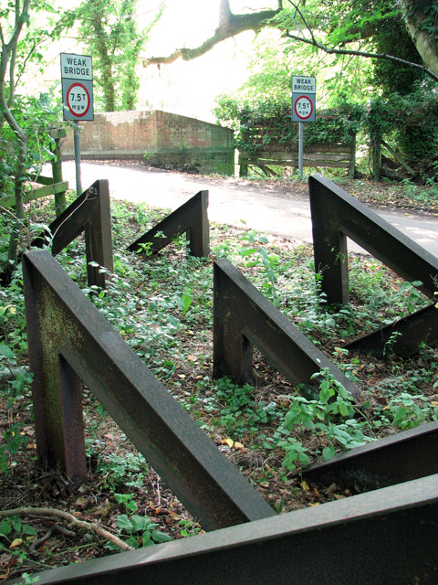
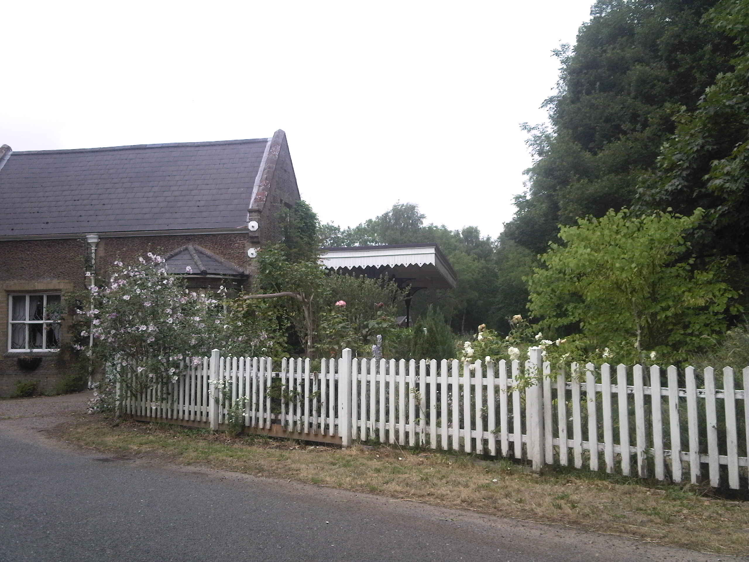
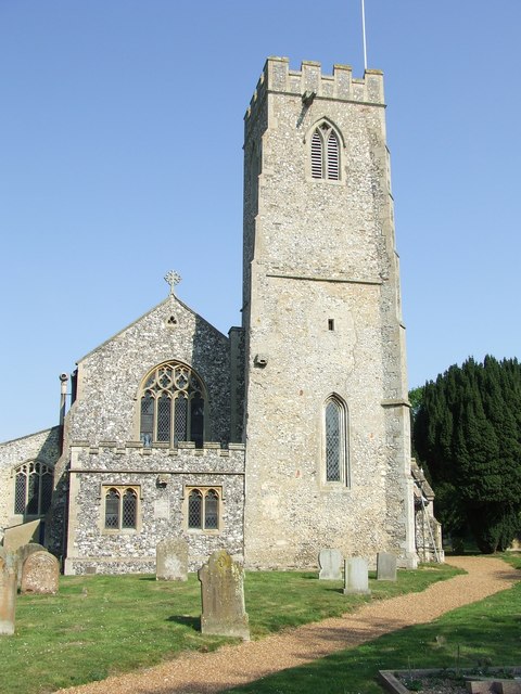
Bradmoor Plantation Images
Images are sourced within 2km of 52.698107/0.59998617 or Grid Reference TF7514. Thanks to Geograph Open Source API. All images are credited.


Bradmoor Plantation is located at Grid Ref: TF7514 (Lat: 52.698107, Lng: 0.59998617)
Administrative County: Norfolk
District: King's Lynn and West Norfolk
Police Authority: Norfolk
What 3 Words
///delays.angel.notifying. Near Narborough, Norfolk
Nearby Locations
Related Wikis

Narford
Narford is situated in the Breckland District of Norfolk and covers an area of 970 hectares (3.75 square miles). Narford village has all but disappeared...

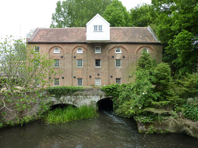
Narborough Watermill
Narborough Watermill is located on the river Nar, within the village of Narborough in the English county of Norfolk. The watermill is thought to have been...
Narborough and Pentney railway station
Narborough and Pentney station was in Norfolk, serving the villages of Narborough and Pentney. == History == It was on the line between King's Lynn and...

East Walton
East Walton is a village in the English county of Norfolk. The village is located 7.8 miles (12.6 km) south-east of King's Lynn and 31 miles (50 km) north...
Narborough, Norfolk
Narborough is a village of 1405 hectares in the Breckland district of Norfolk, England, with a population of 1,094 at the 2011 census. It is situated...

West Acre
West Acre is a village and civil parish in the King's Lynn and West Norfolk district of the county of Norfolk, England. It covers an area of 14.49 km2...

West Acre Priory
West Acre Priory of St. Mary and All Saints was a medieval monastic house at West Acre in the King's Lynn and West Norfolk district of Norfolk, England...

East Walton and Adcock's Common
East Walton and Adcock's Common is a 62.4-hectare (154-acre) biological and geological Site of Special Scientific Interest south-east of King's Lynn in...
Have you been to Bradmoor Plantation?
Leave your review of Bradmoor Plantation below (or comments, questions and feedback).