Carter's Park
Wood, Forest in Suffolk West Suffolk
England
Carter's Park

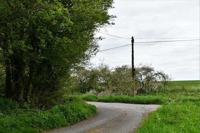
Carter's Park, located in Suffolk, England, is a serene and picturesque woodland area, often referred to as a hidden gem of the region. Spanning approximately 200 acres, this enchanting forest is a haven for nature lovers and outdoor enthusiasts alike.
The park boasts a diverse range of flora and fauna, making it a biodiversity hotspot. Towering oak and beech trees dominate the landscape, their majestic presence providing a tranquil and shaded environment. The forest floor is carpeted with lush green moss, creating a mystical atmosphere reminiscent of a fairytale setting.
Winding trails and footpaths meander through the park, inviting visitors to explore its scenic beauty. Venture deeper into the woods, and you may stumble upon a babbling brook or a small pond, inhabited by a myriad of aquatic creatures. The park is also home to a variety of wildlife, including deer, foxes, and a multitude of bird species, making it a popular spot for birdwatchers.
Carter's Park offers an escape from the hustle and bustle of everyday life, providing a tranquil sanctuary for relaxation and contemplation. It is a popular destination for family outings, picnics, and leisurely walks. The park also offers designated picnic areas and benches, allowing visitors to fully immerse themselves in the natural surroundings.
Whether you are seeking solitude or an opportunity to reconnect with nature, Carter's Park is an idyllic destination. Its unspoiled beauty, combined with its accessibility and range of amenities, make it a must-visit location for anyone looking to experience the charm of Suffolk's woodlands.
If you have any feedback on the listing, please let us know in the comments section below.
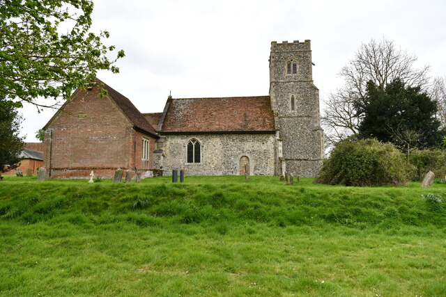
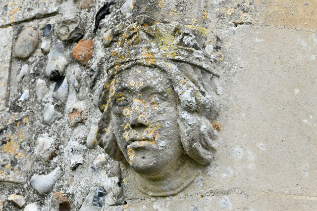
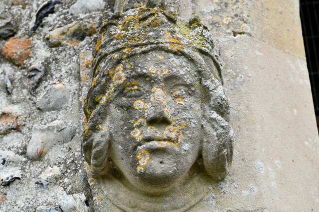
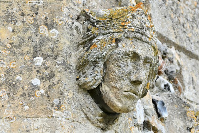
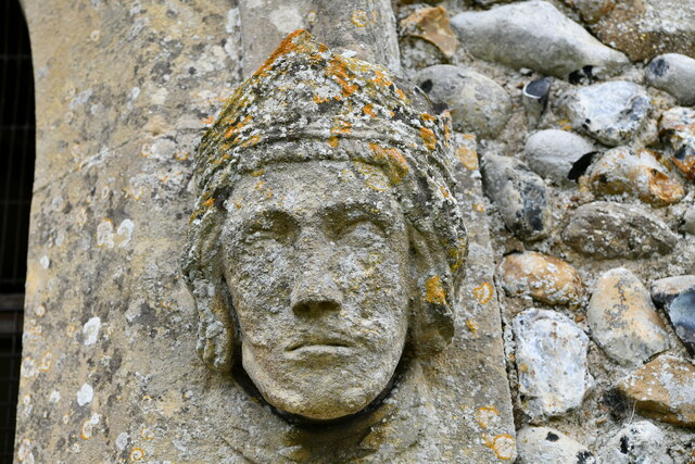
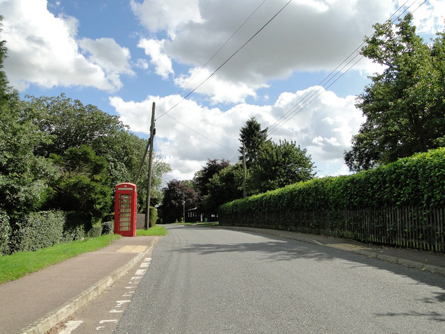
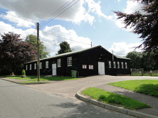
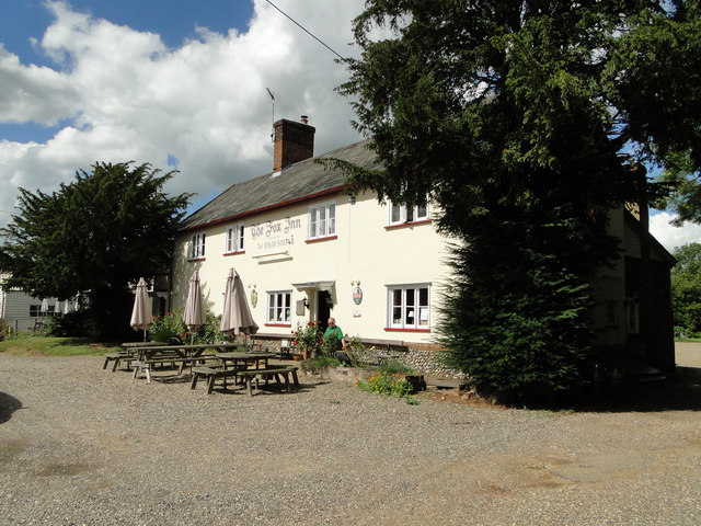
Carter's Park Images
Images are sourced within 2km of 52.211796/0.56895302 or Grid Reference TL7560. Thanks to Geograph Open Source API. All images are credited.
Carter's Park is located at Grid Ref: TL7560 (Lat: 52.211796, Lng: 0.56895302)
Administrative County: Suffolk
District: West Suffolk
Police Authority: Suffolk
What 3 Words
///typed.gullible.limiting. Near Bury St Edmunds, Suffolk
Nearby Locations
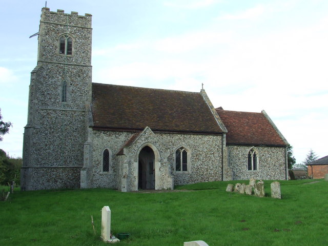
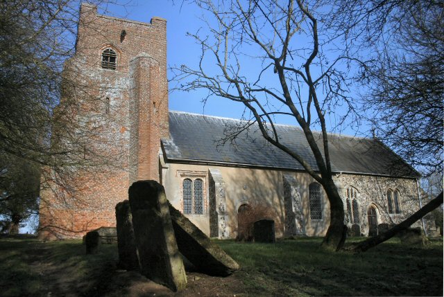
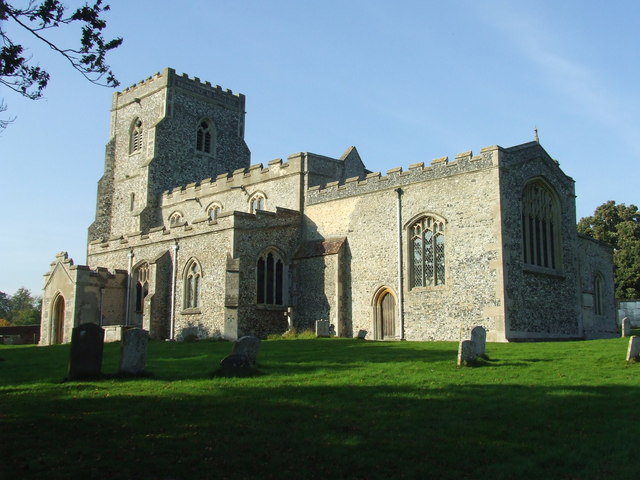
Related Wikis
Denham, West Suffolk
Denham is a village and civil parish in the West Suffolk district of Suffolk in eastern England. Located around five miles west of Bury St Edmunds, in...

Ousden
Ousden is a village and civil parish in the West Suffolk district of Suffolk in eastern England. It is located around six miles west of Bury St Edmunds...
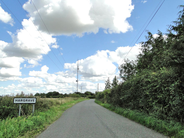
Hargrave, Suffolk
Hargrave is a village and civil parish in the West Suffolk district of Suffolk in eastern England, located about 7 miles (10 km) away from south west of...

Barrow, Suffolk
Barrow is a village and civil parish in the West Suffolk district of Suffolk, England, about eight miles west of Bury St Edmunds. According to Eilert Ekwall...

Denham Castle
Denham Castle, also known as Castle Holes, is a medieval motte and bailey castle near the village of Gazeley, Suffolk, England. The castle was also known...

Chevington, Suffolk
Chevington is a village and civil parish in the West Suffolk district of Suffolk in East Anglia, England. Located around 10 km south-west of Bury St Edmunds...

Desning Hall
Desning Hall was a manor house in Risbridge Hundred, in Suffolk, England, dating from Anglo-Saxon times. Desning Hall's last resident was Sidney Arthur...
Dalham
Dalham is a village and civil parish in the West Suffolk district of Suffolk, England. The name, meaning 'homestead/village in a valley' is of Old English...
Have you been to Carter's Park?
Leave your review of Carter's Park below (or comments, questions and feedback).