Evans Belt

Wood, Forest in Norfolk King's Lynn and West Norfolk

England

Evans Belt

Hard standing off Norman Road
Hard standing off Norman Road Credit: Jonathan Thacker

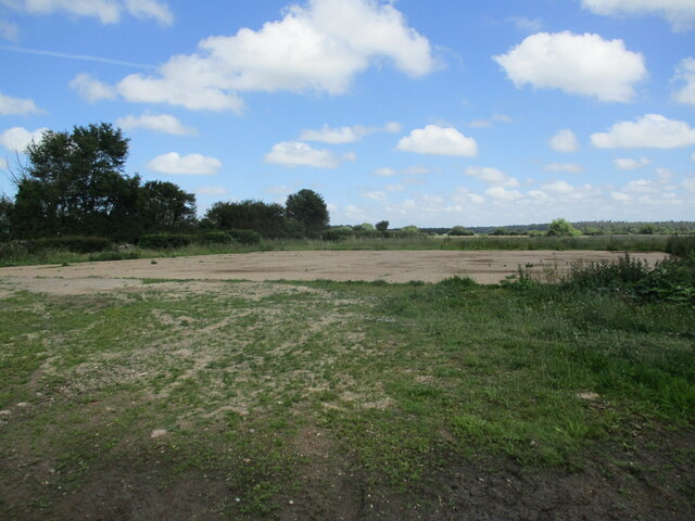
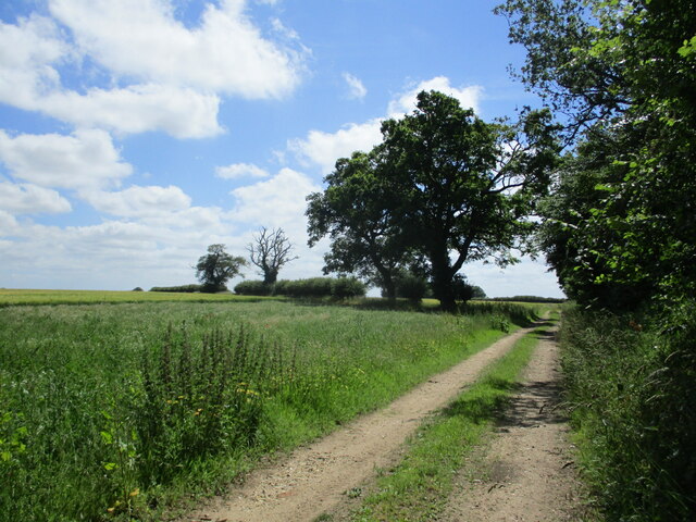
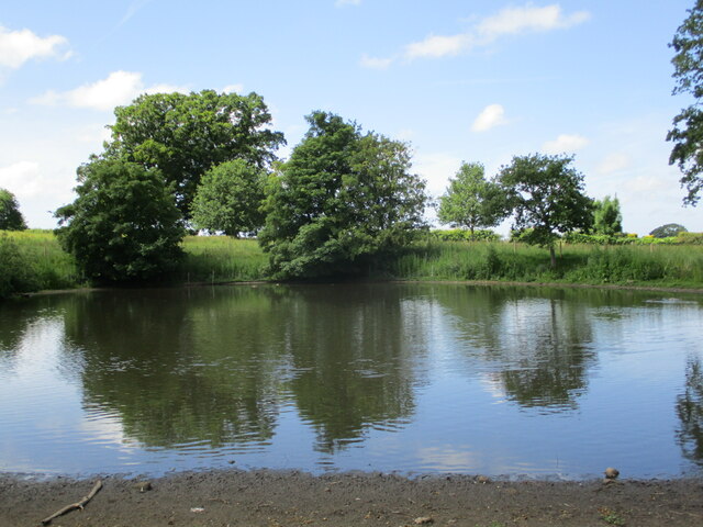
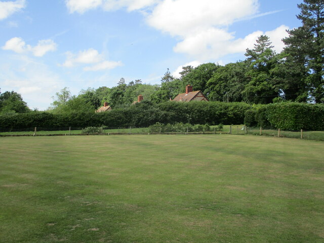
Evans Belt, located in Norfolk, England, is a picturesque wood or forest that spans an area of approximately 200 acres. Known for its natural beauty and rich biodiversity, this woodland area offers visitors a serene and tranquil escape from the hustle and bustle of everyday life.

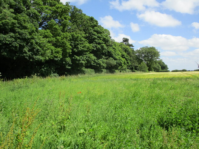
The woodland is predominantly composed of towering oak trees, but also features a variety of other tree species such as beech, birch, and pine. These trees create a dense canopy, providing shade and protection for the numerous flora and fauna that call this forest their home. The forest floor is covered in a carpet of moss, ferns, and wildflowers, adding to the enchanting atmosphere.

Evans Belt is a haven for wildlife enthusiasts, as it supports a diverse range of animal species. Visitors may spot deer, foxes, badgers, and a plethora of bird species, including woodpeckers, owls, and various songbirds. The forest's diverse ecosystem also attracts a variety of insects and small mammals.

For outdoor enthusiasts, Evans Belt offers numerous walking trails and paths, allowing visitors to explore the forest at their own pace. The woodland is well-maintained, with clearly marked trails to ensure visitors can navigate easily. There are also picnic areas and benches scattered throughout the forest, providing the perfect spot to rest and enjoy the peaceful surroundings.

Evans Belt is a popular destination for nature lovers, photographers, and those seeking a peaceful retreat in the heart of Norfolk's countryside. With its breathtaking beauty and abundant wildlife, this woodland is a true gem waiting to be discovered.

If you have any feedback on the listing, please let us know in the comments section below.
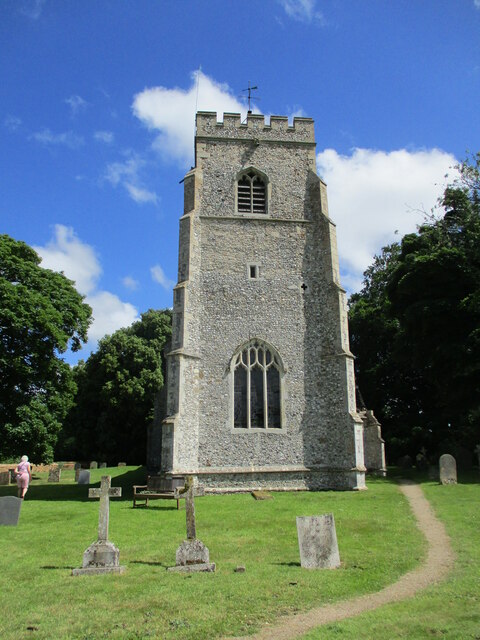
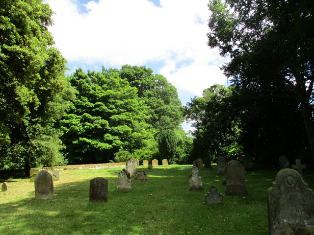
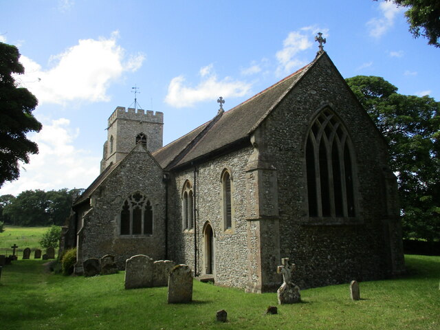
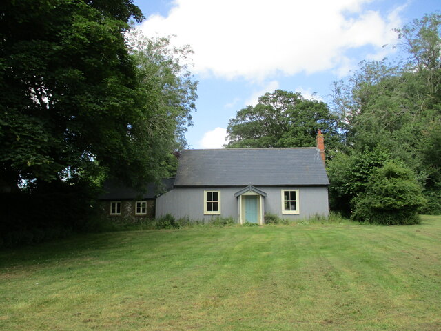
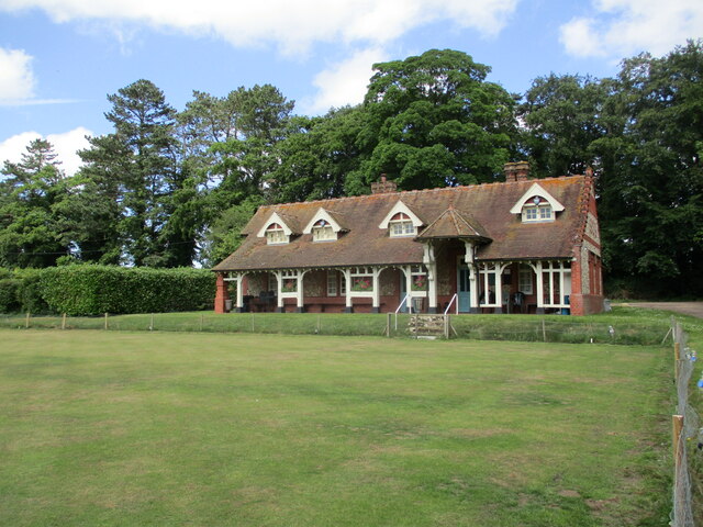
Evans Belt Images

Images are sourced within 2km of 52.840063/0.60532792 or Grid Reference TF7530. Thanks to Geograph Open Source API. All images are credited.

Hard standing off Norman Road
Peddars Way and pig sties
Farm track alongside East Plantation, Anmer
Pond near Anmer Hall
Peddars Way near Anmer
Farm track and pig sties, Bircham Heath
St. Mary's church, Anmer, west tower Fifteenth century west tower <span class="nowrap"><a title="https://historicengland.org.uk/listing/the-list/list-entry/1077863?section=official-list-entry" rel="nofollow ugc noopener" href="https://historicengland.org.uk/listing/the-list/list-entry/1077863?section=official-list-entry">Link</a><img style="margin-left:2px;" alt="External link" title="External link - shift click to open in new window" src="https://s1.geograph.org.uk/img/external.png" width="10" height="10"/></span>
St. Mary's church, Anmer, west tower
Fifteenth century west tower LinkExternal link
The churchyard, Anmer
St. Mary's church, Anmer Largely of the fourteenth and fifteenth centuries <span class="nowrap"><a title="https://historicengland.org.uk/listing/the-list/list-entry/1077863?section=official-list-entry" rel="nofollow ugc noopener" href="https://historicengland.org.uk/listing/the-list/list-entry/1077863?section=official-list-entry">Link</a><img style="margin-left:2px;" alt="External link" title="External link - shift click to open in new window" src="https://s1.geograph.org.uk/img/external.png" width="10" height="10"/></span>
St. Mary's church, Anmer
Largely of the fourteenth and fifteenth centuries LinkExternal link
Village Hall, Anmer Appears to be disused.
Village Hall, Anmer
Appears to be disused.
Anmer Club and Bowling Green The club was built in 1909 at the behest of King Edward VII.
Anmer Club and Bowling Green
The club was built in 1909 at the behest of King Edward VII.
Bowling Green and cottages, Anmer
Grass field and bowl barrow, Harpley Common The bowl barrow is one of svereal in the vicinity <span class="nowrap"><a title="https://historicengland.org.uk/listing/the-list/list-entry/1010574?section=official-list-entry" rel="nofollow ugc noopener" href="https://historicengland.org.uk/listing/the-list/list-entry/1010574?section=official-list-entry">Link</a><img style="margin-left:2px;" alt="External link" title="External link - shift click to open in new window" src="https://s1.geograph.org.uk/img/external.png" width="10" height="10"/></span>
Grass field and bowl barrow, Harpley Common
The bowl barrow is one of svereal in the vicinity LinkExternal link
Peddars Way, Harpley Common
Blacksmith's Covert
Blacksmith's Covert
Coronation Decor Anmer Community Hall Social Club is bedecked for the Coronation of His Majesty King Charles III. 
Seen whilst on my Coronation Tour.
Coronation Decor
Anmer Community Hall Social Club is bedecked for the Coronation of His Majesty King Charles III. Seen whilst on my Coronation Tour.
A Glimpse of Norfolk Near Anmer.
A Glimpse of Norfolk
Near Anmer.
Show me another place!

Evans Belt is located at Grid Ref: TF7530 (Lat: 52.840063, Lng: 0.60532792)

Administrative County: Norfolk

District: King's Lynn and West Norfolk

Police Authority: Norfolk

What 3 Words

///busy.buzzards.essential. Near Dersingham, Norfolk

Nearby Locations

Evans Belt Dollmans Belt

Related Wikis

Anmer

Anmer is a small village and civil parish in the English county of Norfolk. It is around 12 miles (19 km) north-east of the town of King's Lynn and 35...

Anmer Hall

Anmer Hall is a Georgian country house in the village of Anmer in Norfolk, England. Built in the 19th century, it was acquired by the Sandringham Estate...

Great Bircham Windmill

Great Bircham Windmill is a Grade II listed tower mill in Great Bircham, Norfolk, England. == History == The earliest record of a windmill in Great Bircham...
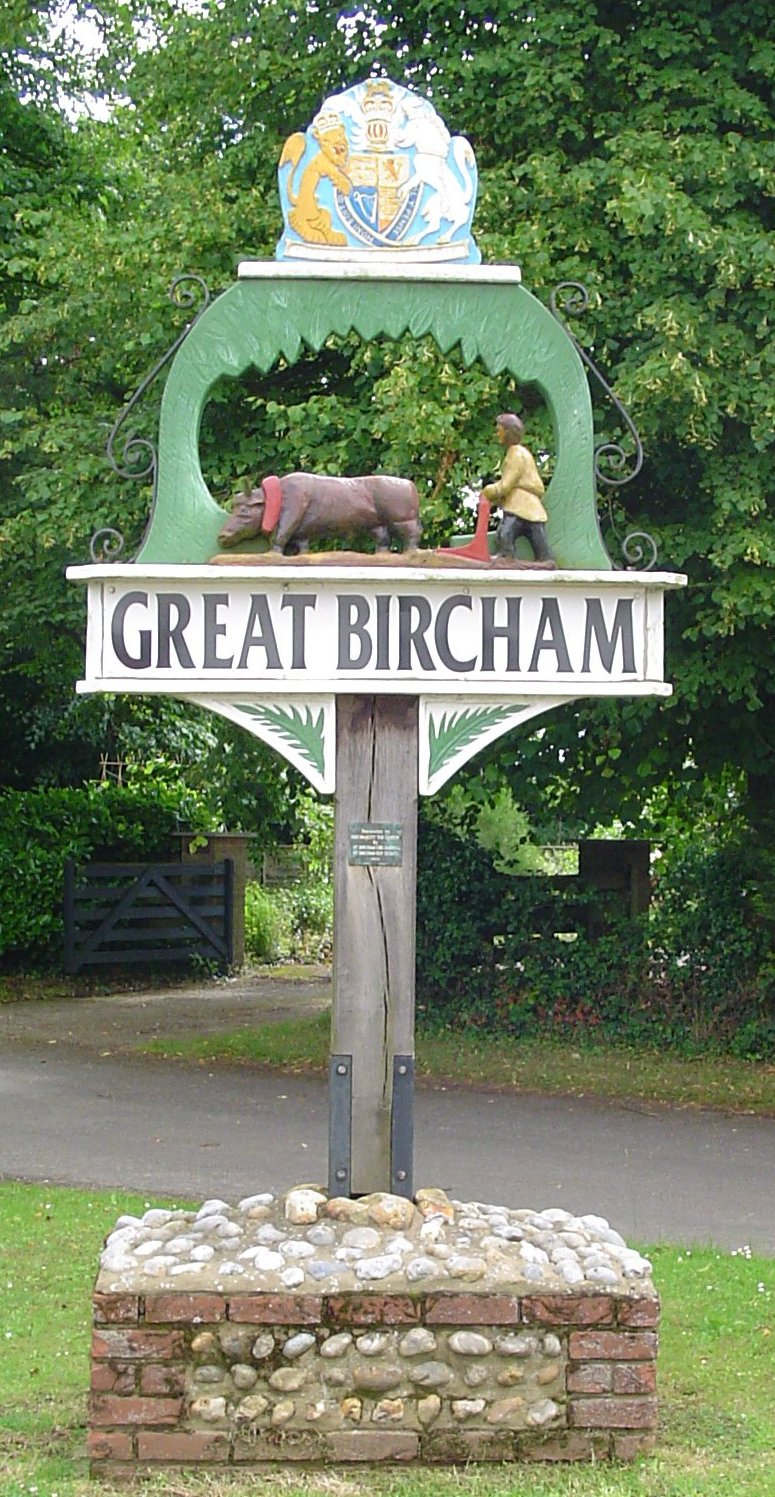
Great Bircham

Great Bircham is the largest of the three villages that make up the civil parish of Bircham, in the west of the English county of Norfolk. The village...

St Mary the Virgin's Church, Great Bircham

St Mary's Church, Great Bircham dates from the 12th-century, and is a Grade I listed parish church in the Church of England Diocese of Norwich in Great...

Bircham

Bircham is a civil parish in the English county of Norfolk. It includes the three villages of Great Bircham, Bircham Newton and Bircham Tofts. The parish...

Bagthorpe, Norfolk

Bagthorpe is a village and former civil parish, now in the parish of Bagthorpe with Barmer, in the King's Lynn and West Norfolk district, in the county...

Bircham Tofts

Bircham Tofts is one of the three villages that make up the civil parish of Bircham, in the west of the English county of Norfolk. The village is located...

Nearby Amenities

Located within 500m of 52.840063,0.60532792
Heath House Farm
Place: farm
Lat/Long: 52.8411554/0.6122082
Power: pole
Lat/Long: 52.8398505/0.605093
Power: pole
Lat/Long: 52.8381909/0.5997409
Power: pole
Lat/Long: 52.8386204/0.6011304
Power: pole
Lat/Long: 52.8390164/0.6024137
Power: pole
Lat/Long: 52.8394281/0.6037421
Power: pole
Lat/Long: 52.8402048/0.6062461
Power: pole
Lat/Long: 52.8405554/0.6073894
Power: pole
Lat/Long: 52.8409111/0.6084727
Power: pole
Lat/Long: 52.8415397/0.609506
Power: pole
Lat/Long: 52.8422138/0.6104779
Power: pole
Lat/Long: 52.8420211/0.6111357
Location Transition: yes
Power: pole
Transformer: distribution
Lat/Long: 52.8417357/0.6120757
The data included in this document is from www.openstreetmap.org. The data is made available under ODbL.

Have you been to Evans Belt?

Leave your review of Evans Belt below (or comments, questions and feedback).