Findon Valley

Settlement in Sussex Worthing

England

Findon Valley

Border of the Southdown National Park Footpath next to a Hill Barn Golf Club.

Park info : <span class="nowrap"><a title="https://en.wikipedia.org/wiki/South_Downs_National_Park" rel="nofollow ugc noopener" href="https://en.wikipedia.org/wiki/South_Downs_National_Park">Link</a><img style="margin-left:2px;" alt="External link" title="External link - shift click to open in new window" src="https://s1.geograph.org.uk/img/external.png" width="10" height="10"/></span>
Border of the Southdown National Park Credit: James Emmans

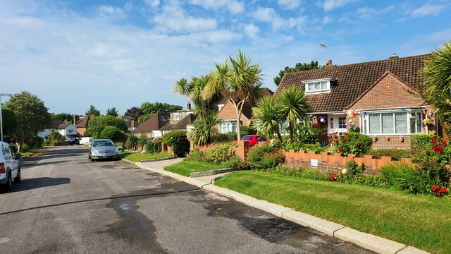
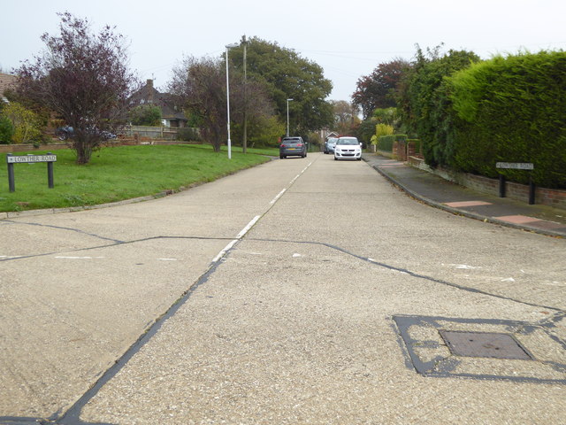
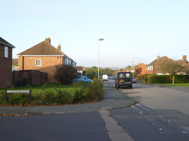
Findon Valley is a picturesque village located in the county of Sussex, England. Situated just north of the South Downs National Park, it offers stunning views of the surrounding countryside. The village is part of the larger town of Worthing and is known for its peaceful atmosphere and natural beauty.

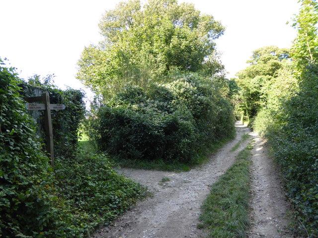
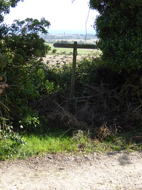
Nature enthusiasts are drawn to Findon Valley for its abundance of outdoor activities. The South Downs Way, a popular long-distance trail, passes through the area, providing opportunities for hiking, cycling, and horseback riding. The nearby Cissbury Ring, an Iron Age hillfort, is another attraction for history buffs and walkers alike.

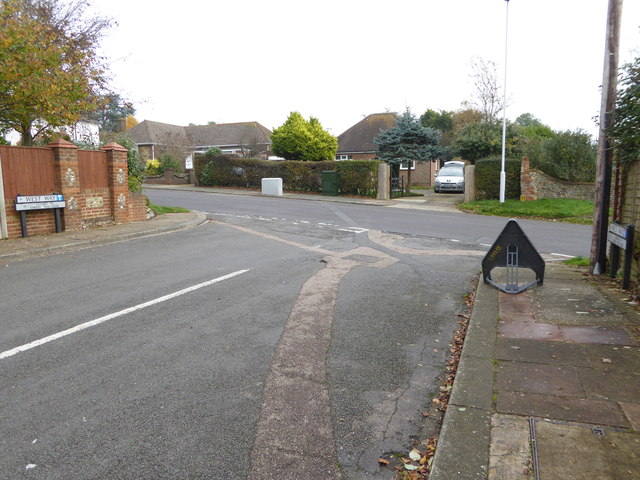
Despite its rural setting, Findon Valley has convenient access to amenities. The village boasts a range of local shops, including a bakery, convenience stores, and a post office. There are also several pubs and restaurants that offer a variety of dining options, from traditional English fare to international cuisine.

Education is well catered for in the area, with Findon Valley Primary School providing education for children aged 4-11. The village also benefits from good transport links, with regular bus services connecting it to the nearby town of Worthing, and the A24 road providing easy access to other parts of Sussex.

Overall, Findon Valley offers a tranquil and idyllic lifestyle for its residents, with its stunning natural surroundings, convenient amenities, and strong sense of community. It is a hidden gem for those seeking a peaceful retreat in the heart of Sussex.

If you have any feedback on the listing, please let us know in the comments section below.

Findon Valley Images

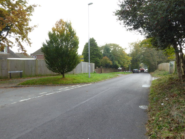
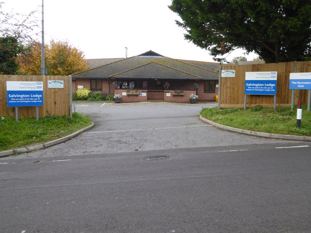
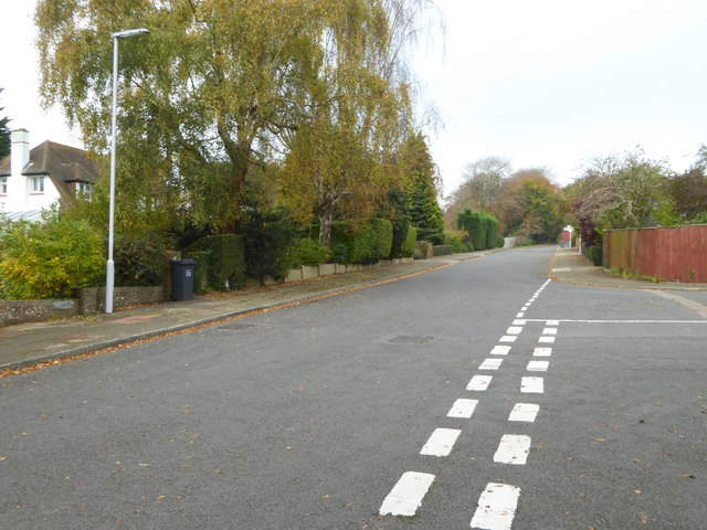
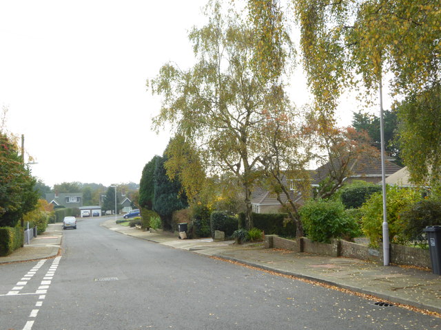
Images are sourced within 2km of 50.848187/-0.396209 or Grid Reference TQ1306. Thanks to Geograph Open Source API. All images are credited.

Border of the Southdown National Park Footpath next to a Hill Barn Golf Club.

Park info : <span class="nowrap"><a title="https://en.wikipedia.org/wiki/South_Downs_National_Park" rel="nofollow ugc noopener" href="https://en.wikipedia.org/wiki/South_Downs_National_Park">Link</a><img style="margin-left:2px;" alt="External link" title="External link - shift click to open in new window" src="https://s1.geograph.org.uk/img/external.png" width="10" height="10"/></span>
Border of the Southdown National Park
Footpath next to a Hill Barn Golf Club. Park info : LinkExternal link
Bungalows in Hillside Avenue Housing on the edge of Worthing.
Bungalows in Hillside Avenue
Housing on the edge of Worthing.
View west across Nepcote Green The building on the left is the Wattle House. It dates from the end of the 1700s when it was used to store wattle hurdles for the sheep pens used during the annual sheep fair. [<span class="nowrap"><a title="https://fancyfreewalks.org/W.Sussex/Findon.pdf" rel="nofollow ugc noopener" href="https://fancyfreewalks.org/W.Sussex/Findon.pdf">Link</a><img style="margin-left:2px;" alt="External link" title="External link - shift click to open in new window" src="https://s1.geograph.org.uk/img/external.png" width="10" height="10"/></span>]
View west across Nepcote Green
The building on the left is the Wattle House. It dates from the end of the 1700s when it was used to store wattle hurdles for the sheep pens used during the annual sheep fair. [LinkExternal link]
Looking north on Charmandean Lane The footpath signed on the left is on the edge of Hill Barn Golf Club.  It has not yet made its way onto OS mapping.
Looking north on Charmandean Lane
The footpath signed on the left is on the edge of Hill Barn Golf Club. It has not yet made its way onto OS mapping.
Steps to building on reservoir
Sign at footpath junction on Charmandean Lane This footpath has not yet made it onto OS mapping - see also <a href="https://www.geograph.org.uk/photo/4675953">TQ1405 : Looking north on Charmandean Lane</a>.
Sign at footpath junction on Charmandean Lane
This footpath has not yet made it onto OS mapping - see also TQ1405 : Looking north on Charmandean Lane.
Looking south on Salvington Hill
Entrance to Salvington Lodge
West Way looking north
West Way looking south
The eastern end of West Way at the junction with Salvington Hill
Looking into Lowther Road
Looking into The Glen
Looking east on Offington Avenue
Looking north on Roedean Road
Looking north on Durrington Lane
Cottages on Durrington Hill
"The Manor House" on Durrington Hill
Show me another place!

Findon Valley is located at Grid Ref: TQ1306 (Lat: 50.848187, Lng: -0.396209)

Administrative County: West Sussex

District: Worthing

Police Authority: Sussex

What 3 Words

///amends.emulating.spit. Near Findon, West Sussex

Nearby Locations

Findon Valley

Related Wikis

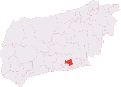
Cissbury (electoral division)

Cissbury is an electoral division of West Sussex in the United Kingdom, and returns one member to sit on West Sussex County Council. == Extent == The division...

Findon Valley

Findon Valley is a neighbourhood of Worthing, in the borough of Worthing in West Sussex, England. It lies on the A24 road 2.9 miles (4.7 km) north of the...

High Salvington

High Salvington is a neighbourhood of Worthing, in the borough of Worthing in West Sussex, England. It is centred 2.5 miles (4.0 km) northwest of the town...

High Salvington Windmill

Durrington or High Salvington Windmill is a Grade II listed post mill in High Salvington, Sussex that has been restored and is in full working order....

Nearby Amenities

Located within 500m of 50.848187,-0.396209
Findon Valley
Is In: West Sussex, England, UK
Place: suburb
Source: npe
Wikidata: Q5450016
Lat/Long: 50.8508937/-0.3984322
Parking
Coome Rise
Lat/Long: 50.8479984/-0.391075
Turning Circle
Lat/Long: 50.8471174/-0.3925212
Turning Circle
Lat/Long: 50.8447008/-0.396665
Bus Stop
Allendale Avenue
Naptan AtcoCode: 4400WO0431
Naptan Bearing: N
Naptan CommonName: Allendale Avenue
Naptan Indicator: adj Geatham Road
Naptan Landmark: Allendale Avenue
Naptan NaptanCode: wsxdpmpm
Naptan Street: Findon Road
Naptan Verified: no
Public Transport: platform
Source: naptan_import
Lat/Long: 50.8445185/-0.3948344
Bus Stop
Allendale Avenue
Naptan AtcoCode: 4400WO0432
Naptan Bearing: S
Naptan CommonName: Allendale Avenue
Naptan Indicator: adj
Naptan Landmark: Allendale Avenue
Naptan NaptanCode: wsxdpmpt
Naptan Street: Findon Road
Naptan Verified: no
Public Transport: platform
Source: naptan_import
Lat/Long: 50.8450348/-0.3950494
Bus Stop
Hillview Rise
Naptan AtcoCode: 4400WO0433
Naptan Bearing: N
Naptan CommonName: Hillview Rise
Naptan Indicator: Lime Tree Avenue
Naptan Landmark: Hillview Rise
Naptan NaptanCode: wsxdpmpw
Naptan Street: Findon Road
Public Transport: platform
Source: naptan_import
Lat/Long: 50.8468124/-0.396614
Bus Stop
Hillview Rise
Naptan AtcoCode: 4400WO0434
Naptan Bearing: S
Naptan CommonName: Hillview Rise
Naptan Indicator: Lime Tree Avenue
Naptan Landmark: Lime Tree Avenue
Naptan NaptanCode: wsxdpmta
Naptan Street: Findon Road
Public Transport: platform
Source: naptan_import
Lat/Long: 50.8468994/-0.3964231
Bus Stop
Cissbury Court
Alt Name: National Express Stop
Bus: yes
Naptan AltCommonName: National Express Stop
Naptan AltStreet: Not Specified
Naptan AtcoCode: 4400WO0435
Naptan Bearing: S
Naptan CommonName: Cissbury Court
Naptan Indicator: adj
Naptan Landmark: Cissbury Avenue
Naptan NaptanCode: wsxdpmtd
Naptan Street: Findon Road
Public Transport: platform
Source: naptan_import
Lat/Long: 50.8491087/-0.3980074
Bus Stop
Cissbury Court
Alt Name: National Express Stop
Bus: yes
Naptan AltCommonName: National Express Stop
Naptan AltStreet: Not Specified
Naptan AtcoCode: 4400WO0436
Naptan Bearing: N
Naptan CommonName: Cissbury Court
Naptan Indicator: adj
Naptan Landmark: Vale Drive
Naptan NaptanCode: wsxdpmtg
Naptan Street: Findon Road
Public Transport: platform
Source: naptan_import
Lat/Long: 50.8494952/-0.3984482
Bus Stop
Central Avenue
Bus: yes
Naptan AtcoCode: 4400WO0437
Naptan Bearing: S
Naptan CommonName: Central Avenue
Naptan Indicator: adj
Naptan Landmark: Central Avenue
Naptan NaptanCode: wsxdpmtj
Naptan Street: Findon Road
Naptan Verified: no
Public Transport: platform
Source: naptan_import
Lat/Long: 50.8517662/-0.3994005
Noexit: yes
Lat/Long: 50.8467037/-0.396166
Atm
Lat/Long: 50.8491566/-0.397856
Noexit: yes
Lat/Long: 50.8516575/-0.3995928
Bench
Lat/Long: 50.8496068/-0.4001158
Post Box
Brand: Post Office
Brand Wikidata: Q1783168
Brand Wikipedia: en:Post Office Ltd
Operator: Post Office
Operator Wikidata: Q1783168
Post Box Type: lamp
Ref: BN14 1823D
Royal Cypher: EIIR
Royal Cypher Wikidata: Q33102113
Lat/Long: 50.8496373/-0.40014
Post Box
Brand: Post Office
Brand Wikidata: Q1783168
Brand Wikipedia: en:Post Office Ltd
Operator: Post Office
Operator Wikidata: Q1783168
Post Box Type: lamp
Ref: BN14 1773D
Royal Cypher: EIIR
Royal Cypher Wikidata: Q33102113
Lat/Long: 50.8461309/-0.3978159
Generator Method: photovoltaic
Generator Output Electricity: yes
Generator Source: solar
Generator Type: solar_photovoltaic_panel
Location: roof
Power: generator
Lat/Long: 50.8447574/-0.3976311
Generator Method: photovoltaic
Generator Output Electricity: yes
Generator Source: solar
Generator Type: solar_photovoltaic_panel
Location: roof
Power: generator
Lat/Long: 50.8451742/-0.3978324
Generator Output Electricity: yes
Generator Source: solar
Generator Type: solar_photovoltaic_panel
Location: roof
Power: generator
Lat/Long: 50.8456813/-0.4020926
Generator Method: photovoltaic
Generator Output Electricity: yes
Generator Source: solar
Generator Type: solar_photovoltaic_panel
Location: roof
Power: generator
Lat/Long: 50.8442862/-0.3974638
Generator Method: photovoltaic
Generator Output Electricity: yes
Generator Source: solar
Generator Type: solar_photovoltaic_panel
Location: roof
Power: generator
Lat/Long: 50.8517191/-0.3985648
Generator Method: photovoltaic
Generator Output Electricity: yes
Generator Source: solar
Generator Type: solar_photovoltaic_panel
Location: roof
Power: generator
Lat/Long: 50.8490192/-0.3966719
Generator Method: photovoltaic
Generator Output Electricity: yes
Generator Source: solar
Generator Type: solar_photovoltaic_panel
Location: roof
Power: generator
Lat/Long: 50.846902/-0.3913092
Generator Method: photovoltaic
Generator Output Electricity: yes
Generator Source: solar
Generator Type: solar_photovoltaic_panel
Location: roof
Power: generator
Lat/Long: 50.8457106/-0.392037
Generator Method: photovoltaic
Generator Output Electricity: yes
Generator Source: solar
Generator Type: solar_photovoltaic_panel
Location: roof
Power: generator
Lat/Long: 50.8493653/-0.3994318
Generator Method: photovoltaic
Generator Output Electricity: yes
Generator Source: solar
Generator Type: solar_photovoltaic_panel
Location: roof
Power: generator
Lat/Long: 50.8507597/-0.3993927
Cafe
Wild Bean Cafe
Brand: Wild Bean Cafe
Brand Wikidata: Q61804826
Cuisine: coffee_shop
Takeaway: yes
Lat/Long: 50.8501167/-0.3993051
Post Box
Brand: Royal Mail
Brand Wikidata: Q638098
Operator: Royal Mail
Operator Wikidata: Q638098
Royal Cypher: GR
Royal Cypher Wikidata: Q33102273
Lat/Long: 50.8445383/-0.3945881
Post Box
Brand: Royal Mail
Brand Wikidata: Q638098
Operator: Royal Mail
Operator Wikidata: Q638098
Royal Cypher: GVIR
Royal Cypher Wikidata: Q33102169
Lat/Long: 50.8479136/-0.3939778
Post Box
Brand: Royal Mail
Brand Wikidata: Q638098
Operator: Royal Mail
Operator Wikidata: Q638098
Royal Cypher: GVIR
Royal Cypher Wikidata: Q33102169
Lat/Long: 50.8524494/-0.3978751
Post Box
Brand: Royal Mail
Brand Wikidata: Q638098
Operator: Royal Mail
Operator Wikidata: Q638098
Lat/Long: 50.8503522/-0.3928478
Disused Shop: computer
Old Name: PC Help
Lat/Long: 50.8494053/-0.3979687
Crossing
Button Operated: yes
Crossing: traffic_signals
Crossing Island: no
Crossing Markings: dots;yes
Crossing Ref: puffin
Kerb: flush
Tactile Paving: yes
Lat/Long: 50.8463532/-0.3961381
Crossing
Button Operated: no
Crossing: uncontrolled
Crossing Island: no
Crossing Markings: no
Kerb: flush
Tactile Paving: yes
Lat/Long: 50.8493943/-0.3981238
Crossing
Button Operated: yes
Crossing: traffic_signals
Crossing Island: no
Crossing Markings: dots;yes
Crossing Ref: puffin
Kerb: flush
Tactile Paving: yes
Traffic Signals Sound: yes
Lat/Long: 50.8493715/-0.3982235
Crossing
Button Operated: yes
Crossing: traffic_signals
Crossing Island: no
Crossing Markings: dots;yes
Crossing Ref: puffin
Kerb: flush
Tactile Paving: yes
Traffic Signals Sound: yes
Lat/Long: 50.8492615/-0.3982833
The data included in this document is from www.openstreetmap.org. The data is made available under ODbL.

Have you been to Findon Valley?

Leave your review of Findon Valley below (or comments, questions and feedback).