Broom Belt
Wood, Forest in Norfolk King's Lynn and West Norfolk
England
Broom Belt

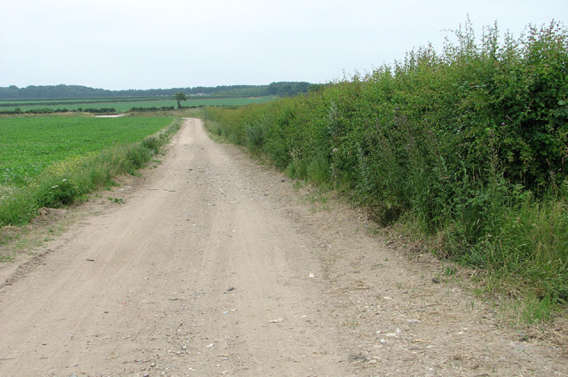
Broom Belt is a small village located in the county of Norfolk, in the eastern part of England. Nestled amidst the picturesque woodlands and forests of the region, it is known for its natural beauty and tranquil surroundings. The village is situated in close proximity to the popular tourist destinations of Thetford Forest and the Norfolk Broads.
As its name suggests, Broom Belt is characterized by a dense belt of broom shrubs that grow abundantly in the area. These vibrant yellow flowers provide a stunning contrast against the lush greenery of the surrounding woodlands, attracting visitors and nature enthusiasts throughout the year.
The village itself is a quaint and charming rural settlement, with a small population of friendly and welcoming locals. It features traditional Norfolk architecture, with several historic thatched-roof cottages dotting the landscape. The village also has a small village hall, which serves as a community center for various activities and events.
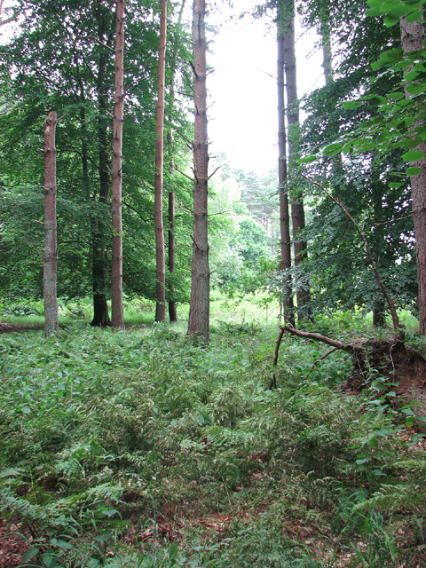
Broom Belt offers a range of outdoor activities for visitors to enjoy. The nearby Thetford Forest is a haven for nature lovers, offering numerous walking trails, cycling routes, and picnic spots. The forest is also home to a diverse array of wildlife, including deer, foxes, and various bird species.
For those seeking a more leisurely experience, the Norfolk Broads are easily accessible from Broom Belt. This extensive network of rivers and lakes offers opportunities for boating, fishing, and observing the unique ecosystems and wildlife that thrive in this beautiful wetland area.
In summary, Broom Belt is a charming village nestled in the woodlands of Norfolk, offering a peaceful and scenic retreat for nature lovers and outdoor enthusiasts.
If you have any feedback on the listing, please let us know in the comments section below.
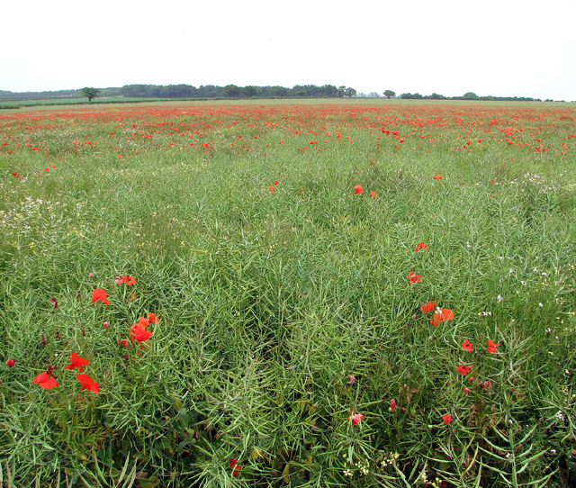
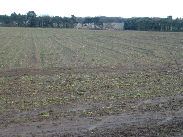
Broom Belt Images
Images are sourced within 2km of 52.718636/0.59424743 or Grid Reference TF7516. Thanks to Geograph Open Source API. All images are credited.


Broom Belt is located at Grid Ref: TF7516 (Lat: 52.718636, Lng: 0.59424743)
Administrative County: Norfolk
District: King's Lynn and West Norfolk
Police Authority: Norfolk
What 3 Words
///removed.heckler.carbon. Near Narborough, Norfolk
Nearby Locations
Related Wikis

East Walton
East Walton is a village in the English county of Norfolk. The village is located 7.8 miles (12.6 km) south-east of King's Lynn and 31 miles (50 km) north...

East Walton and Adcock's Common
East Walton and Adcock's Common is a 62.4-hectare (154-acre) biological and geological Site of Special Scientific Interest south-east of King's Lynn in...
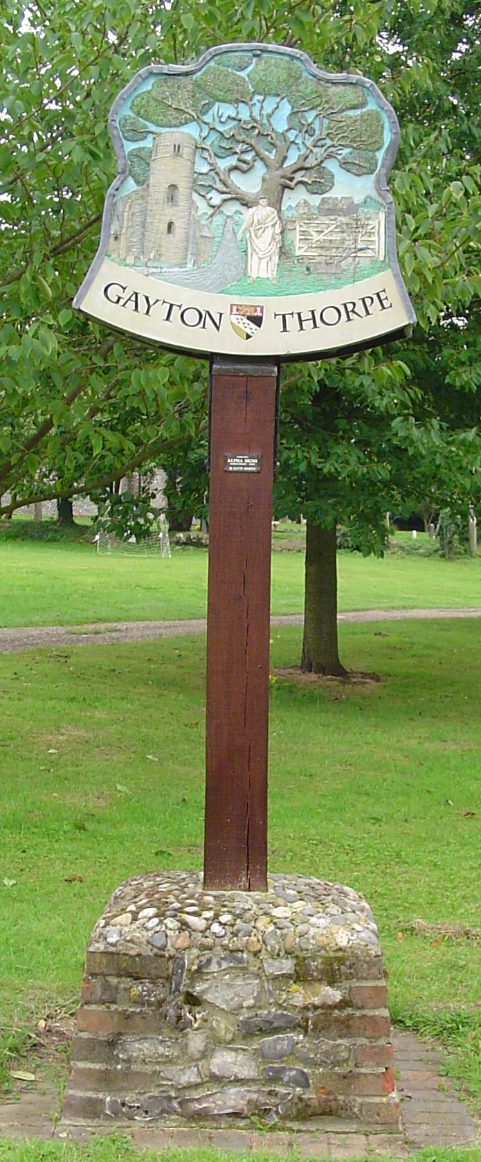
Gayton Thorpe
Gayton Thorpe is a village and former civil parish, now in the parish of Gayton, in the King's Lynn and West Norfolk district, in the county of Norfolk...

Gayton Thorpe Roman Villa
Gayton Thorpe Roman Villa is the site of a Roman villa, near Gayton Thorpe and about 5 miles (8 km) east of King's Lynn, in Norfolk, England. It was discovered...
Have you been to Broom Belt?
Leave your review of Broom Belt below (or comments, questions and feedback).