Cavenham Belt
Wood, Forest in Suffolk West Suffolk
England
Cavenham Belt

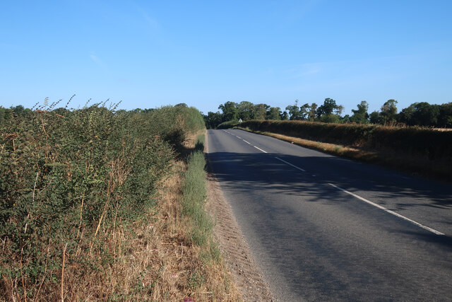
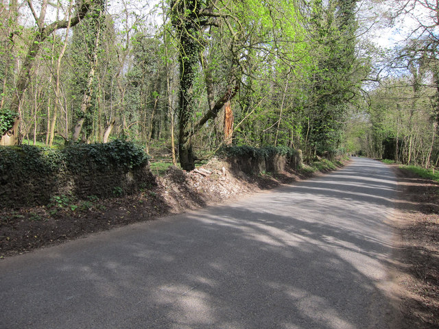
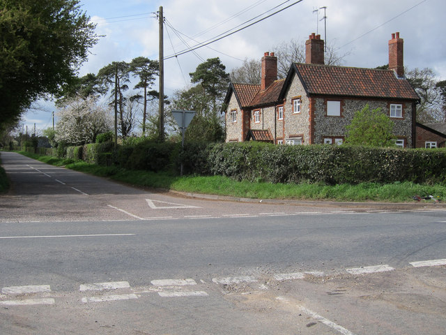
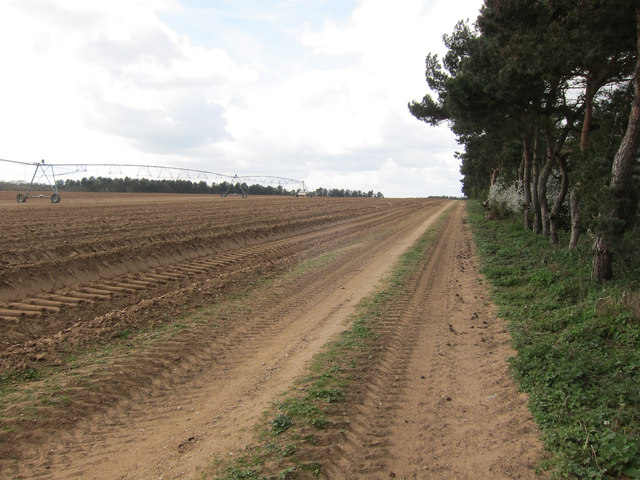
Cavenham Belt, located in Suffolk, England, is a picturesque woodland area known for its natural beauty and rich biodiversity. Spanning an area of approximately 1,000 acres, it is a designated Site of Special Scientific Interest (SSSI) due to its ecological importance.
The woodland is predominantly made up of ancient oak and hazel trees, creating a dense and diverse forest canopy. This diverse habitat provides a sanctuary for a wide range of wildlife, including rare and protected species. The enchanting woodland floor is adorned with an array of wildflowers, such as bluebells, wood anemones, and primroses, adding to the charm of the area.
Cavenham Belt is also home to several rare and protected bird species, including the lesser spotted woodpecker and nightjar. These birds thrive in the woodland due to the abundance of insects and invertebrates found in the area. Additionally, the forest provides a vital corridor for many woodland mammals, including badgers, foxes, and roe deer.
The area is a popular destination for nature enthusiasts, offering various walking trails that allow visitors to explore the beauty of the woodland. The ancient trees provide a tranquil and peaceful atmosphere, making it an ideal spot for nature lovers to relax and connect with the natural world.
Cavenham Belt is not only a haven for wildlife but also plays a crucial role in carbon sequestration, helping to mitigate the effects of climate change. The woodland acts as a carbon sink, absorbing and storing large amounts of carbon dioxide.
Overall, Cavenham Belt in Suffolk is a remarkable woodland area that provides a haven for wildlife, offers stunning natural scenery, and contributes to the conservation of the environment.
If you have any feedback on the listing, please let us know in the comments section below.
Cavenham Belt Images
Images are sourced within 2km of 52.27965/0.56705644 or Grid Reference TL7567. Thanks to Geograph Open Source API. All images are credited.


Cavenham Belt is located at Grid Ref: TL7567 (Lat: 52.27965, Lng: 0.56705644)
Administrative County: Suffolk
District: West Suffolk
Police Authority: Suffolk
What 3 Words
///surveyed.triathlon.initiated. Near Mildenhall, Suffolk
Nearby Locations
Related Wikis

Higham railway station (Suffolk)
Higham railway station was a station serving Higham in the English county of Suffolk. It was opened by the Great Eastern Railway in 1854 when the railway...

A14 road (England)
The A14 is a major trunk road in England, running 127 miles (204 km) from Catthorpe Interchange, a major intersection at the southern end of the M6 and...

Cavenham
Cavenham is a village and civil parish in Suffolk, England, 10 kilometres (6 mi) northwest of Bury St Edmunds. It is in the local government district of...

Black Ditches, Cavenham
Black Ditches is an earthwork close to the village of Cavenham of Suffolk, and part of it is a biological Site of Special Scientific Interest (SSSI). The...
Higham, West Suffolk
Higham is a village and civil parish in the West Suffolk district of Suffolk in the east of England. Located midway between Bury St Edmunds and Newmarket...

RAF Tuddenham
Royal Air Force Tuddenham or RAF Tuddenham is a former Royal Air Force station located 3.2 miles (5.1 km) south east of Mildenhall, Suffolk, England and...

Icklingham
Icklingham is a village and civil parish in the West Suffolk district of Suffolk in eastern England. It is located about 7 miles (11 km) north-west of...

Tuddenham
Tuddenham is a village and civil parish in the West Suffolk district of Suffolk in eastern England. In 2005 it had a population of 450. falling to 423...
Have you been to Cavenham Belt?
Leave your review of Cavenham Belt below (or comments, questions and feedback).