Gravelpit Plantation
Wood, Forest in Norfolk King's Lynn and West Norfolk
England
Gravelpit Plantation

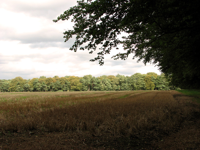
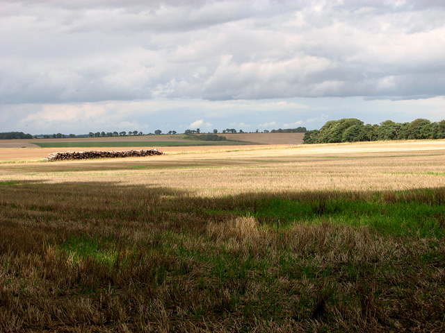
Gravelpit Plantation is a historic woodland area located in Norfolk, England. Situated in the heart of the county, this sprawling woodland encompasses an area of approximately 500 acres, making it one of the largest forests in the region. The plantation derives its name from the gravel deposits found beneath the surface of the land, which were historically used for construction purposes.
The woodland is predominantly made up of a diverse range of indigenous tree species, including oak, beech, and birch, which form a dense canopy overhead. These trees provide an ideal habitat for a variety of wildlife, such as red deer, foxes, and numerous bird species, making Gravelpit Plantation a popular spot for nature enthusiasts and birdwatchers.
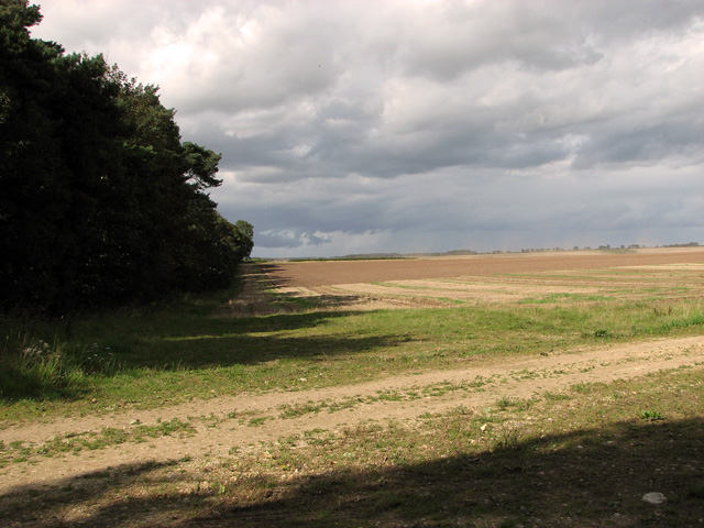
Traversing through the woodland, visitors will find a network of well-maintained walking trails, allowing them to explore the natural beauty of the area. These trails are suitable for all abilities, with options for longer hikes or shorter, leisurely strolls. Alongside the trails, there are several informative signposts that provide interesting facts about the local flora and fauna, adding an educational aspect to the experience.
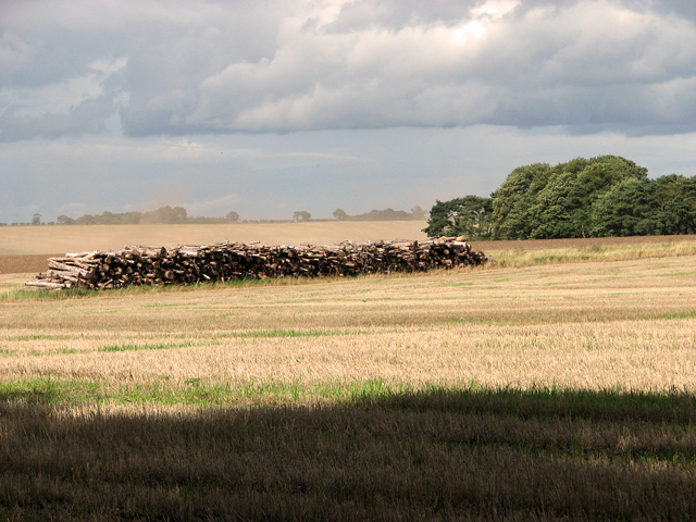
Gravelpit Plantation is managed by the local forestry commission, who undertake regular maintenance to ensure the health and sustainability of the woodland. This includes tree planting initiatives and selective thinning to maintain a balanced ecosystem.
Overall, Gravelpit Plantation offers a peaceful and scenic escape from the hustle and bustle of city life. Its rich biodiversity, combined with well-maintained trails and educational resources, make it a favorite destination for nature lovers and a valuable asset to the local community.
If you have any feedback on the listing, please let us know in the comments section below.
Gravelpit Plantation Images
Images are sourced within 2km of 52.757032/0.59421726 or Grid Reference TF7520. Thanks to Geograph Open Source API. All images are credited.


Gravelpit Plantation is located at Grid Ref: TF7520 (Lat: 52.757032, Lng: 0.59421726)
Administrative County: Norfolk
District: King's Lynn and West Norfolk
Police Authority: Norfolk
What 3 Words
///mouths.somewhere.thrusters. Near Grimston, Norfolk
Nearby Locations
Related Wikis
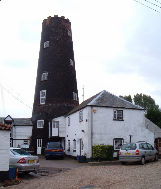
Gayton Windmill, Norfolk
For the Gayton Windmill now in Merseyside see Gayton Windmill, Cheshire Gayton Mill is a Grade II listed tower mill at Gayton, Norfolk, England which...
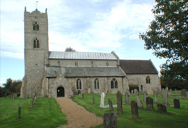
St Nicholas Church, Gayton
St Nicholas Church is a Church of England church located in Gayton, Norfolk. == Overview == The construction of the church building was completed in 1604...

Gayton, Norfolk
Gayton is a village and civil parish in the English county of Norfolk. The village is located 6 miles (9.7 km) east of King's Lynn and 32 miles (51 km...

Gayton Thorpe Roman Villa
Gayton Thorpe Roman Villa is the site of a Roman villa, near Gayton Thorpe and about 5 miles (8 km) east of King's Lynn, in Norfolk, England. It was discovered...

Grimston, Norfolk
Grimston is a village and civil parish in the English county of Norfolk, approximately 6 miles north-east of King's Lynn. It covers an area of 18.08 km2...
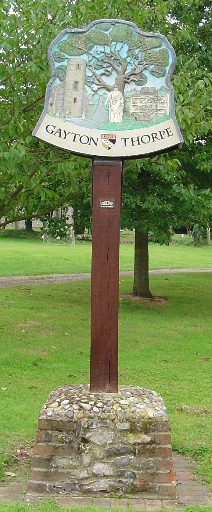
Gayton Thorpe
Gayton Thorpe is a village and former civil parish, now in the parish of Gayton, in the King's Lynn and West Norfolk district, in the county of Norfolk...
KL.FM 96.7
KL.FM 96.7 (King's Lynn FM) was an Independent Local Radio station located in King's Lynn, Norfolk, England. It broadcast from a former bank building at...

Congham
Congham is a village and civil parish in the English county of Norfolk. It is situated some 6 miles (10 km) east of the town of King's Lynn and 34 miles...
Have you been to Gravelpit Plantation?
Leave your review of Gravelpit Plantation below (or comments, questions and feedback).