Bushy Wood
Wood, Forest in Essex Chelmsford
England
Bushy Wood

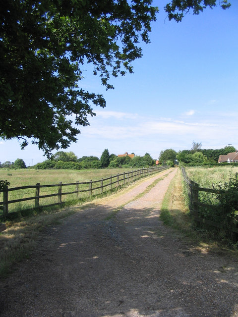
Bushy Wood is a picturesque forest located in the county of Essex, England. Covering an area of approximately 60 hectares, it is a popular destination for nature enthusiasts and outdoor enthusiasts alike. The woodland is situated between the towns of Brentwood and Billericay, providing a tranquil escape from the hustle and bustle of urban life.
Bushy Wood is characterized by its dense tree cover, predominantly consisting of native species such as oak, beech, and birch. These towering trees create a vibrant canopy that provides shade and shelter for a diverse range of wildlife. The forest floor is adorned with a rich carpet of woodland plants, including bluebells, primroses, and wild garlic, which add splashes of color to the landscape during the spring and summer months.
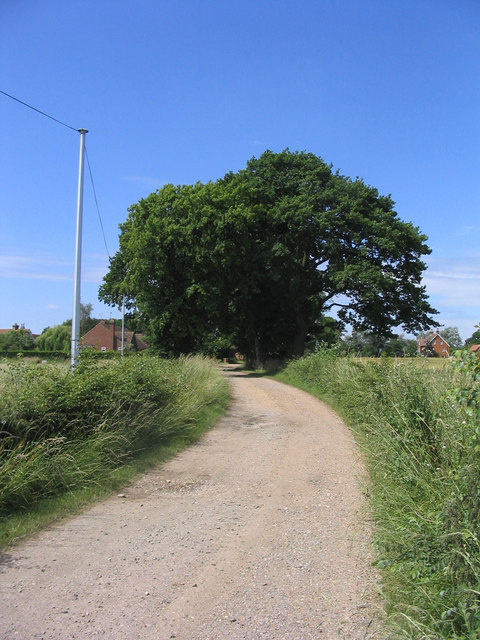
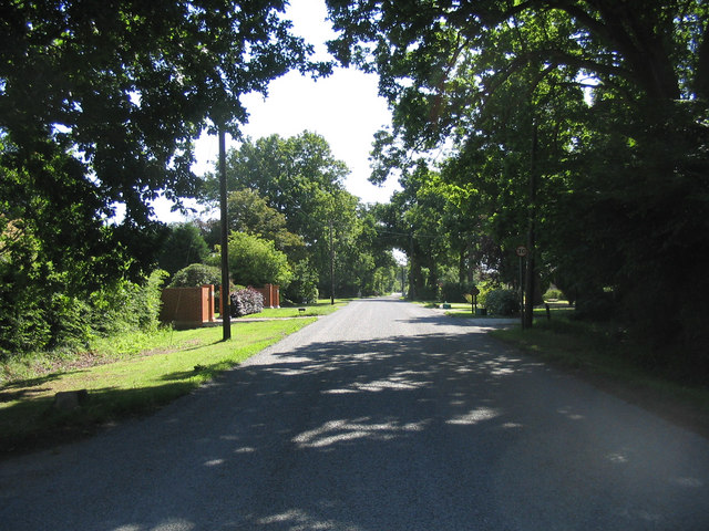
The wood offers a network of well-maintained footpaths and trails, allowing visitors to explore its natural beauty at their own pace. These paths wind through the forest, leading to hidden clearings, babbling brooks, and enchanting glades. As visitors stroll through the wood, they may be lucky enough to spot some of the resident wildlife, including deer, badgers, foxes, and a variety of bird species.
Bushy Wood is a designated Site of Special Scientific Interest (SSSI) due to its ecological significance. It is managed by the local authorities, who ensure the conservation and protection of the woodland's natural habitat. The forest also serves as an educational resource, with interpretive signs and information boards placed strategically throughout, offering insights into the flora and fauna that call Bushy Wood their home.
Overall, Bushy Wood is a captivating destination for nature lovers, offering a tranquil haven where visitors can immerse themselves in the beauty of the Essex countryside.
If you have any feedback on the listing, please let us know in the comments section below.
Bushy Wood Images
Images are sourced within 2km of 51.681618/0.52999865 or Grid Reference TL7501. Thanks to Geograph Open Source API. All images are credited.


Bushy Wood is located at Grid Ref: TL7501 (Lat: 51.681618, Lng: 0.52999865)
Administrative County: Essex
District: Chelmsford
Police Authority: Essex
What 3 Words
///routines.solutions.cubed. Near Bicknacre, Essex
Nearby Locations
Related Wikis
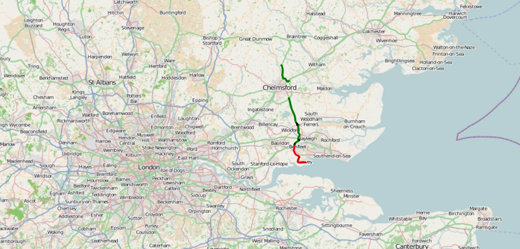
A130 road
The A130 is a major road in England linking Little Waltham, near Chelmsford, the county town of Essex, with Canvey Island in the south of that county....

Howe Green, Chelmsford
Howe Green is a village in the civil parish of Sandon, in the Chelmsford district, in the county, Essex, England. In 2011 it had a population of 666....

East Hanningfield
East Hanningfield is a small village in south Essex, England. It is situated to the southeast of Chelmsford and to the northwest of South Woodham Ferrers...

West Hanningfield
West Hanningfield is a small village and civil parish in south Essex, England. It is located approximately 5 mi (8.0 km) south-south-east of the county...

Hanningfield Reservoir
Hanningfield Reservoir is a large 25,500-million-litre (900,000,000 cu ft) pumped storage reservoir located between Billericay and Chelmsford in Essex...

Rettendon
Rettendon is a small village and civil parish in the Borough of Chelmsford in Essex, England, about 8 miles (13 km) south east of the city of Chelmsford...
Marconi Research Centre
Marconi Research Centre is the former name of the current BAE Systems Applied Intelligence Laboratories facility at Great Baddow in Essex, United Kingdom...
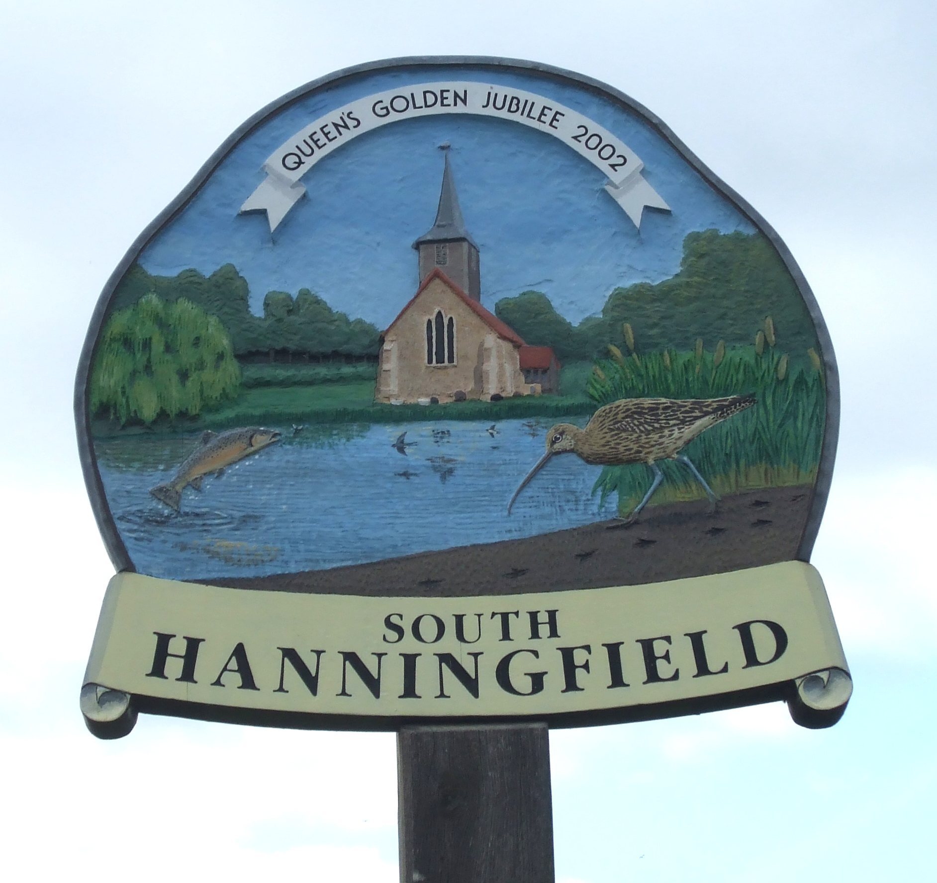
South Hanningfield
South Hanningfield is a small village and civil parish in the Chelmsford district of Essex, England. The village is located on the south bank of the Hanningfield...
Nearby Amenities
Located within 500m of 51.681618,0.52999865Have you been to Bushy Wood?
Leave your review of Bushy Wood below (or comments, questions and feedback).