Fincham

Settlement in Norfolk King's Lynn and West Norfolk

England

Fincham

Wheat field towards Boughton Road
Wheat field towards Boughton Road Credit: Hugh Venables

The requested URL returned error: 429 Too Many Requests

If you have any feedback on the listing, please let us know in the comments section below.
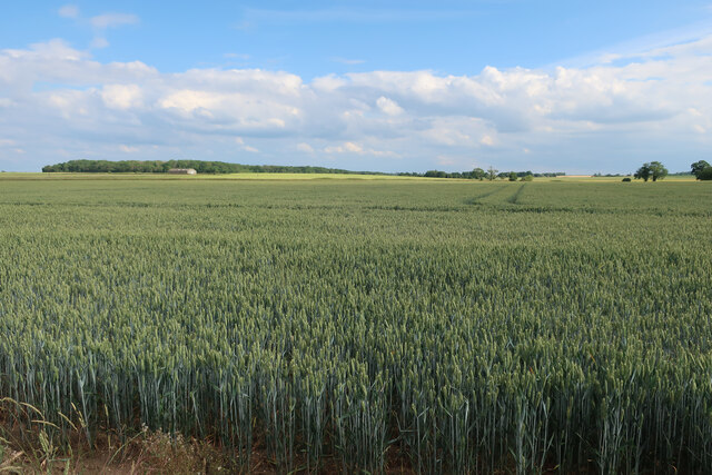
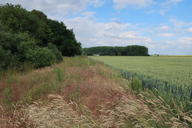
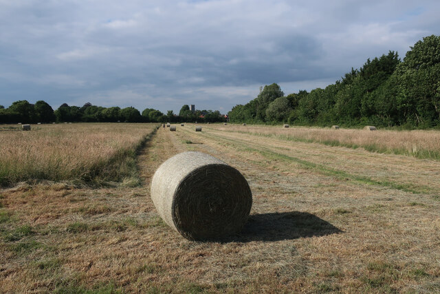
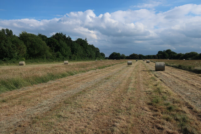
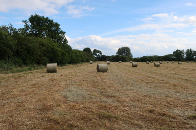
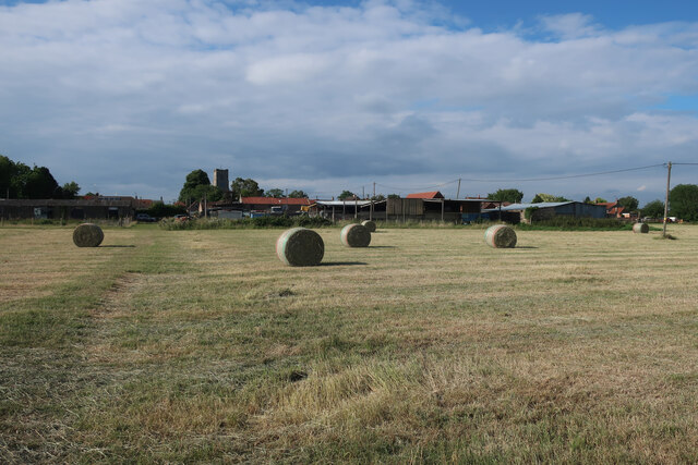
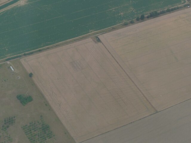
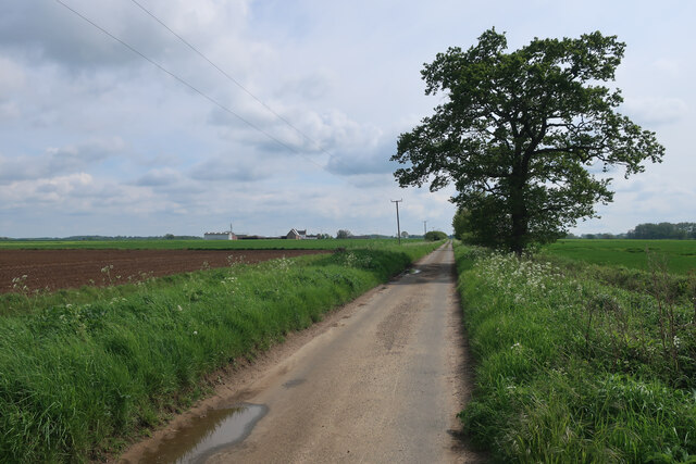
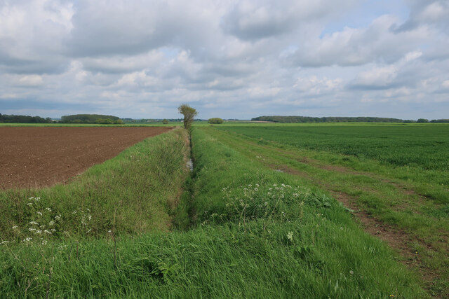
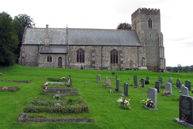
Fincham Images

Images are sourced within 2km of 52.631547/0.49465469 or Grid Reference TF6806. Thanks to Geograph Open Source API. All images are credited.

Wheat field towards Boughton Road
Footpath towards Fincham
Footpath to Fincham Through a partly harvested hay meadow.
Footpath to Fincham
Through a partly harvested hay meadow.
Path from Fincham Taking a more pragmatic route than the mapped path.
Path from Fincham
Taking a more pragmatic route than the mapped path.
Path through wheat field Well instated through the crop.
Path through wheat field
Well instated through the crop.
Wheat field by Hillside Farm
Footpath from Fincham Well instated through a large wheat field.
Footpath from Fincham
Well instated through a large wheat field.
Hay bales near Fincham
Footpath into Fincham
Cropmark on field near Fincham: aerial 2022
Cemetery, St Martin's church
Norwich Road
Norwich Road
Bowl Wood Farm
Bowl Wood Farm
Cunnington's Barn
Cunnington's Barn
Bowl Wood
Bowl Wood
Black Drove
Black Drove
Footpath from Black Drove
Church of St Martin
Church of St Martin
Show me another place!

Fincham is located at Grid Ref: TF6806 (Lat: 52.631547, Lng: 0.49465469)

Administrative County: Norfolk

District: King's Lynn and West Norfolk

Police Authority: Norfolk

What 3 Words

///desire.coaster.throat. Near Stoke Ferry, Norfolk

Nearby Locations

Fincham

Related Wikis

Fincham

Fincham is a village and civil parish the English county of Norfolk. The village is located 9.4 miles (15.1 km) south of King's Lynn and 34 miles (55 km...

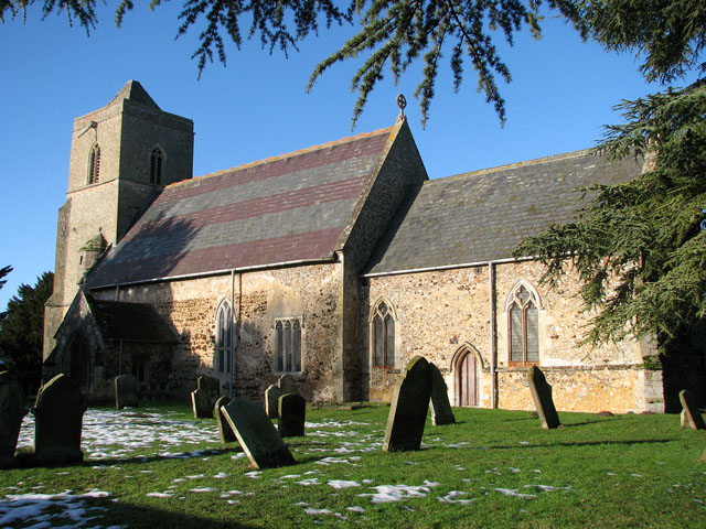
St Andrew's Church, Barton Bendish

St Andrew's Church is a medieval Anglican parish church in the village of Barton Bendish, Norfolk, England. This village used to have two more parish churches...

St Mary's Church, Barton Bendish

St Mary's Church is a redundant medieval Anglican church in the village of Barton Bendish, Norfolk, England. This village had two more parish churches...

Shouldham

Shouldham is a village and civil parish in the English county of Norfolk. It covers an area of 16.04 km2 (6.19 sq mi) and had a population of 608 in 246...

Nearby Amenities

Located within 500m of 52.631547,0.49465469
Post Box
Operator: Royal Mail
Operator Wikidata: Q638098
Post Box Design: type_m
Post Box Mounting: pier
Post Box Type: lamp
Ref: PE33 342
Lat/Long: 52.6295482/0.4941675
Fincham
Inscription: WI
Man Made: village_sign
Material: metal
Place: village
Lat/Long: 52.6287969/0.4899679
Post Office
Fincham Post Office
Lat/Long: 52.6296316/0.4940603
church, opp
Naptan AtcoCode: 2900F082
Naptan Bearing: SW
Naptan BusStopType: CUS
Naptan CommonName: church
Naptan Indicator: opp
Naptan Landmark: church
Naptan Locality: Fincham
Naptan NaptanCode: nfoapmdg
Naptan ShortCommonName: church
Naptan Street: High Street
Physically Present: yes
Source: naptan_import;survey
Lat/Long: 52.6292655/0.4930923
church, adj
Naptan AtcoCode: 2900F081
Naptan Bearing: NE
Naptan BusStopType: CUS
Naptan CommonName: church
Naptan Indicator: adj
Naptan Landmark: church
Naptan Locality: Fincham
Naptan NaptanCode: nfoapmda
Naptan ShortCommonName: church
Naptan Street: High Street
Physically Present: yes
Source: naptan_import;survey
Lat/Long: 52.6293957/0.4933362
Note: Way continues west
Lat/Long: 52.6279394/0.4914862
Parking
Access: yes
Fee: no
Parking: surface
Lat/Long: 52.6288422/0.4900264
Barrier: stile
Bicycle: no
Foot: yes
Stile: stepover
Lat/Long: 52.6292928/0.4924119
Entrance: main
Lat/Long: 52.6295462/0.4926004
Barrier: stile
Bicycle: no
Foot: yes
Lat/Long: 52.629999/0.492328
Bench
Backrest: yes
Material: wood
Seats: 3
Lat/Long: 52.6305393/0.492451
Barrier: stile
Bicycle: no
Foot: yes
Material: wood
Stile: stepover
Lat/Long: 52.6310922/0.4922921
War Memorial
Description: Stone cross atop a large square pedestal.
Historic: memorial
Image: http://www.downham-rbl.org.uk/Shozam/20/med/war_memorial_at_Fincham_church.htm
Inscription: To the Glory of God and in Affectionate and Grateful Remembrance of the Men of this Parish Who Gave Their Lives in the Great War 1914-1918 (12 mens names engraved and the places they died) 1939-1945 (5 mens names engraved)
Website: http://www.roll-of-honour.com/Norfolk/Fincham.html
Lat/Long: 52.6294257/0.4930037
Description: Engraved stone plaque attached to interior of church wall.
Historic: memorial
Indoor: yes
Inscription: In Memory of Those of this Parish Who Gave Their Lives in the great War 1939-1945 (5 mens names engraved)
Megalith Type: plaque
Memorial: plaque
Lat/Long: 52.629714/0.4927238
Entrance: yes
Lat/Long: 52.6296223/0.4929149
Barrier: yes
Lat/Long: 52.6280216/0.4928978
The data included in this document is from www.openstreetmap.org. The data is made available under ODbL.

Have you been to Fincham?

Leave your review of Fincham below (or comments, questions and feedback).