Burntfield Plantation

Wood, Forest in Suffolk West Suffolk

England

Burntfield Plantation

St Nicholas Church Denston St Nicholas Church in Denston has been described as a ‘wonderful example of a late Perpendicular Suffolk church’ and it does not disappoint. It is built on the site of a 12th-century church, but the core of the current building is almost entirely late 15th century, with a 14th century west tower.
Inside the church are a series of beautifully carved bench ends and a magnificently carved wall plate frieze running the entire length of the church on both sides.
St Nicholas Church Denston Credit: Richard Rogerson

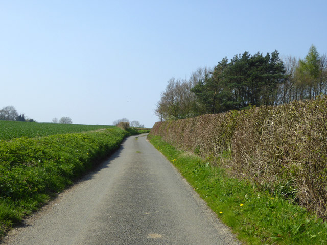
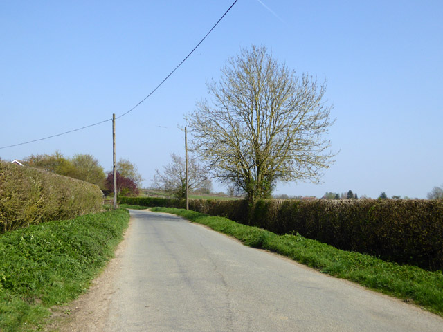
Burntfield Plantation is a sprawling woodland located in Suffolk, England. Covering an area of approximately 500 acres, this plantation is a significant natural habitat and recreational area for both locals and tourists.

The woodland is dominated by a variety of tree species, including oak, beech, and pine, which create a diverse and vibrant landscape. The rich soil and favorable climate in this region contribute to the thriving growth of the vegetation. The forest floor is covered in a thick layer of moss, ferns, and wildflowers, creating a picturesque and enchanting atmosphere.

Burntfield Plantation is not only a haven for flora, but it also supports a diverse range of wildlife. The woodland provides a habitat for various bird species, such as woodpeckers, owls, and blue tits. In addition, small mammals like squirrels, rabbits, and hedgehogs can be spotted among the trees. The plantation is also home to several species of deer, including roe deer and muntjac deer, which can be observed grazing in their natural habitat.

This plantation offers an array of recreational activities for visitors. There are well-maintained walking trails that wind through the woodland, allowing visitors to explore and appreciate the natural beauty. The plantation also boasts picnic areas, where visitors can relax and enjoy the tranquility of the surroundings. Furthermore, the woodland is popular for birdwatching, photography, and nature study.

Overall, Burntfield Plantation is a magnificent woodland in Suffolk, offering a sanctuary for nature enthusiasts and a serene setting for those seeking solace in the beauty of the natural world.

If you have any feedback on the listing, please let us know in the comments section below.

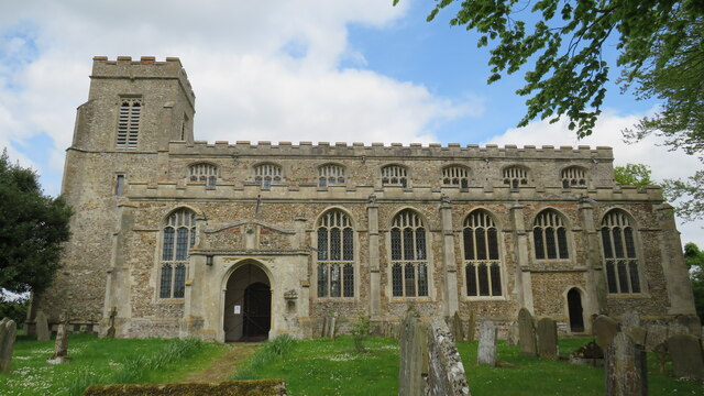
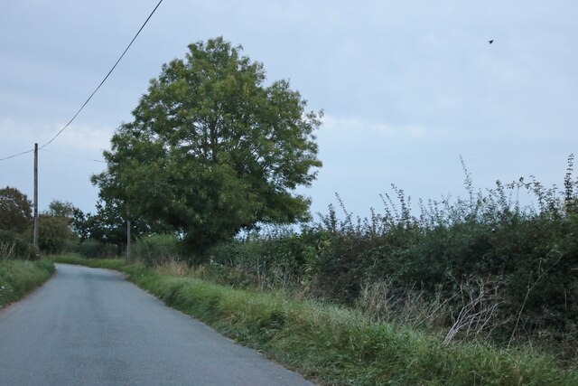
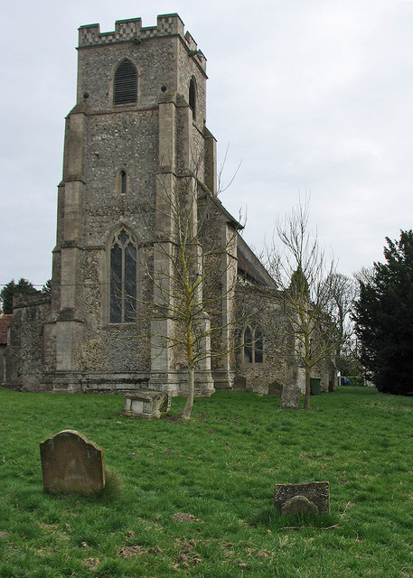
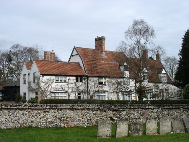
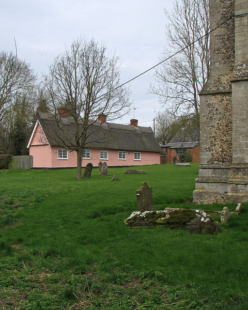
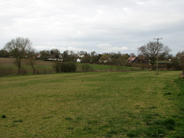
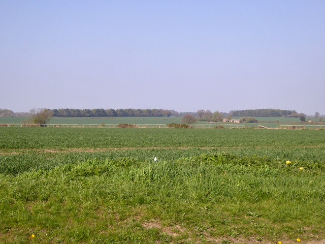
Burntfield Plantation Images

Images are sourced within 2km of 52.150114/0.54996226 or Grid Reference TL7453. Thanks to Geograph Open Source API. All images are credited.

St Nicholas Church Denston St Nicholas Church in Denston has been described as a ‘wonderful example of a late Perpendicular Suffolk church’ and it does not disappoint. It is built on the site of a 12th-century church, but the core of the current building is almost entirely late 15th century, with a 14th century west tower.
Inside the church are a series of beautifully carved bench ends and a magnificently carved wall plate frieze running the entire length of the church on both sides.
St Nicholas Church Denston
St Nicholas Church in Denston has been described as a ‘wonderful example of a late Perpendicular Suffolk church’ and it does not disappoint. It is built on the site of a 12th-century church, but the core of the current building is almost entirely late 15th century, with a 14th century west tower. Inside the church are a series of beautifully carved bench ends and a magnificently carved wall plate frieze running the entire length of the church on both sides.
Cropmarks on field at Edmund's Hill, south of Stradishall: aerial 2022
The road from Attleton Green to Wickhambrook Here is Robin Webster's similar view.
The road from Attleton Green to Wickhambrook
Here is Robin Webster's similar view.
Stradishall WW1 Memorial The Memorial bears 15 names of men lost in WW1. Six men died at Royal Air Force Stradishall during WW2 and are buried in the churchyard.
Stradishall WW1 Memorial
The Memorial bears 15 names of men lost in WW1. Six men died at Royal Air Force Stradishall during WW2 and are buried in the churchyard.
Wickhambrook: All Saints "Mostly Dec ... Tall two-light reticulated window in the W tower" (Nikolaus Pevsner).
Wickhambrook: All Saints
"Mostly Dec ... Tall two-light reticulated window in the W tower" (Nikolaus Pevsner).
Wickhambrook: All Saints - Saxon carving "A small Saxon figure of a man with a shield, outside in the S wall" (Nikolaus Pevsner).
Wickhambrook: All Saints - Saxon carving
"A small Saxon figure of a man with a shield, outside in the S wall" (Nikolaus Pevsner).
"The White House", Wickhambrook Taken from the churchyard of All Saints church.
"The White House", Wickhambrook
Taken from the churchyard of All Saints church.
Wickhambrook churchyard and almshouses The Suffolk-pink building is the Grade II listed almshouses. The listing text reads "A range of C17 timber-framed and plastered almshouses built by Anthony Sparrow in 1615. A tablet states that they were restored in 1897 and the doors and windows are of that period. Casement windows with glazing bars. Roof thatched".
Wickhambrook churchyard and almshouses
The Suffolk-pink building is the Grade II listed almshouses. The listing text reads "A range of C17 timber-framed and plastered almshouses built by Anthony Sparrow in 1615. A tablet states that they were restored in 1897 and the doors and windows are of that period. Casement windows with glazing bars. Roof thatched".
Wickhambrook Glebe Field A view from the churchyard. Wickhambrook is a straggling village and the church is at its southern edge.
Wickhambrook Glebe Field
A view from the churchyard. Wickhambrook is a straggling village and the church is at its southern edge.
View north from road near Moat Farm The continuous rail fence (in poor repair) rather like a racecourse is noticeable, but there never was one here and the farming is currently arable.
View north from road near Moat Farm
The continuous rail fence (in poor repair) rather like a racecourse is noticeable, but there never was one here and the farming is currently arable.
Lane towards Cowlinge
Road east from Attleton Green
Stradishall, St Margaret
Attleton Green: aerial 2017
Walkers on field headland The route of a public footpath is being followed, northwards, along a comfortably broad field headland.
Walkers on field headland
The route of a public footpath is being followed, northwards, along a comfortably broad field headland.
Avenue of trees alongside drive to Denston Hall The approach to Denston Hall from the village of Denston itself.
Avenue of trees alongside drive to Denston Hall
The approach to Denston Hall from the village of Denston itself.
Graves on south side of St. Nicholas Church, Denston The church building is to the right of the image.
Graves on south side of St. Nicholas Church, Denston
The church building is to the right of the image.
Lane north-west from Farley Green
Show me another place!

Burntfield Plantation is located at Grid Ref: TL7453 (Lat: 52.150114, Lng: 0.54996226)

Administrative County: Suffolk

District: West Suffolk

Police Authority: Suffolk

What 3 Words

///showering.rolled.widely. Near Kedington, Suffolk

Nearby Locations

Burntfield Plantation

Related Wikis

Attleton Green

Attleton Green is a hamlet in Suffolk, England. == External links == Media related to Attleton Green at Wikimedia Commons

Stradishall

Stradishall is a village and civil parish in West Suffolk in the English county of Suffolk. The civil parish includes a number of hamlets including Farley...

Clare Rural District

Clare Rural District was a rural district in the county of West Suffolk, England. It was created in 1894, comprising those parishes in the Risbridge rural...

Denston

Denston is a village and civil parish in the West Suffolk district of Suffolk in eastern England. Located around eight miles south-west of Bury St Edmunds...

Wickhambrook

Wickhambrook is a village and civil parish in the West Suffolk district of Suffolk in eastern England. It is about ten miles (16 km) south-west from Bury...

Coltsfoot Green

Coltsfoot Green is a small hamlet within the village of Wickhambrook, Suffolk, England. It constitutes one of its eleven village greens and consists of...

Gifford's Hall, Wickhambrook

Gifford's Hall is a manor house in the civil parish of Wickhambrook, in the West Suffolk district, in the county of Suffolk, England. It is Grade I listed...

HM Prison Highpoint North

HM Prison Highpoint North (formerly called Highpoint Prison and Edmunds Hill Prison) is a Category C men's prison, located in the village of Stradishall...

Nearby Amenities

Located within 500m of 52.150114,0.54996226
Bus Stop
Shelter
Naptan AtcoCode: 390050146
Naptan Bearing: E
Naptan CommonName: Shelter
Naptan Indicator: E-bound
Naptan Landmark: Crossroads
Naptan NaptanCode: sufgdmdj
Naptan Street: A143
Naptan Verified: no
Source: naptan_import
Lat/Long: 52.1479416/0.5521013
Bus Stop
Shelter
Naptan AtcoCode: 390050147
Naptan Bearing: W
Naptan CommonName: Shelter
Naptan Indicator: W-bound
Naptan Landmark: Crossroads
Naptan NaptanCode: sufgdmdm
Naptan Street: A143
Naptan Verified: no
Source: naptan_import
Lat/Long: 52.1478579/0.552228
Bus Stop
Shelter
Naptan AtcoCode: 390050148
Naptan Bearing: NW
Naptan CommonName: Shelter
Naptan Indicator: adj
Naptan Landmark: Crossroads
Naptan NaptanCode: sufgdmdp
Naptan Street: The Street
Naptan Verified: no
Source: naptan_import
Lat/Long: 52.1476152/0.5529536
Bus Stop
Shelter
Naptan AtcoCode: 390050149
Naptan Bearing: SE
Naptan BusStopType: CUS
Naptan CommonName: Shelter
Naptan Indicator: opp
Naptan Landmark: Crossroads
Naptan NaptanCode: sufgdmdt
Naptan Street: The Street
Naptan Verified: no
Source: naptan_import
Lat/Long: 52.147688/0.5530852
The data included in this document is from www.openstreetmap.org. The data is made available under ODbL.

Have you been to Burntfield Plantation?

Leave your review of Burntfield Plantation below (or comments, questions and feedback).