Battle Wood

Wood, Forest in Sussex Rother

England

Battle Wood

Level Crossing at Mountfield East Sussex Small level crossing on narrow road from Netherfield to Mountfield East Sussex on the Hastings to Charing Cross line.
Level Crossing at Mountfield East Sussex Credit: Janet Richardson

Battle Wood is a picturesque forest located in Sussex, England. Covering an area of approximately 200 acres, it is known for its rich biodiversity and historical significance. The wood is situated near the town of Battle, which is famous for the Battle of Hastings that took place in 1066.

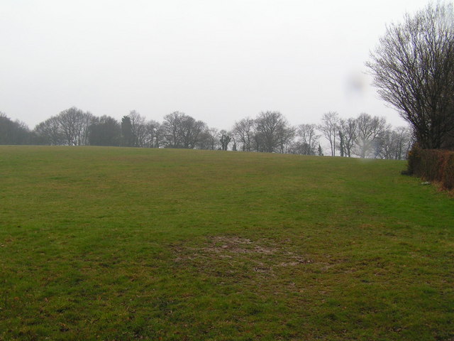
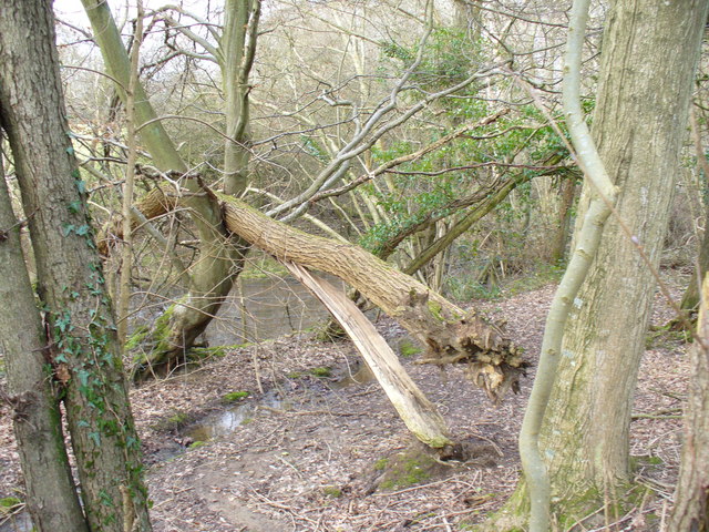
The woodland is mainly composed of broadleaf trees, including oak, beech, and ash. These towering trees create a dense canopy, providing shelter and habitat for a variety of wildlife species. Visitors can expect to encounter a range of bird species, such as woodpeckers, owls, and various songbirds. The forest floor is carpeted with vibrant wildflowers, ferns, and mosses, enhancing the natural beauty of the wood.

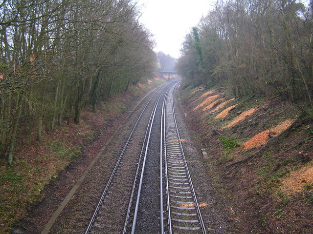
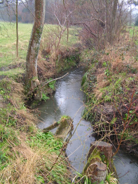
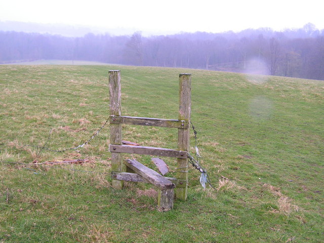
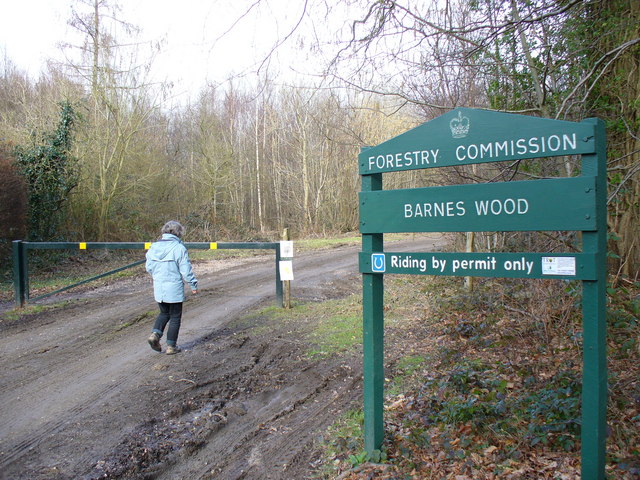
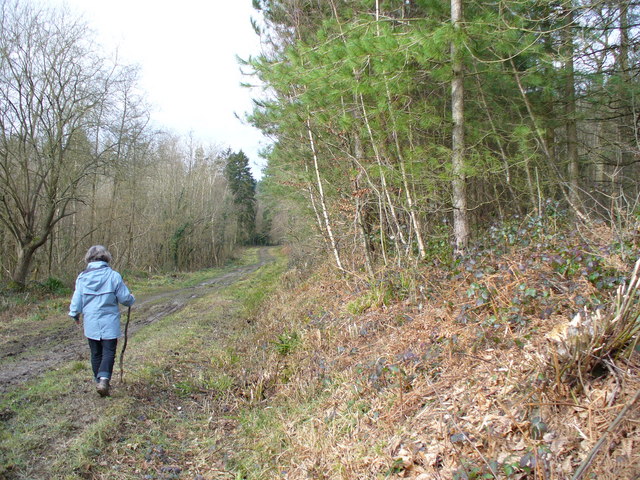
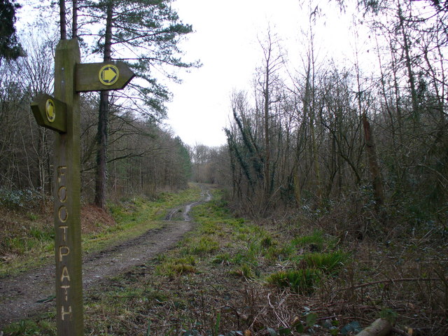
Battle Wood offers a network of well-maintained walking trails, allowing visitors to explore its tranquil surroundings. The paths wind through ancient woodland, passing by serene ponds and small streams. Nature enthusiasts can enjoy birdwatching, photography, or simply relishing the peaceful atmosphere of the forest.

Apart from its natural beauty, Battle Wood holds historical significance. It is believed to have been part of the battlefield during the Battle of Hastings, where King Harold II of England was defeated by William the Conqueror. The wood serves as a reminder of this historic event and attracts history enthusiasts from around the world.

Overall, Battle Wood is a captivating destination that offers a harmonious blend of natural splendor and historical significance. Its lush forests, diverse wildlife, and intriguing past make it an ideal place for both nature lovers and history buffs to explore and appreciate.

If you have any feedback on the listing, please let us know in the comments section below.
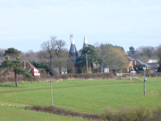
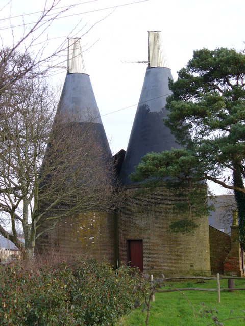
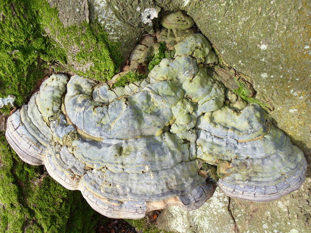
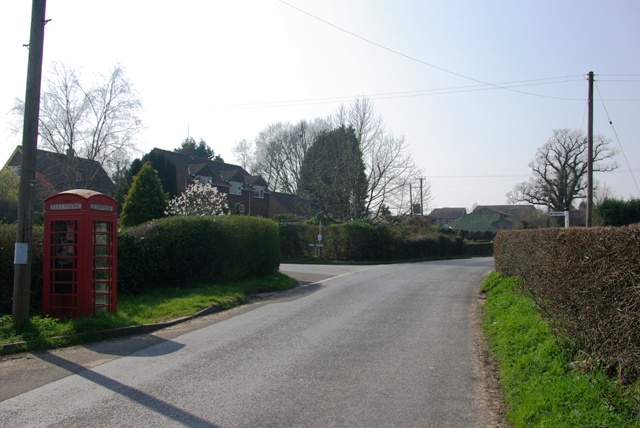
Battle Wood Images

Images are sourced within 2km of 50.949173/0.48226383 or Grid Reference TQ7419. Thanks to Geograph Open Source API. All images are credited.

Level Crossing at Mountfield East Sussex Small level crossing on narrow road from Netherfield to Mountfield East Sussex on the Hastings to Charing Cross line.
Level Crossing at Mountfield East Sussex
Small level crossing on narrow road from Netherfield to Mountfield East Sussex on the Hastings to Charing Cross line.
Narrow Road Eatenden Lane a very narrow road between Netherfield and Mountfield East Sussex with Crowhurst Wood on the left and Upper Hucksteep Wood on the right.
Narrow Road
Eatenden Lane a very narrow road between Netherfield and Mountfield East Sussex with Crowhurst Wood on the left and Upper Hucksteep Wood on the right.
Mountfield Church Nr Battle East Sussex The structure of Mountfield Church was destroyed in the aftermath of the Battle of Hastings in 1066. Rebuilt between 1180 and 1200. A modest little church surrounded by beautiful countryside on all sides.
Mountfield Church Nr Battle East Sussex
The structure of Mountfield Church was destroyed in the aftermath of the Battle of Hastings in 1066. Rebuilt between 1180 and 1200. A modest little church surrounded by beautiful countryside on all sides.
The Royal Oak, Whatlington This public house was built in 1490. The apple tree in the garden is wassailed every year. The A21 runs by its side.
The Royal Oak, Whatlington
This public house was built in 1490. The apple tree in the garden is wassailed every year. The A21 runs by its side.
The Royal Oak, Whatlington In the bar is a very deep well & a very large inglenook
The Royal Oak, Whatlington
In the bar is a very deep well & a very large inglenook
The River Line A few miles downstream from here this river joins the R. Brede
The River Line
A few miles downstream from here this river joins the R. Brede
Tonbridge to Hastings railway line This is the main London to Hastings line via Tonbridge
Tonbridge to Hastings railway line
This is the main London to Hastings line via Tonbridge
A small wealden stream A small tributary of the R. Line
A small wealden stream
A small tributary of the R. Line
A field near Lower Gate Farm Typical wealden scene
A field near Lower Gate Farm
Typical wealden scene
A defunct stile The footpath running through this area is difficult to follow and this stile sums it up!
A defunct stile
The footpath running through this area is difficult to follow and this stile sums it up!
Barnes Wood A forest track leading into the wood where it was a busy day for foresters. A few sections of track were rendered nearly impassable by the deep ruts in the mud.
Barnes Wood
A forest track leading into the wood where it was a busy day for foresters. A few sections of track were rendered nearly impassable by the deep ruts in the mud.
Forest Track in Barnes Wood This wood has a number of tracks criss-crossing its small area. The tracks are clay surface and so are very prone to being very muddy after wet weather, and prone to having deep ruts caused by forestry vehicles.
Forest Track in Barnes Wood
This wood has a number of tracks criss-crossing its small area. The tracks are clay surface and so are very prone to being very muddy after wet weather, and prone to having deep ruts caused by forestry vehicles.
Path Junction, Barnes Wood Forestry land is crossed by clay-surfaced paths and tracks.
Path Junction, Barnes Wood
Forestry land is crossed by clay-surfaced paths and tracks.
Woodland near Vinehall Street A stream is lined by deciduous trees, like beech. Note the recently fallen tree here. The soil is mainly water-retaining clay.
Woodland near Vinehall Street
A stream is lined by deciduous trees, like beech. Note the recently fallen tree here. The soil is mainly water-retaining clay.
Wealden Landscape, Vinehall Street Grassy fields, woods and oast houses are typical of this area of the Weald. Across the view runs the A21 London - Hastings road.
Wealden Landscape, Vinehall Street
Grassy fields, woods and oast houses are typical of this area of the Weald. Across the view runs the A21 London - Hastings road.
Oasts, Vinehall Street Industrial relics from the East Sussex hop industry which have not yet been converted into a desirable country residence.
Oasts, Vinehall Street
Industrial relics from the East Sussex hop industry which have not yet been converted into a desirable country residence.
Fungus on a Beech Tree This one is about one foot wide, two or three inches thick, and solidly fixed to the tree trunk.
Fungus on a Beech Tree
This one is about one foot wide, two or three inches thick, and solidly fixed to the tree trunk.
Mountfield, red phonebox At the junction of Church Road and Hoath Hill (currently unofficially renamed Oat Hill).
Mountfield, red phonebox
At the junction of Church Road and Hoath Hill (currently unofficially renamed Oat Hill).
Show me another place!

Battle Wood is located at Grid Ref: TQ7419 (Lat: 50.949173, Lng: 0.48226383)

Administrative County: East Sussex

District: Rother

Police Authority: Sussex

What 3 Words

///wove.downs.cobras. Near Battle, East Sussex

Related Wikis

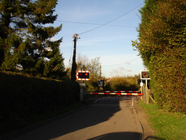
Mountfield Halt railway station

Mountfield Halt (TQ 746 197 50°57′01″N 0°29′12″E) was situated on the Hastings Line between Robertsbridge and Battle. It opened in 1923 and was closed...

Vinehall School

Vinehall School is a co-educational day, boarding school and nursery located at Vinehall Street, near the town of Robertsbridge, East Sussex. It takes...

Mountfield, East Sussex

Mountfield is a village and civil parish in the Rother district of East Sussex, England, and three miles (5 km) north-west of Battle. It is mentioned in...

Vinehall Street

Vinehall Street (or Vinehall), is a linear settlement in the civil parishes of Mountfield and Whatlington, and the Rother district of East Sussex, England...

Whatlington

Whatlington is a village and civil parish in the Rother district of East Sussex, England. The village is seven miles (11 km) north of Hastings, just off...

Durhamford Manor

Durhamford Manor is a Grade II* listed country house in the parish of Sedlescombe, East Sussex, England. The timber-framed, close-studded house dates to...
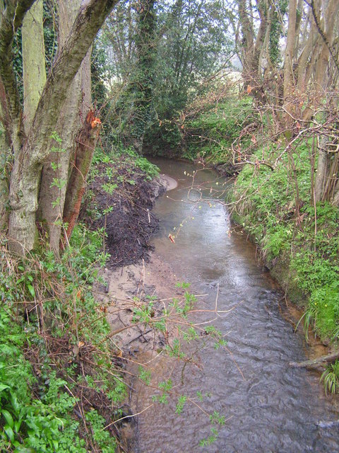
River Line SSSI

River Line SSSI is a 2.2-hectare (5.4-acre) geological Site of Special Scientific Interest south of Robertsbridge in East Sussex. It is a Geological Conservation...
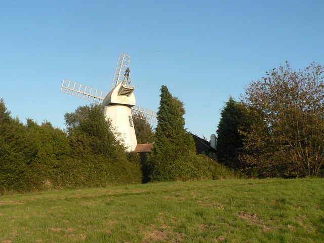
King's Head Mill

King's Mead Mill (also Battle Windmill or Caldbec Hill Mill) is a grade II listed smock mill at Battle, Sussex, England, which has been converted to residential...

Nearby Amenities

Located within 500m of 50.949173,0.48226383
Battle Road
Crossing Barrier: double_half
Crossing Bell: yes
Crossing Light: yes
Railway: level_crossing
Lat/Long: 50.9506315/0.4834136
Riverhall
Crossing Barrier: full
Crossing Bell: yes
Crossing Light: yes
Railway: level_crossing
Lat/Long: 50.9511385/0.4789611
Barrier: height_restrictor
Lat/Long: 50.9483618/0.4840119
Barrier: height_restrictor
Lat/Long: 50.9483533/0.4836172
Mountfield
Historic Railway: station
Railway: site
Lat/Long: 50.9503621/0.4842444
Battle Road
Crossing Barrier: double_half
Crossing Bell: yes
Crossing Light: yes
Railway: level_crossing
Lat/Long: 50.9505972/0.4834093
Riverhall
Crossing Barrier: full
Crossing Bell: yes
Crossing Light: yes
Railway: level_crossing
Lat/Long: 50.9510978/0.4789288
Stop
Direction: backward
Stop: minor
Lat/Long: 50.9504893/0.4783802
Barrier: stile
Stile: stepover
Lat/Long: 50.9524337/0.4797683
Spring Wood
Natural: wood
Lat/Long: 50.9455868/0.4849231
Great Crabden Wood
Natural: wood
Lat/Long: 50.9474854/0.481533
Power: pole
Lat/Long: 50.9453661/0.4814722
Stop
Direction: backward
Stop: minor
Lat/Long: 50.9505408/0.4785793
The data included in this document is from www.openstreetmap.org. The data is made available under ODbL.

Have you been to Battle Wood?

Leave your review of Battle Wood below (or comments, questions and feedback).