Belmont Ring

Wood, Forest in Norfolk King's Lynn and West Norfolk

England

Belmont Ring

Wildflower field borders near Flitcham On Chalk Hill near Flitcham in Norfolk many of the field borders, and in some places complete fields, are covered in wild flowers and are managed wildlife areas.
Wildflower field borders near Flitcham Credit: Richard Humphrey

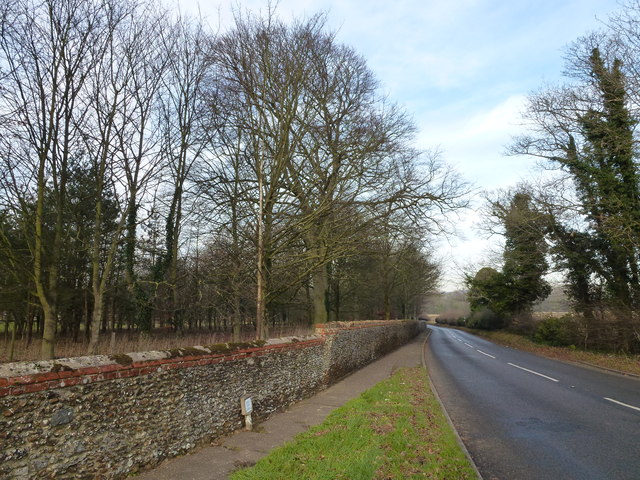
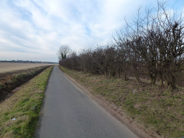
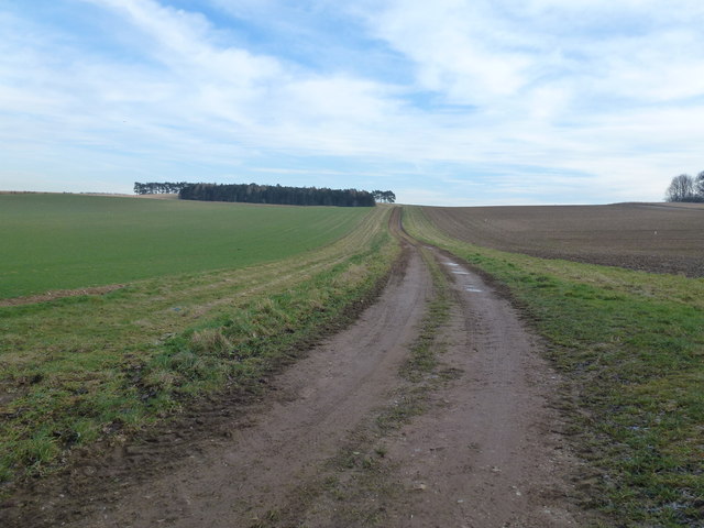
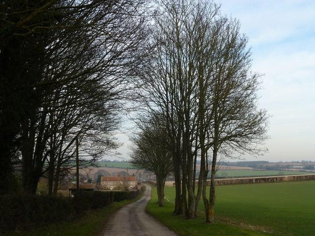
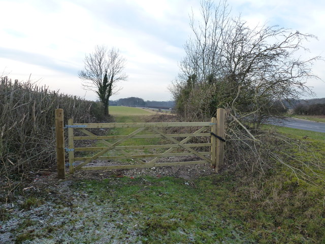
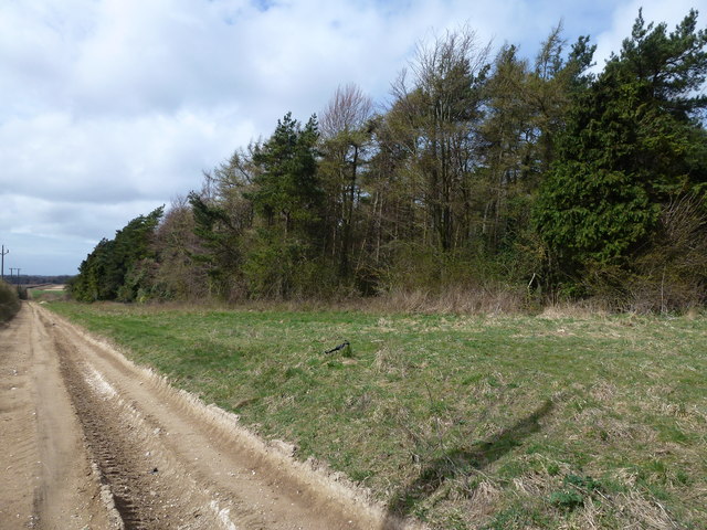
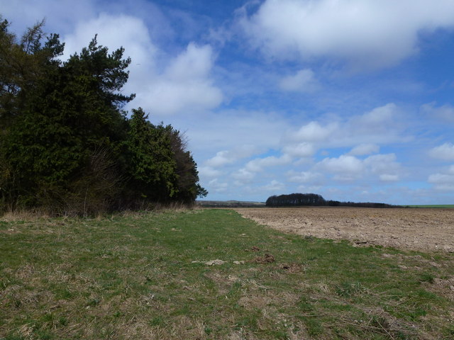
Belmont Ring, located in Norfolk, England, is a captivating woodland area known for its natural beauty and tranquil atmosphere. Nestled amidst the expansive Norfolk countryside, this forested haven offers visitors an opportunity to immerse themselves in the mesmerizing sights and sounds of nature.

Covering an area of approximately 100 hectares, Belmont Ring is home to a diverse range of trees, including oak, beech, and pine, which create a stunning canopy overhead. The forest floor is adorned with a carpet of vibrant wildflowers, adding splashes of color to the landscape throughout the year.

Visitors can explore the numerous winding trails that meander through the woodland, offering picturesque views and a chance to encounter the local wildlife. Deer, foxes, and a variety of bird species can often be spotted in their natural habitats, making Belmont Ring a popular destination for nature enthusiasts and wildlife photographers.

The forest also provides a serene setting for recreational activities such as walking, jogging, and cycling. There are designated picnic areas and benches strategically placed throughout the woodland, encouraging visitors to take a moment to relax and appreciate the peaceful surroundings.

Belmont Ring is managed by the local authorities, who ensure the preservation of its natural ecosystem. The forest plays a crucial role in maintaining the ecological balance of the area, providing a habitat for numerous plant and animal species.

With its idyllic scenery and abundant wildlife, Belmont Ring offers a captivating escape from the hustle and bustle of everyday life, inviting visitors to reconnect with nature and experience the serenity of the Norfolk countryside.

If you have any feedback on the listing, please let us know in the comments section below.
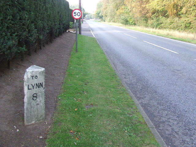
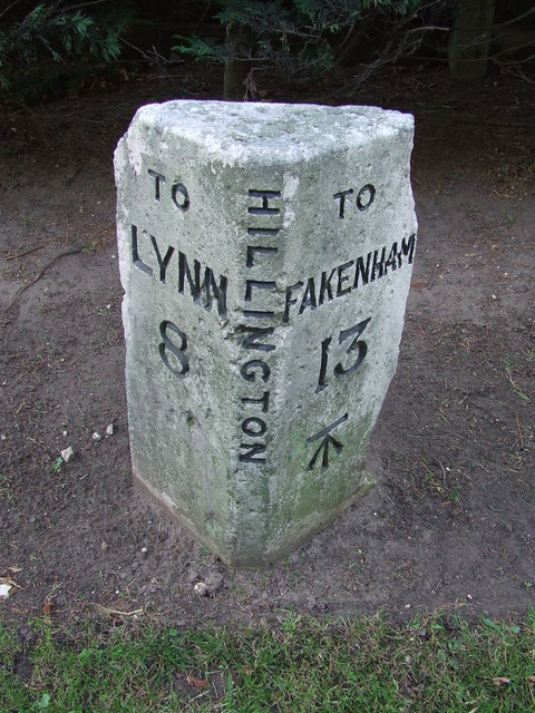
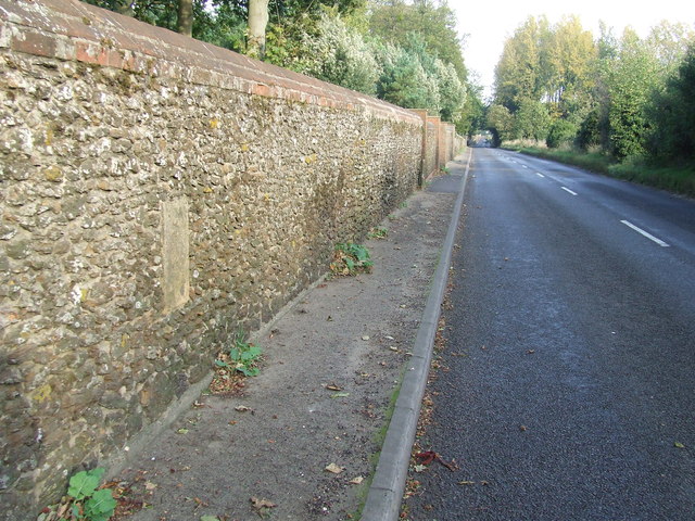
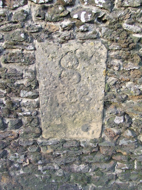
Belmont Ring Images

Images are sourced within 2km of 52.796589/0.5846888 or Grid Reference TF7425. Thanks to Geograph Open Source API. All images are credited.

Wildflower field borders near Flitcham On Chalk Hill near Flitcham in Norfolk many of the field borders, and in some places complete fields, are covered in wild flowers and are managed wildlife areas.
Wildflower field borders near Flitcham
On Chalk Hill near Flitcham in Norfolk many of the field borders, and in some places complete fields, are covered in wild flowers and are managed wildlife areas.
Track on Chalk Hill near Flitcham
Farm on Abbey Road, Flitcham
Corrugated metal shed on Abbey Road, Flitcham Behind the shed is Further Front Wood and behind the camera is Further Back Wood
Corrugated metal shed on Abbey Road, Flitcham
Behind the shed is Further Front Wood and behind the camera is Further Back Wood
Milepost Old milestone on the A.148 at Hillington, Norfolk. For close up view see <a title="https://www.geograph.org.uk/photo/2667552" href="https://www.geograph.org.uk/photo/2667552">Link</a>
Milepost
Old milestone on the A.148 at Hillington, Norfolk. For close up view see Link
Old Milestone Old milestone on the A.148 at Hillington, Norfolk. For overall view see <a title="https://www.geograph.org.uk/photo/2667548" href="https://www.geograph.org.uk/photo/2667548">Link</a>
Old Milestone
Old milestone on the A.148 at Hillington, Norfolk. For overall view see Link
Old Milestone Old milestone in a wall on the B1153 at Hillington, Norfolk. For close up view see <a title="https://www.geograph.org.uk/photo/2667561" href="https://www.geograph.org.uk/photo/2667561">Link</a>
Old Milestone
Old milestone in a wall on the B1153 at Hillington, Norfolk. For close up view see Link
Docking 8 Miles Old milestone in a wall on the B1153 at Hillington, Norfolk. For close up view see <a title="https://www.geograph.org.uk/photo/2667558" href="https://www.geograph.org.uk/photo/2667558">Link</a>
Docking 8 Miles
Old milestone in a wall on the B1153 at Hillington, Norfolk. For close up view see Link
Near Hillington Hall, King's Lynn
Abbey Road - No Beatles crossing it! This country lane in Norfolk runs from The Patch to Flitcham
Abbey Road - No Beatles crossing it!
This country lane in Norfolk runs from The Patch to Flitcham
Track up Bunker's Hill A private track starting near Valley Farm east of Hillington
Track up Bunker's Hill
A private track starting near Valley Farm east of Hillington
Lane from Valley Farm east of Hillington, Norfolk
Trees near The Patch east of Hillington, Norfolk
Locked gate in Norfolk Near Field Farm on the A148 east of Hillington
Locked gate in Norfolk
Near Field Farm on the A148 east of Hillington
Large straw stack east of Congham In the autumn, British carrot farmers start putting their crop “to bed” for the winter months by covering them with a thick layer of straw to protect them from the frost. This eco-friendly method of storage, takes place across large swathes of land in Nottinghamshire, Yorkshire, Lincolnshire, Norfolk, Suffolk and Scotland. The earth becomes nature’s larder, keeping the crop fresh and ready for harvest throughout the winter, allowing farmers to provide the UK with an 11-month supply of carrots. Before farmers adopted this practice in the 1990s, carrots were predominantly a summer vegetable.   <a title="https://www.geograph.org.uk/photo/3419185" href="https://www.geograph.org.uk/photo/3419185">Link</a>
Large straw stack east of Congham
In the autumn, British carrot farmers start putting their crop “to bed” for the winter months by covering them with a thick layer of straw to protect them from the frost. This eco-friendly method of storage, takes place across large swathes of land in Nottinghamshire, Yorkshire, Lincolnshire, Norfolk, Suffolk and Scotland. The earth becomes nature’s larder, keeping the crop fresh and ready for harvest throughout the winter, allowing farmers to provide the UK with an 11-month supply of carrots. Before farmers adopted this practice in the 1990s, carrots were predominantly a summer vegetable. Link
Private farm road north of Congham Heath
Rutted bridleway and plantation north of Congham Heath
Plantation and farmland near Congham
Show me another place!

Belmont Ring is located at Grid Ref: TF7425 (Lat: 52.796589, Lng: 0.5846888)

Administrative County: Norfolk

District: King's Lynn and West Norfolk

Police Authority: Norfolk

What 3 Words

///newest.ulterior.dumplings. Near Grimston, Norfolk

Nearby Locations

Belmont Ring

Related Wikis

Hillington railway station

Hillington railway station was a station in Hillington, Norfolk on the now closed Midland and Great Northern Joint Railway line between South Lynn and...

Flitcham, Norfolk

Flitcham is a village and civil parish in the English county of Norfolk. The village is located 7.1 miles (11.4 km) north-east of King's Lynn and 33 miles...

Hillington, Norfolk

Hillington is a village and civil parish in the English county of Norfolk. It covers an area of 10.27 km2 (3.97 sq mi) and had a population of 287 in 123...

Flitcham with Appleton

Flitcham with Appleton is a civil parish in the English county of Norfolk. It covers an area of 17.08 km2 (6.59 sq mi) and had a population of 236 in 96...

Congham

Congham is a village and civil parish in the English county of Norfolk. It is situated some 6 miles (10 km) east of the town of King's Lynn and 34 miles...

Grimston, Norfolk

Grimston is a village and civil parish in the English county of Norfolk, approximately 6 miles north-east of King's Lynn. It covers an area of 18.08 km2...

River Cong (Norfolk)

The River Cong is a stream in the west of the county of Norfolk, only 1.5 miles (2.4 km) in length. It is a tributary of the River Babingley. The spring...

Anmer

Anmer is a small village and civil parish in the English county of Norfolk. It is around 12 miles (19 km) north-east of the town of King's Lynn and 35...

Have you been to Belmont Ring?

Leave your review of Belmont Ring below (or comments, questions and feedback).