Beech Clump
Wood, Forest in Suffolk West Suffolk
England
Beech Clump

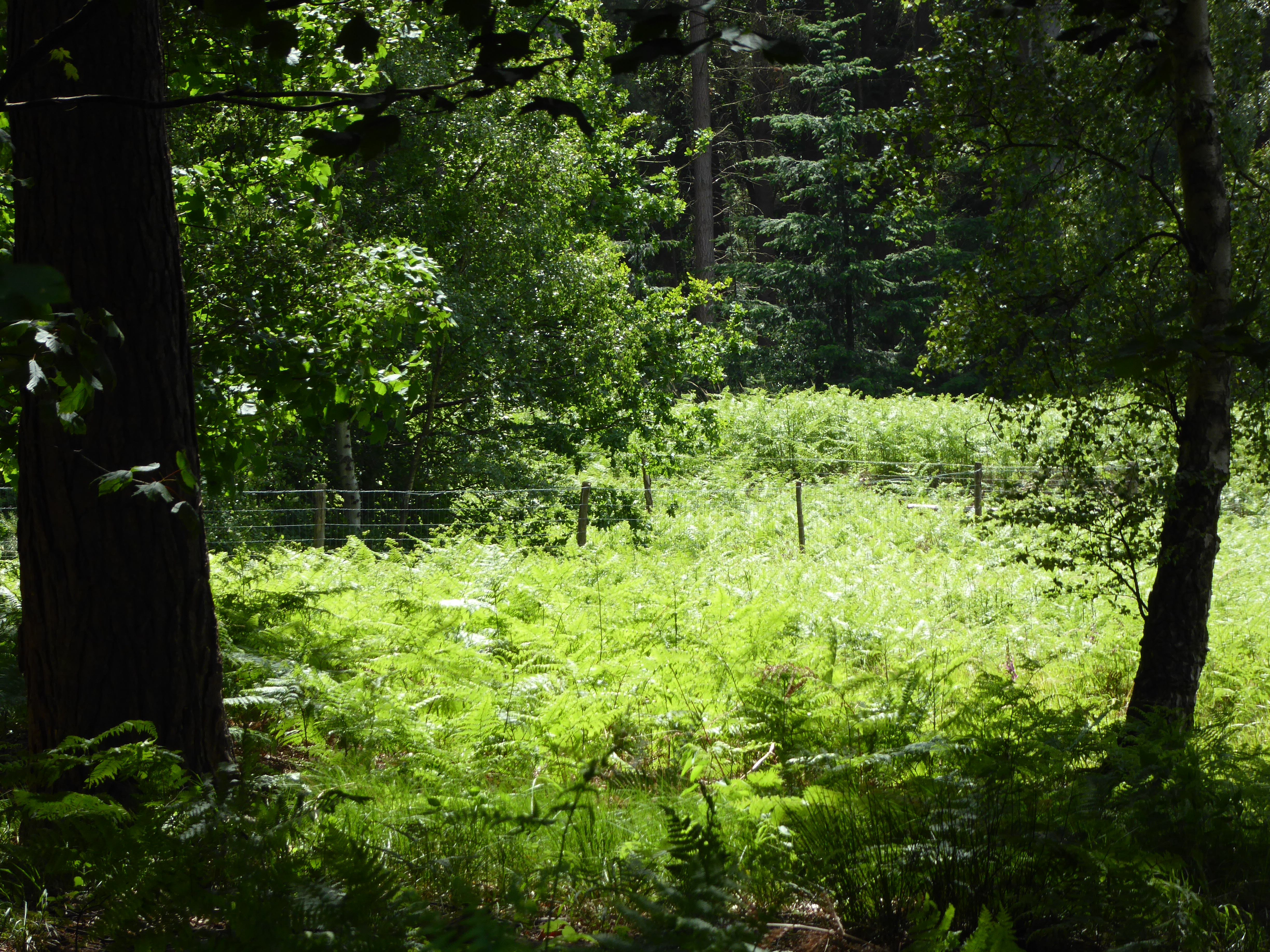
Beech Clump is a picturesque wood located in Suffolk, England. Situated near the village of Suffolk, it covers an area of approximately 50 acres and is primarily composed of beech trees, hence the name. The wood is known for its dense canopy, which provides ample shade and creates a cool and tranquil atmosphere.
The beech trees in Beech Clump are mature and tall, with their branches intertwining to form a dense canopy that filters sunlight, creating a dappled effect on the forest floor. The wood is particularly beautiful during the autumn months when the leaves change color, displaying vibrant shades of orange, red, and gold.
The woodland floor is covered with a thick layer of leaf litter, providing a habitat for a variety of small mammals, insects, and fungi. The damp conditions created by the leaf litter also support a diverse range of plant species, including bluebells, wood anemones, and wild garlic.
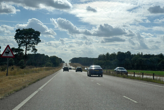
Beech Clump is a popular destination for nature lovers and hikers alike. There are several well-maintained trails that wind through the wood, offering visitors the opportunity to explore its natural beauty. The peaceful atmosphere and the abundance of wildlife make it an ideal place for birdwatching and nature photography.
The wood is managed by the Suffolk Wildlife Trust, ensuring the preservation of its natural habitat and biodiversity. Visitors are encouraged to respect the environment and follow the designated paths to minimize their impact on the delicate ecosystem. Overall, Beech Clump is a serene and enchanting destination that offers a glimpse into the beauty of Suffolk's natural landscape.
If you have any feedback on the listing, please let us know in the comments section below.
Beech Clump Images
Images are sourced within 2km of 52.345871/0.55501979 or Grid Reference TL7475. Thanks to Geograph Open Source API. All images are credited.


Beech Clump is located at Grid Ref: TL7475 (Lat: 52.345871, Lng: 0.55501979)
Administrative County: Suffolk
District: West Suffolk
Police Authority: Suffolk
What 3 Words
///spice.chase.fabricate. Near Mildenhall, Suffolk
Nearby Locations
Related Wikis
Rex Graham nature reserve
Rex Graham Reserve is a 2.8-hectare (6.9-acre) biological Site of Special Scientific Interest east of Mildenhall in Suffolk. It is a Special Area of Conservation...

How Hill Track
How Hill Track is a 3.1-hectare (7.7-acre) biological Site of Special Scientific Interest east of Mildenhall in Suffolk. It is in the Breckland Special...

Cavenham–Icklingham Heaths
Cavenham–Icklingham Heaths is a 419 hectare biological Site of Special Scientific Interest west of Icklingham in Suffolk. It is a Nature Conservation Review...

Barton Mills Valley
Barton Mills Valley is a 10.7 hectare Local Nature Reserve in Mildenhall in Suffolk. It is owned and managed by West Suffolk Council. The site is in Breckland...

Forest Heath District
Forest Heath was a local government district in Suffolk, England. Its council was based in Mildenhall. Other towns in the district included Newmarket...
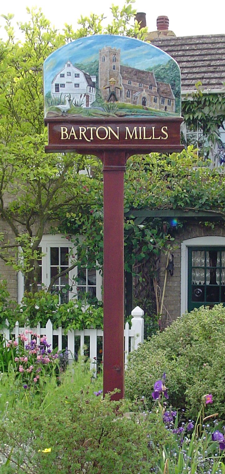
Barton Mills
Barton Mills is a village and civil parish in the West Suffolk district of Suffolk, England. The village is on the south bank of the River Lark. According...

Foxhole Heath
Foxhole Heath is an 85.2-hectare (211-acre) biological Site of Special Scientific Interest east of Eriswell in Suffolk. It is a Nature Conservation Review...

Mildenhall Town F.C.
Mildenhall Town Football Club is a football club based in Mildenhall, Suffolk. They are currently members of the Eastern Counties League Premier Division...
Nearby Amenities
Located within 500m of 52.345871,0.55501979Have you been to Beech Clump?
Leave your review of Beech Clump below (or comments, questions and feedback).