Doctor's Plantation
Wood, Forest in Norfolk King's Lynn and West Norfolk
England
Doctor's Plantation

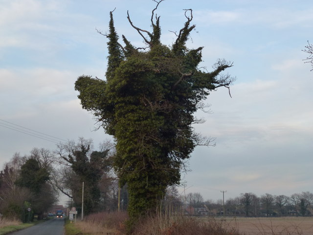
Doctor's Plantation, located in Norfolk, is a sprawling woodland area filled with an abundance of diverse plant life. Covering a vast expanse, it is a popular destination for nature enthusiasts and hikers alike. The plantation is nestled in a serene setting, offering visitors a tranquil escape from the hustle and bustle of city life.
The plantation boasts a lush and verdant forest, with towering trees providing ample shade and shelter for a variety of wildlife. The predominant tree species found here include oak, beech, and ash, which contribute to the plantation's rich biodiversity. The forest floor is covered in a thick layer of moss, ferns, and various wildflowers, adding to its natural beauty.
Visitors to Doctor's Plantation can explore a network of well-maintained trails that wind through the woodland, offering stunning views and opportunities for birdwatching. The plantation is home to numerous bird species, including woodpeckers, robins, and thrushes, making it a haven for bird lovers.
The plantation also serves as an important habitat for several mammal species, such as deer, foxes, and rabbits. These animals can often be spotted roaming through the trees or grazing in the open meadows scattered throughout the woodland.
Doctor's Plantation is not only a haven for wildlife but also a valuable resource for research and education. Its unique ecosystem provides an ideal environment for studying the interconnections between flora and fauna. Conservation efforts are in place to protect and preserve this natural treasure for future generations to enjoy.
Overall, Doctor's Plantation in Norfolk is a magnificent woodland that offers a wide range of recreational activities, educational opportunities, and a chance to immerse oneself in the beauty of nature.
If you have any feedback on the listing, please let us know in the comments section below.
Doctor's Plantation Images
Images are sourced within 2km of 52.739629/0.57750846 or Grid Reference TF7418. Thanks to Geograph Open Source API. All images are credited.


Doctor's Plantation is located at Grid Ref: TF7418 (Lat: 52.739629, Lng: 0.57750846)
Administrative County: Norfolk
District: King's Lynn and West Norfolk
Police Authority: Norfolk
What 3 Words
///works.view.organisms. Near Grimston, Norfolk
Nearby Locations
Related Wikis

Gayton Thorpe Roman Villa
Gayton Thorpe Roman Villa is the site of a Roman villa, near Gayton Thorpe and about 5 miles (8 km) east of King's Lynn, in Norfolk, England. It was discovered...
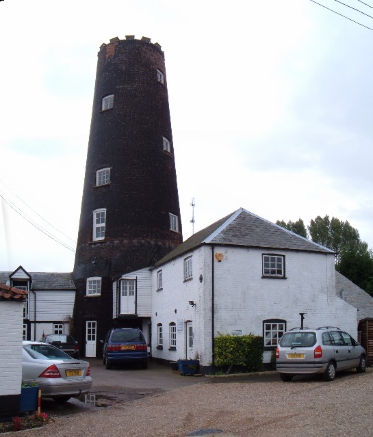
Gayton Windmill, Norfolk
For the Gayton Windmill now in Merseyside see Gayton Windmill, Cheshire Gayton Mill is a Grade II listed tower mill at Gayton, Norfolk, England which...
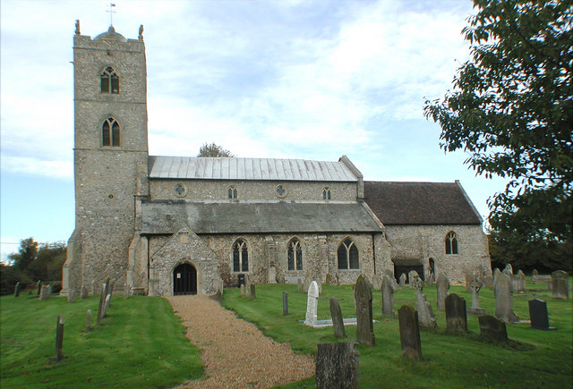
St Nicholas Church, Gayton
St Nicholas Church is a Church of England church located in Gayton, Norfolk. == Overview == The construction of the church building was completed in 1604...
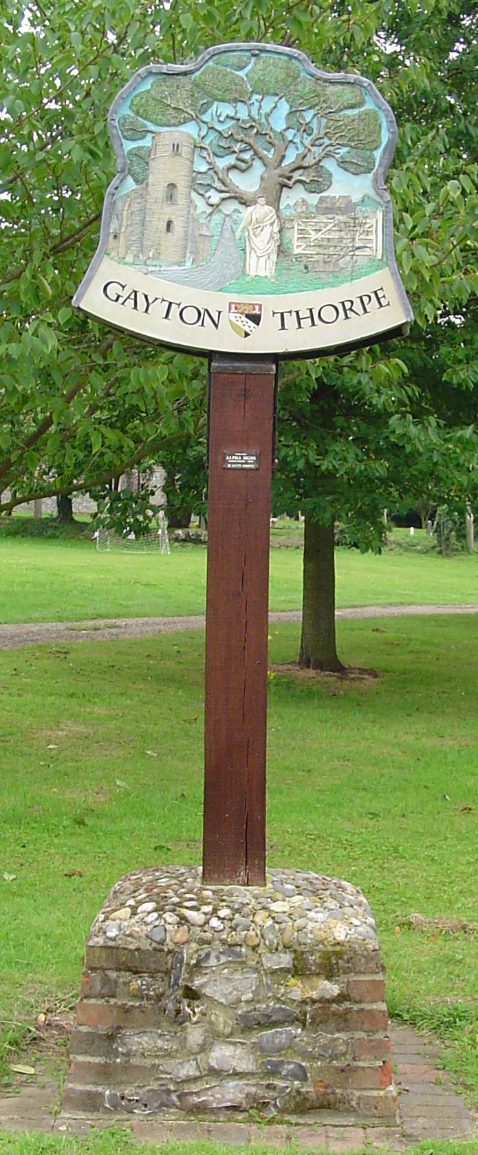
Gayton Thorpe
Gayton Thorpe is a village and former civil parish, now in the parish of Gayton, in the King's Lynn and West Norfolk district, in the county of Norfolk...

Gayton, Norfolk
Gayton is a village and civil parish in the English county of Norfolk. The village is located 6 miles (9.7 km) east of King's Lynn and 32 miles (51 km...

East Walton and Adcock's Common
East Walton and Adcock's Common is a 62.4-hectare (154-acre) biological and geological Site of Special Scientific Interest south-east of King's Lynn in...

East Walton
East Walton is a village in the English county of Norfolk. The village is located 7.8 miles (12.6 km) south-east of King's Lynn and 31 miles (50 km) north...
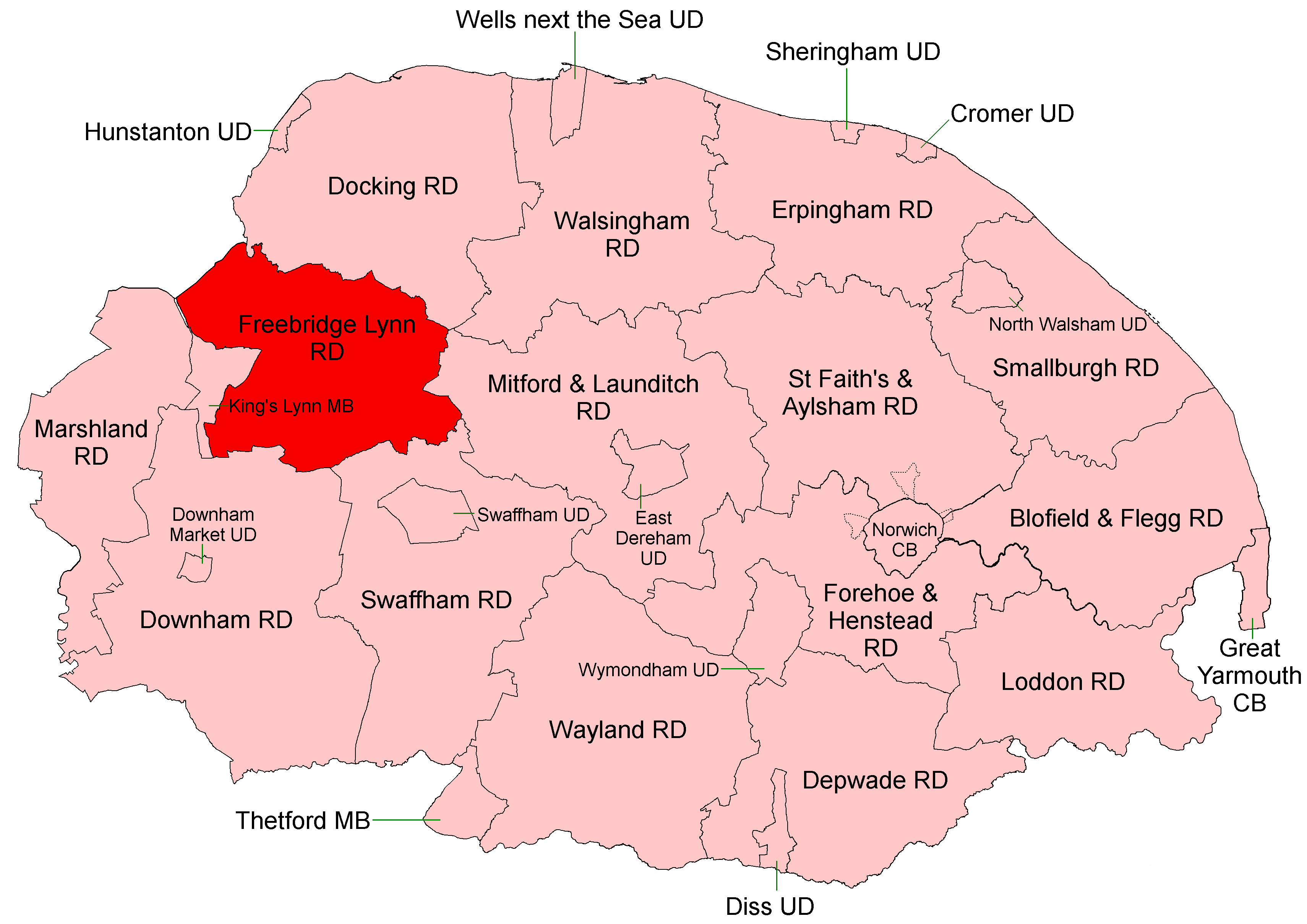
Freebridge Lynn Rural District
Freebridge Lynn Rural District was a rural district in Norfolk, England from 1894 to 1974.It was formed under the Local Government Act 1894 based on the...
Nearby Amenities
Located within 500m of 52.739629,0.57750846Have you been to Doctor's Plantation?
Leave your review of Doctor's Plantation below (or comments, questions and feedback).