Alderfield Plantation
Wood, Forest in Suffolk West Suffolk
England
Alderfield Plantation
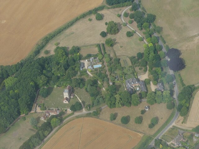
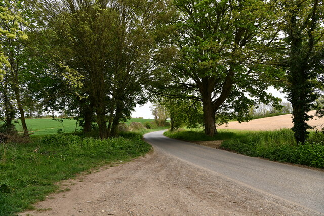
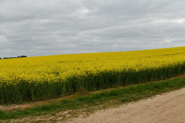
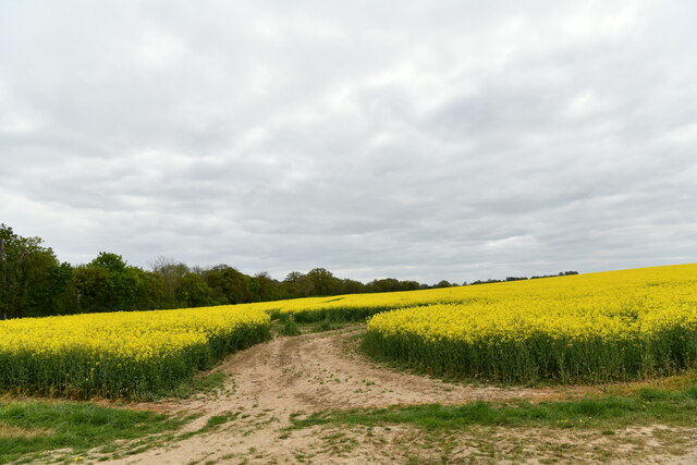
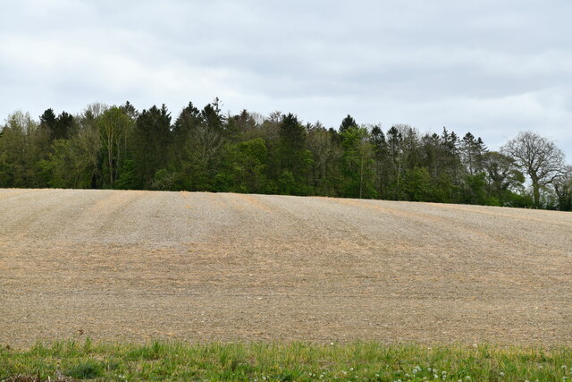
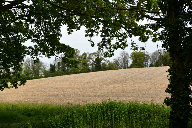
Alderfield Plantation is a vast woodland located in Suffolk, England. With its serene atmosphere and breathtaking natural beauty, the plantation has become a popular destination for nature enthusiasts and outdoor adventurers. Spanning over hundreds of acres, the plantation is primarily composed of alder trees, hence its name.
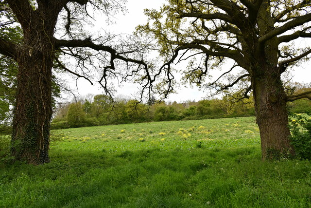
The diverse ecosystem of Alderfield Plantation offers a haven for a wide range of flora and fauna. The dense forest is interspersed with clearings, allowing sunlight to filter through and nurture a variety of plants. Wildflowers such as bluebells and primroses carpet the forest floor during the spring season, painting a vibrant tapestry of colors.
The plantation is also home to a rich array of wildlife. Visitors may catch glimpses of red squirrels darting through the branches, while birdwatchers can spot a multitude of avian species such as woodpeckers, owls, and jays. The tranquil atmosphere of the woodland provides a perfect habitat for these creatures to thrive.
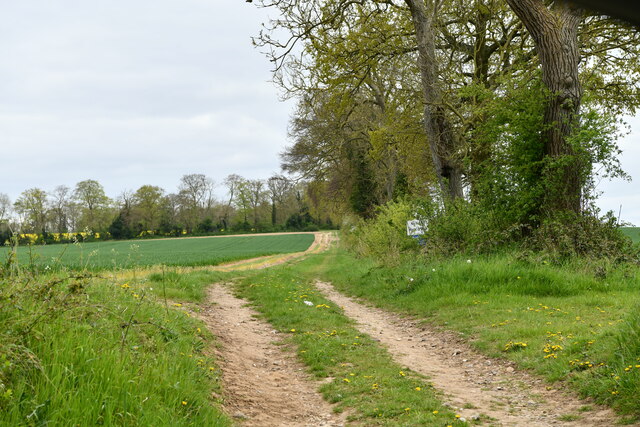
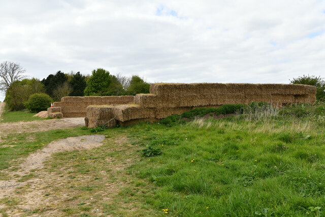
Alderfield Plantation boasts numerous walking trails, enabling visitors to explore the natural wonders of the area. These paths wind through ancient woodlands, across babbling brooks, and up gentle hills, offering breathtaking views of the surrounding countryside. The plantation is also intersected by a small river, providing opportunities for fishing and boating.
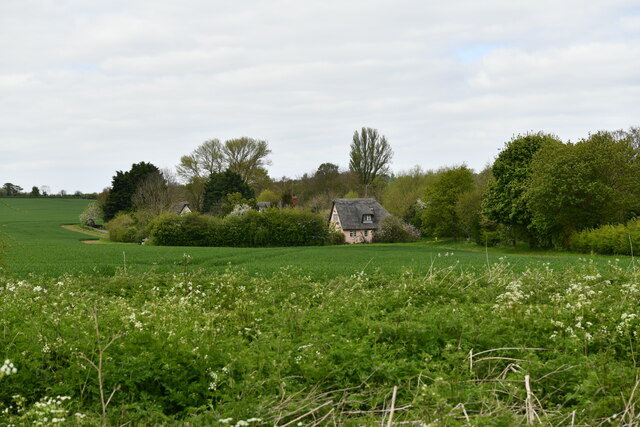
In addition to its natural splendor, Alderfield Plantation has a rich historical significance. The land has been owned by the same family for generations and has witnessed the ebb and flow of time. Ruins of an old manor house can still be seen, serving as a testament to the plantation's storied past.
Overall, Alderfield Plantation in Suffolk is a true haven for nature lovers, offering a unique blend of tranquility, natural beauty, and historical charm.
If you have any feedback on the listing, please let us know in the comments section below.
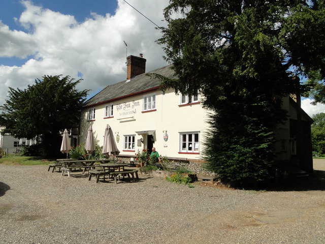
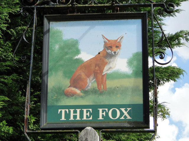
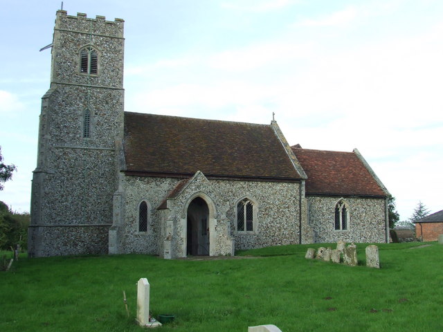
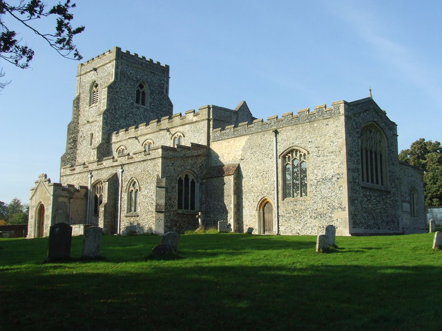
Alderfield Plantation Images
Images are sourced within 2km of 52.214305/0.54571821 or Grid Reference TL7460. Thanks to Geograph Open Source API. All images are credited.
Alderfield Plantation is located at Grid Ref: TL7460 (Lat: 52.214305, Lng: 0.54571821)
Administrative County: Suffolk
District: West Suffolk
Police Authority: Suffolk
What 3 Words
///putts.answers.delighted. Near Newmarket, Suffolk
Nearby Locations
Related Wikis

Ousden
Ousden is a village and civil parish in the West Suffolk district of Suffolk in eastern England. It is located around six miles west of Bury St Edmunds...
Denham, West Suffolk
Denham is a village and civil parish in the West Suffolk district of Suffolk in eastern England. Located around five miles west of Bury St Edmunds, in...
Dalham
Dalham is a village and civil parish in the West Suffolk district of Suffolk, England. The name, meaning 'homestead/village in a valley' is of Old English...
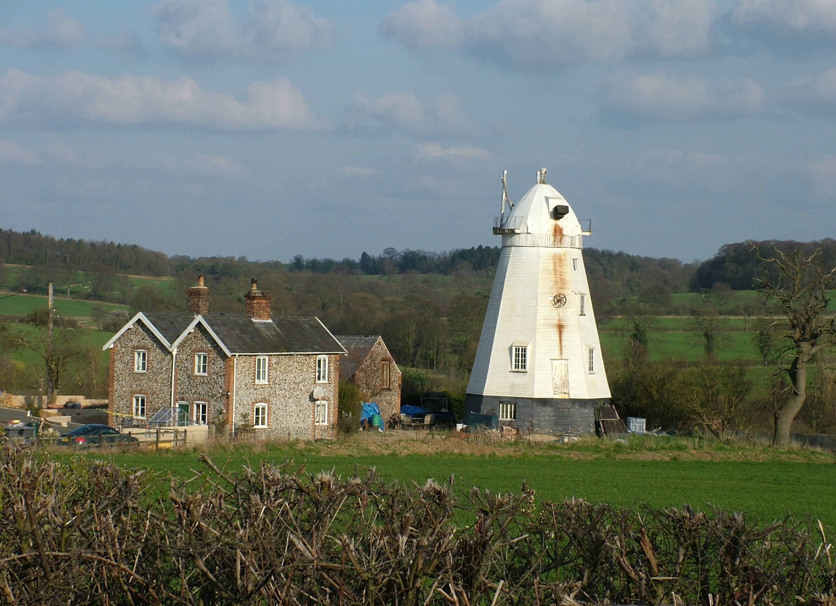
Lower Mill, Dalham
Lower Mill or Opposition Mill is a Grade II* listed smock mill at Dalham, Suffolk, England which has been preserved. == History == Lower Mill or Opposition...

Denham Castle
Denham Castle, also known as Castle Holes, is a medieval motte and bailey castle near the village of Gazeley, Suffolk, England. The castle was also known...

Dalham Hall
Dalham Hall is a country house and 3,300-acre (13 km2) estate, located in the village of Dalham, Suffolk, near Newmarket, and 13 kilometres (8 mi) west...

Desning Hall
Desning Hall was a manor house in Risbridge Hundred, in Suffolk, England, dating from Anglo-Saxon times. Desning Hall's last resident was Sidney Arthur...

Lidgate Castle
Lidgate Castle is a medieval motte and bailey castle in the village of Lidgate, Suffolk, England, built to an unusual quadrangular design. == Details... ==
Related Videos
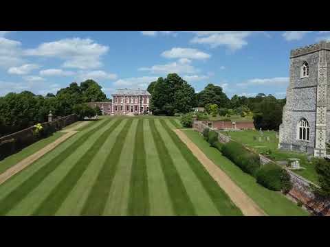
Dalham, Suffolk | Drone Footage
Dalham, Suffolk | Drone Footage. The English countryside on full display with this aerial shot of a magnificent house.
Have you been to Alderfield Plantation?
Leave your review of Alderfield Plantation below (or comments, questions and feedback).