Middle Wood

Wood, Forest in Essex Chelmsford

England

Middle Wood

View north of the railway Fields with Downham Church in the background, taken from the railway between Billericay and Wickford.
View north of the railway Credit: Trevor Harris

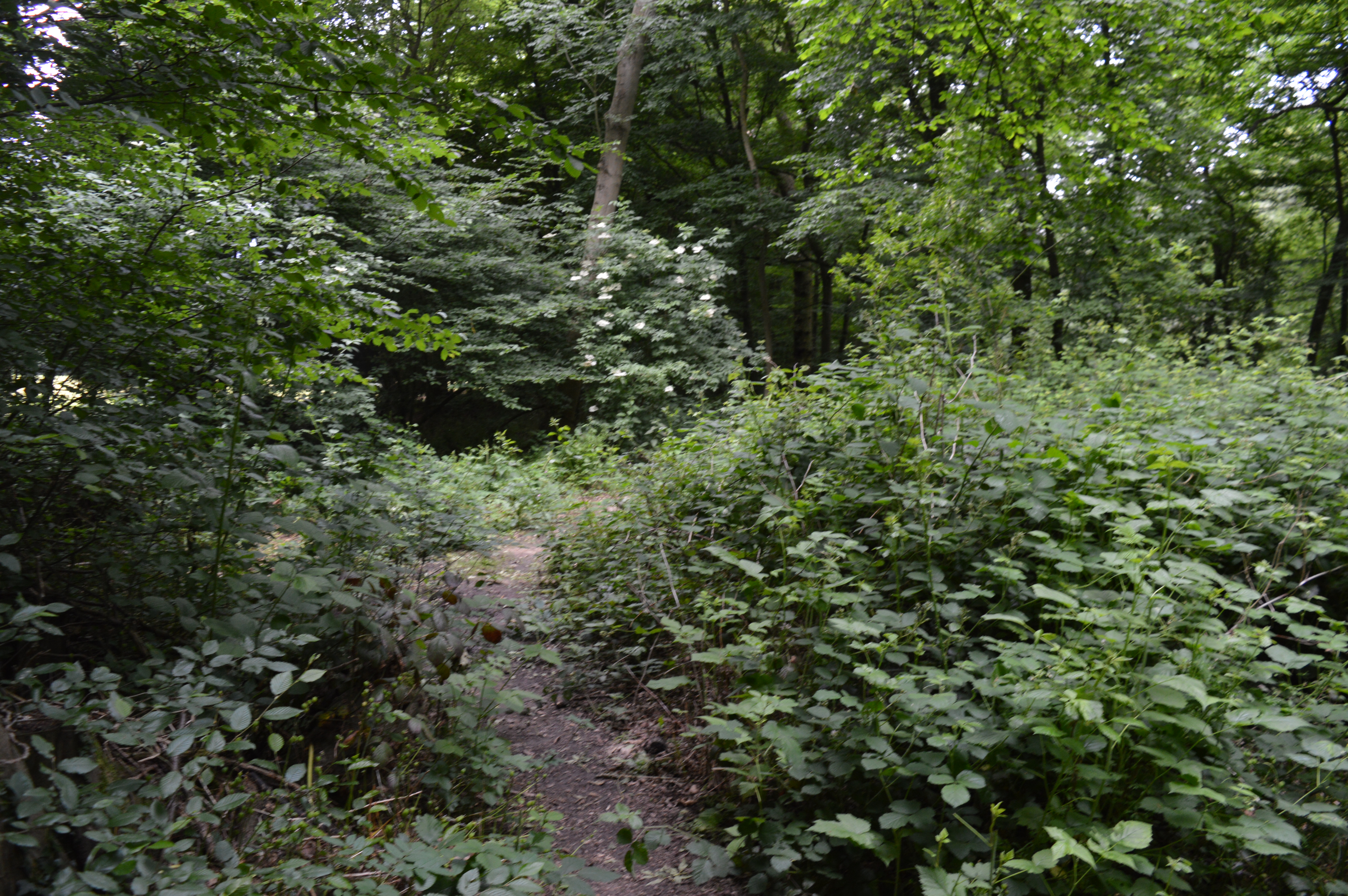
Middle Wood is a charming woodland located in Essex, England. Situated in the heart of the county, this woodland is a part of the vast ancient Epping Forest which covers a total area of approximately 2,400 hectares. Middle Wood is known for its tranquil surroundings, rich biodiversity, and historical significance.

Covering an area of around 100 acres, Middle Wood is predominantly made up of mature oak and beech trees, interspersed with patches of birch and hornbeam. The woodland floor is carpeted with a variety of wildflowers, including bluebells, primroses, and wood anemones, creating a picturesque setting in the springtime.

This woodland is a haven for wildlife, providing a habitat for numerous species. Bird enthusiasts can often spot woodpeckers, nuthatches, and various species of owls. Foxes, badgers, and squirrels are commonly seen scurrying through the undergrowth, while the tranquil ponds attract a host of amphibians and insects.

Middle Wood has a rich history, dating back centuries. It was once a part of the royal hunting forest, and remnants of this past can still be seen today in the form of ancient boundary markers and hunting lodges. The wood has also played a role in local folklore and is said to be haunted by the ghost of a lady from the Tudor era.

The woodland is open to the public and offers a range of walking trails, allowing visitors to explore its natural beauty and immerse themselves in its peaceful atmosphere. Middle Wood truly encapsulates the beauty and tranquility of Essex's woodlands, making it a must-visit destination for nature lovers and history enthusiasts alike.

If you have any feedback on the listing, please let us know in the comments section below.

Middle Wood Images

Images are sourced within 2km of 51.637716/0.51310082 or Grid Reference TQ7496. Thanks to Geograph Open Source API. All images are credited.

View north of the railway Fields with Downham Church in the background, taken from the railway between Billericay and Wickford.
View north of the railway
Fields with Downham Church in the background, taken from the railway between Billericay and Wickford.
Stubble field near Wickford
Sunlight through Willow Leaves, Hanningfield Reservoir Nature Discovery Park This reserve is managed by the Essex Wildlife Trust, their webpage states:
"The nature reserve offers some beautiful walks through the woodland, taking in bird hides, ponds and views across the reservoir. The site is run in partnership with Essex & Suffolk Water and you can walk through the reserve to the Essex & Suffolk Water Fishing Lodge and the Cafe on the Water. The reservoir itself is a Site of Special Scientific Interest (SSSI) due to the important numbers of wildfowl that use the reservoir in the autumn and winter, including Gadwall, Tufted Duck and Pochard.

The spectacle of thousands of Swifts, Swallows and Martins feeding over the water during peak fly hatches is one of the delights for the summer visitor. 30 acres of the woodland are ancient in origin and spring flowers include carpets of Bluebells and Stitchwort.

There are some really good nature trails on the reserve for all to enjoy. Advice is always on hand in the visitor centre, to help identify wildlife and to inform visitors of the best locations to see and experience wildlife"
Sunlight through Willow Leaves, Hanningfield Reservoir Nature Discovery Park
This reserve is managed by the Essex Wildlife Trust, their webpage states: "The nature reserve offers some beautiful walks through the woodland, taking in bird hides, ponds and views across the reservoir. The site is run in partnership with Essex & Suffolk Water and you can walk through the reserve to the Essex & Suffolk Water Fishing Lodge and the Cafe on the Water. The reservoir itself is a Site of Special Scientific Interest (SSSI) due to the important numbers of wildfowl that use the reservoir in the autumn and winter, including Gadwall, Tufted Duck and Pochard. The spectacle of thousands of Swifts, Swallows and Martins feeding over the water during peak fly hatches is one of the delights for the summer visitor. 30 acres of the woodland are ancient in origin and spring flowers include carpets of Bluebells and Stitchwort. There are some really good nature trails on the reserve for all to enjoy. Advice is always on hand in the visitor centre, to help identify wildlife and to inform visitors of the best locations to see and experience wildlife"
Path in woodland, Hanningfield Reservoir Nature Discovery Park This reserve is managed by the Essex Wildlife Trust, their webpage states:
"The nature reserve offers some beautiful walks through the woodland, taking in bird hides, ponds and views across the reservoir. The site is run in partnership with Essex & Suffolk Water and you can walk through the reserve to the Essex & Suffolk Water Fishing Lodge and the Cafe on the Water. The reservoir itself is a Site of Special Scientific Interest (SSSI) due to the important numbers of wildfowl that use the reservoir in the autumn and winter, including Gadwall, Tufted Duck and Pochard.

The spectacle of thousands of Swifts, Swallows and Martins feeding over the water during peak fly hatches is one of the delights for the summer visitor. 30 acres of the woodland are ancient in origin and spring flowers include carpets of Bluebells and Stitchwort.

There are some really good nature trails on the reserve for all to enjoy. Advice is always on hand in the visitor centre, to help identify wildlife and to inform visitors of the best locations to see and experience wildlife"
Path in woodland, Hanningfield Reservoir Nature Discovery Park
This reserve is managed by the Essex Wildlife Trust, their webpage states: "The nature reserve offers some beautiful walks through the woodland, taking in bird hides, ponds and views across the reservoir. The site is run in partnership with Essex & Suffolk Water and you can walk through the reserve to the Essex & Suffolk Water Fishing Lodge and the Cafe on the Water. The reservoir itself is a Site of Special Scientific Interest (SSSI) due to the important numbers of wildfowl that use the reservoir in the autumn and winter, including Gadwall, Tufted Duck and Pochard. The spectacle of thousands of Swifts, Swallows and Martins feeding over the water during peak fly hatches is one of the delights for the summer visitor. 30 acres of the woodland are ancient in origin and spring flowers include carpets of Bluebells and Stitchwort. There are some really good nature trails on the reserve for all to enjoy. Advice is always on hand in the visitor centre, to help identify wildlife and to inform visitors of the best locations to see and experience wildlife"
Downham, St Margaret
St. Luke's Way, Runwell A fairly new development on the site of Runwell mental hospital.
St. Luke's Way, Runwell
A fairly new development on the site of Runwell mental hospital.
House on Hawkswood Road, South Hanningfield The main house is on the right, this is an outbuilding.
House on Hawkswood Road, South Hanningfield
The main house is on the right, this is an outbuilding.
Brock Hill, Runwell
Brock Hill, Runwell
Brock Hill, Runwell
Brock Hill, Runwell
Swan Lane, Runwell
Swan Lane, Runwell
Church of St Peter, South Hanningfield Grade II* listed church - description at this <span class="nowrap"><a title="https://historicengland.org.uk/listing/the-list/list-entry/1236422" rel="nofollow ugc noopener" href="https://historicengland.org.uk/listing/the-list/list-entry/1236422">Link</a><img style="margin-left:2px;" alt="External link" title="External link - shift click to open in new window" src="https://s1.geograph.org.uk/img/external.png" width="10" height="10"/></span>.
Church of St Peter, South Hanningfield
Grade II* listed church - description at this LinkExternal link.
Mr Badger in the wood By a path in Hanningfield Reservoir nature reserve.
Mr Badger in the wood
By a path in Hanningfield Reservoir nature reserve.
Bus stops on School Road, Downham The stops are named 'Village Hall', which is set back just off to the left.
Bus stops on School Road, Downham
The stops are named 'Village Hall', which is set back just off to the left.
Hay for sale, Castledon Road Presumably at Downham Hall Farm, off near left.
Hay for sale, Castledon Road
Presumably at Downham Hall Farm, off near left.
Dovecote by Downham church The 18th century dovecote was originally in a field belonging to Downham Hall Farm. It was rebuilt here in 1991.
Dovecote by Downham church
The 18th century dovecote was originally in a field belonging to Downham Hall Farm. It was rebuilt here in 1991.
Castledon Road Heading towards Wickford.
Castledon Road
Heading towards Wickford.
Brock Hill, Runwell A road with traffic calming chicanes at intervals.
Brock Hill, Runwell
A road with traffic calming chicanes at intervals.
Church End Lane, Runwell Just really a suburb of Wickford.
Church End Lane, Runwell
Just really a suburb of Wickford.
Show me another place!

Middle Wood is located at Grid Ref: TQ7496 (Lat: 51.637716, Lng: 0.51310082)

Administrative County: Essex

District: Chelmsford

Police Authority: Essex

What 3 Words

///laptop.masts.track. Near Wickford, Essex

Nearby Locations

Middle Wood

Related Wikis

Crowsheath Wood

Crowsheath Wood (or Thrift Wood) is an 8.1-hectare (20-acre) nature reserve in Downham, between Billericay and South Woodham Ferrers in Essex. It is managed...
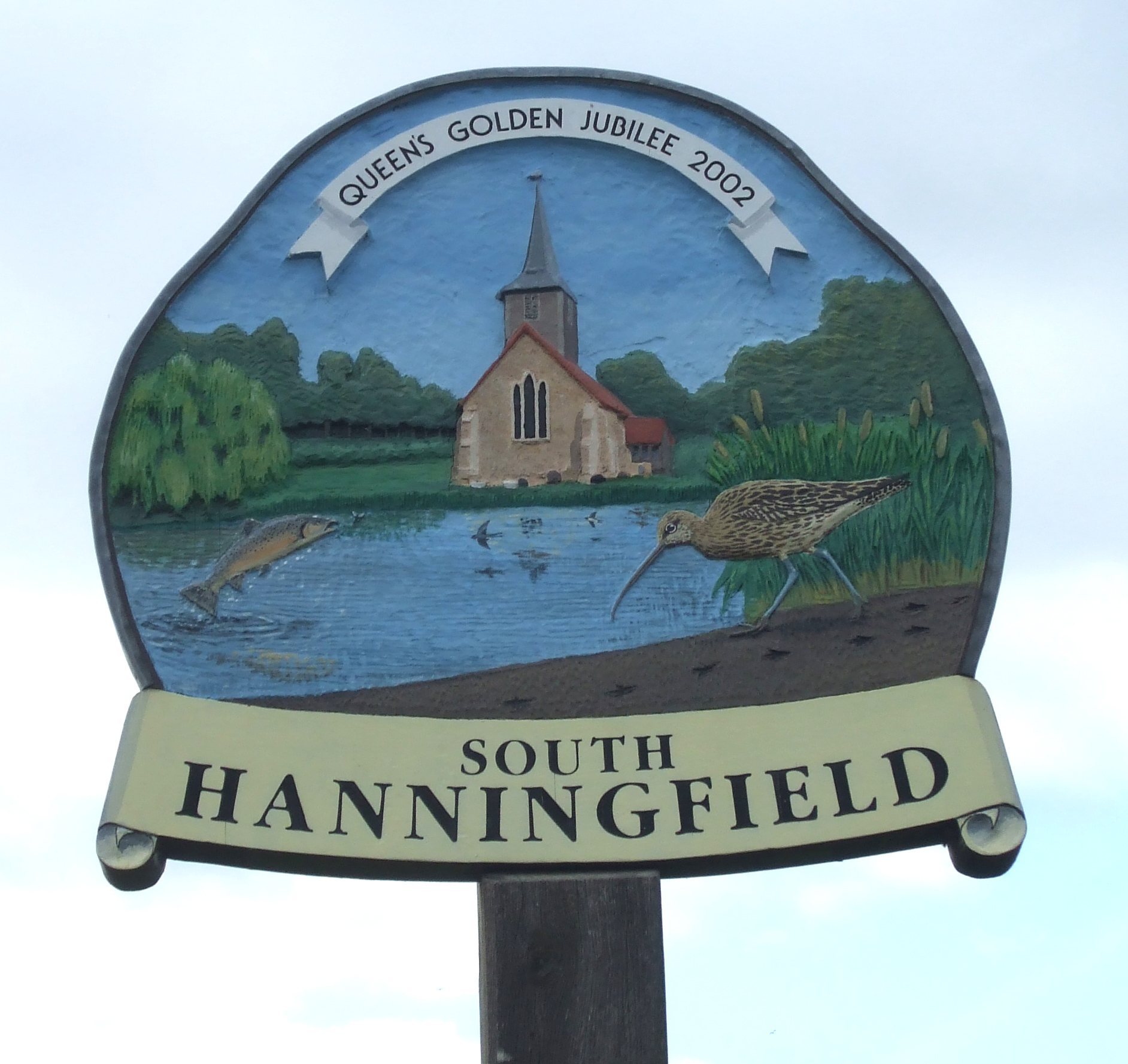
South Hanningfield

South Hanningfield is a small village and civil parish in the Chelmsford district of Essex, England. The village is located on the south bank of the Hanningfield...

Downham, Essex

Downham is a small village and former civil parish, now in the parish of South Hanningfield, in the City of Chelmsford district, Essex, England. It is...

Runwell Hospital

Runwell Hospital was a hospital in the Chelmsford district of Essex. It was managed by the South Essex Partnership University NHS Foundation Trust. �...

A132 road (England)

The A132 road is a road in England connecting Pitsea and South Woodham Ferrers. == Route description == The A132 starts from a roundabout next to the A13...

Hanningfield Reservoir

Hanningfield Reservoir is a large 25,500-million-litre (900,000,000 cu ft) pumped storage reservoir located between Billericay and Chelmsford in Essex...

Runwell

Runwell is a village near Wickford and a civil parish on the A132 road, in the Chelmsford District, in the English county of Essex. The village is surrounded...

Wickford railway station

Wickford railway station is on the Shenfield to Southend Line and is also the western terminus of the Crouch Valley Line in the east of England, serving...

Nearby Amenities

Located within 500m of 51.637716,0.51310082
Bus Stop
Galleons
Naptan AtcoCode: 15001001008
Naptan Bearing: NW
Naptan CommonName: Galleons
Naptan Indicator: o/s
Naptan Landmark: Galleons
Naptan NaptanCode: esxdjwgp
Naptan Street: Brock Hill
Naptan Verified: no
Public Transport: platform
Source: naptan_import
Lat/Long: 51.6380415/0.5104822
Galleons
Naptan AtcoCode: 150010010Y8
Naptan Bearing: SE
Naptan BusStopType: CUS
Naptan CommonName: Galleons
Naptan Indicator: Opp
Naptan Landmark: Galleons
Naptan NaptanCode: esxgpmgw
Naptan Street: Brock Hill
Naptan Verified: no
Public Transport: platform
Source: naptan_import
Lat/Long: 51.6380759/0.5105564
Brock Hill
Place: hamlet
Lat/Long: 51.6374503/0.5104187
Power: pole
Lat/Long: 51.6365402/0.5189082
Power: pole
Lat/Long: 51.6361423/0.5176958
Power: pole
Lat/Long: 51.6356729/0.5164084
Power: pole
Lat/Long: 51.6350786/0.5155313
Power: pole
Lat/Long: 51.634441/0.5145818
Power: pole
Lat/Long: 51.6336735/0.5133694
Colour: red and white
Inscription: GAS LTS HP GAS PIPELINE
Marker: aerial
Material: plastic
Utility: gas
Lat/Long: 51.6351245/0.5142162
Colour: red and white
Inscription: GAS LTS HP GAS PIPELINE
Marker: aerial
Material: plastic
Utility: gas
Lat/Long: 51.6351784/0.513296
Colour: red and white
Inscription: GAS LTS HP GAS PIPELINE
Marker: aerial
Material: plastic
Utility: gas
Lat/Long: 51.6354408/0.510166
Colour: red and white
Inscription: GAS LTS HP GAS PIPELINE
Marker: aerial
Material: plastic
Utility: gas
Lat/Long: 51.6351251/0.5143918
Colour: yellow
Inscription: GAS LTS HP GAS PIPELINE
Marker: post
Material: plastic
Utility: gas
Lat/Long: 51.6351254/0.5143867
Colour: yellow
Inscription: GAS LTS HP GAS PIPELINE
Marker: post
Material: plastic
Utility: gas
Lat/Long: 51.6351224/0.5143922
The data included in this document is from www.openstreetmap.org. The data is made available under ODbL.

Have you been to Middle Wood?

Leave your review of Middle Wood below (or comments, questions and feedback).