Brickhouse Wood

Wood, Forest in Sussex Rother

England

Brickhouse Wood

Level Crossing at Mountfield East Sussex Small level crossing on narrow road from Netherfield to Mountfield East Sussex on the Hastings to Charing Cross line.
Level Crossing at Mountfield East Sussex Credit: Janet Richardson

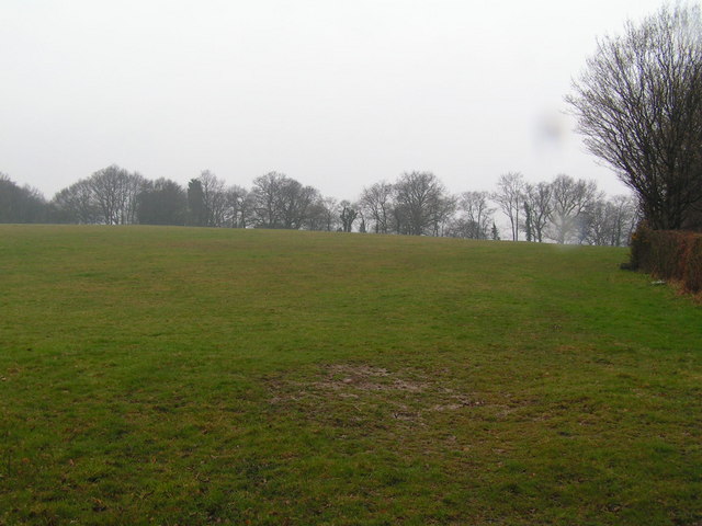
Brickhouse Wood is a picturesque woodland located in the county of Sussex, in southeastern England. Spanning over an area of approximately 50 acres, this enchanting forest is renowned for its breathtaking natural beauty and diverse range of flora and fauna.

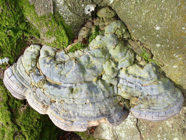
The woodland is predominantly composed of deciduous trees, such as oak, beech, and birch, which create a rich and vibrant canopy that provides shade and shelter to the forest floor below. The forest floor itself is adorned with a carpet of lush green ferns, wildflowers, and mosses, creating a serene and tranquil atmosphere.

Brickhouse Wood is home to a variety of wildlife, making it a popular destination for nature enthusiasts and birdwatchers. Visitors may spot an array of bird species, including woodpeckers, owls, and various songbirds. Additionally, the forest is inhabited by small mammals, such as squirrels, rabbits, and foxes, which can often be seen darting among the trees.

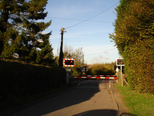
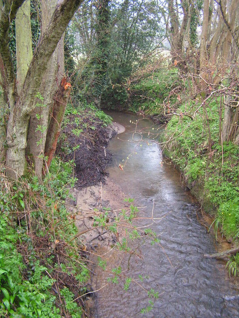
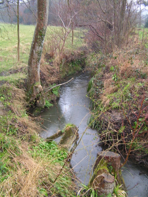
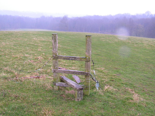
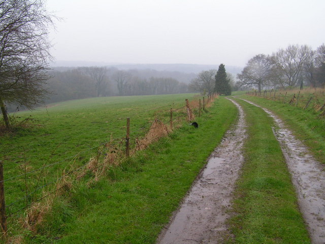
The wood offers several well-maintained walking trails, allowing visitors to explore its natural wonders at their own pace. These paths wind through the forest, offering glimpses of hidden clearings, bubbling streams, and ancient trees. The wood is also intersected by a small river, which adds to the overall charm and tranquility of the area.

Overall, Brickhouse Wood is a true gem of Sussex, offering a peaceful retreat from the hustle and bustle of daily life. Its captivating beauty, diverse wildlife, and serene ambiance make it a must-visit destination for nature lovers and those seeking solace in the heart of nature.

If you have any feedback on the listing, please let us know in the comments section below.

Brickhouse Wood Images

Images are sourced within 2km of 50.943095/0.4741386 or Grid Reference TQ7318. Thanks to Geograph Open Source API. All images are credited.

Level Crossing at Mountfield East Sussex Small level crossing on narrow road from Netherfield to Mountfield East Sussex on the Hastings to Charing Cross line.
Level Crossing at Mountfield East Sussex
Small level crossing on narrow road from Netherfield to Mountfield East Sussex on the Hastings to Charing Cross line.
Narrow Road Eatenden Lane a very narrow road between Netherfield and Mountfield East Sussex with Crowhurst Wood on the left and Upper Hucksteep Wood on the right.
Narrow Road
Eatenden Lane a very narrow road between Netherfield and Mountfield East Sussex with Crowhurst Wood on the left and Upper Hucksteep Wood on the right.
Mountfield Church Nr Battle East Sussex The structure of Mountfield Church was destroyed in the aftermath of the Battle of Hastings in 1066. Rebuilt between 1180 and 1200. A modest little church surrounded by beautiful countryside on all sides.
Mountfield Church Nr Battle East Sussex
The structure of Mountfield Church was destroyed in the aftermath of the Battle of Hastings in 1066. Rebuilt between 1180 and 1200. A modest little church surrounded by beautiful countryside on all sides.
The River Line A few miles downstream from here this river joins the R. Brede
The River Line
A few miles downstream from here this river joins the R. Brede
Tonbridge to Hastings railway line This is the main London to Hastings line via Tonbridge
Tonbridge to Hastings railway line
This is the main London to Hastings line via Tonbridge
A small wealden stream A small tributary of the R. Line
A small wealden stream
A small tributary of the R. Line
A field near Lower Gate Farm Typical wealden scene
A field near Lower Gate Farm
Typical wealden scene
A defunct stile The footpath running through this area is difficult to follow and this stile sums it up!
A defunct stile
The footpath running through this area is difficult to follow and this stile sums it up!
Farm track through the weald A typical piece of High weald scenery.
Farm track through the weald
A typical piece of High weald scenery.
Netherfield Church The sandstone tower of Netherfield Church under restoration.  The wording under the ornamental clock is "Redeem the time".
Netherfield Church
The sandstone tower of Netherfield Church under restoration. The wording under the ornamental clock is "Redeem the time".
The Old Schoolhouse, Netherfield An interesting sandstone building next to Netherfield Churchyard.
The Old Schoolhouse, Netherfield
An interesting sandstone building next to Netherfield Churchyard.
The Church of St John the Baptist at  Netherfield Despite its appearance of greater age, St John's Church was dedicated in 1860, apparently the gift of Lady Webster to the village in memory of her husband, Sir Godfrey Webster of Battle Abbey.
The Church of St John the Baptist at Netherfield
Despite its appearance of greater age, St John's Church was dedicated in 1860, apparently the gift of Lady Webster to the village in memory of her husband, Sir Godfrey Webster of Battle Abbey.
The Church Clock at Netherfield This decorative clock is to be found on the south face of the church tower high above the entrance doorway.
The Church Clock at Netherfield
This decorative clock is to be found on the south face of the church tower high above the entrance doorway.
The Church Tower at Netherfield St John the Baptist parish church was designed by Samuel Sanders Teulon, a Victorian architect. He was also responsible for the very attractive School and School-master's house that are adjacent to the churchyard.
The Church Tower at Netherfield
St John the Baptist parish church was designed by Samuel Sanders Teulon, a Victorian architect. He was also responsible for the very attractive School and School-master's house that are adjacent to the churchyard.
Fungus on a Beech Tree This one is about one foot wide, two or three inches thick, and solidly fixed to the tree trunk.
Fungus on a Beech Tree
This one is about one foot wide, two or three inches thick, and solidly fixed to the tree trunk.
Mountfield, red phonebox At the junction of Church Road and Hoath Hill (currently unofficially renamed Oat Hill).
Mountfield, red phonebox
At the junction of Church Road and Hoath Hill (currently unofficially renamed Oat Hill).
Wadhurst Lane through Ashes Wood Shown by OS as a "road used as public path", it is probably a restricted byway or bridleway now. There are width barriers at certain points along it. It has been upgraded considerably in the last 2 or 3 years, with improved drainage and surfacing.
Wadhurst Lane through Ashes Wood
Shown by OS as a "road used as public path", it is probably a restricted byway or bridleway now. There are width barriers at certain points along it. It has been upgraded considerably in the last 2 or 3 years, with improved drainage and surfacing.
Upper Hucksteep Wood The public footpath from Eatenden Lane to Mountfield.
Upper Hucksteep Wood
The public footpath from Eatenden Lane to Mountfield.
Show me another place!

Brickhouse Wood is located at Grid Ref: TQ7318 (Lat: 50.943095, Lng: 0.4741386)

Administrative County: East Sussex

District: Rother

Police Authority: Sussex

What 3 Words

///attracts.devoured.engulfing. Near Battle, East Sussex

Related Wikis

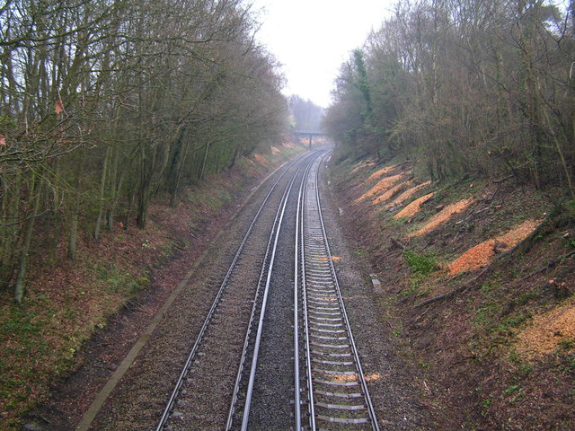
Mountfield Halt railway station

Mountfield Halt (TQ 746 197 50°57′01″N 0°29′12″E) was situated on the Hastings Line between Robertsbridge and Battle. It opened in 1923 and was closed...

Mountfield, East Sussex

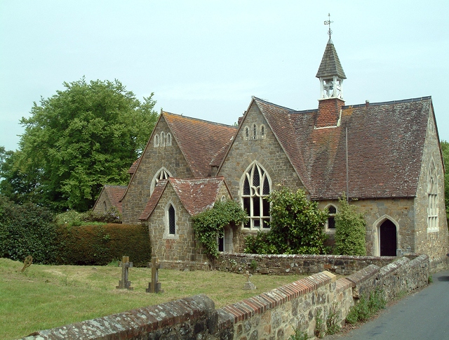
Mountfield is a village and civil parish in the Rother district of East Sussex, England, and three miles (5 km) north-west of Battle. It is mentioned in...

Vinehall School

Vinehall School is a co-educational day, boarding school and nursery located at Vinehall Street, near the town of Robertsbridge, East Sussex. It takes...
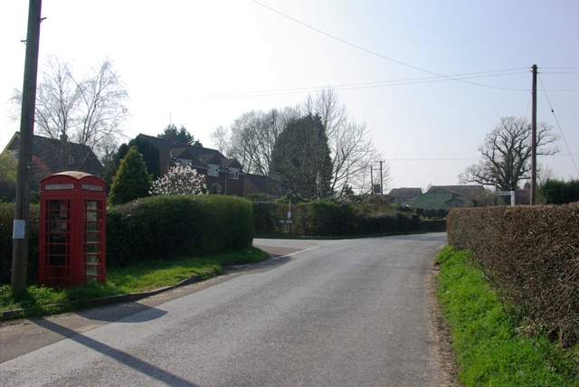
Vinehall Street

Vinehall Street (or Vinehall), is a linear settlement in the civil parishes of Mountfield and Whatlington, and the Rother district of East Sussex, England...

River Line SSSI

River Line SSSI is a 2.2-hectare (5.4-acre) geological Site of Special Scientific Interest south of Robertsbridge in East Sussex. It is a Geological Conservation...
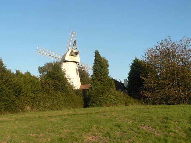
King's Head Mill

King's Mead Mill (also Battle Windmill or Caldbec Hill Mill) is a grade II listed smock mill at Battle, Sussex, England, which has been converted to residential...

Whatlington

Whatlington is a village and civil parish in the Rother district of East Sussex, England. The village is seven miles (11 km) north of Hastings, just off...

Battle, East Sussex

Battle is a town and civil parish in the district of Rother in East Sussex, England. It lies 50 miles (80 km) south-east of London, 27 miles (43 km) east...

Nearby Amenities

Located within 500m of 50.943095,0.4741386
Goldspur Wood
Natural: wood
Lat/Long: 50.9403853/0.4691859
Brickhouse Wood
Natural: wood
Lat/Long: 50.9436708/0.4747005
Burnt Oak Wood
Natural: wood
Lat/Long: 50.9426162/0.4794427
Power: pole
Lat/Long: 50.9457839/0.4763488
Power: pole
Lat/Long: 50.9441178/0.4787505
Power: pole
Lat/Long: 50.9448375/0.4802903
The data included in this document is from www.openstreetmap.org. The data is made available under ODbL.

Have you been to Brickhouse Wood?

Leave your review of Brickhouse Wood below (or comments, questions and feedback).