Foxearth Wood

Wood, Forest in Essex Chelmsford

England

Foxearth Wood

Church of St Peter, South Hanningfield Grade II* listed church - description at this <span class="nowrap"><a title="https://historicengland.org.uk/listing/the-list/list-entry/1236422" rel="nofollow ugc noopener" href="https://historicengland.org.uk/listing/the-list/list-entry/1236422">Link</a><img style="margin-left:2px;" alt="External link" title="External link - shift click to open in new window" src="https://s1.geograph.org.uk/img/external.png" width="10" height="10"/></span>.
Church of St Peter, South Hanningfield Credit: Jim Osley

Foxearth Wood is a picturesque woodland located in the county of Essex, England. It covers an area of approximately 100 acres and is part of the larger Foxearth and Liston Woods complex. The wood is nestled in the beautiful countryside and is known for its diverse range of flora and fauna.

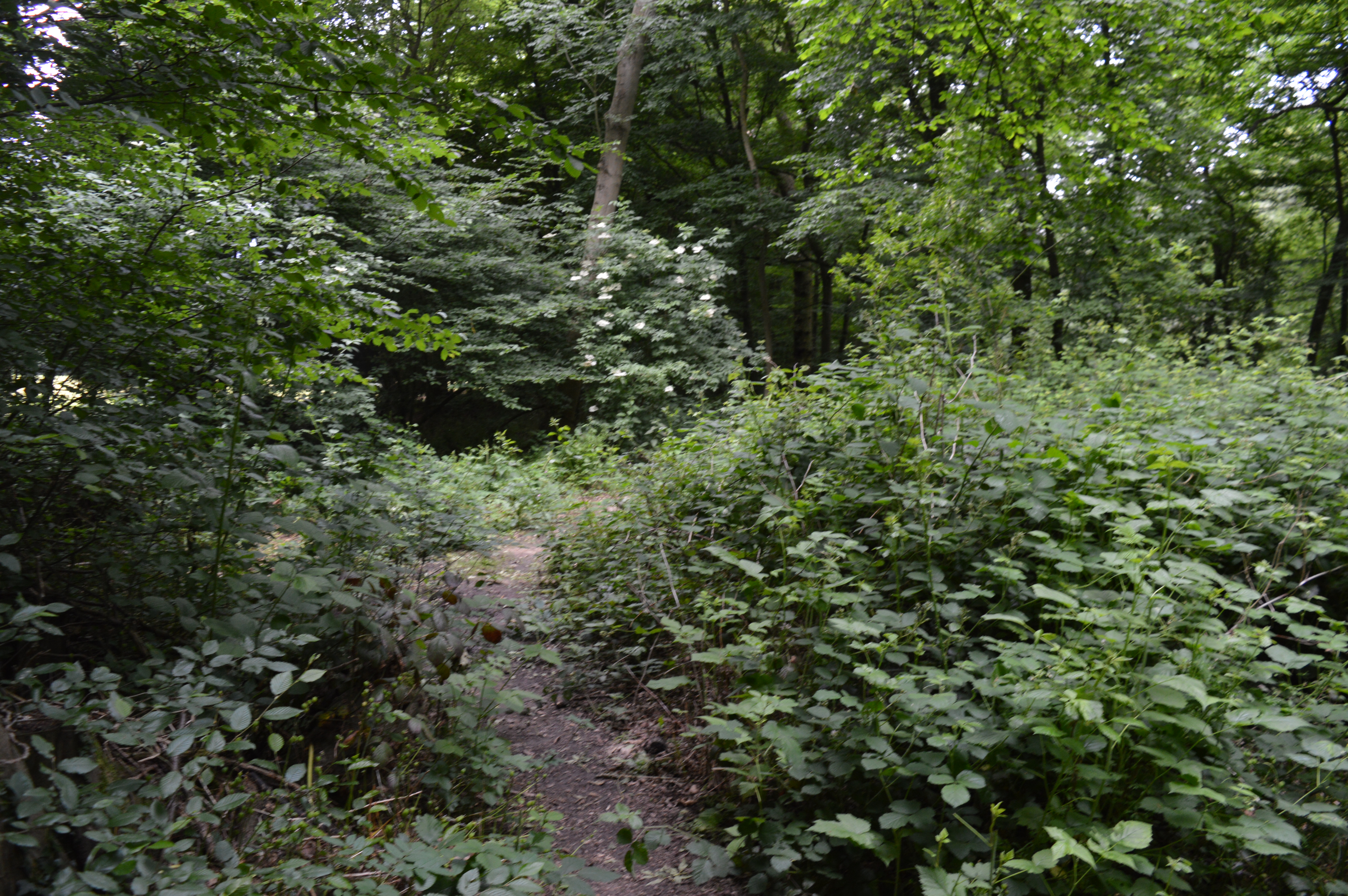
The woodland is primarily made up of oak and beech trees, which provide a dense canopy that filters sunlight and creates a tranquil atmosphere. The forest floor is covered in a carpet of wildflowers, including bluebells in the spring, adding bursts of color to the landscape. Several species of ferns and mosses also thrive in the damp undergrowth.

Foxearth Wood is home to a variety of wildlife, making it a popular spot for nature enthusiasts and birdwatchers. Visitors may spot deer gracefully bounding through the trees, or catch a glimpse of a fox or badger. The woodland is also a haven for birdlife, with species such as woodpeckers, owls, and nuthatches frequently seen and heard.

The wood is crisscrossed with a network of well-maintained footpaths, allowing visitors to explore its natural beauty and enjoy peaceful walks. These paths lead to a small pond, which attracts a range of aquatic wildlife including frogs, newts, and dragonflies.

Overall, Foxearth Wood in Essex offers a serene escape from the hustle and bustle of daily life. With its enchanting scenery, diverse flora and fauna, and well-marked trails, it is a perfect destination for nature lovers and those seeking a peaceful retreat in the heart of the English countryside.

If you have any feedback on the listing, please let us know in the comments section below.

Foxearth Wood Images

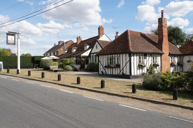
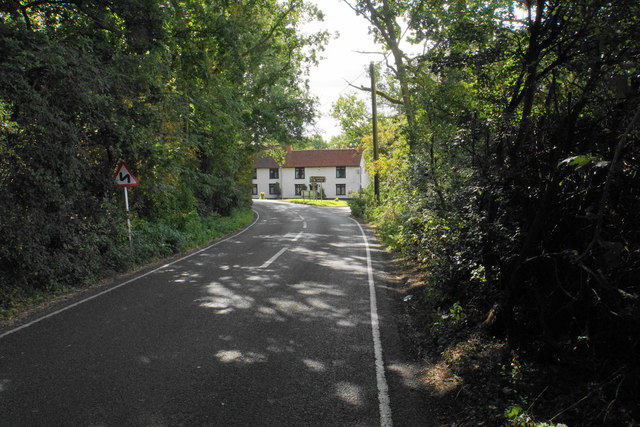
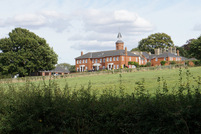
Images are sourced within 2km of 51.641716/0.51024331 or Grid Reference TQ7396. Thanks to Geograph Open Source API. All images are credited.

Church of St Peter, South Hanningfield Grade II* listed church - description at this <span class="nowrap"><a title="https://historicengland.org.uk/listing/the-list/list-entry/1236422" rel="nofollow ugc noopener" href="https://historicengland.org.uk/listing/the-list/list-entry/1236422">Link</a><img style="margin-left:2px;" alt="External link" title="External link - shift click to open in new window" src="https://s1.geograph.org.uk/img/external.png" width="10" height="10"/></span>.
Church of St Peter, South Hanningfield
Grade II* listed church - description at this LinkExternal link.
Mr Badger in the wood By a path in Hanningfield Reservoir nature reserve.
Mr Badger in the wood
By a path in Hanningfield Reservoir nature reserve.
Bus stops on School Road, Downham The stops are named 'Village Hall', which is set back just off to the left.
Bus stops on School Road, Downham
The stops are named 'Village Hall', which is set back just off to the left.
Hay for sale, Castledon Road Presumably at Downham Hall Farm, off near left.
Hay for sale, Castledon Road
Presumably at Downham Hall Farm, off near left.
Dovecote by Downham church The 18th century dovecote was originally in a field belonging to Downham Hall Farm. It was rebuilt here in 1991.
Dovecote by Downham church
The 18th century dovecote was originally in a field belonging to Downham Hall Farm. It was rebuilt here in 1991.
Castledon Road Heading towards Wickford.
Castledon Road
Heading towards Wickford.
Brock Hill, Runwell A road with traffic calming chicanes at intervals.
Brock Hill, Runwell
A road with traffic calming chicanes at intervals.
Bearmains, South Hanningfield Originally the 'big house' of the village, now split into several residences.
Bearmains, South Hanningfield
Originally the 'big house' of the village, now split into several residences.
The green at South Hanningfield The village sign struggles to assert itself against the other signposts.
The green at South Hanningfield
The village sign struggles to assert itself against the other signposts.
The Old Windmill The village pub. There isn't much evidence of a windmill now.
The Old Windmill
The village pub. There isn't much evidence of a windmill now.
South Hanningfield Road South Hanningfield is a scattered village, and this road is leaving it on the western side.
South Hanningfield Road
South Hanningfield is a scattered village, and this road is leaving it on the western side.
Field near South Hanningfield Possibly used for grazing but it hasn't had any recent attention.
Field near South Hanningfield
Possibly used for grazing but it hasn't had any recent attention.
Bearmains A large house now split into apartments.
Bearmains
A large house now split into apartments.
St Peter's, South Hanningfield As seen from Middlemead, the road which skirts Hanningfield Reservoir.
St Peter's, South Hanningfield
As seen from Middlemead, the road which skirts Hanningfield Reservoir.
Hanningfield Reservoir A brief glimpse through the trees from Middlemead, the road which passes round the eastern side. The reservoir was created in 1957.
Hanningfield Reservoir
A brief glimpse through the trees from Middlemead, the road which passes round the eastern side. The reservoir was created in 1957.
St Peter's Church, South Hanningfield Grade II* listed building dating from the early 12th Century with inevitable Victorian improvements. I was given a suggestion that some of the stonework came from Roman remains in London. The church was being prepared for a flower festival.
St Peter's Church, South Hanningfield
Grade II* listed building dating from the early 12th Century with inevitable Victorian improvements. I was given a suggestion that some of the stonework came from Roman remains in London. The church was being prepared for a flower festival.
Hillside near South Hanningfield
South Hanningfield Road A lot of the local facilities relate to equestrianism.
South Hanningfield Road
A lot of the local facilities relate to equestrianism.
Show me another place!

Foxearth Wood is located at Grid Ref: TQ7396 (Lat: 51.641716, Lng: 0.51024331)

Administrative County: Essex

District: Chelmsford

Police Authority: Essex

What 3 Words

///hamster.lung.tolerates. Near Wickford, Essex

Related Wikis

Crowsheath Wood

Crowsheath Wood (or Thrift Wood) is an 8.1-hectare (20-acre) nature reserve in Downham, between Billericay and South Woodham Ferrers in Essex. It is managed...
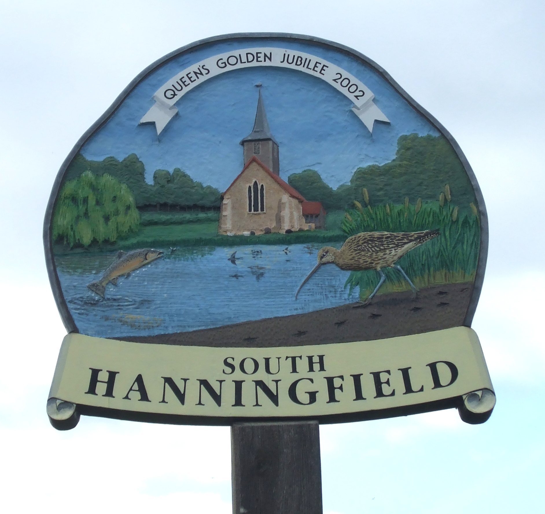
South Hanningfield

South Hanningfield is a small village and civil parish in the Chelmsford district of Essex, England. The village is located on the south bank of the Hanningfield...

Downham, Essex

Downham is a small village and former civil parish, now in the parish of South Hanningfield, in the City of Chelmsford district, Essex, England. It is...

Hanningfield Reservoir

Hanningfield Reservoir is a large 25,500-million-litre (900,000,000 cu ft) pumped storage reservoir located between Billericay and Chelmsford in Essex...

Nearby Amenities

Located within 500m of 51.641716,0.51024331
Bus Stop
Galleons
Naptan AtcoCode: 15001001008
Naptan Bearing: NW
Naptan CommonName: Galleons
Naptan Indicator: o/s
Naptan Landmark: Galleons
Naptan NaptanCode: esxdjwgp
Naptan Street: Brock Hill
Naptan Verified: no
Public Transport: platform
Source: naptan_import
Lat/Long: 51.6380415/0.5104822
Bus Stop
Sudbury Road
Naptan AtcoCode: 15001001009
Naptan Bearing: NW
Naptan CommonName: Sudbury Road
Naptan Crossing: Sudbury Road
Naptan Indicator: Adj
Naptan Landmark: Sudbury Road
Naptan NaptanCode: esxdmadt
Naptan Street: Brock Hill
Naptan Verified: no
Public Transport: platform
Source: naptan_import
Lat/Long: 51.6400329/0.5065162
Galleons
Naptan AtcoCode: 150010010Y8
Naptan Bearing: SE
Naptan BusStopType: CUS
Naptan CommonName: Galleons
Naptan Indicator: Opp
Naptan Landmark: Galleons
Naptan NaptanCode: esxgpmgw
Naptan Street: Brock Hill
Naptan Verified: no
Public Transport: platform
Source: naptan_import
Lat/Long: 51.6380759/0.5105564
Sudbury Road
Naptan AtcoCode: 150010010Y9
Naptan Bearing: SE
Naptan BusStopType: CUS
Naptan CommonName: Sudbury Road
Naptan Crossing: Sudbury Road
Naptan Indicator: Opp
Naptan Landmark: Sudbury Road
Naptan NaptanCode: esxgpmgd
Naptan Street: Brock Hill
Naptan Verified: no
Public Transport: platform
Source: naptan_import
Lat/Long: 51.6400583/0.5065899
Brock Hill
Place: hamlet
Lat/Long: 51.6374503/0.5104187
The data included in this document is from www.openstreetmap.org. The data is made available under ODbL.

Have you been to Foxearth Wood?

Leave your review of Foxearth Wood below (or comments, questions and feedback).