Gayton Thorpe Wood
Wood, Forest in Norfolk King's Lynn and West Norfolk
England
Gayton Thorpe Wood

Gayton Thorpe Wood is a small woodland located in the county of Norfolk, England. Situated in the village of Gayton Thorpe, the wood covers an area of approximately 20 hectares (49 acres) and is known for its natural beauty and diverse flora and fauna.
The woodland is primarily composed of deciduous trees such as oak, ash, and beech, which provide a rich and varied habitat for many species of wildlife. The forest floor is carpeted with an array of wildflowers, including bluebells, primroses, and wood anemones, creating a vibrant and picturesque scene during the spring months.
Gayton Thorpe Wood is a popular destination for nature enthusiasts and birdwatchers, as it attracts a wide range of bird species. Visitors may spot woodpeckers, tawny owls, and various warblers, among others. The wood is also home to small mammals such as rabbits, squirrels, and deer, which can occasionally be seen foraging amongst the trees.
The woodland offers a peaceful and tranquil environment for visitors to enjoy. There are several walking trails that wind their way through the trees, allowing visitors to explore the beauty of the wood at their own pace. The paths are well-maintained and marked, making it easy for visitors to navigate through the forest.
In addition to its natural beauty, Gayton Thorpe Wood also holds historical significance. The wood has been part of the local landscape for centuries and has likely witnessed various human activities over time. Its ancient trees and serene atmosphere serve as a reminder of Norfolk's rich natural heritage.
If you have any feedback on the listing, please let us know in the comments section below.
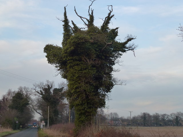
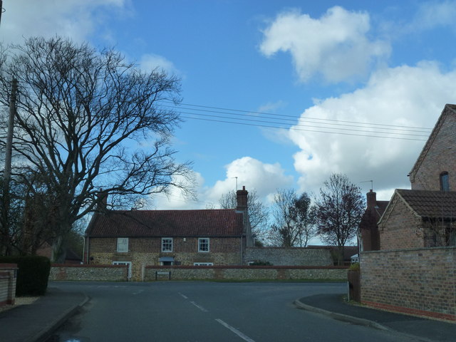
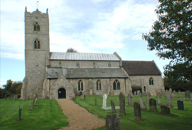
Gayton Thorpe Wood Images
Images are sourced within 2km of 52.73777/0.57243578 or Grid Reference TF7318. Thanks to Geograph Open Source API. All images are credited.


Gayton Thorpe Wood is located at Grid Ref: TF7318 (Lat: 52.73777, Lng: 0.57243578)
Administrative County: Norfolk
District: King's Lynn and West Norfolk
Police Authority: Norfolk
What 3 Words
///lashed.bravest.trackers. Near Grimston, Norfolk
Nearby Locations
Related Wikis

Gayton Thorpe Roman Villa
Gayton Thorpe Roman Villa is the site of a Roman villa, near Gayton Thorpe and about 5 miles (8 km) east of King's Lynn, in Norfolk, England. It was discovered...
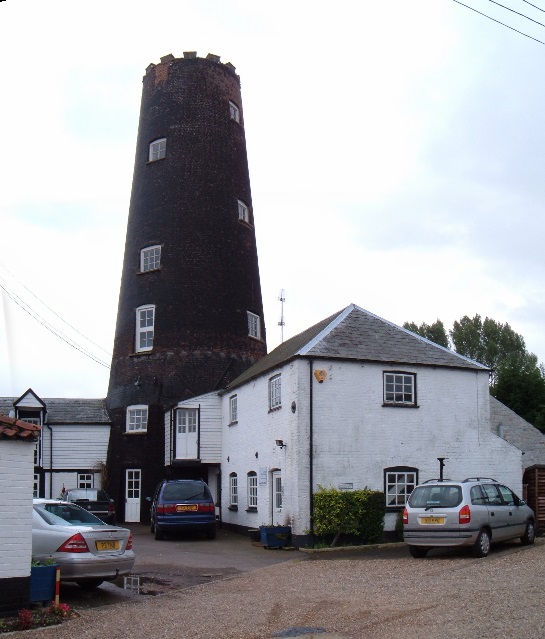
Gayton Windmill, Norfolk
For the Gayton Windmill now in Merseyside see Gayton Windmill, Cheshire Gayton Mill is a Grade II listed tower mill at Gayton, Norfolk, England which...
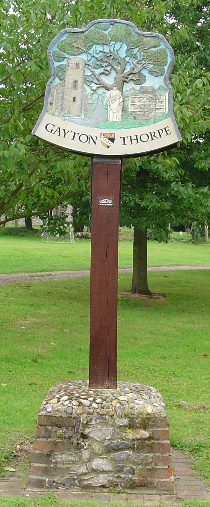
Gayton Thorpe
Gayton Thorpe is a village and former civil parish, now in the parish of Gayton, in the King's Lynn and West Norfolk district, in the county of Norfolk...
St Nicholas Church, Gayton
St Nicholas Church is a Church of England church located in Gayton, Norfolk. == Overview == The construction of the church building was completed in 1604...

Gayton, Norfolk
Gayton is a village and civil parish in the English county of Norfolk. The village is located 6 miles (9.7 km) east of King's Lynn and 32 miles (51 km...

East Walton and Adcock's Common
East Walton and Adcock's Common is a 62.4-hectare (154-acre) biological and geological Site of Special Scientific Interest south-east of King's Lynn in...
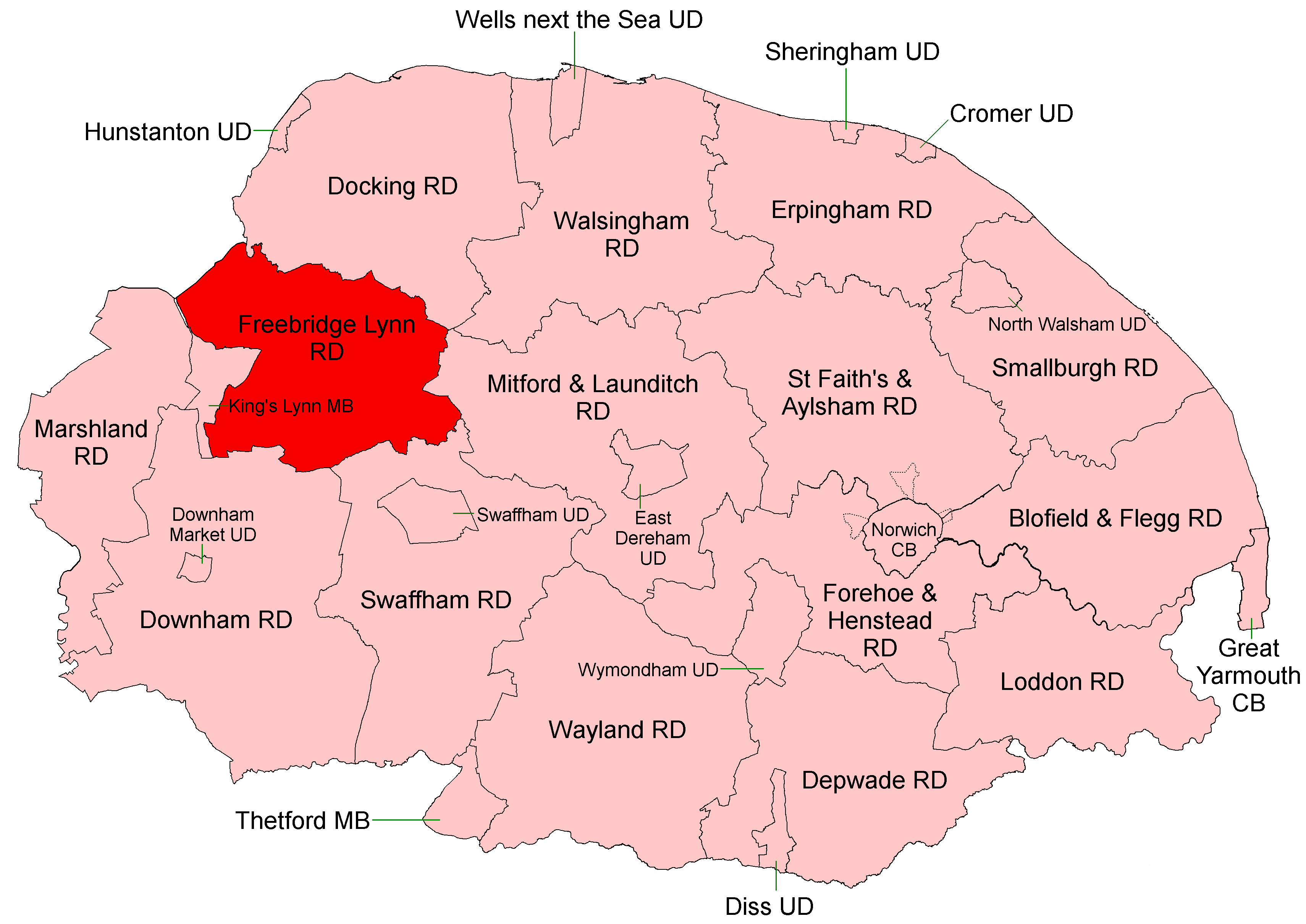
Freebridge Lynn Rural District
Freebridge Lynn Rural District was a rural district in Norfolk, England from 1894 to 1974.It was formed under the Local Government Act 1894 based on the...

Docking Rural District
Docking Lynn Rural District was a rural district in Norfolk, England from 1894 to 1974.It was formed under the Local Government Act 1894 based on the Docking...
Nearby Amenities
Located within 500m of 52.73777,0.57243578Have you been to Gayton Thorpe Wood?
Leave your review of Gayton Thorpe Wood below (or comments, questions and feedback).