Bushy Wood
Wood, Forest in Essex Chelmsford
England
Bushy Wood
Bushy Wood is a picturesque forest located in Essex, England. Covering an area of approximately 200 acres, this woodland is a popular destination for nature lovers and outdoor enthusiasts. It is situated near the village of Danbury and is part of the larger Danbury Commons and Blakes Wood Site of Special Scientific Interest.
The wood is primarily composed of native broadleaf trees, including oak, beech, and hornbeam, which create a dense canopy that provides shade and shelter for a variety of wildlife. The forest floor is covered in a carpet of bluebells during the spring, creating a stunning display of color.
Bushy Wood offers a network of well-maintained walking trails, making it an ideal spot for leisurely strolls and hikes. These paths wind their way through the woodland, allowing visitors to explore its diverse habitats. There are also designated picnic areas where families can enjoy a meal amidst the tranquility of nature.
The forest is home to a wide range of flora and fauna, including deer, badgers, foxes, and a variety of bird species. It is a designated Local Wildlife Site, highlighting its importance for conservation and biodiversity.
Bushy Wood is managed by the Essex Wildlife Trust, which works tirelessly to protect and preserve its natural beauty. They organize educational events and activities for visitors of all ages, promoting an understanding and appreciation for the environment.
Overall, Bushy Wood is a haven for those seeking a peaceful escape from the hustle and bustle of everyday life. With its stunning scenery, diverse wildlife, and well-maintained trails, it offers an enchanting experience for nature enthusiasts and a valuable habitat for countless species.
If you have any feedback on the listing, please let us know in the comments section below.
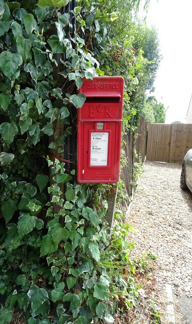
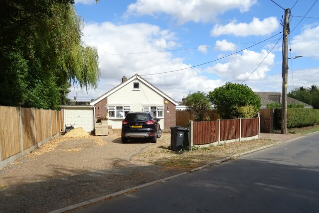
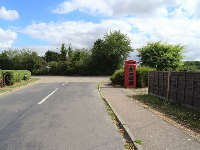
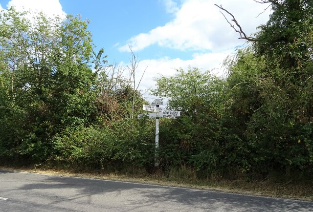
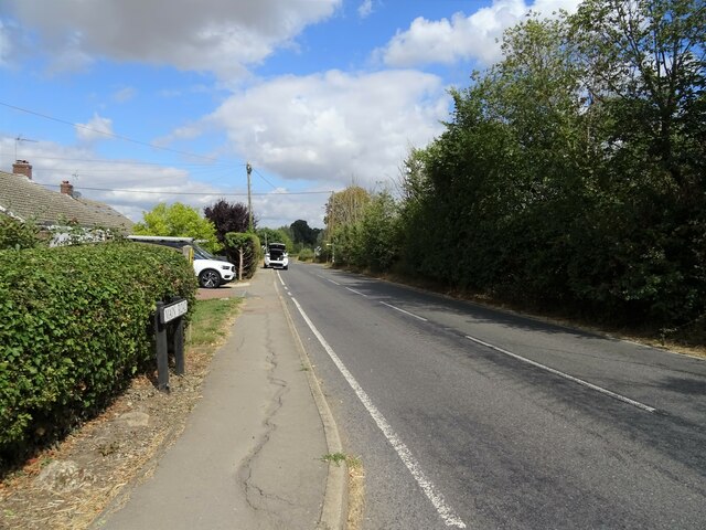
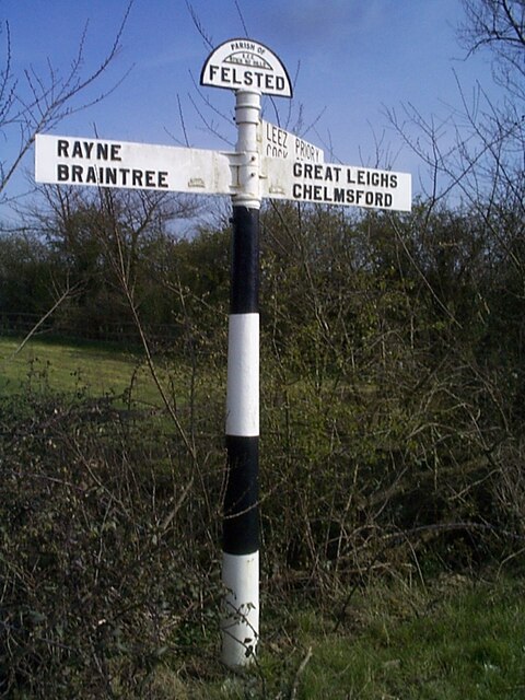
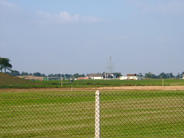
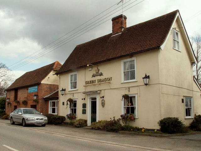
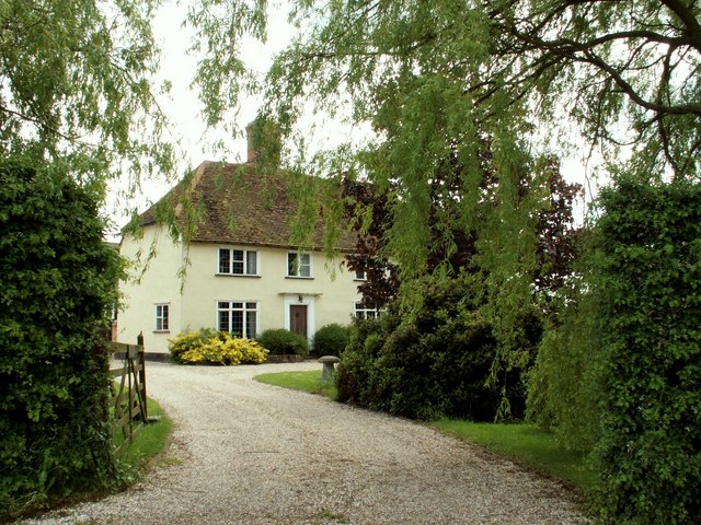
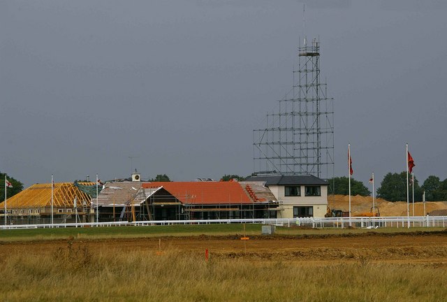
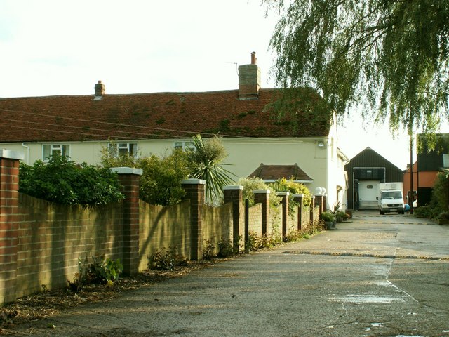
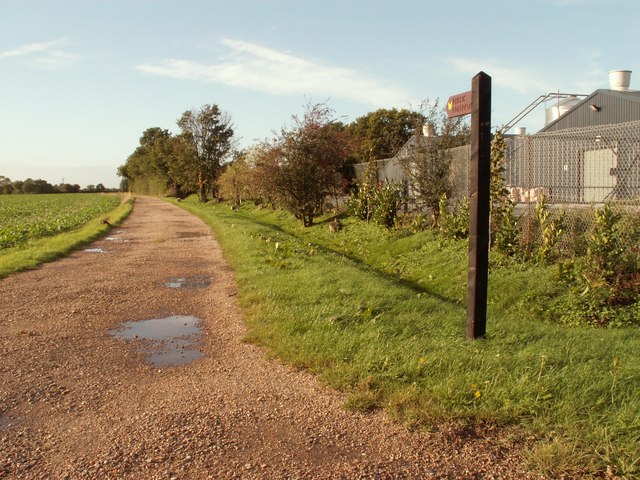
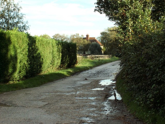
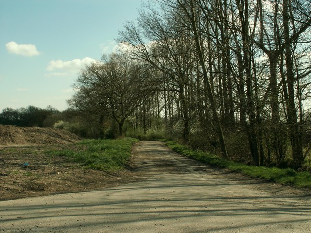
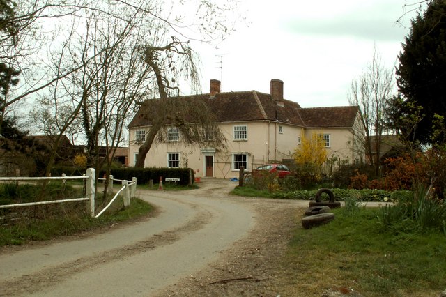
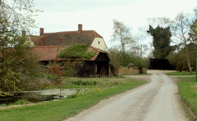
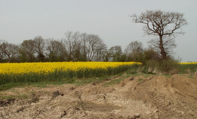
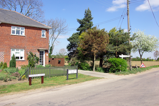
Bushy Wood Images
Images are sourced within 2km of 51.84074/0.52043126 or Grid Reference TL7318. Thanks to Geograph Open Source API. All images are credited.

Bushy Wood is located at Grid Ref: TL7318 (Lat: 51.84074, Lng: 0.52043126)
Administrative County: Essex
District: Chelmsford
Police Authority: Essex
What 3 Words
///doses.debut.conspired. Near Great Leighs, Essex
Nearby Locations
Related Wikis

Chelmsford City Racecourse
Chelmsford City racecourse, originally known as Great Leighs Racecourse, is a thoroughbred horse racing venue located in Great Leighs near Braintree, Essex...

Young's End
Young's End is a hamlet in the Braintree district of Essex, England. The population of the hamlet is included in the civil parish of Black Notley. It is...
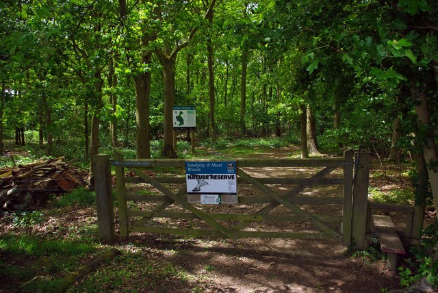
Sandylay and Moat Woods
Sandylay and Moat Woods is a 7.5-hectare (19-acre) nature reserve east of Great Leighs in Essex. It is owned and managed by the Essex Wildlife Trust.These...
Rank's Green
Rank's Green or Ranks Green is a hamlet in the Braintree district, in the county of Essex, England. Other nearby settlements include the town of Braintree...
Nearby Amenities
Located within 500m of 51.84074,0.52043126Have you been to Bushy Wood?
Leave your review of Bushy Wood below (or comments, questions and feedback).