Brick Kiln Covert
Wood, Forest in Suffolk West Suffolk
England
Brick Kiln Covert
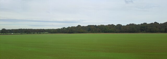
Brick Kiln Covert is a beautiful woodland located in Suffolk, England. Covering an area of approximately 100 acres, it is a prominent natural feature of the region. The woodland is characterized by a diverse range of tree species, including oak, beech, birch, and pine, which create a rich and varied habitat for local wildlife.
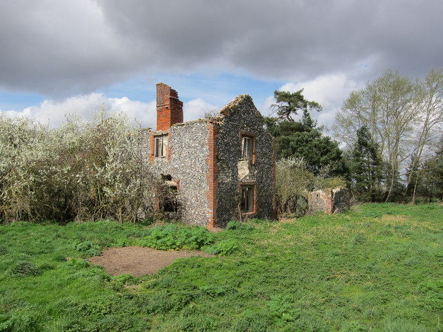
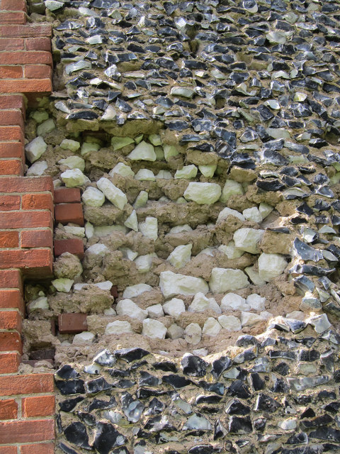
The woodland is named after the brick kilns that were once used in the area to produce bricks during the Victorian era. Remnants of these historic kilns can still be found scattered throughout the woodland, adding to its historical significance.
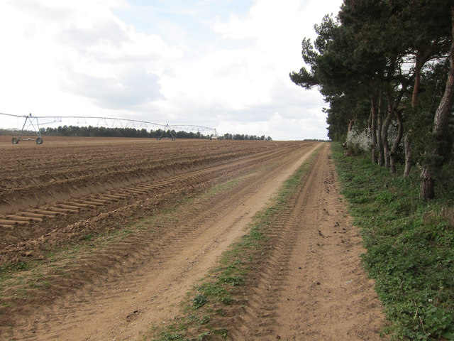
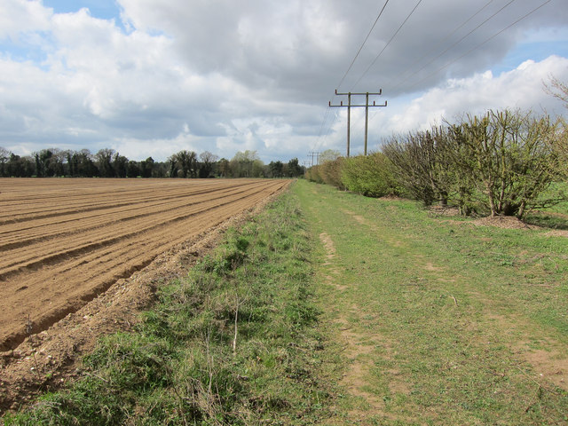
Brick Kiln Covert is a popular destination for nature enthusiasts and outdoor enthusiasts alike. It offers a network of well-maintained trails that meander through the woodland, allowing visitors to explore and appreciate the natural beauty of the area. These trails are perfect for walking, jogging, or cycling, providing a peaceful escape from the hustle and bustle of everyday life.
The woodland is home to a variety of wildlife, including deer, foxes, badgers, and a wide array of bird species. Nature enthusiasts will delight in the opportunity to spot these creatures in their natural habitat. The woodland also boasts an impressive display of wildflowers during the spring and summer months, further enhancing its allure.
Overall, Brick Kiln Covert is a tranquil and picturesque woodland, offering visitors a chance to immerse themselves in nature and experience the beauty of the Suffolk countryside. Whether it's a leisurely stroll, a birdwatching expedition, or a family picnic, this woodland provides the perfect setting for outdoor activities and a peaceful retreat.
If you have any feedback on the listing, please let us know in the comments section below.
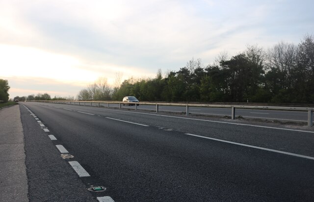
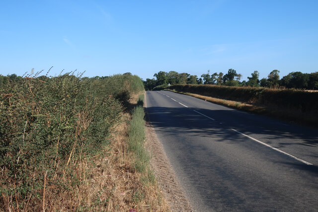
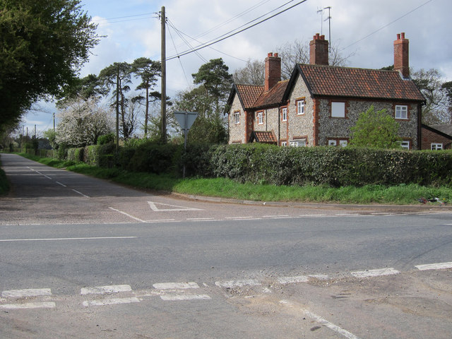
Brick Kiln Covert Images
Images are sourced within 2km of 52.282889/0.54372532 or Grid Reference TL7368. Thanks to Geograph Open Source API. All images are credited.


Brick Kiln Covert is located at Grid Ref: TL7368 (Lat: 52.282889, Lng: 0.54372532)
Administrative County: Suffolk
District: West Suffolk
Police Authority: Suffolk
What 3 Words
///overheat.sling.hurt. Near Mildenhall, Suffolk
Nearby Locations
Related Wikis

A14 road (England)
The A14 is a major trunk road in England, running 127 miles (204 km) from Catthorpe Interchange, a major intersection at the southern end of the M6 and...

Higham railway station (Suffolk)
Higham railway station was a station serving Higham in the English county of Suffolk. It was opened by the Great Eastern Railway in 1854 when the railway...

Herringswell
Herringswell is a village and civil parish in the West Suffolk district of Suffolk in eastern England. In 2005 it had a population of 190. In 2007 there...

Kentford
Kentford is a village and civil parish located in the West Suffolk district of Suffolk in eastern England. Situated on the banks of the River Kennet, the...

Cavenham
Cavenham is a village and civil parish in Suffolk, England, 10 kilometres (6 mi) northwest of Bury St Edmunds. It is in the local government district of...
Higham, West Suffolk
Higham is a village and civil parish in the West Suffolk district of Suffolk in the east of England. Located midway between Bury St Edmunds and Newmarket...

Tuddenham
Tuddenham is a village and civil parish in the West Suffolk district of Suffolk in eastern England. In 2005 it had a population of 450. falling to 423...

Gazeley Windmill
Gazeley Mill is a tower mill at Gazeley, Suffolk, England which has been converted to residential accommodation. == History == Gazeley Mill was built in...
Nearby Amenities
Located within 500m of 52.282889,0.54372532Have you been to Brick Kiln Covert?
Leave your review of Brick Kiln Covert below (or comments, questions and feedback).