Skilton's Hill Wood

Wood, Forest in Kent Tonbridge and Malling

England

Skilton's Hill Wood

Home Bargains and Aldi, Horsted Retail Park, Chatham Just off Maidstone Road, Chatham
Home Bargains and Aldi, Horsted Retail Park, Chatham Credit: Richard Gadsby

Skilton's Hill Wood is a beautiful woodland area located in the county of Kent, England. Covering an area of approximately 50 acres, it is a popular destination for nature lovers, walkers, and wildlife enthusiasts. The wood is situated near the village of Skilton, hence the name.

The woodland is characterized by a diverse range of tree species, including oak, beech, ash, and birch, which create a dense and vibrant canopy. The forest floor is covered with a rich carpet of ferns, bluebells, and wildflowers, adding to the natural beauty of the area.

Skilton's Hill Wood is home to a variety of wildlife, making it a haven for animal lovers. Visitors may have the chance to spot deer, foxes, badgers, and a wide array of bird species such as woodpeckers and owls. The wood also supports a diverse insect population, including butterflies and dragonflies.

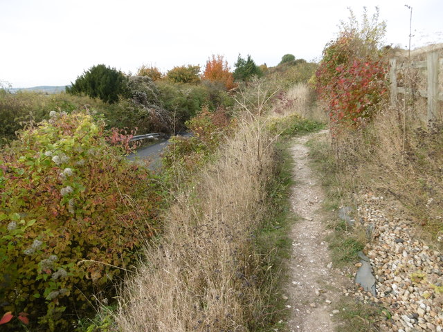
The wood offers several walking trails that allow visitors to explore its enchanting beauty. These well-maintained paths wind through the trees, providing opportunities to immerse oneself in the tranquility of nature. The wood is also a popular spot for picnics and family outings, with designated areas for relaxation and recreation.

Skilton's Hill Wood is managed and maintained by a local conservation organization, ensuring the preservation of its natural beauty and biodiversity. Access to the wood is free, and it is open to the public year-round, providing a peaceful retreat from the hustle and bustle of everyday life.

If you have any feedback on the listing, please let us know in the comments section below.

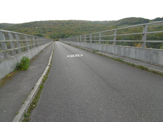
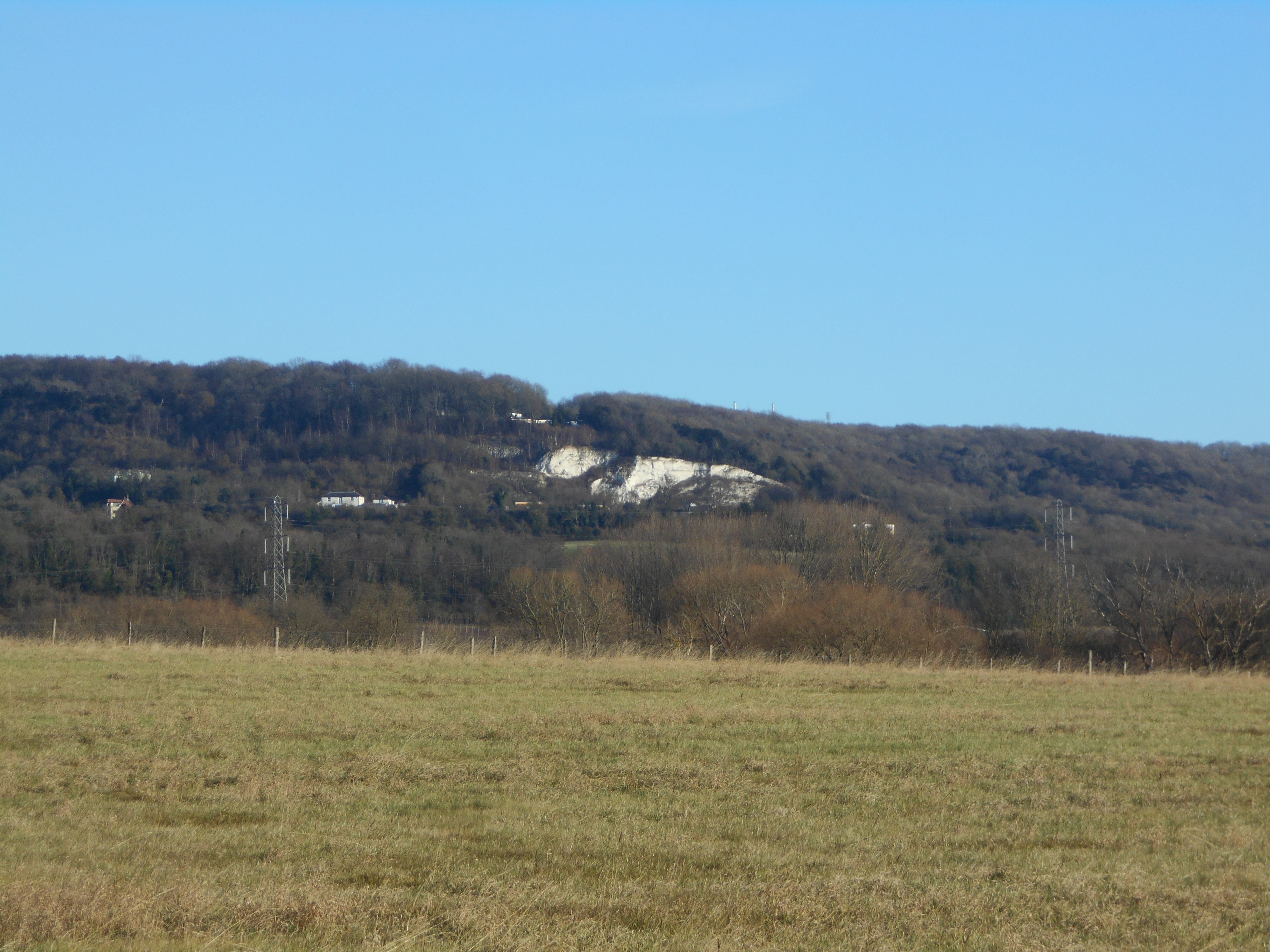
Skilton's Hill Wood Images

Images are sourced within 2km of 51.344746/0.48998507 or Grid Reference TQ7363. Thanks to Geograph Open Source API. All images are credited.

Home Bargains and Aldi, Horsted Retail Park, Chatham Just off Maidstone Road, Chatham
Home Bargains and Aldi, Horsted Retail Park, Chatham
Just off Maidstone Road, Chatham
KFC, Horsted Retail Park, Chatham Just off Maidstone Road Chatham
KFC, Horsted Retail Park, Chatham
Just off Maidstone Road Chatham
Roundabout on Maidstone Road, Chatham
Asda on Maidstone Road, Walderslade
Kent Air Ambulance Memorial at Blue Bell Hill This memorial is on Blue Bell Hill which overlooks the scarp slope of the North Downs to the north of Maidstone. The photograph was taken two days before the 25th anniversary of the loss of the three crew, hence the floral tributes. The North Downs Way passes here and gives some of the best views to be had along the route.
Kent Air Ambulance Memorial at Blue Bell Hill
This memorial is on Blue Bell Hill which overlooks the scarp slope of the North Downs to the north of Maidstone. The photograph was taken two days before the 25th anniversary of the loss of the three crew, hence the floral tributes. The North Downs Way passes here and gives some of the best views to be had along the route.
The original Court Road in Burham This has been stopped off at both ends as through traffic now uses the new road.
Residents have access from other estate roads
The original Court Road in Burham
This has been stopped off at both ends as through traffic now uses the new road. Residents have access from other estate roads
Church Street, Burham
Rochester Airport Rochester Airport dates from 1933. It has two grass runways which form a cross. This looks across the north-western part of one of the runways from Laker Road with Rochester Trade Park beyond. 

A full history of the airport can be seen at <span class="nowrap"><a title="https://en.wikipedia.org/wiki/Rochester_Airport_(Kent)" rel="nofollow ugc noopener" href="https://en.wikipedia.org/wiki/Rochester_Airport_(Kent)">Link</a><img style="margin-left:2px;" alt="External link" title="External link - shift click to open in new window" src="https://s1.geograph.org.uk/img/external.png" width="10" height="10"/></span>
Rochester Airport
Rochester Airport dates from 1933. It has two grass runways which form a cross. This looks across the north-western part of one of the runways from Laker Road with Rochester Trade Park beyond. A full history of the airport can be seen at LinkExternal link
Stony Lane Stony Lane leads down from Maidstone Road and is cut through the chalk before crossing over the M2 and then over HS1 before reaching Upper Nashenden Farm. Beyond Upper Nashenden Farm a bridleway leads up between Monk Wood and Syle Wood to reach the North Downs Way at Common Road. Another bridleway leads away from Stony Lane before HS1 is reached and follows a route between HS1 and the M2 to reach the North Downs Way at Nashenden Farm.

This view is just downhill from Maidstone Road. Stony Lane is surprisingly busy with traffic.
Stony Lane
Stony Lane leads down from Maidstone Road and is cut through the chalk before crossing over the M2 and then over HS1 before reaching Upper Nashenden Farm. Beyond Upper Nashenden Farm a bridleway leads up between Monk Wood and Syle Wood to reach the North Downs Way at Common Road. Another bridleway leads away from Stony Lane before HS1 is reached and follows a route between HS1 and the M2 to reach the North Downs Way at Nashenden Farm. This view is just downhill from Maidstone Road. Stony Lane is surprisingly busy with traffic.
Path alongside Stony Lane Stony Lane leads down from Maidstone Road and is cut through the chalk before crossing over the M2 and then over HS1 before reaching Upper Nashenden Farm. Beyond Upper Nashenden Farm a bridleway leads up between Monk Wood and Syle Wood to reach the North Downs Way at Common Road. Another bridleway leads away from Stony Lane before HS1 is reached and follows a route between HS1 and the M2 to reach the North Downs Way at Nashenden Farm.

This view is just downhill from Maidstone Road. Stony Lane is surprisingly busy with traffic and even this short footpath above it gives a very brief respite from cars and vans. The underlying chalk can be clearly seen.
Path alongside Stony Lane
Stony Lane leads down from Maidstone Road and is cut through the chalk before crossing over the M2 and then over HS1 before reaching Upper Nashenden Farm. Beyond Upper Nashenden Farm a bridleway leads up between Monk Wood and Syle Wood to reach the North Downs Way at Common Road. Another bridleway leads away from Stony Lane before HS1 is reached and follows a route between HS1 and the M2 to reach the North Downs Way at Nashenden Farm. This view is just downhill from Maidstone Road. Stony Lane is surprisingly busy with traffic and even this short footpath above it gives a very brief respite from cars and vans. The underlying chalk can be clearly seen.
The M2 from Stony Lane bridge Stony Lane leads down from Maidstone Road and is cut through the chalk before crossing over the M2 and then over HS1 before reaching Upper Nashenden Farm. Beyond Upper Nashenden Farm a bridleway leads up between Monk Wood and Syle Wood to reach the North Downs Way at Common Road. Another bridleway leads away from Stony Lane before HS1 is reached and follows a route between HS1 and the M2 to reach the North Downs Way at Nashenden Farm.

This view looks down towards the Medway Valley with the coast-bound carriageway nearest. The North Downs Way follows the tree line on the left hand hillside.
The M2 from Stony Lane bridge
Stony Lane leads down from Maidstone Road and is cut through the chalk before crossing over the M2 and then over HS1 before reaching Upper Nashenden Farm. Beyond Upper Nashenden Farm a bridleway leads up between Monk Wood and Syle Wood to reach the North Downs Way at Common Road. Another bridleway leads away from Stony Lane before HS1 is reached and follows a route between HS1 and the M2 to reach the North Downs Way at Nashenden Farm. This view looks down towards the Medway Valley with the coast-bound carriageway nearest. The North Downs Way follows the tree line on the left hand hillside.
Medway Towns Gurdwara The Sikh temple of Medway Towns Gurdwara is found on Lankester Parker Road, near to Rochester Airport.
Medway Towns Gurdwara
The Sikh temple of Medway Towns Gurdwara is found on Lankester Parker Road, near to Rochester Airport.
Lankester Parker Road This is Lankester Parker Road, with Rochester Airport at the end of the road ahead. On the left is Medway Towns Gurdwara, and a close up of this Sikh temple can be seen at <a title="https://www.geograph.org.uk/photo/5174087" href="https://www.geograph.org.uk/photo/5174087">Link</a>
Lankester Parker Road
This is Lankester Parker Road, with Rochester Airport at the end of the road ahead. On the left is Medway Towns Gurdwara, and a close up of this Sikh temple can be seen at Link
Stony Lane crossing the M2 Stony Lane leads down from Maidstone Road and is cut through the chalk before crossing over the M2 and then over HS1 before reaching Upper Nashenden Farm. Beyond Upper Nashenden Farm a bridleway leads up between Monk Wood and Syle Wood to reach the North Downs Way at Common Road. Another bridleway leads away from Stony Lane before HS1 is reached and follows a route between HS1 and the M2 to reach the North Downs Way at Nashenden Farm.

This view looks across the bridge where Stony Lane crosses the M2. Monk Wood can be seen beyond. The view from the bridge can be seen at <a title="https://www.geograph.org.uk/photo/5173144" href="https://www.geograph.org.uk/photo/5173144">Link</a>
Stony Lane crossing the M2
Stony Lane leads down from Maidstone Road and is cut through the chalk before crossing over the M2 and then over HS1 before reaching Upper Nashenden Farm. Beyond Upper Nashenden Farm a bridleway leads up between Monk Wood and Syle Wood to reach the North Downs Way at Common Road. Another bridleway leads away from Stony Lane before HS1 is reached and follows a route between HS1 and the M2 to reach the North Downs Way at Nashenden Farm. This view looks across the bridge where Stony Lane crosses the M2. Monk Wood can be seen beyond. The view from the bridge can be seen at Link
Show me another place!

Skilton's Hill Wood is located at Grid Ref: TQ7363 (Lat: 51.344746, Lng: 0.48998507)

Administrative County: Kent

District: Tonbridge and Malling

Police Authority: Kent

What 3 Words

///after.final.carbon. Near Burham, Kent

Related Wikis

Buckmore Park Kart Circuit

Buckmore Park Kart Circuit is an MSA approved outdoor kart racing circuit located just off junction 3 of the M2 in Chatham, Kent, England. Until his death...

Rochester Airport (Kent)

Rochester Airport (IATA: RCS, ICAO: EGTO) is an operational general aviation aerodrome located 1.5 nautical miles (2.8 km; 1.7 mi) south of Rochester in...

Burham Down

Burham Down is a 110-hectare (270-acre) nature reserve between Maidstone and Chatham in Kent. It is managed by the Kent Wildlife Trust. It is part of...

Chatham and Aylesford (UK Parliament constituency)

Chatham and Aylesford is a constituency in Kent represented in the House of Commons of the UK Parliament since 2010 by Tracey Crouch, a Conservative....

Kit's Coty

Kit's Coty is a small village on the slopes of Blue Bell Hill between Maidstone and Rochester in the English county of Kent. The population of the village...

Blue Bell Hill

Blue Bell Hill is a chalk hill between Maidstone and Rochester in the English county of Kent. It overlooks the River Medway and is part of the North Downs...

Fort Bridgewoods

The site of Fort Bridgewoods is on the outskirts of Rochester, Medway in the United Kingdom, next to the Rochester-Maidstone road (B2097). The site was...

Burham

Burham is a village and civil parish in the borough of Tonbridge and Malling in Kent, England. According to the 2001 census it had a population of 1,251...

Nearby Amenities

Located within 500m of 51.344746,0.48998507
Crossing
Crossing: marked
Lat/Long: 51.3443219/0.4866075
The data included in this document is from www.openstreetmap.org. The data is made available under ODbL.

Have you been to Skilton's Hill Wood?

Leave your review of Skilton's Hill Wood below (or comments, questions and feedback).